Wheelers Common
Downs, Moorland in Sussex Horsham
England
Wheelers Common
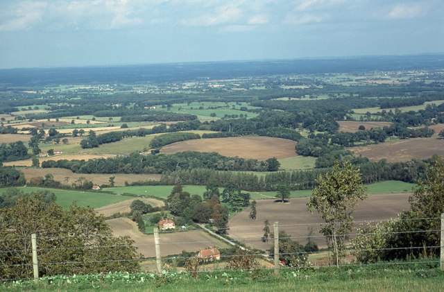
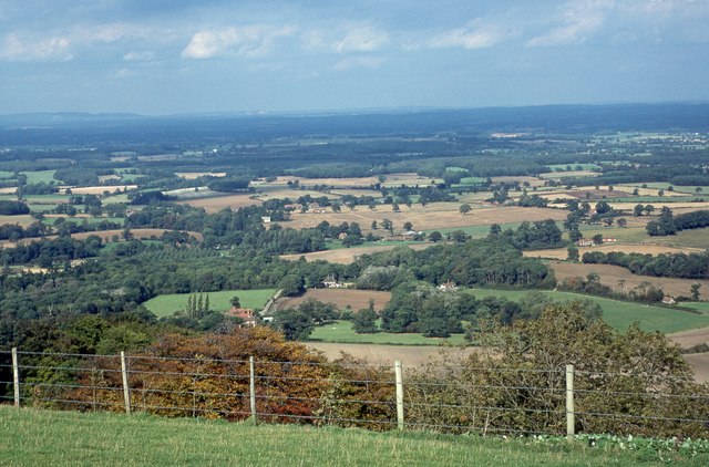
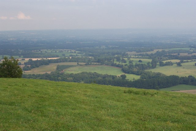
Wheelers Common is a picturesque area located in the county of Sussex, England. Situated in the heart of the South Downs, this vast expanse of land covers both downs and moorland, offering visitors a unique blend of natural beauty and tranquility. Spanning an area of approximately 500 acres, Wheelers Common is a popular destination for outdoor enthusiasts, nature lovers, and those seeking a peaceful retreat.
The downs of Wheelers Common are characterized by rolling hills, covered in lush green grass and dotted with vibrant wildflowers during the summer months. The elevated terrain provides breathtaking panoramic views of the surrounding countryside, making it a favored spot for hikers and cyclists. The moorland portion of the common is distinguished by its heathland vegetation, featuring purple heather, gorse bushes, and scattered patches of bracken.
The area is also home to a diverse range of wildlife, including various species of birds, butterflies, and small mammals. Birdwatchers can catch glimpses of kestrels, buzzards, and skylarks soaring overhead, while lucky visitors may even spot a rare peregrine falcon or a graceful red deer roaming the moorland.
Wheelers Common is easily accessible, with well-maintained footpaths and bridleways crisscrossing the area. These paths lead visitors through picturesque landscapes, offering opportunities for leisurely strolls, challenging hikes, or peaceful horseback rides.
Overall, Wheelers Common is a haven of natural beauty, offering visitors a chance to immerse themselves in the stunning Sussex countryside and connect with the rich biodiversity of the South Downs.
If you have any feedback on the listing, please let us know in the comments section below.
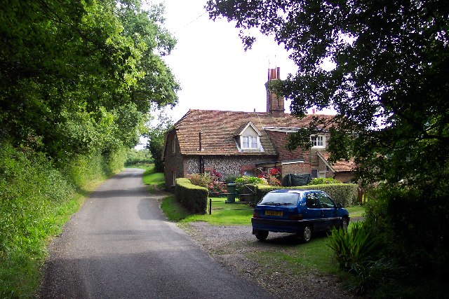
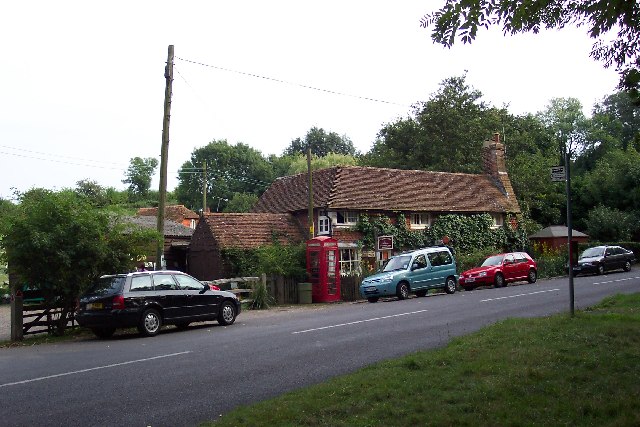
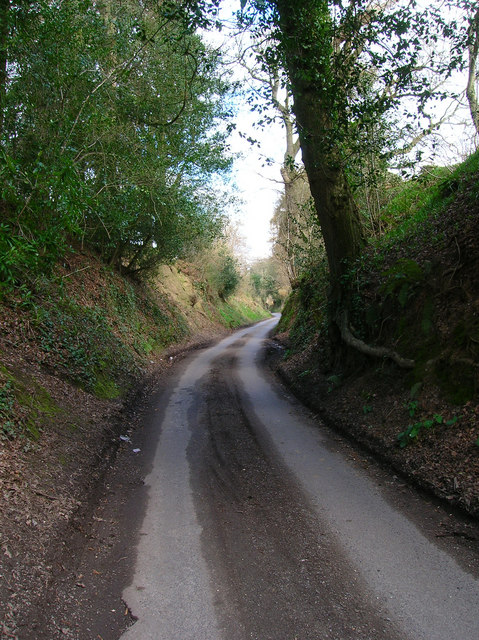
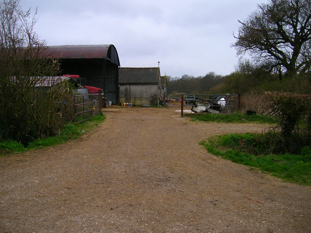
Wheelers Common Images
Images are sourced within 2km of 50.918006/-0.36515592 or Grid Reference TQ1514. Thanks to Geograph Open Source API. All images are credited.


Wheelers Common is located at Grid Ref: TQ1514 (Lat: 50.918006, Lng: -0.36515592)
Administrative County: West Sussex
District: Horsham
Police Authority: Sussex
What 3 Words
///bullion.altering.downhill. Near Ashington, West Sussex
Nearby Locations
Related Wikis

Wiston, West Sussex
Wiston is a scattered village and civil parish in the Horsham District of West Sussex, England. It lies on the A283 road 2.8 miles (4.5 km) northwest of...

Buncton
Buncton () is a small village in the Horsham District of West Sussex, England, part of the civil parish of Wiston 0.5 miles (0.80 km) north. It lies to...
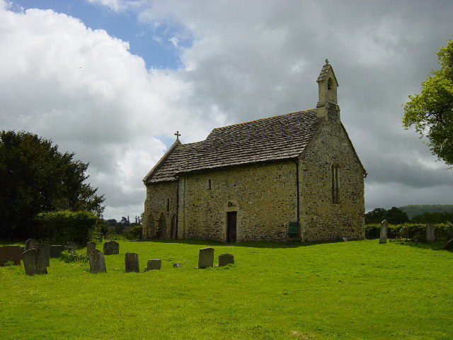
All Saints Church, Buncton
All Saints Church is an Anglican church in the hamlet of Buncton in the district of Horsham, one of seven local government districts in the English county...

South Downs National Park
The South Downs National Park is England's newest national park, designated on 31 March 2010. The park, covering an area of 1,627 square kilometres (628...
Nearby Amenities
Located within 500m of 50.918006,-0.36515592Have you been to Wheelers Common?
Leave your review of Wheelers Common below (or comments, questions and feedback).