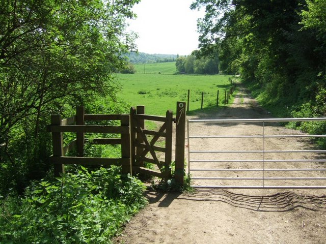
Juniperhill Wood

Wood, Forest in Surrey Mole Valley

England

Juniperhill Wood

Iron wicket gate Footpath Mickleham 18 lies across the Mickleham Bypass (the A24).  The crossing from west to east is straightforward, but the crossing from east to west is potentially lethal, owing to the lack of visibility when crossing the north-bound carriageway from the central reservation.  Heading east, one climbs up the bank of the bypass, and this park-style railing with wicket gate (and adjacent access for hand-carts) appears to date from the construction of the bypass in 1937–38.
Iron wicket gate Credit: Hugh Craddock

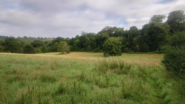
Juniperhill Wood is a picturesque woodland located in Surrey, England. Covering an area of approximately 100 acres, it is a thriving example of a mixed deciduous forest, characterized by its diverse range of trees and abundant wildlife.

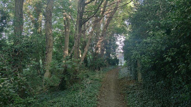
The woodland is primarily composed of oak, beech, and birch trees, which create a dense canopy that provides shade and shelter for the undergrowth. This diverse habitat supports a variety of plant species, including bluebells, primroses, and wild garlic, which blanket the forest floor during the spring months.

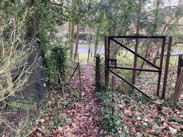
Juniperhill Wood is renowned for its tranquil and serene atmosphere, making it a popular destination for nature enthusiasts and walkers. Numerous footpaths meander through the wood, allowing visitors to explore its hidden corners and discover its natural beauty. The wood is also a haven for birdwatchers, with a multitude of species such as woodpeckers, nuthatches, and tawny owls calling it their home.

The wood is managed by the local council, ensuring its preservation and maintenance. Regular conservation efforts, such as tree planting and controlled burning, help to maintain a healthy ecosystem and promote biodiversity.

Juniperhill Wood is not only a natural treasure but also holds historical significance. It is believed to have been in existence for hundreds of years and holds remnants of ancient woodlands that once covered much of Surrey.

Overall, Juniperhill Wood is a precious natural gem in the heart of Surrey, offering a sanctuary for both wildlife and visitors alike to appreciate the beauty and tranquility of a thriving woodland ecosystem.

If you have any feedback on the listing, please let us know in the comments section below.

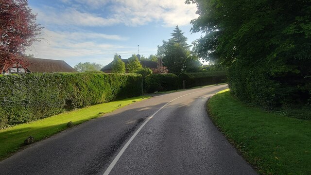
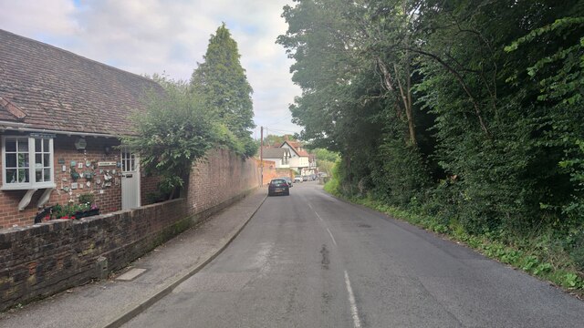
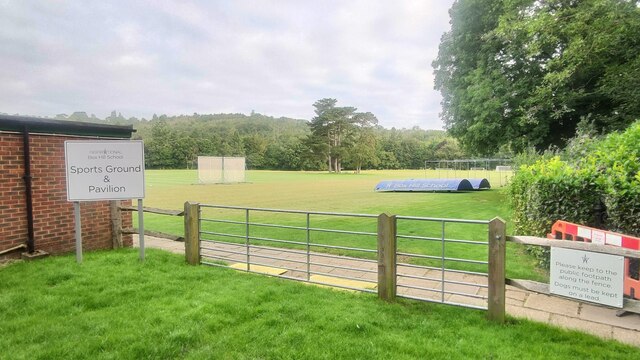
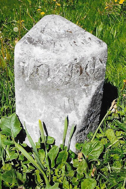
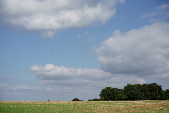
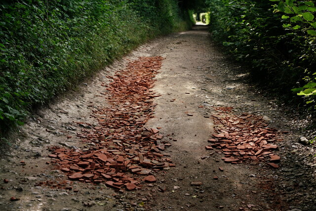
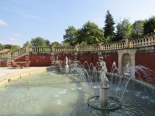
Juniperhill Wood Images

Images are sourced within 2km of 51.274061/-0.34414924 or Grid Reference TQ1554. Thanks to Geograph Open Source API. All images are credited.

Iron wicket gate Footpath Mickleham 18 lies across the Mickleham Bypass (the A24).  The crossing from west to east is straightforward, but the crossing from east to west is potentially lethal, owing to the lack of visibility when crossing the north-bound carriageway from the central reservation.  Heading east, one climbs up the bank of the bypass, and this park-style railing with wicket gate (and adjacent access for hand-carts) appears to date from the construction of the bypass in 1937–38.
Iron wicket gate
Footpath Mickleham 18 lies across the Mickleham Bypass (the A24). The crossing from west to east is straightforward, but the crossing from east to west is potentially lethal, owing to the lack of visibility when crossing the north-bound carriageway from the central reservation. Heading east, one climbs up the bank of the bypass, and this park-style railing with wicket gate (and adjacent access for hand-carts) appears to date from the construction of the bypass in 1937–38.
Bridleway towards Downs Lane
Hidden cycle path following the Dorking Road This path could easily missed by cyclists. Modern route apps will show this route.
Hidden cycle path following the Dorking Road
This path could easily missed by cyclists. Modern route apps will show this route.
Givons Grove - The Downs Entrance road from the A24 leatherhead bypass.
Givons Grove - The Downs
Entrance road from the A24 leatherhead bypass.
The Downs Windy road through the housing estate.
The Downs
Windy road through the housing estate.
Mickleham - Old London Road
Box Hill School playing field Grounds next to Swanworth Farm
Box Hill School playing field
Grounds next to Swanworth Farm
Field north of Fredley Manor Footpath on the right going to the Old London Road.
Field north of Fredley Manor
Footpath on the right going to the Old London Road.
Old Milestone, B2122, Hawk's Hill, Fetcham The milestone is located by Harraway Manor flats, on the North side of the road, on the grass verge. Parish of Leatherhead (Mole Valley District). Carved stone post, Leatherhead cut multi-faced design, erected by Leatherhead & Stoke next Guildford turnpike trust, 19th century.

Inscription reads:-  LEATHERHEAD / ½  ::  LONDON / 19 / SUTTON / 8  :: (GUILDFORD / 11 /)  ::  {Bell shape} LEATHERHEAD

Grade II listed by Historic England, List Entry Number: 1391539  <span class="nowrap"><a title="https://historicengland.org.uk/listing/the-list/list-entry/1391539" rel="nofollow ugc noopener" href="https://historicengland.org.uk/listing/the-list/list-entry/1391539">Link</a><img style="margin-left:2px;" alt="External link" title="External link - shift click to open in new window" src="https://s1.geograph.org.uk/img/external.png" width="10" height="10"/></span>

Milestone Society National ID: SY_GULH11
Old Milestone, B2122, Hawk's Hill, Fetcham
The milestone is located by Harraway Manor flats, on the North side of the road, on the grass verge. Parish of Leatherhead (Mole Valley District). Carved stone post, Leatherhead cut multi-faced design, erected by Leatherhead & Stoke next Guildford turnpike trust, 19th century. Inscription reads:- LEATHERHEAD / ½ :: LONDON / 19 / SUTTON / 8 :: (GUILDFORD / 11 /) :: {Bell shape} LEATHERHEAD Grade II listed by Historic England, List Entry Number: 1391539 LinkExternal link Milestone Society National ID: SY_GULH11
View From Bookham Wood Looking in the direction of Norbury Park.
View From Bookham Wood
Looking in the direction of Norbury Park.
Track on Denshire Hill Behind the photographer, the track continues to Bocketts Farm.
Track on Denshire Hill
Behind the photographer, the track continues to Bocketts Farm.
Fetcham Park West of Leatherhead, Fetcham Park House is a Queen Anne mansion designed by William Talman. It now has offices and caters for conferences and weddings. 
It is open on Heritage Open Days.
<span class="nowrap"><a title="www.fetchampark.co.uk" rel="nofollow ugc noopener" href="http://www.fetchampark.co.uk">Link</a><img style="margin-left:2px;" alt="External link" title="External link - shift click to open in new window" src="https://s1.geograph.org.uk/img/external.png" width="10" height="10"/></span>
Fetcham Park
West of Leatherhead, Fetcham Park House is a Queen Anne mansion designed by William Talman. It now has offices and caters for conferences and weddings. It is open on Heritage Open Days. LinkExternal link
Fetcham - St Mary's Church The historic parish church's oldest components are Roman bricks in its fabric.
<span class="nowrap"><a title="www.stmarysfetcham.org.uk" rel="nofollow ugc noopener" href="http://www.stmarysfetcham.org.uk">Link</a><img style="margin-left:2px;" alt="External link" title="External link - shift click to open in new window" src="https://s1.geograph.org.uk/img/external.png" width="10" height="10"/></span>
Fetcham - St Mary's Church
The historic parish church's oldest components are Roman bricks in its fabric. LinkExternal link
Fetcham Church - Vincent Memorial The historic parish church contains a memorial to Henry Vincent (d.1631) - a praying bust with an open book, in a cartouche with Corinthian small columns.
<span class="nowrap"><a title="www.stmarysfetcham.org.uk" rel="nofollow ugc noopener" href="http://www.stmarysfetcham.org.uk">Link</a><img style="margin-left:2px;" alt="External link" title="External link - shift click to open in new window" src="https://s1.geograph.org.uk/img/external.png" width="10" height="10"/></span>
Fetcham Church - Vincent Memorial
The historic parish church contains a memorial to Henry Vincent (d.1631) - a praying bust with an open book, in a cartouche with Corinthian small columns. LinkExternal link
Fetcham Parish Detail of the parish map within St Mary's Church.
<span class="nowrap"><a title="www.stmarysfetcham.org.uk" rel="nofollow ugc noopener" href="http://www.stmarysfetcham.org.uk">Link</a><img style="margin-left:2px;" alt="External link" title="External link - shift click to open in new window" src="https://s1.geograph.org.uk/img/external.png" width="10" height="10"/></span>
Fetcham Parish
Detail of the parish map within St Mary's Church. LinkExternal link
Fetcham Park - Yarn Bombing The horse heads decorating the fountain were adorned with woollen bridles for Heritage Open Day 2021.
<span class="nowrap"><a title="www.fetchampark.co.uk" rel="nofollow ugc noopener" href="http://www.fetchampark.co.uk">Link</a><img style="margin-left:2px;" alt="External link" title="External link - shift click to open in new window" src="https://s1.geograph.org.uk/img/external.png" width="10" height="10"/></span>
Fetcham Park - Yarn Bombing
The horse heads decorating the fountain were adorned with woollen bridles for Heritage Open Day 2021. LinkExternal link
Fetcham Park - Fountain Ornamental fountain facing the south wall of the Queen Anne mansion.
<span class="nowrap"><a title="www.fetchampark.co.uk" rel="nofollow ugc noopener" href="http://www.fetchampark.co.uk">Link</a><img style="margin-left:2px;" alt="External link" title="External link - shift click to open in new window" src="https://s1.geograph.org.uk/img/external.png" width="10" height="10"/></span>
Fetcham Park - Fountain
Ornamental fountain facing the south wall of the Queen Anne mansion. LinkExternal link
Fetcham Park House - East Front West of Leatherhead, Fetcham Park House is a Queen Anne mansion designed by William Talman. It now has offices and caters for conferences and weddings. 
It is open on Heritage Open Days.
<span class="nowrap"><a title="www.fetchampark.co.uk" rel="nofollow ugc noopener" href="http://www.fetchampark.co.uk">Link</a><img style="margin-left:2px;" alt="External link" title="External link - shift click to open in new window" src="https://s1.geograph.org.uk/img/external.png" width="10" height="10"/></span>
Fetcham Park House - East Front
West of Leatherhead, Fetcham Park House is a Queen Anne mansion designed by William Talman. It now has offices and caters for conferences and weddings. It is open on Heritage Open Days. LinkExternal link
Show me another place!

Juniperhill Wood is located at Grid Ref: TQ1554 (Lat: 51.274061, Lng: -0.34414924)

Administrative County: Surrey

District: Mole Valley

Police Authority: Surrey

What 3 Words

///ruins.daring.grape. Near Great Bookham, Surrey

Related Wikis

Norbury Park

Norbury Park is a swathe of mixed wooded and agricultural land associated with its Georgian manor house near Leatherhead and Dorking, Surrey, which appears...

Bocketts Farm

Bocketts Farm in Surrey, England is a visitor attraction farm set in the countryside on the slopes of the North Downs 1.6 miles (2.6 km) due south of Leatherhead...

Mole Gap Trail

The Mole Gap Trail is a 10-kilometre (6.2 mi) official walking route alongside the River Mole, linking the Surrey towns of Dorking and Leatherhead. The...

Mole Valley (UK Parliament constituency)

Mole Valley is a constituency in Surrey represented in the House of Commons of the UK Parliament since 1997 by Sir Paul Beresford, a Conservative.Further...

Box Hill School

Box Hill School is an independent coeducational boarding and day school situated in the village of Mickleham near Dorking, Surrey, England. The school...

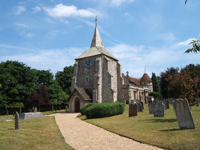
St. Michael's Churchyard, Mickleham

St. Michael's Churchyard is the church and graveyard located in Mickleham, Surrey, England, belonging to the Church of England parish of Mickleham. �...

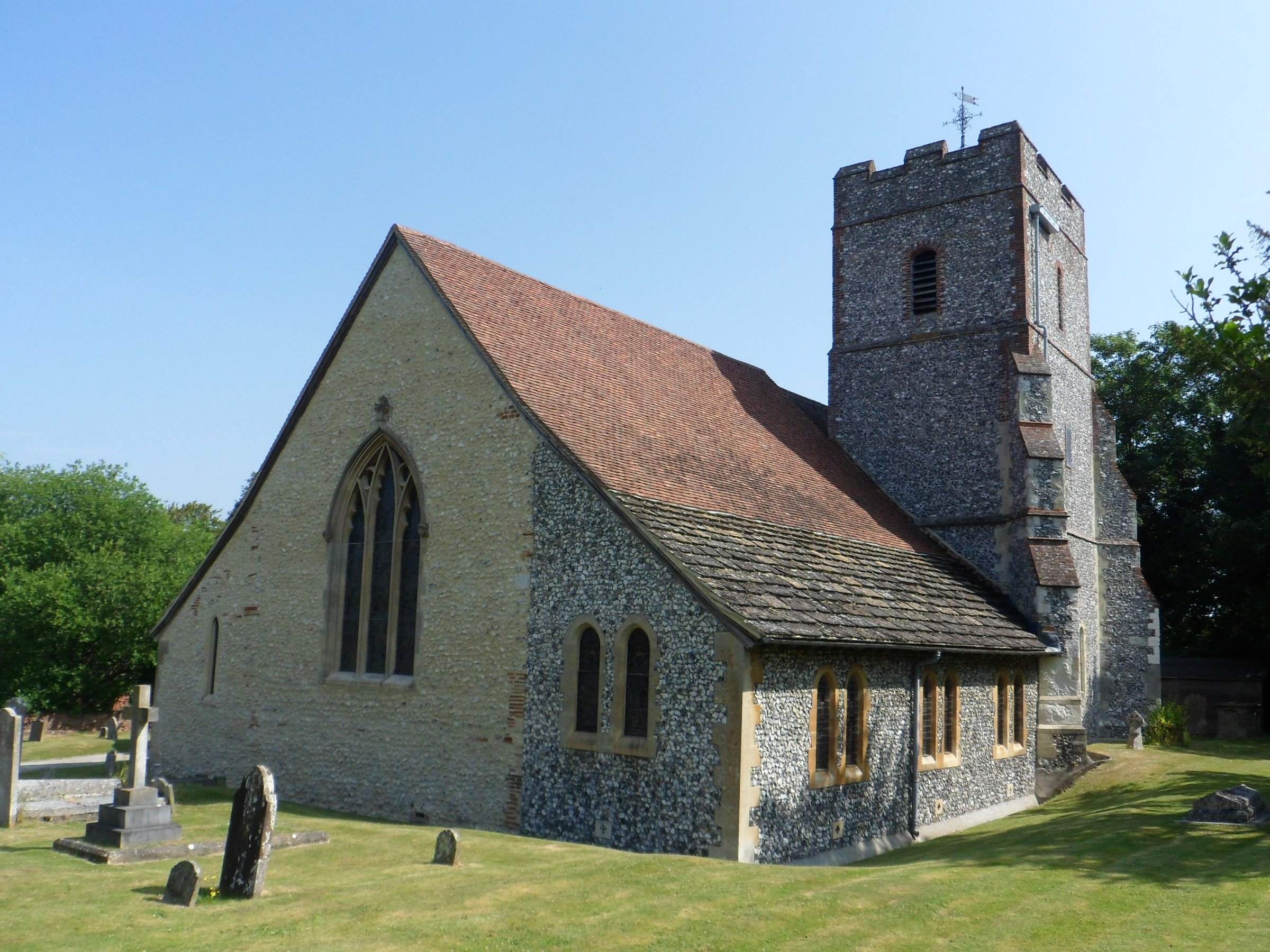
Church of St Mary, Fetcham

St Mary's Church, Fetcham, Surrey, England is a Church of England parish church (community) but also refers to its building which dates to the 11th century...
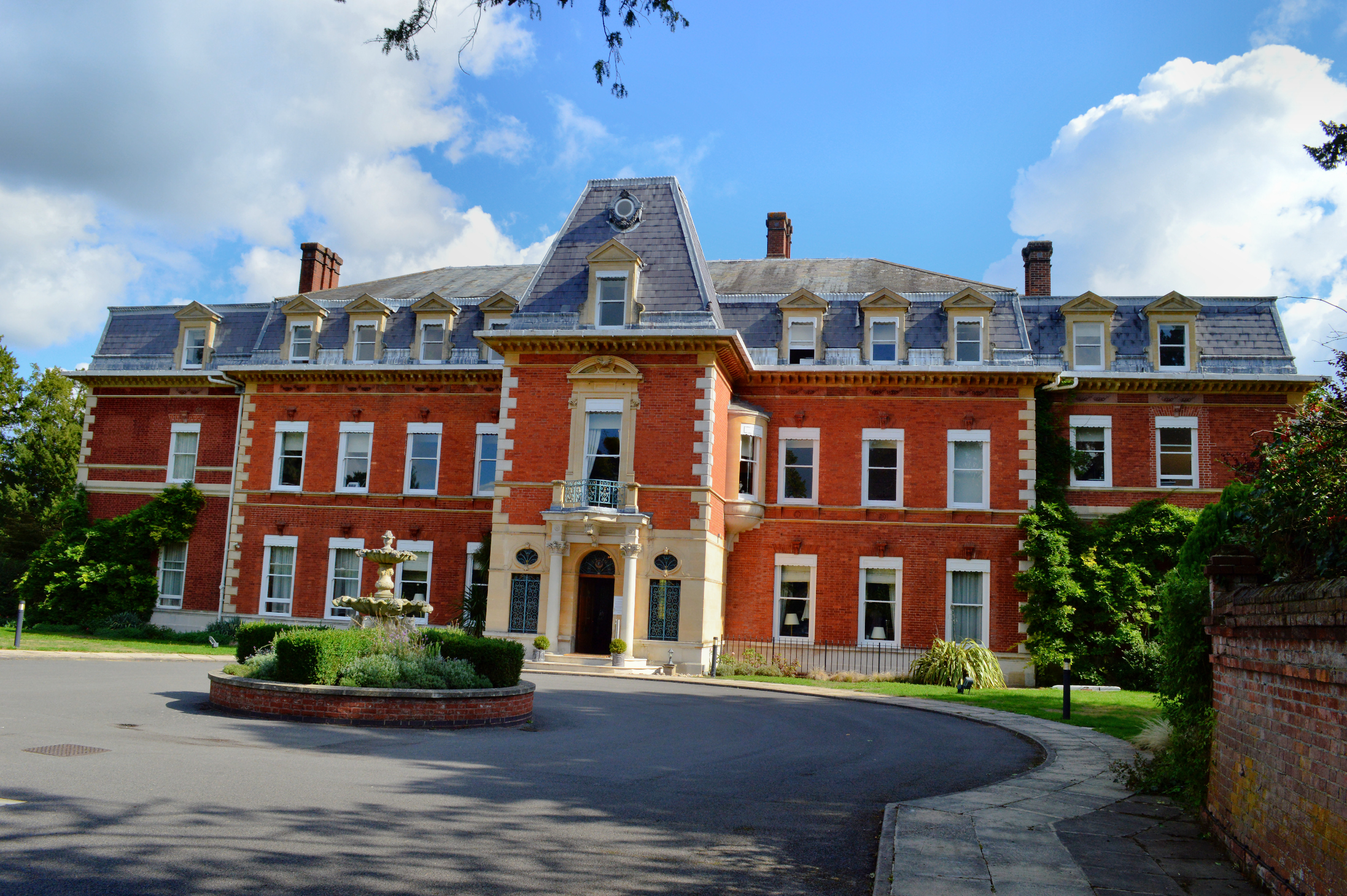
Fetcham Park House

Fetcham Park House is a Queen Anne mansion designed by the English architect William Talman with internal murals by the renowned artist Louis Laguerre...

Nearby Amenities

Located within 500m of 51.274061,-0.34414924
Walnut Tree Clump
Natural: wood
Lat/Long: 51.27577/-0.342251
Access: yes
Tourism: picnic_site
Lat/Long: 51.2717736/-0.3421723
Barrier: kissing_gate
Lat/Long: 51.271895/-0.3417986
Barrier: stile
Horse: no
Stile: squeezer
Lat/Long: 51.2741412/-0.3430244
Barrier: stile
Horse: no
Stile: squeezer
Lat/Long: 51.2744446/-0.342549
Barrier: stile
Horse: no
Stile: squeezer
Lat/Long: 51.2749115/-0.350395
Fetcham Downs
Place: locality
Lat/Long: 51.2767485/-0.3483103
Updown Wood
Place: locality
Lat/Long: 51.2759283/-0.3399306
Bench
Backrest: no
Lat/Long: 51.2716751/-0.3453861
Bench
Backrest: yes
Seats: 3
Source: gps
Lat/Long: 51.2729196/-0.3378229
Power: pole
Source: gps;Bing
Lat/Long: 51.2711906/-0.3467667
Bench
Backrest: yes
Material: wood
Lat/Long: 51.2749459/-0.3467126
Barrier: stile
Lat/Long: 51.2736476/-0.3480601
Bench
Lat/Long: 51.2738966/-0.3467364
Fetcham Downs
Place: locality
Lat/Long: 51.2735084/-0.3453052
Bench
Lat/Long: 51.2724484/-0.3452248
Bench
Lat/Long: 51.2731005/-0.3467168
Chalk Grassland
Leisure: park
Lat/Long: 51.2720158/-0.3459608
London viewpoint
Tourism: viewpoint
Lat/Long: 51.2749492/-0.3466993
The data included in this document is from www.openstreetmap.org. The data is made available under ODbL.

Have you been to Juniperhill Wood?

Leave your review of Juniperhill Wood below (or comments, questions and feedback).