Meagre Wood
Wood, Forest in Huntingdonshire Huntingdonshire
England
Meagre Wood
Meagre Wood is a small forest located in the county of Huntingdonshire in England. Covering an area of approximately 100 acres, it is known for its diverse range of flora and fauna. The wood is primarily composed of deciduous trees such as oak, beech, and ash, creating a picturesque landscape that changes throughout the seasons.
The wood is a popular destination for nature enthusiasts and walkers, offering a network of well-maintained trails that wind through the dense foliage. These trails provide an opportunity to explore the wood's varied ecosystems, which include ancient woodland, wetland areas, and meadows. Birdwatchers are often drawn to Meagre Wood due to its abundance of avian species, including woodpeckers, owls, and various songbirds.
The forest is also home to a diverse range of wildlife, with sightings of deer, foxes, badgers, and rabbits being common. The wood's secluded location and peaceful atmosphere make it an ideal habitat for these animals.
In addition to its natural beauty, Meagre Wood holds historical significance. It is believed that the wood has been in existence for hundreds of years, with records dating back to the medieval period. The remnants of an old charcoal pit can still be seen, providing a glimpse into the wood's past.
Overall, Meagre Wood is a tranquil and scenic forest that offers a rich biodiversity and a serene escape from the bustling urban areas nearby.
If you have any feedback on the listing, please let us know in the comments section below.
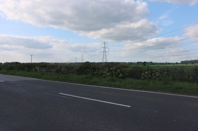
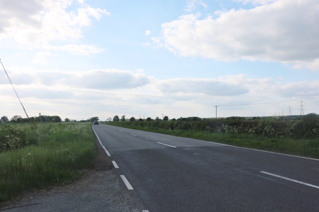
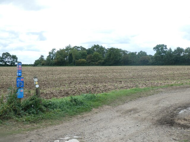
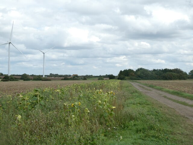
Meagre Wood Images
Images are sourced within 2km of 52.262925/-0.30763548 or Grid Reference TL1564. Thanks to Geograph Open Source API. All images are credited.


Meagre Wood is located at Grid Ref: TL1564 (Lat: 52.262925, Lng: -0.30763548)
Administrative County: Cambridgeshire
District: Huntingdonshire
Police Authority: Cambridgeshire
What 3 Words
///quitter.haunts.example. Near Little Paxton, Cambridgeshire
Nearby Locations
Related Wikis

Little Paxton Wood
Little Paxton Wood is a 44.1-hectare biological Site of Special Scientific Interest west of Little Paxton in Cambridgeshire.This ancient wood is wet ash...

Great Staughton
Great Staughton is a village and civil parish in Cambridgeshire, England. Great Staughton lies approximately 8 miles (13 km) south-west of Huntingdon....

Southoe and Midloe
Southoe and Midloe is a small civil parish in Cambridgeshire, England. The parish lies approximately 6 miles (10 km) south-west of Huntingdon. The parish...

HM Prison Littlehey
HM Prison Littlehey is a Category C male prison in the village of Perry near Huntingdon in Cambridgeshire, England. Littlehey Prison is operated by His...

Perry, Cambridgeshire
Perry is a village and civil parish in Cambridgeshire, England, approximately 6 miles (10 km) south-west of Huntingdon. Perry is in Huntingdonshire, a...

The Royal Oak, Hail Weston
The Royal Oak is a 17th-century pub in the village of Hail Weston, Cambridgeshire (historically Huntingdonshire). It is the last remaining pub in the village...

Hail Weston
Hail Weston is a village and civil parish in Cambridgeshire, England. Hail Weston lies approximately 7 miles (11 km) south of Huntingdon. Hail Weston is...

Gaynes Hall
Gaynes Hall is a Grade II* listed Georgian mansion set in 20 acres (81,000 m2) of parkland in the heart of the Cambridgeshire countryside. Located in the...
Nearby Amenities
Located within 500m of 52.262925,-0.30763548Have you been to Meagre Wood?
Leave your review of Meagre Wood below (or comments, questions and feedback).