Sheath Wood
Wood, Forest in Lincolnshire North Kesteven
England
Sheath Wood
Sheath Wood is a beautiful forest located in Lincolnshire, England. Covering an area of approximately 100 acres, it is a popular destination for nature lovers and outdoor enthusiasts. The wood is predominantly made up of deciduous trees, including oak, beech, and birch, which create a stunning display of colors during the autumn months.
The forest is home to a diverse range of wildlife, making it an ideal spot for birdwatchers and animal enthusiasts. Visitors may catch a glimpse of various species, such as deer, foxes, squirrels, and a variety of birds including woodpeckers and owls. The peaceful atmosphere and tranquil surroundings provide a perfect setting for a peaceful walk or a picnic amidst nature.
The wood features several well-maintained trails, offering visitors the opportunity to explore its hidden gems. The paths are suitable for both walkers and cyclists, making it an excellent choice for a family day out. Additionally, the wood is equipped with benches and picnic areas, providing ample space for visitors to relax and enjoy the surroundings.
Sheath Wood is also known for its historical significance. It is believed to have been a part of an ancient forest that covered large parts of Lincolnshire. The wood has been carefully managed over the years, ensuring the preservation of its natural beauty and ecological value.
Overall, Sheath Wood in Lincolnshire offers a delightful escape from the hustle and bustle of everyday life. Its picturesque landscapes, abundant wildlife, and peaceful ambiance make it a must-visit destination for nature enthusiasts and anyone seeking solace in the beauty of the outdoors.
If you have any feedback on the listing, please let us know in the comments section below.
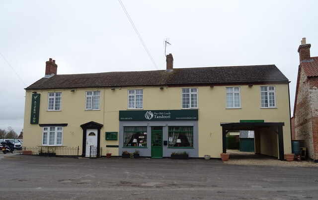
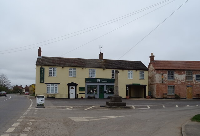
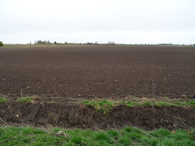
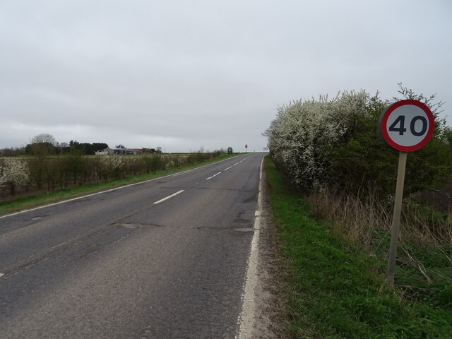
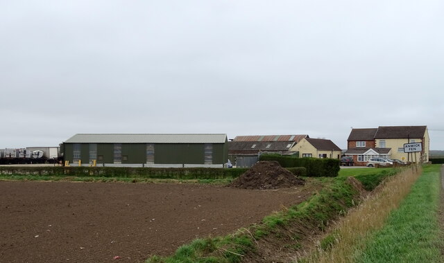
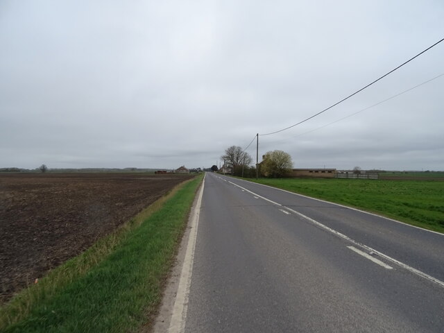
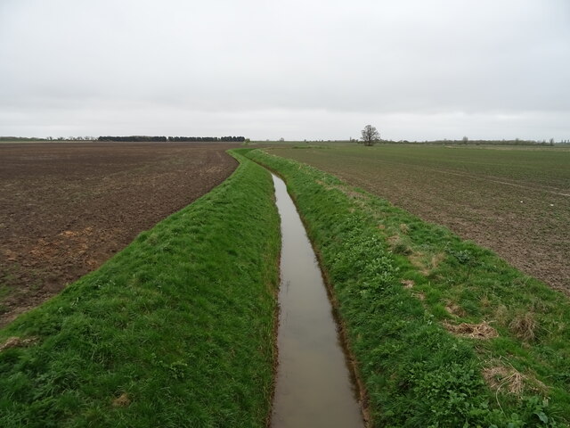
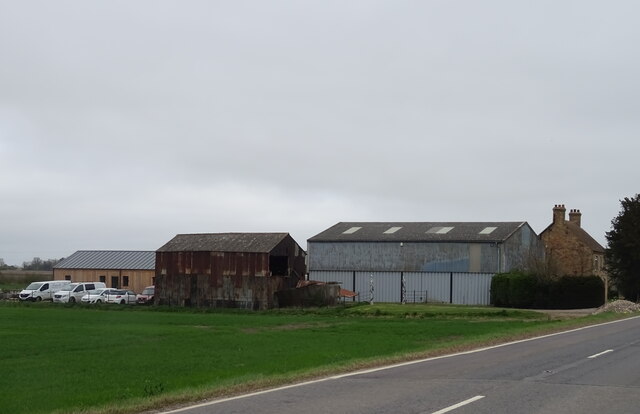
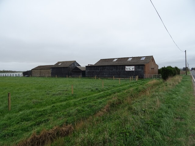
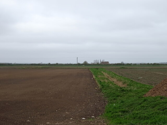
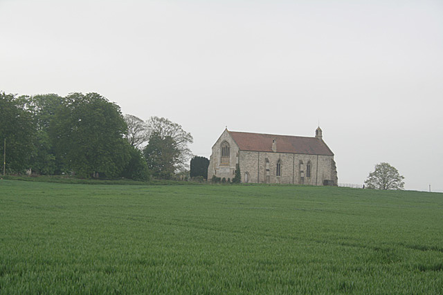
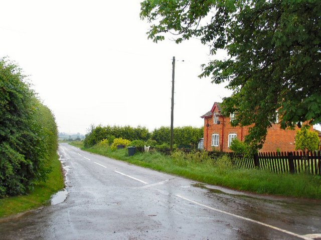
Sheath Wood Images
Images are sourced within 2km of 53.043907/-0.27708498 or Grid Reference TF1551. Thanks to Geograph Open Source API. All images are credited.
Sheath Wood is located at Grid Ref: TF1551 (Lat: 53.043907, Lng: -0.27708498)
Administrative County: Lincolnshire
District: North Kesteven
Police Authority: Lincolnshire
What 3 Words
///titles.digit.skills. Near Billinghay, Lincolnshire
Nearby Locations
Related Wikis
Kyme Priory
Kyme Priory was a priory in South Kyme, Lincolnshire, England. What remains of the buildings are now part of Saint Mary and All Saints Church. The Augustinian...

North Kyme
North Kyme is a village and civil parish in the North Kesteven district of Lincolnshire, England. The civil parish had a population of 431 at the 2011...

South Kyme
South Kyme is a small village and civil parish in the North Kesteven district of Lincolnshire, England. The population of the civil parish at the 2011...

Car Dyke
The Car Dyke was, and to a large extent still is, a long ditch which runs along the western edge of the Fens in eastern England for a distance of over...

Billinghay
Billinghay is a village and civil parish in the North Kesteven district of Lincolnshire, England. The village is situated approximately 7 miles (11 km...
Ewerby Thorpe
Ewerby Thorpe is a hamlet in the civil parish of Ewerby and Evedon, in the North Kesteven district of Lincolnshire, England. It lies 2 miles (3.2 km) north...

Anwick
Anwick is a small village and civil parish in the North Kesteven district of Lincolnshire, England. The population of the civil parish at the 2011 census...
Ewerby and Evedon
Ewerby and Evedon is a civil Parish in North Kesteven, Lincolnshire, England. It includes the villages of Ewerby and Evedon, the hamlet of Haverholme,...
Nearby Amenities
Located within 500m of 53.043907,-0.27708498Have you been to Sheath Wood?
Leave your review of Sheath Wood below (or comments, questions and feedback).