Birch Wood
Wood, Forest in Hertfordshire St. Albans
England
Birch Wood
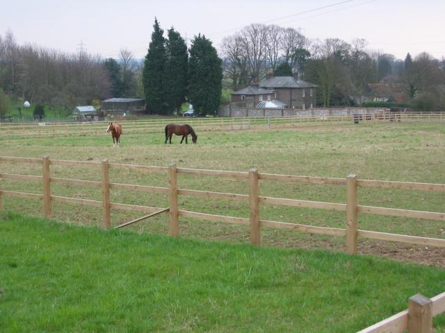
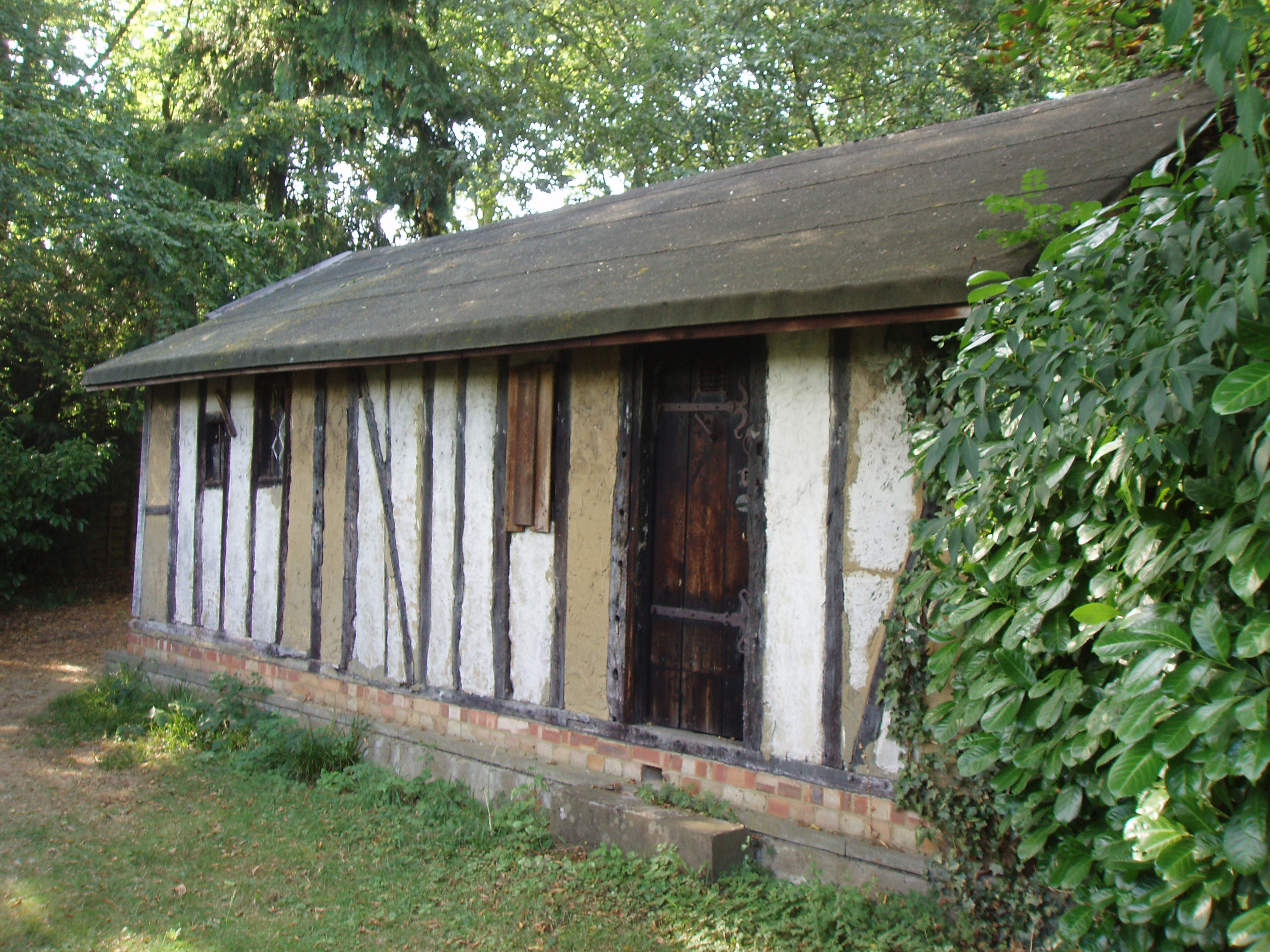
Birch Wood is a picturesque forest located in Hertfordshire, England. This woodland area covers approximately 50 acres and is renowned for its stunning beauty and tranquil atmosphere. It is a popular destination for nature lovers, hikers, and families looking to enjoy the great outdoors.
The wood gets its name from the birch trees that dominate the landscape. These slender, white-trunked trees create a unique and enchanting ambiance, especially during the spring and summer months when their leaves are in full bloom. The forest floor is carpeted with bluebells and other wildflowers during this time, adding a splash of color to the scene.
Birch Wood is home to a diverse range of wildlife, including various bird species, deer, foxes, and squirrels. It provides a natural habitat for these animals, making it an excellent spot for birdwatching and wildlife photography.
For outdoor enthusiasts, the wood offers a network of trails and paths that wind through the forest, allowing visitors to explore its hidden corners and discover its natural wonders. There are also picnic areas and benches scattered throughout the wood, providing a perfect spot to rest and enjoy a packed lunch amidst nature.
Managed by the local council, Birch Wood is well-maintained, with designated parking areas and clear signposts guiding visitors. It is easily accessible by both car and public transport, making it a popular day trip destination for locals and tourists alike.
Overall, Birch Wood is a captivating and tranquil forest, offering a peaceful escape from the hustle and bustle of everyday life. Whether you are seeking a leisurely stroll, a family picnic, or a chance to immerse yourself in nature, Birch Wood is a must-visit destination in Hertfordshire.
If you have any feedback on the listing, please let us know in the comments section below.
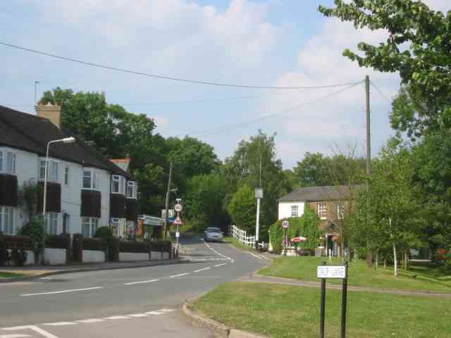
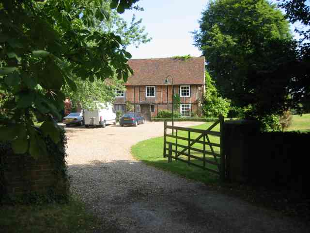
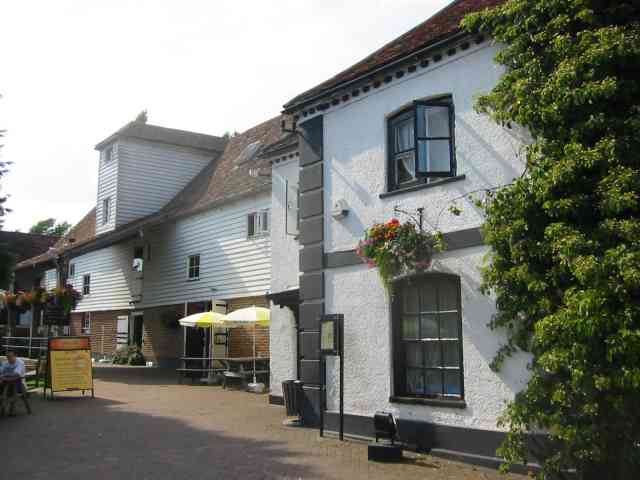
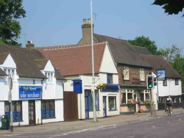
Birch Wood Images
Images are sourced within 2km of 51.718849/-0.35506788 or Grid Reference TL1303. Thanks to Geograph Open Source API. All images are credited.
Birch Wood is located at Grid Ref: TL1303 (Lat: 51.718849, Lng: -0.35506788)
Administrative County: Hertfordshire
District: St. Albans
Police Authority: Hertfordshire
What 3 Words
///scout.suffice.became. Near St Albans, Hertfordshire
Nearby Locations
Related Wikis

Spielplatz
Spielplatz (German for playground) is the longest-operating naturist resort in United Kingdom, and consists of 12 acres (4.9 ha) located in the village...

How Wood
How Wood is a residential village, south of Park Street village between the centres of Watford and St Albans in St Stephen civil parish, Hertfordshire...
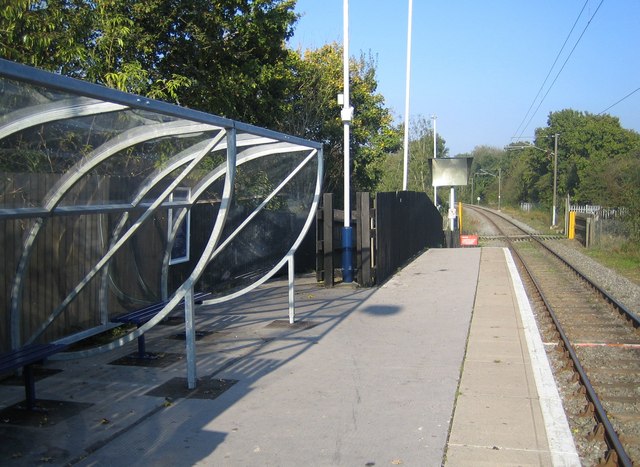
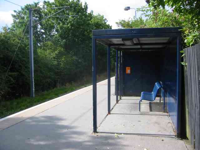
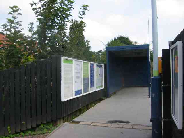
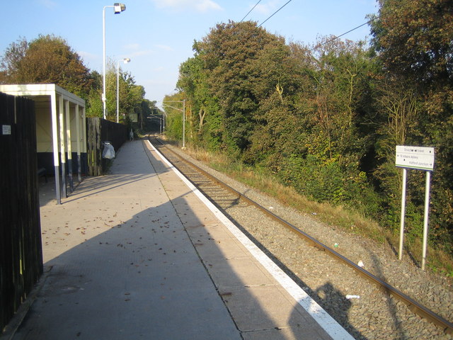
How Wood railway station
How Wood railway station is in the village of How Wood, Hertfordshire, England. It is the fourth station on the Abbey Line, 4+1⁄2 miles (7.2 km) from Watford...

Moor Mill Quarry, West
Moor Mill Quarry, West is a 0.16-hectare (0.40-acre) geological Site of Special Scientific Interest in How Wood in Hertfordshire. The local planning authority...

Chiswell Green
Chiswell Green is a village, on the southern outskirts of St Albans, in the parish of St Stephen and district of the City of St Albans in Hertfordshire...

Park Street, Hertfordshire
Park Street is a small Hertfordshire village on the southern outskirts of, and around 2 miles (3.2 km) south of the city centre of, St Albans in England...
Park Street railway station (England)
Park Street railway station serves the village of Park Street, Hertfordshire, England. It is the penultimate station on the Abbey Line. The station and...
Bricket Wood coven
The Bricket Wood coven, or Hertfordshire coven is a coven of Gardnerian witches founded in the 1940s by Gerald Gardner. It is notable for being the first...
Nearby Amenities
Located within 500m of 51.718849,-0.35506788Have you been to Birch Wood?
Leave your review of Birch Wood below (or comments, questions and feedback).