How Wood
Wood, Forest in Hertfordshire St. Albans
England
How Wood
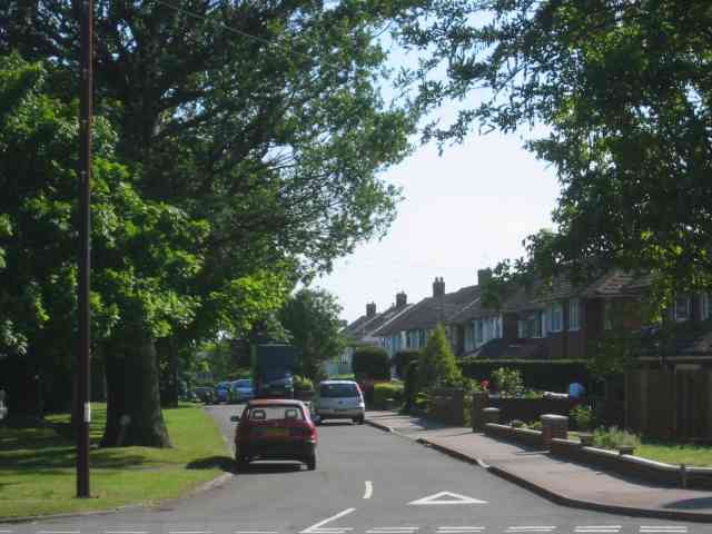
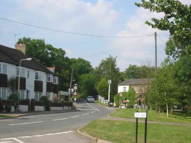
Wood is a small village located in the county of Hertfordshire, England. It is situated within the district of Three Rivers, approximately 3 miles southwest of Rickmansworth. Often referred to as Wood, Forest, the village is nestled within the scenic Chiltern Hills, offering its residents and visitors a picturesque environment.
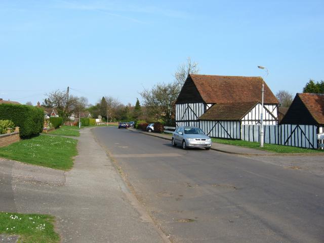
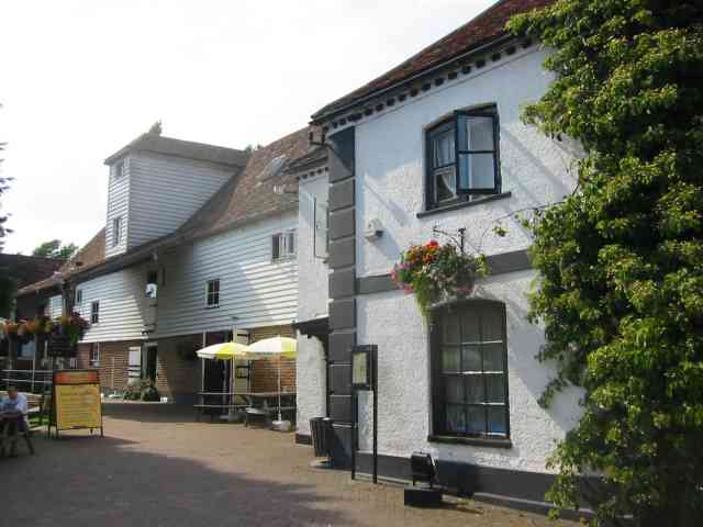
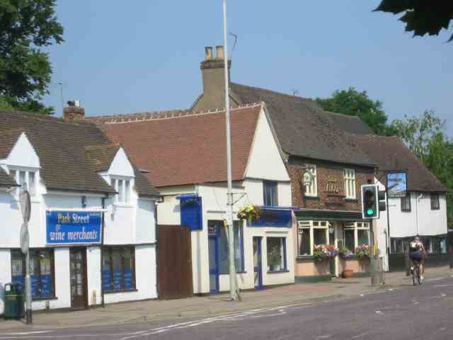
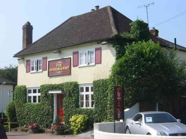
The village of Wood features a mix of traditional and modern housing, with a population of around 1,500 residents. The community is known for its close-knit atmosphere and friendly locals. The village has a primary school, providing education for the local children, and a few local businesses, including a convenience store and a pub.
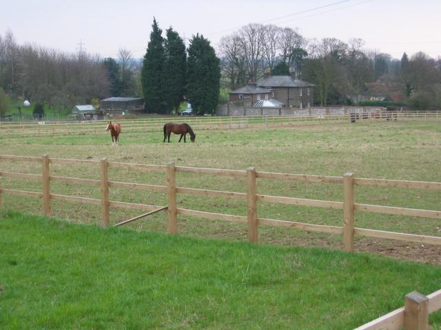
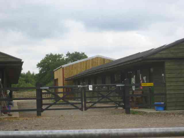
Wood is surrounded by lush greenery and woodlands, making it an ideal destination for nature enthusiasts. The nearby Chess Valley provides ample opportunities for hiking, cycling, and other outdoor activities. The village is also well-connected to neighboring towns and cities, with good transport links.
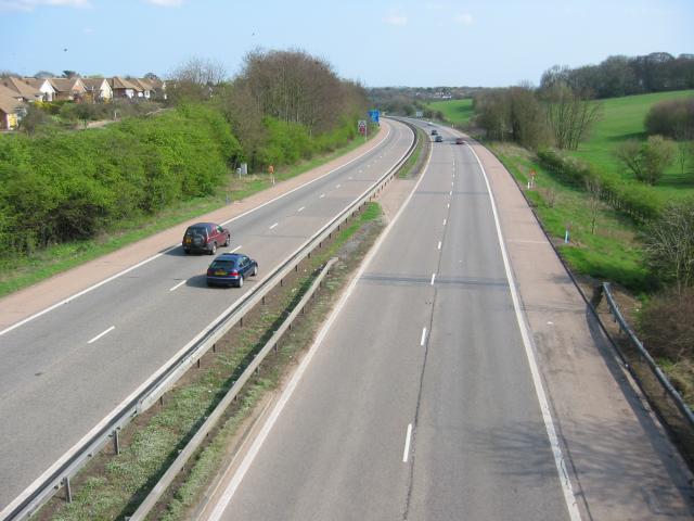
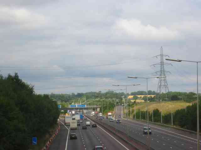
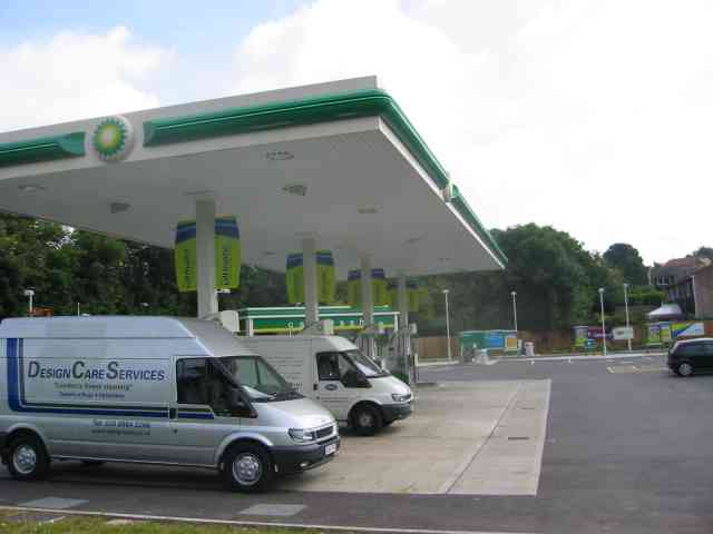
In terms of amenities, Wood benefits from its proximity to Rickmansworth, which offers a wider range of shopping, dining, and entertainment options. The village also boasts excellent transport connections, with the M25 motorway just a short drive away, providing easy access to London and other parts of the country.
Overall, Wood, Hertfordshire (Wood, Forest) offers a tranquil and scenic setting for those seeking a peaceful village lifestyle while still having convenient access to nearby urban centers.
If you have any feedback on the listing, please let us know in the comments section below.
How Wood Images
Images are sourced within 2km of 51.721118/-0.35402999 or Grid Reference TL1303. Thanks to Geograph Open Source API. All images are credited.

How Wood is located at Grid Ref: TL1303 (Lat: 51.721118, Lng: -0.35402999)
Administrative County: Hertfordshire
District: St. Albans
Police Authority: Hertfordshire
What 3 Words
///gender.heavy.normal. Near St Albans, Hertfordshire
Nearby Locations
Related Wikis

How Wood
How Wood is a residential village, south of Park Street village between the centres of Watford and St Albans in St Stephen civil parish, Hertfordshire...

Spielplatz
Spielplatz (German for playground) is the longest-operating naturist resort in United Kingdom, and consists of 12 acres (4.9 ha) located in the village...
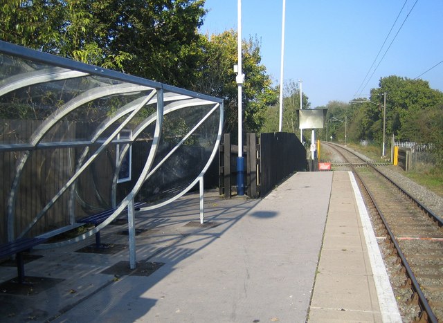
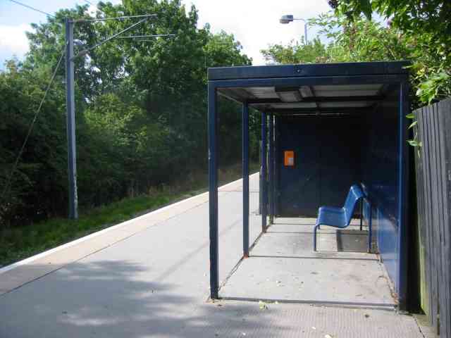
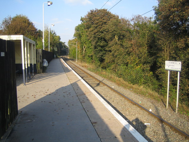
How Wood railway station
How Wood railway station is in the village of How Wood, Hertfordshire, England. It is the fourth station on the Abbey Line, 4+1⁄2 miles (7.2 km) from Watford...

Chiswell Green
Chiswell Green is a village, on the southern outskirts of St Albans, in the parish of St Stephen and district of the City of St Albans in Hertfordshire...

Park Street, Hertfordshire
Park Street is a small Hertfordshire village on the southern outskirts of, and around 2 miles (3.2 km) south of the city centre of, St Albans in England...
Park Street railway station (England)
Park Street railway station serves the village of Park Street, Hertfordshire, England. It is the penultimate station on the Abbey Line. The station and...

Moor Mill Quarry, West
Moor Mill Quarry, West is a 0.16-hectare (0.40-acre) geological Site of Special Scientific Interest in How Wood in Hertfordshire. The local planning authority...

Butterfly World, Hertfordshire
The Butterfly World Project was a visitor attraction in the village of Chiswell Green, on the outskirts of St Albans in Hertfordshire, UK, dedicated to...
Nearby Amenities
Located within 500m of 51.721118,-0.35402999Have you been to How Wood?
Leave your review of How Wood below (or comments, questions and feedback).