The Spinney

Wood, Forest in Hertfordshire St. Albans

England

The Spinney

Gateway to suburbia On the Western edge of Chiswell Green, having just left the farmland behind, looking East from TL131045.
Gateway to suburbia Credit: Rob Hinkley

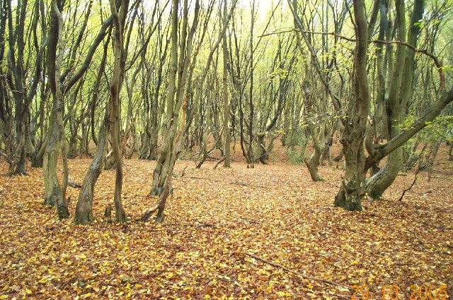
The Spinney, located in Hertfordshire, is a picturesque wood or forest area known for its natural beauty and tranquility. Stretching over a sprawling area, it is home to a diverse range of flora and fauna, making it an ideal spot for nature lovers and wildlife enthusiasts. The woodland is primarily composed of various species of trees, including oak, beech, and birch, which provide a dense canopy and offer shade during the summer months.

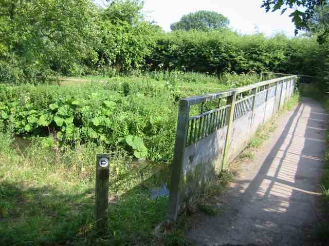
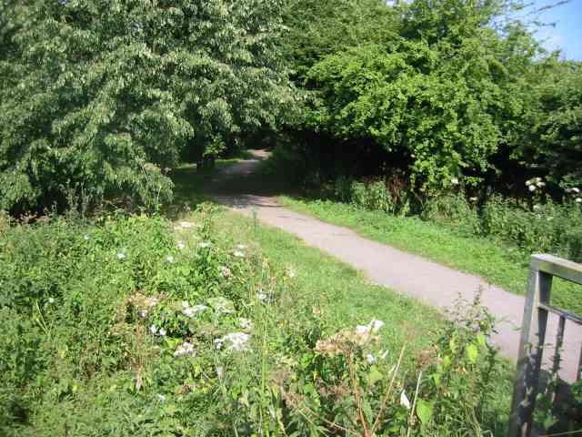
The Spinney is a popular destination for outdoor activities such as walking, hiking, and birdwatching. The well-maintained footpaths and trails wind through the wood, offering visitors the opportunity to explore and enjoy the stunning surroundings. The peaceful atmosphere and the sound of birdsong make it a perfect retreat for those seeking solace and a break from the hustle and bustle of everyday life.

The wood is also home to a diverse range of wildlife, including deer, foxes, badgers, and a variety of bird species. Birdwatchers can spot woodpeckers, owls, and various songbirds, while animal enthusiasts may catch a glimpse of the elusive deer or foxes roaming the area.

The Spinney is open to the public year-round, and visitors are encouraged to respect and preserve the natural environment. The wood offers a sense of serenity and a chance to reconnect with nature, making it a cherished destination for locals and tourists alike. Whether it's a leisurely stroll or an adventure-filled hike, The Spinney is a haven for those seeking an escape into the beauty of the natural world.

If you have any feedback on the listing, please let us know in the comments section below.
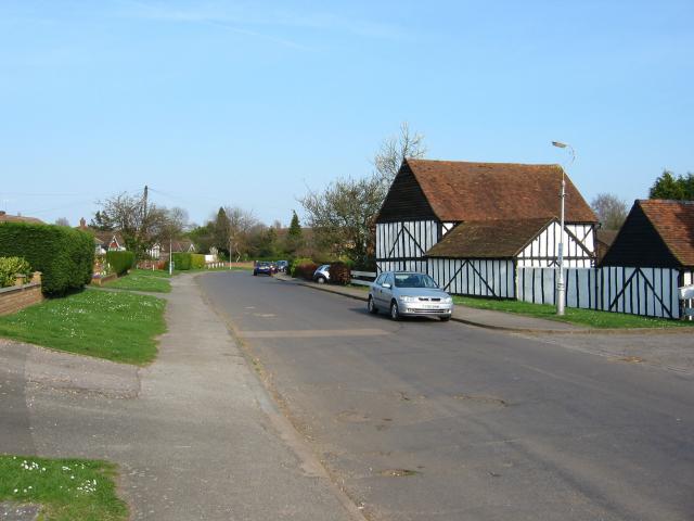
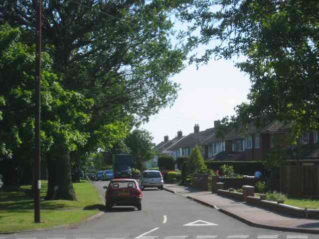
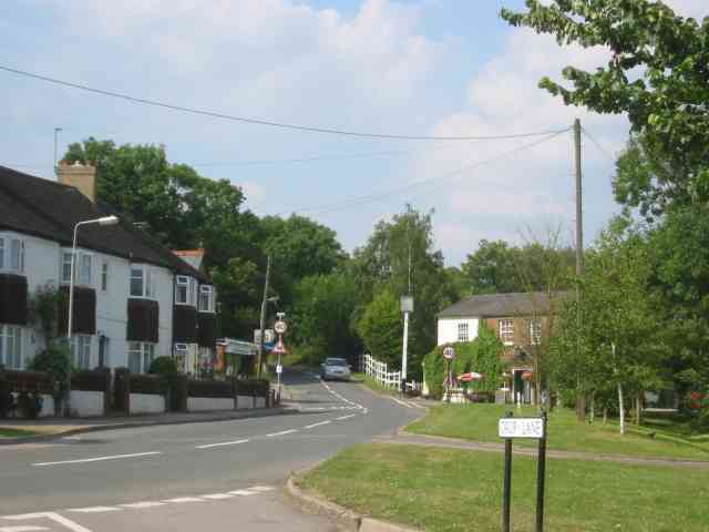
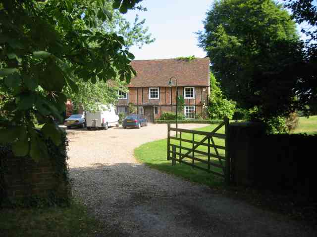
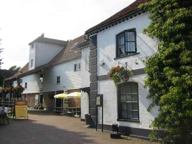
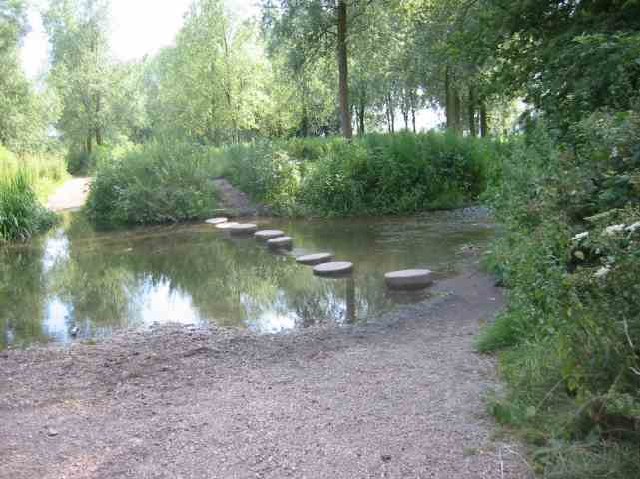
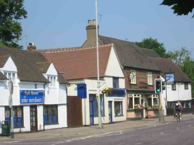
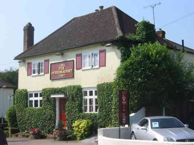
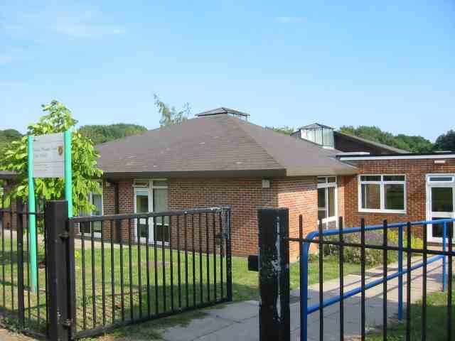
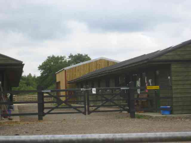
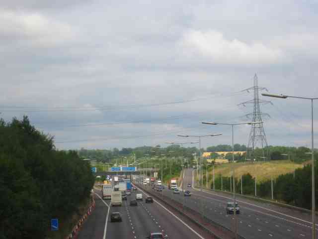
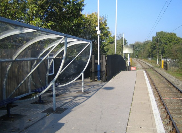
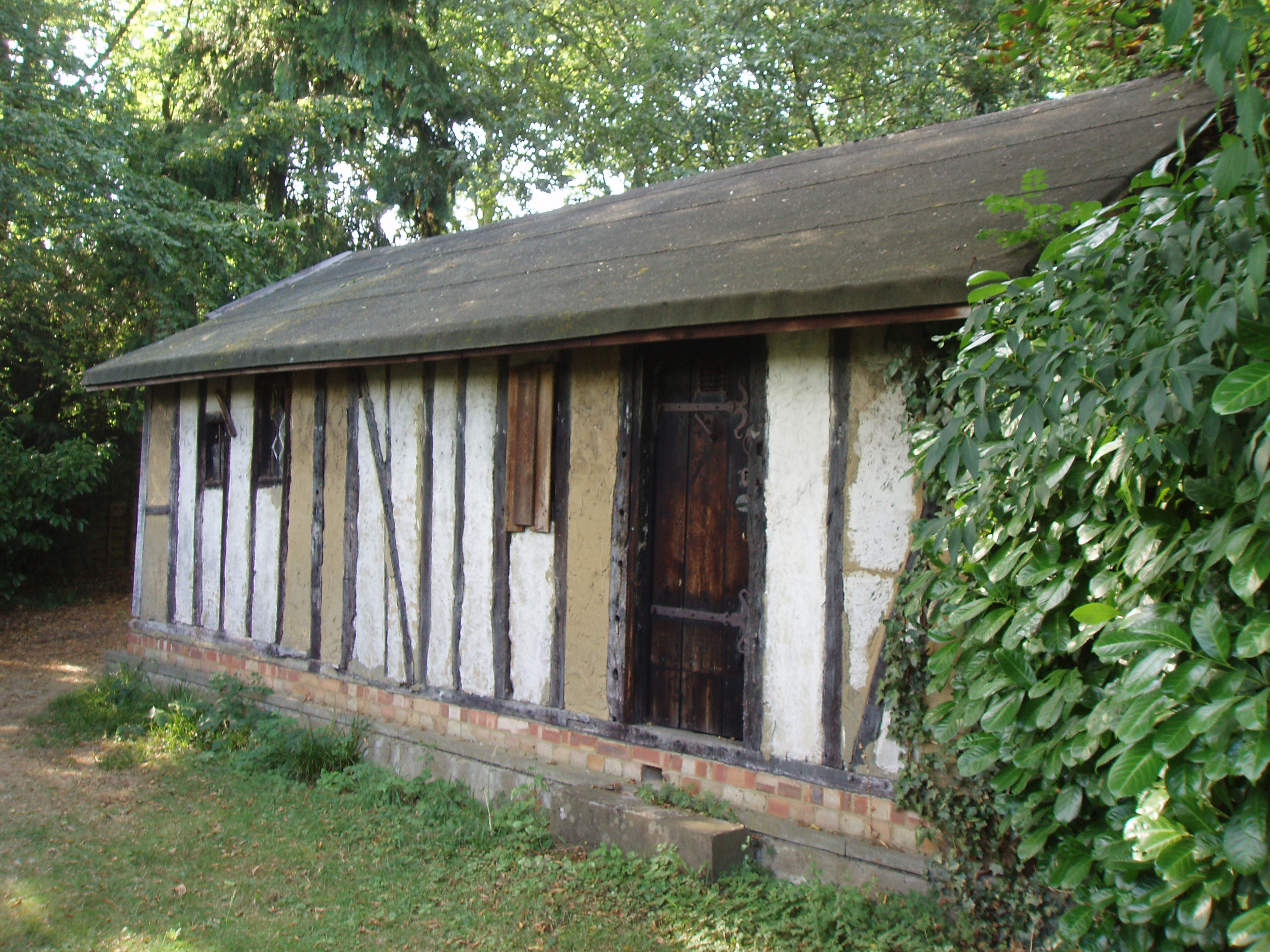
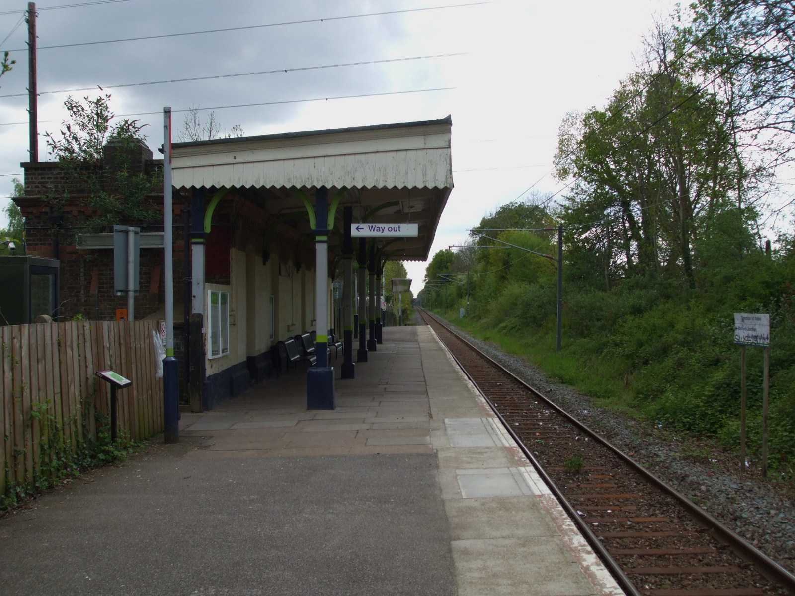
The Spinney Images

Images are sourced within 2km of 51.715255/-0.35723935 or Grid Reference TL1303. Thanks to Geograph Open Source API. All images are credited.

Gateway to suburbia On the Western edge of Chiswell Green, having just left the farmland behind, looking East from TL131045.
Gateway to suburbia
On the Western edge of Chiswell Green, having just left the farmland behind, looking East from TL131045.
M25 junction 21 This four-level stack junction dominates TL1103.
M25 junction 21
This four-level stack junction dominates TL1103.
A road in Chiswell Green The forest trees at least show that it has some attraction
A road in Chiswell Green
The forest trees at least show that it has some attraction
Footbridge at Ver Walk Drop Lane The walk follows the River Ver northwards from this bridge. The boards are to prevent horses slipping and trapping their legs.
Footbridge at Ver Walk Drop Lane
The walk follows the River Ver northwards from this bridge. The boards are to prevent horses slipping and trapping their legs.
Walk by the River Ver in Drop Lane. For almost its whole length the walk is well shaded
by mature trees.
Walk by the River Ver in Drop Lane.
For almost its whole length the walk is well shaded by mature trees.
Tollgate Pub at Smug Oak The road sign Drop Lane leads back to a large house and eventually the Ver walk.
Tollgate Pub at Smug Oak
The road sign Drop Lane leads back to a large house and eventually the Ver walk.
The Hansteads in Drop Lane Smug Oak.
Moor Mill Inn  Frogmore The Mill was converted into a pub and hotel and the gardens have several streams and a weir for atmosphere
Moor Mill Inn Frogmore
The Mill was converted into a pub and hotel and the gardens have several streams and a weir for atmosphere
Stepping stones across the River Ver  Drop Lane. The environment agency and others won't allow replacement of the missing stones. {Might cause a blockage of twigs } so walkers have to wade. OK for horse riders
Stepping stones across the River Ver Drop Lane.
The environment agency and others won't allow replacement of the missing stones. {Might cause a blockage of twigs } so walkers have to wade. OK for horse riders
The Falcon Pub in Park Street, Herts This pub is at the centre of the village
The Falcon Pub in Park Street, Herts
This pub is at the centre of the village
The Overdraught Pub,  Park Street, Herts Is that a pun or is that a howler?
The Overdraught Pub, Park Street, Herts
Is that a pun or is that a howler?
Junior School  Bricket Wood Herts Gates were unlocked. Usually they are locked and  there are signs saying keep out
Junior School Bricket Wood Herts
Gates were unlocked. Usually they are locked and there are signs saying keep out
Smug Oak Stables
Smug Oak Stables
Holy Trinity Church Frogmore Not sure I agree with the sentiment expressed
Holy Trinity Church Frogmore
Not sure I agree with the sentiment expressed
Holy Trinity Church Frogmore I rather like the round top to the porch. It echoes the Romanesque arches over the windows.
Holy Trinity Church Frogmore
I rather like the round top to the porch. It echoes the Romanesque arches over the windows.
Shelter at How Wood Station The station has no ticket machine as the fares are collected by a travelling conductor on the "flyer"
No signals are needed as there is only one train
plying to and fro.
Shelter at How Wood Station
The station has no ticket machine as the fares are collected by a travelling conductor on the "flyer" No signals are needed as there is only one train plying to and fro.
Entrance to Tenterden House off Lye Lane This is a nursing home but I wonder how the patients cope with the continuous roar of traffic from the M25
Entrance to Tenterden House off Lye Lane
This is a nursing home but I wonder how the patients cope with the continuous roar of traffic from the M25
The M25 taken from Lye Lane bridge  Smug Oak The Tenterden nursing home is just over on the right of the picture. The brown grass area was to have been a golf course but things went wrong.
The M25 taken from Lye Lane bridge Smug Oak
The Tenterden nursing home is just over on the right of the picture. The brown grass area was to have been a golf course but things went wrong.
Show me another place!

The Spinney is located at Grid Ref: TL1303 (Lat: 51.715255, Lng: -0.35723935)

Administrative County: Hertfordshire

District: St. Albans

Police Authority: Hertfordshire

What 3 Words

///army.modes.cubes. Near Radlett, Hertfordshire

Related Wikis

Spielplatz

Spielplatz (German for playground) is the longest-operating naturist resort in United Kingdom, and consists of 12 acres (4.9 ha) located in the village...

Moor Mill Quarry, West

Moor Mill Quarry, West is a 0.16-hectare (0.40-acre) geological Site of Special Scientific Interest in How Wood in Hertfordshire. The local planning authority...

How Wood

How Wood is a residential village, south of Park Street village between the centres of Watford and St Albans in St Stephen civil parish, Hertfordshire...

How Wood railway station

How Wood railway station is in the village of How Wood, Hertfordshire, England. It is the fourth station on the Abbey Line, 4+1⁄2 miles (7.2 km) from Watford...

Bricket Wood coven

The Bricket Wood coven, or Hertfordshire coven is a coven of Gardnerian witches founded in the 1940s by Gerald Gardner. It is notable for being the first...

Bricket Wood railway station

Bricket Wood railway station is in the village of Bricket Wood, Hertfordshire, England, on the Abbey Line 31⁄4 miles (5 km) east of Watford Junction. The...

Bricket Wood

Bricket Wood is a village in the county of Hertfordshire, England, 4.2 miles (6.8 km) south of St Albans city centre (though in said city's contiguous...

Abbey Line

The Abbey Line, also called the St Albans Abbey branch line, is a railway line from Watford Junction to St Albans Abbey. The 6.5-mile (10.5 km) route passes...

Nearby Amenities

Located within 500m of 51.715255,-0.35723935
Bus Stop
Birchwood Way
Bus: yes
Naptan AtcoCode: 210021504200
Naptan Bearing: S
Naptan CommonName: Birchwood Way
Naptan Crossing: Whitebeams
Naptan Indicator: opp
Naptan Landmark: Whitebeams
Naptan NaptanCode: hrtawmpw
Naptan PlusbusZoneRef: RADLETT;STALBCY
Naptan ShortCommonName: NA
Naptan Street: How Wood
Naptan Verified: no
Public Transport: platform
Source: naptan_import
Lat/Long: 51.7178237/-0.3519502
Bus Stop
Park Street Lane
Bench: yes
Bin: yes
Bus: yes
Naptan AtcoCode: 210021504220
Naptan Bearing: SE
Naptan CommonName: Park Street Lane
Naptan Crossing: Park Street Lane
Naptan Indicator: S-bound
Naptan Landmark: Park Street Lane
Naptan NaptanCode: hrtawmta
Naptan PlusbusZoneRef: RADLETT;STALBCY
Naptan ShortCommonName: NA
Naptan Street: How Wood
Naptan Verified: no
Public Transport: platform
Shelter: yes
Source: naptan_import
Lat/Long: 51.7151446/-0.350512
Bus Stop
Maplefield
Bench: no
Bin: no
Lit: yes
Local Ref: NR
Naptan AtcoCode: 210021504280
Naptan Bearing: SW
Naptan CommonName: Maplefield
Naptan Crossing: opp Black Green Wood Close
Naptan Indicator: nr
Naptan Landmark: opp Black Green Wood Close
Naptan NaptanCode: hrtawmtj
Naptan PlusbusZoneRef: RADLETT;STALBCY
Naptan ShortCommonName: NA
Naptan Street: Park Street Lane
Naptan Verified: no
Public Transport: platform
Shelter: no
Source: naptan_import
Lat/Long: 51.7126375/-0.3530653
Bus Stop
Maplefield
Bench: no
Naptan AtcoCode: 210021507460
Naptan Bearing: NE
Naptan CommonName: Maplefield
Naptan Crossing: Hazel Road
Naptan Indicator: opp
Naptan Landmark: Hazel Road
Naptan NaptanCode: hrtawamg
Naptan PlusbusZoneRef: RADLETT;STALBCY
Naptan ShortCommonName: NA
Naptan Street: Park Street Lane
Naptan Verified: no
Public Transport: platform
Shelter: no
Source: naptan_import
Lat/Long: 51.7132531/-0.3527542
Bus Stop
Wych Elms
Bench: no
Bin: no
Bus: yes
Local Ref: NR
Naptan AtcoCode: 210021507480
Naptan Bearing: NE
Naptan CommonName: Wych Elms
Naptan Crossing: How Wood
Naptan Indicator: nr
Naptan Landmark: How Wood
Naptan NaptanCode: hrtawamj
Naptan PlusbusZoneRef: RADLETT;STALBCY
Naptan ShortCommonName: NA
Naptan Street: Park Street Lane
Naptan Verified: no
Public Transport: platform
Shelter: no
Source: naptan_import
Lat/Long: 51.7148337/-0.3509045
Bus Stop
Park Street Lane
Bench: no
Bin: no
Bus: yes
Lit: yes
Naptan AtcoCode: 210021507520
Naptan Bearing: NW
Naptan CommonName: Park Street Lane
Naptan Crossing: Park Street Lane
Naptan Indicator: N-bound
Naptan Landmark: Park Street Lane
Naptan NaptanCode: hrtawamp
Naptan PlusbusZoneRef: RADLETT;STALBCY
Naptan ShortCommonName: NA
Naptan Street: How Wood
Naptan Verified: no
Public Transport: platform
Shelter: no
Source: naptan_import
Lat/Long: 51.7152328/-0.3506957
Bus Stop
Birchwood Way
Bus: yes
Local Ref: NR
Naptan AtcoCode: 210021507540
Naptan Bearing: N
Naptan CommonName: Birchwood Way
Naptan Crossing: opp Whitebeams
Naptan Indicator: nr
Naptan Landmark: opp Whitebeams
Naptan NaptanCode: hrtawamt
Naptan PlusbusZoneRef: RADLETT;STALBCY
Naptan ShortCommonName: NA
Naptan Street: How Wood
Naptan Verified: no
Public Transport: platform
Shelter: no
Source: naptan_import
Lat/Long: 51.7178914/-0.3520817
Post Box
Lat/Long: 51.7165022/-0.3612664
Post Box
Lat/Long: 51.7167771/-0.3519168
Toilets
Access: private
Lat/Long: 51.7170009/-0.3560191
Cafe
Access: private
Lat/Long: 51.7164972/-0.3560515
Man Made: water_tower
Lat/Long: 51.7171892/-0.3580269
Traffic Sign: variable_message
Variable Message Model: AMI
Lat/Long: 51.71236/-0.3627992
Traffic Sign: variable_message
Variable Message Model: MS3
Lat/Long: 51.7109277/-0.3578811
Camera Mount: pole
Camera Type: panning
Man Made: surveillance
Operator: National Highways
Operator Wikidata: Q5760006
Surveillance: outdoor
Surveillance Type: camera
Surveillance Zone: traffic
Lat/Long: 51.7107786/-0.3578858
Traffic Sign: variable_message
Variable Message Model: MS2
Lat/Long: 51.7111617/-0.357737
Traffic Sign: variable_message
Variable Message Model: AMI
Lat/Long: 51.7111277/-0.357758
Traffic Sign: variable_message
Variable Message Model: AMI
Lat/Long: 51.7110957/-0.3577777
Traffic Sign: variable_message
Variable Message Model: AMI
Lat/Long: 51.7110651/-0.3577965
Traffic Sign: variable_message
Variable Message Model: AMI
Lat/Long: 51.7110315/-0.3578172
Phone
Emergency: phone
Operator: National Highways
Operator Wikidata: Q5760006
Lat/Long: 51.7113436/-0.358386
Direction: 110
Generator Method: photovoltaic
Generator Output Electricity: yes
Generator Solar Modules: 16
Generator Source: solar
Generator Type: solar_photovoltaic_panel
Location: roof
Power: generator
Lat/Long: 51.7129955/-0.3533989
Direction: 225
Generator Method: photovoltaic
Generator Output Electricity: yes
Generator Solar Modules: 10
Generator Source: solar
Generator Type: solar_photovoltaic_panel
Location: roof
Power: generator
Lat/Long: 51.7155327/-0.3536609
Direction: 155
Generator Method: photovoltaic
Generator Output Electricity: yes
Generator Solar Modules: 12
Generator Source: solar
Generator Type: solar_photovoltaic_panel
Location: roof
Power: generator
Lat/Long: 51.7156919/-0.3525255
Direction: 220
Generator Method: photovoltaic
Generator Output Electricity: yes
Generator Solar Modules: 9
Generator Source: solar
Generator Type: solar_photovoltaic_panel
Location: roof
Power: generator
Lat/Long: 51.7129641/-0.3519239
Direction: 220
Generator Method: photovoltaic
Generator Output Electricity: yes
Generator Solar Modules: 12
Generator Source: solar
Generator Type: solar_photovoltaic_panel
Location: roof
Power: generator
Lat/Long: 51.712453/-0.3516904
Direction: 220
Generator Method: photovoltaic
Generator Output Electricity: yes
Generator Solar Modules: 12
Generator Source: solar
Generator Type: solar_photovoltaic_panel
Location: roof
Power: generator
Lat/Long: 51.7124917/-0.351765
Direction: 260
Generator Method: photovoltaic
Generator Output Electricity: yes
Generator Solar Modules: 6
Generator Source: solar
Generator Type: solar_photovoltaic_panel
Location: roof
Power: generator
Lat/Long: 51.7176378/-0.3516756
Direction: 260
Generator Method: photovoltaic
Generator Output Electricity: yes
Generator Solar Modules: 9
Generator Source: solar
Generator Type: solar_photovoltaic_panel
Location: roof
Power: generator
Lat/Long: 51.7175455/-0.3516454
Direction: 170
Generator Method: photovoltaic
Generator Output Electricity: yes
Generator Solar Modules: 3
Generator Source: solar
Generator Type: solar_photovoltaic_panel
Location: roof
Power: generator
Lat/Long: 51.7175394/-0.3515713
Direction: 240
Generator Method: photovoltaic
Generator Output Electricity: yes
Generator Solar Modules: 11
Generator Source: solar
Generator Type: solar_photovoltaic_panel
Location: roof
Power: generator
Lat/Long: 51.7163029/-0.3517569
Direction: 180
Generator Method: photovoltaic
Generator Output Electricity: yes
Generator Solar Modules: 15
Generator Source: solar
Generator Type: solar_photovoltaic_panel
Location: roof
Power: generator
Lat/Long: 51.7163192/-0.3529732
Direction: 165
Generator Method: photovoltaic
Generator Output Electricity: yes
Generator Solar Modules: 6
Generator Source: solar
Generator Type: solar_photovoltaic_panel
Location: roof
Power: generator
Lat/Long: 51.7172966/-0.3532129
Direction: 255
Generator Method: photovoltaic
Generator Output Electricity: yes
Generator Solar Modules: 7
Generator Source: solar
Generator Type: solar_photovoltaic_panel
Location: roof
Power: generator
Lat/Long: 51.7172505/-0.3532687
Direction: 75
Generator Method: photovoltaic
Generator Output Electricity: yes
Generator Solar Modules: 12
Generator Source: solar
Generator Type: solar_photovoltaic_panel
Location: roof
Power: generator
Lat/Long: 51.7172542/-0.3532386
Street Lamp
Lat/Long: 51.7127081/-0.3629662
Street Lamp
Lat/Long: 51.71252/-0.3624198
Street Lamp
Lat/Long: 51.7123413/-0.3618372
Street Lamp
Lat/Long: 51.7121236/-0.3612663
Street Lamp
Lat/Long: 51.7119456/-0.3606429
Street Lamp
Lat/Long: 51.71178/-0.3599762
Street Lamp
Lat/Long: 51.7116006/-0.3593598
Street Lamp
Lat/Long: 51.7114371/-0.3587095
Street Lamp
Lat/Long: 51.7119579/-0.3621402
Street Lamp
Lat/Long: 51.7117728/-0.3615625
Street Lamp
Lat/Long: 51.7112663/-0.3580247
Street Lamp
Lat/Long: 51.7111287/-0.3574248
Street Lamp
Lat/Long: 51.71099/-0.3567913
Street Lamp
Lat/Long: 51.7108382/-0.3561657
Street Lamp
Lat/Long: 51.7116009/-0.3609232
Street Lamp
Lat/Long: 51.7114091/-0.3603131
Street Lamp
Lat/Long: 51.7112105/-0.3596599
Street Lamp
Lat/Long: 51.7110397/-0.3589374
Street Lamp
Lat/Long: 51.7108774/-0.3582842
The Nook
Place: plot
Lat/Long: 51.7144741/-0.356572
Entrance: main
Lat/Long: 51.7154179/-0.3560985
The data included in this document is from www.openstreetmap.org. The data is made available under ODbL.

Have you been to The Spinney?

Leave your review of The Spinney below (or comments, questions and feedback).