Oatash Row Copse
Wood, Forest in Sussex Horsham
England
Oatash Row Copse

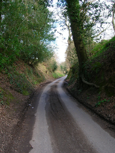
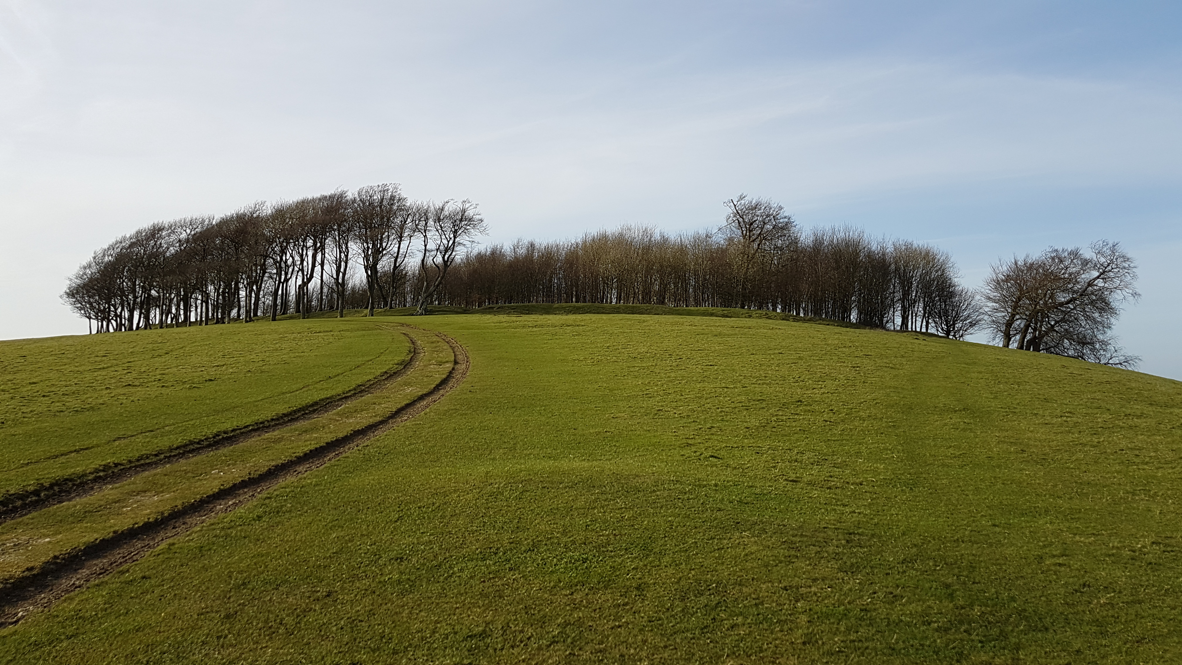
Oatash Row Copse is a picturesque woodland located in the county of Sussex, England. Covering an area of approximately 50 acres, this serene forest is a haven for nature lovers and outdoor enthusiasts. The copse is situated in close proximity to the village of Oatash, from which it derives its name.
The woodland is predominantly composed of native broad-leaved trees, such as oak, ash, and beech, which create a dense and diverse canopy. These trees provide a habitat for a wide variety of wildlife, including birds, mammals, and insects. The copse is particularly known for its thriving population of woodland birds, such as woodpeckers, nightingales, and buzzards, which can be spotted and heard throughout the year.
The forest floor of Oatash Row Copse is a carpet of lush greenery, adorned with a plethora of wildflowers and ferns. This rich undergrowth provides a habitat for numerous small mammals, including rabbits, squirrels, and voles. Additionally, the copse is home to several species of reptiles, such as adders and slow worms, which can be seen basking in the sun during warmer months.
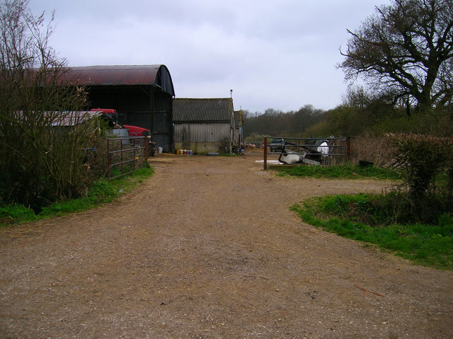
Oatash Row Copse offers a network of well-maintained footpaths, allowing visitors to explore its natural beauty at their leisure. The tranquil atmosphere and scenic surroundings make it an ideal location for walking, picnicking, and photography.
Overall, Oatash Row Copse in Sussex is a remarkable woodland that showcases the beauty and biodiversity of the English countryside. Its lush vegetation, diverse wildlife, and peaceful ambiance make it a cherished destination for nature enthusiasts and a valuable ecological treasure.
If you have any feedback on the listing, please let us know in the comments section below.
Oatash Row Copse Images
Images are sourced within 2km of 50.918261/-0.38351397 or Grid Reference TQ1314. Thanks to Geograph Open Source API. All images are credited.


Oatash Row Copse is located at Grid Ref: TQ1314 (Lat: 50.918261, Lng: -0.38351397)
Administrative County: West Sussex
District: Horsham
Police Authority: Sussex
What 3 Words
///merge.kite.hilltop. Near Ashington, West Sussex
Nearby Locations
Related Wikis

Wiston, West Sussex
Wiston is a scattered village and civil parish in the Horsham District of West Sussex, England. It lies on the A283 road 2.8 miles (4.5 km) northwest of...

Buncton
Buncton () is a small village in the Horsham District of West Sussex, England, part of the civil parish of Wiston 0.5 miles (0.80 km) north. It lies to...
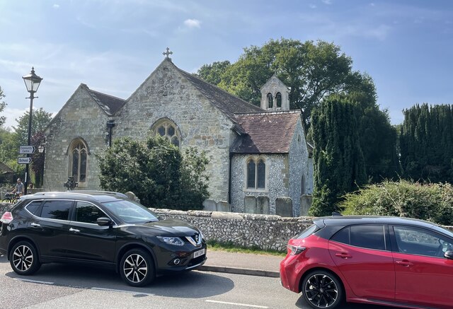
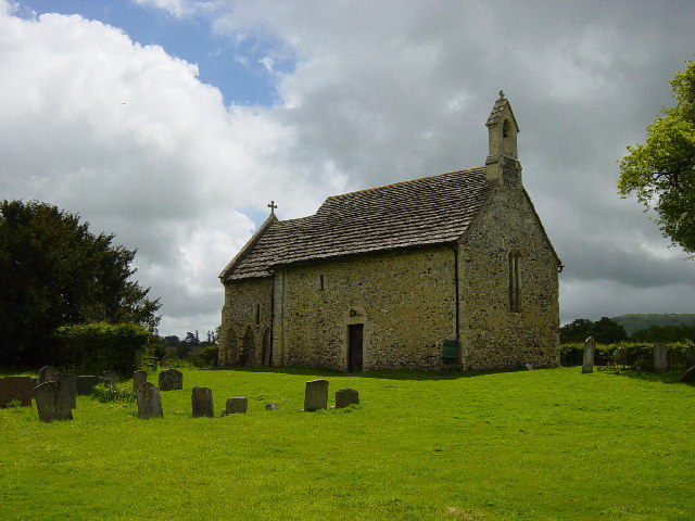
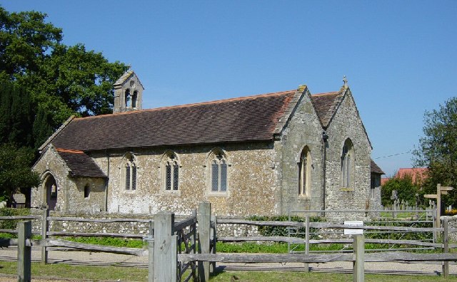
All Saints Church, Buncton
All Saints Church is an Anglican church in the hamlet of Buncton in the district of Horsham, one of seven local government districts in the English county...

Rock Mill, Washington
Rock Mill is a Grade II listed smock mill at Washington, West Sussex, England, which has been converted to residential use. == History == Rock Mill was...

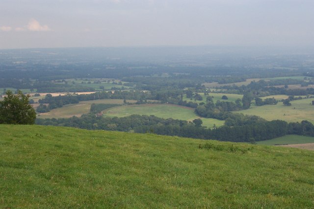
South Downs National Park
The South Downs National Park is England's newest national park, designated on 31 March 2010. The park, covering an area of 1,627 square kilometres (628...

Ashington, West Sussex
Ashington is a village and civil parish in the Horsham District of West Sussex, England. It lies on the A24 road 3 miles (4.8 km) north-east of Storrington...

Washington, West Sussex
Washington is a village and civil parish in the Horsham District of West Sussex, England. It is located five miles (eight kilometres) west of Steyning...
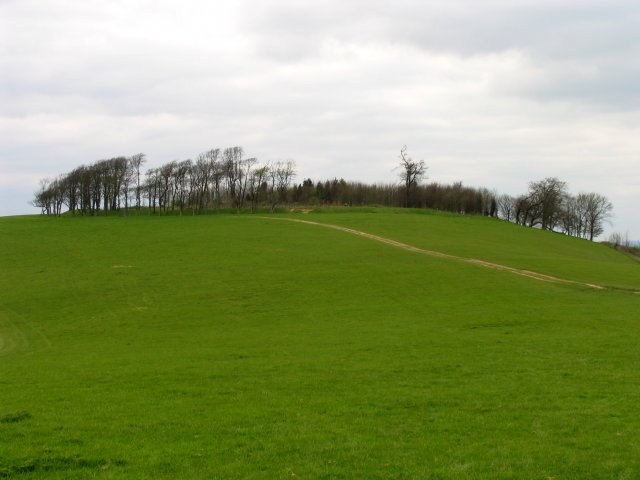
Chanctonbury Ring
Chanctonbury Ring is a prehistoric hill fort atop Chanctonbury Hill on the South Downs, on the border of the civil parishes of Washington and Wiston in...
Nearby Amenities
Located within 500m of 50.918261,-0.38351397Have you been to Oatash Row Copse?
Leave your review of Oatash Row Copse below (or comments, questions and feedback).