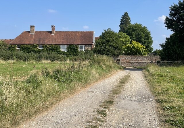
Bacon's Copse

Wood, Forest in Sussex Horsham

England

Bacon's Copse

Path Junction On bridleway number 2404 heading towards Thakeham with footpath number 2403 joining from the left.
Path Junction Credit: Chris Thomas-Atkin

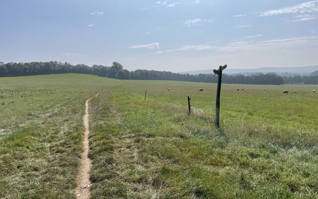
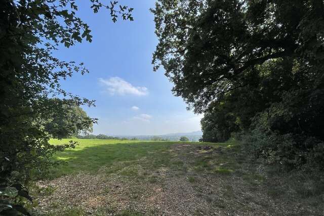
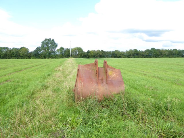
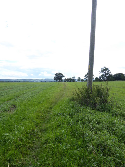
Bacon's Copse is a picturesque woodland located in West Sussex, England. Covering an area of approximately 20 acres, it is nestled in the heart of the South Downs National Park. The copse is renowned for its natural beauty and tranquil atmosphere, making it a popular destination for nature enthusiasts and hikers alike.

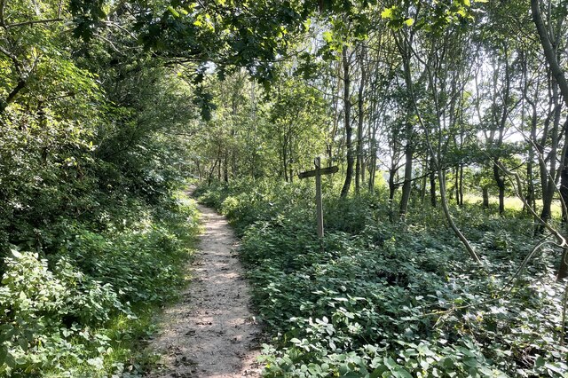
The woodland is predominantly composed of a mixture of broadleaf trees, including oak, beech, and ash, which create a dense canopy that provides shade and shelter to the diverse flora and fauna that call Bacon's Copse home. The forest floor is carpeted with a rich undergrowth of wildflowers, ferns, and mosses, adding to its enchanting appeal.

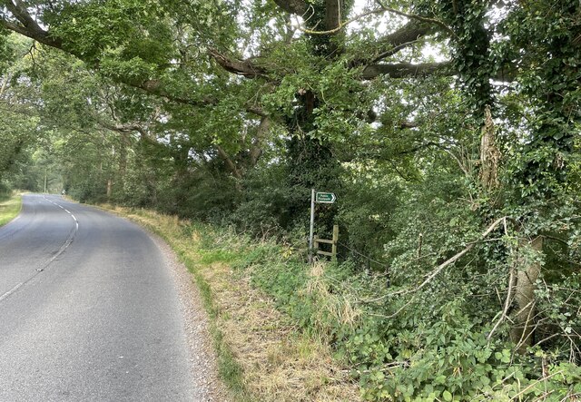
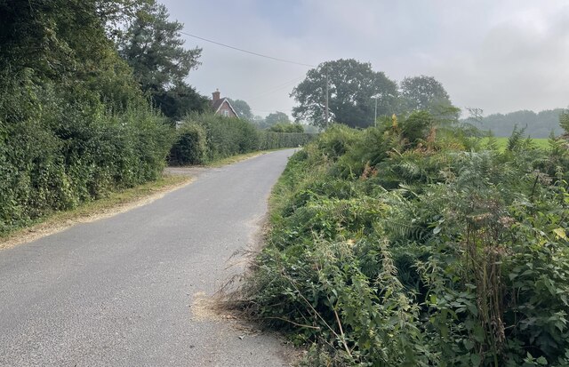
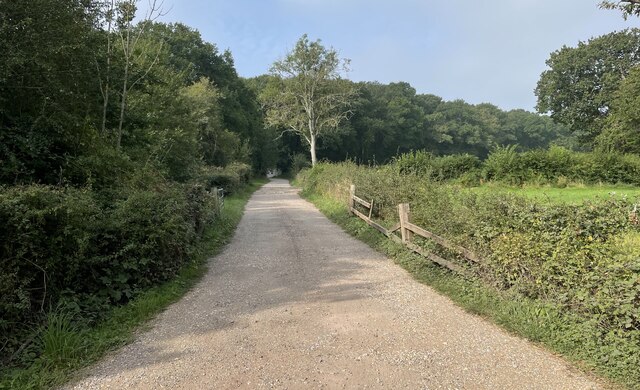
The copse is intersected by several footpaths and trails, allowing visitors to explore its hidden nooks and crannies. These paths wind through the dense foliage, revealing stunning vistas and offering glimpses of the local wildlife. It is not uncommon to spot deer, foxes, and a variety of bird species during a leisurely stroll through the woods.

Bacon's Copse is also steeped in history, with evidence of human activity dating back centuries. Ancient earthworks and charcoal pits can still be found within the woodland, serving as a reminder of its past importance as a resource for fuel and construction materials.

Whether one seeks solitude in nature, an opportunity to observe wildlife, or simply a peaceful retreat from the hustle and bustle of everyday life, Bacon's Copse in Sussex offers a serene and captivating experience for all who visit.

If you have any feedback on the listing, please let us know in the comments section below.

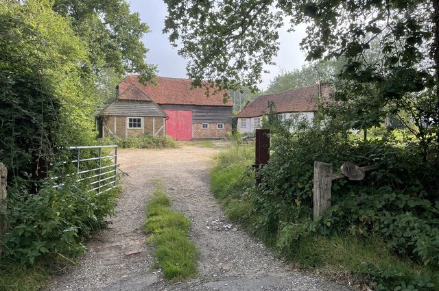
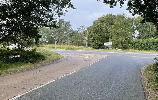
Bacon's Copse Images

Images are sourced within 2km of 50.951017/-0.40928574 or Grid Reference TQ1118. Thanks to Geograph Open Source API. All images are credited.

Path Junction On bridleway number 2404 heading towards Thakeham with footpath number 2403 joining from the left.
Path Junction
On bridleway number 2404 heading towards Thakeham with footpath number 2403 joining from the left.
Oast Cottage Viewed from the Billingshurst Road the cottage is a Grade II listed building. See <span class="nowrap"><a title="https://historicengland.org.uk/listing/the-list/list-entry/1182086" rel="nofollow ugc noopener" href="https://historicengland.org.uk/listing/the-list/list-entry/1182086">Link</a><img style="margin-left:2px;" alt="External link" title="External link - shift click to open in new window" src="https://s1.geograph.org.uk/img/external.png" width="10" height="10"/></span>
Oast Cottage
Viewed from the Billingshurst Road the cottage is a Grade II listed building. See LinkExternal link
Spear Hill The junction of Spear Hill with Billingshurst Road.
Spear Hill
The junction of Spear Hill with Billingshurst Road.
Public footpath Public footpath number 2364 leaving Billingshurst Road near Bennetts Farm.
Public footpath
Public footpath number 2364 leaving Billingshurst Road near Bennetts Farm.
Bridleway at Goose Green Bridleway number 2362 leaves Billingshurst Road at the junction with Goose Green Lane and Cray’s Lane.
Bridleway at Goose Green
Bridleway number 2362 leaves Billingshurst Road at the junction with Goose Green Lane and Cray’s Lane.
Peacocks Lane Peacocks Lane viewed from the junction with Goose Green Lane.
Peacocks Lane
Peacocks Lane viewed from the junction with Goose Green Lane.
Sir Robert’s Farm Viewed from Goose Green Lane.
Sir Robert’s Farm
Viewed from Goose Green Lane.
Coolham Road The junction of Goose Green Lane with Coolham Road.
Coolham Road
The junction of Goose Green Lane with Coolham Road.
Track to Great Danhill Wood The track viewed from Harbolets Road.
Track to Great Danhill Wood
The track viewed from Harbolets Road.
Path Junction Paths in woodland near Town House Farm.
Path Junction
Paths in woodland near Town House Farm.
The Parish Church of St Mary The church is a Grade I listed building. See <span class="nowrap"><a title="https://historicengland.org.uk/listing/the-list/list-entry/1354080" rel="nofollow ugc noopener" href="https://historicengland.org.uk/listing/the-list/list-entry/1354080">Link</a><img style="margin-left:2px;" alt="External link" title="External link - shift click to open in new window" src="https://s1.geograph.org.uk/img/external.png" width="10" height="10"/></span>
At the time the photo was taken building work to provide an extension was in progress.
The Parish Church of St Mary
The church is a Grade I listed building. See LinkExternal link At the time the photo was taken building work to provide an extension was in progress.
Thakeham Place Cottage The cottage at Thakeham Place viewed from the passing public footpath number 2481.
Thakeham Place Cottage
The cottage at Thakeham Place viewed from the passing public footpath number 2481.
Approaching Warminghurst On public footpath number 2481 heading eastwards.
Approaching Warminghurst
On public footpath number 2481 heading eastwards.
The Church of the Holy Sepulchre Viewed from Rectory Lane the church is a Grade I listed building. See <span class="nowrap"><a title="https://historicengland.org.uk/listing/the-list/list-entry/1027448" rel="nofollow ugc noopener" href="https://historicengland.org.uk/listing/the-list/list-entry/1027448">Link</a><img style="margin-left:2px;" alt="External link" title="External link - shift click to open in new window" src="https://s1.geograph.org.uk/img/external.png" width="10" height="10"/></span>
The church is no longer used for services and is under the care of the Churches Conservation Trust.
The Church of the Holy Sepulchre
Viewed from Rectory Lane the church is a Grade I listed building. See LinkExternal link The church is no longer used for services and is under the care of the Churches Conservation Trust.
View beside Rectory Lane Looking towards the South Downs at Warminghurst.
View beside Rectory Lane
Looking towards the South Downs at Warminghurst.
Path across field with pole and abandoned bucket from digger I wonder why that bucket has been left here.
Path across field with pole and abandoned bucket from digger
I wonder why that bucket has been left here.
Field path going south The South Downs are in the distance.
Field path going south
The South Downs are in the distance.
Looks as if this Jumbo cloud is coming in to land!
Show me another place!

Bacon's Copse is located at Grid Ref: TQ1118 (Lat: 50.951017, Lng: -0.40928574)

Administrative County: West Sussex

District: Horsham

Police Authority: Sussex

What 3 Words

///fetches.accordion.livid. Near Ashington, West Sussex

Related Wikis

Thakeham

Thakeham is a village and civil parish located north of the South Downs in the Horsham District of West Sussex, England. The village is situated approximately...

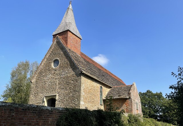
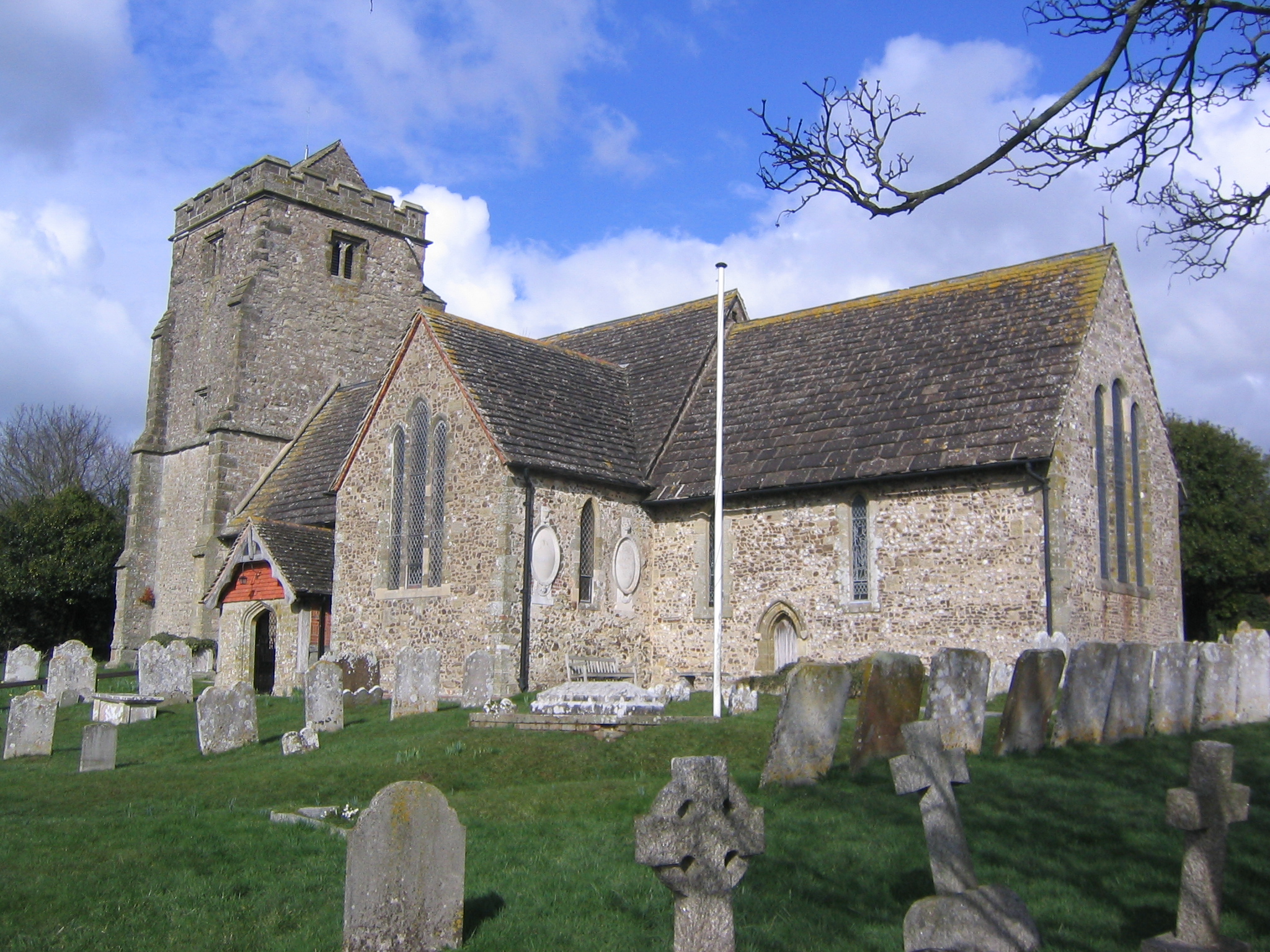
Church of the Holy Sepulchre, Warminghurst

The Church of the Holy Sepulchre is a former Anglican church in the hamlet of Warminghurst in the district of Horsham, one of seven local government districts...

Warminghurst

Warminghurst is a village and former civil parish, now in the parish of Thakeham, in the Horsham district of West Sussex, England. It lies on the Ashington...

Brightling Park

Brightling Park (previously known as Rose Hill) is a country estate which lies in the parishes of Brightling and Dallington in the Rother district of East...

Ashington, West Sussex

Ashington is a village and civil parish in the Horsham District of West Sussex, England. It lies on the A24 road 3 miles (4.8 km) north-east of Storrington...

Little Thakeham

Little Thakeham is an Arts and Crafts style, Grade I listed private house in the parish of Thakeham, near the village of Storrington, in the Horsham district...

West Chiltington

West Chiltington is a village and civil parish in the Horsham district of West Sussex, England. It lies on the Storrington to Broadford Bridge road, 2...

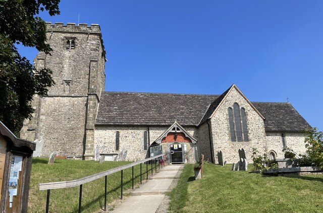
St Mary's Church, West Chiltington

St Mary's Church is the Grade I listed Anglican parish church of West Chiltington, a village in the Horsham district of West Sussex, England. The 12th...

Nearby Amenities

Located within 500m of 50.951017,-0.40928574
Post Box
Collection Times: Mo-Fr 16:00; Sa 11:30; Su off
Operator: Royal Mail
Post Box Type: lamp
Ref: RH20 84
Royal Cypher: EIIR
Royal Cypher Wikidata: Q33102113
Source: survey
Lat/Long: 50.952809/-0.4058395
Power: pole
Lat/Long: 50.9468642/-0.4068294
Power: pole
Lat/Long: 50.9477463/-0.4086882
Power: pole
Lat/Long: 50.9490255/-0.4113784
Power: pole
Lat/Long: 50.9496558/-0.4127115
Power: pole
Lat/Long: 50.9501002/-0.4142028
Power: pole
Lat/Long: 50.9505784/-0.4158068
Power: pole
Lat/Long: 50.9504939/-0.4157773
Power: pole
Lat/Long: 50.9500191/-0.4141814
Power: pole
Lat/Long: 50.9495967/-0.4128107
Power: pole
Lat/Long: 50.9489545/-0.4114509
Power: pole
Lat/Long: 50.9483344/-0.4101178
Power: pole
Lat/Long: 50.9477159/-0.4087579
Power: pole
Lat/Long: 50.947263/-0.4078379
Power: pole
Lat/Long: 50.9468202/-0.4069045
Goose Green
Place: hamlet
Lat/Long: 50.9546316/-0.4092657
Sir Robert's Farm
Place: farm
Lat/Long: 50.9542752/-0.4078888
Pulborough Angling Society
Leisure: fishing
Lat/Long: 50.9543219/-0.4128859
Addr Housename: Jupp's Hovel (ruin)
Lat/Long: 50.949134/-0.4046235
The data included in this document is from www.openstreetmap.org. The data is made available under ODbL.

Have you been to Bacon's Copse?

Leave your review of Bacon's Copse below (or comments, questions and feedback).