Laybrook Ponds

Lake, Pool, Pond, Freshwater Marsh in Sussex Horsham

England

Laybrook Ponds

Path Junction On bridleway number 2404 heading towards Thakeham with footpath number 2403 joining from the left.
Path Junction Credit: Chris Thomas-Atkin

Laybrook Ponds, located in Sussex, England, is a picturesque and diverse freshwater ecosystem that encompasses a range of aquatic habitats, including lakes, pools, ponds, and freshwater marshes. Covering an area of approximately 50 acres, the site is considered an important natural reserve due to its ecological significance and its ability to support a diverse array of plant and animal species.

The main feature of Laybrook Ponds is its interconnected system of water bodies, which offer a variety of habitats for different organisms. The largest water body is a lake, which is surrounded by dense vegetation and provides an ideal breeding ground for several species of water birds, including ducks, geese, and swans. Additionally, the lake serves as a haven for various fish species, such as carp and perch, attracting anglers and fishing enthusiasts.

Adjacent to the lake are several smaller pools and ponds, each with its own unique characteristics. These water bodies support a rich biodiversity, hosting a wide range of aquatic plants, invertebrates, and amphibians. The shallow pools provide an ideal environment for dragonflies and damselflies, while the deeper ponds offer a habitat for newts and frogs.

A notable feature of Laybrook Ponds is the presence of a freshwater marsh. This wetland area is characterized by the presence of emergent vegetation, such as reeds and sedges, and serves as a vital habitat for numerous bird species, including herons, bitterns, and warblers. The marsh not only provides nesting sites but also acts as a filter, purifying the water and improving its quality.

Laybrook Ponds is a popular destination for nature enthusiasts, birdwatchers, and photographers who seek to explore and appreciate the diverse range of flora and fauna that thrives within this unique freshwater ecosystem.

If you have any feedback on the listing, please let us know in the comments section below.

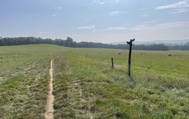
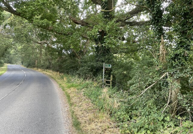
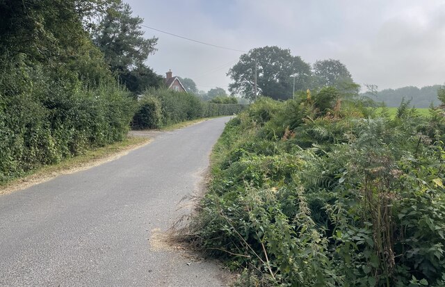
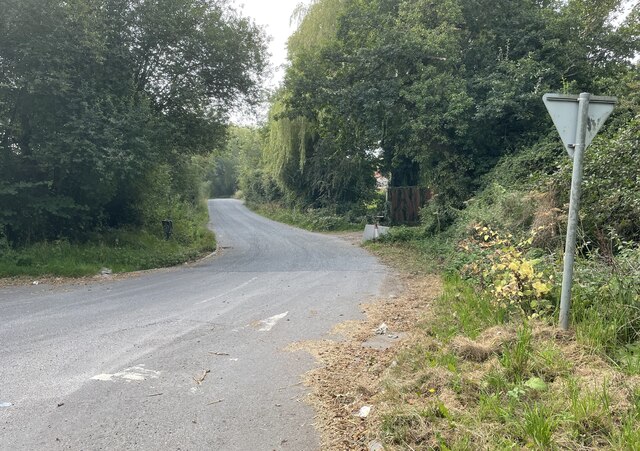
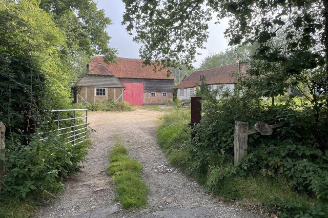
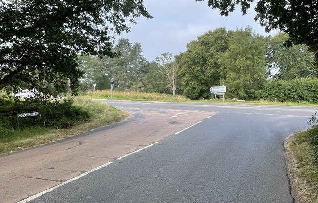
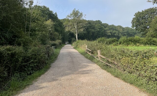
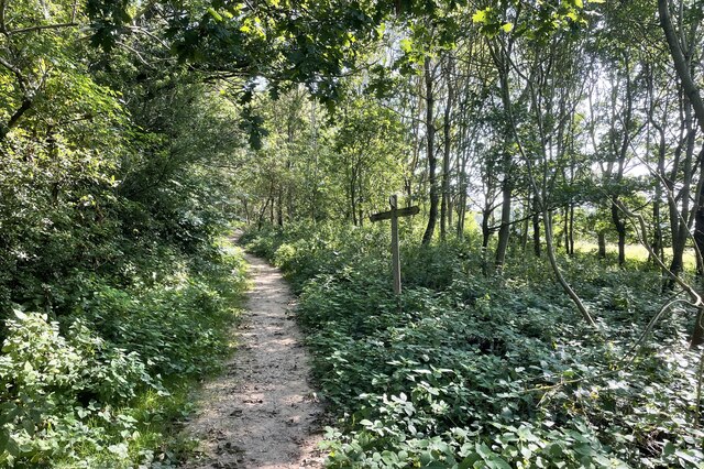
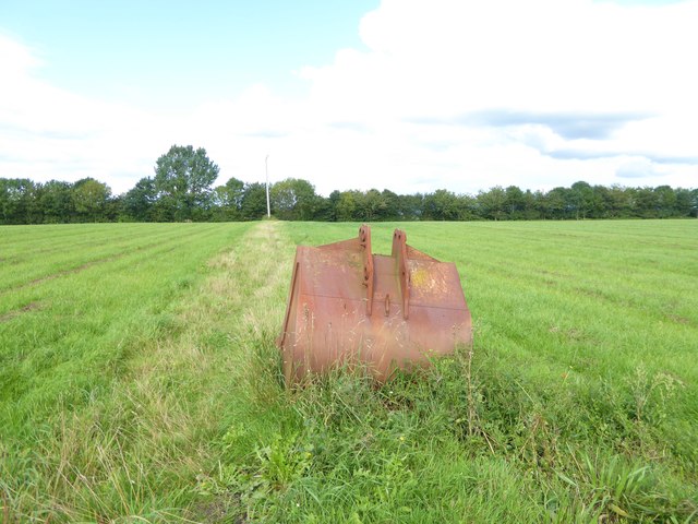
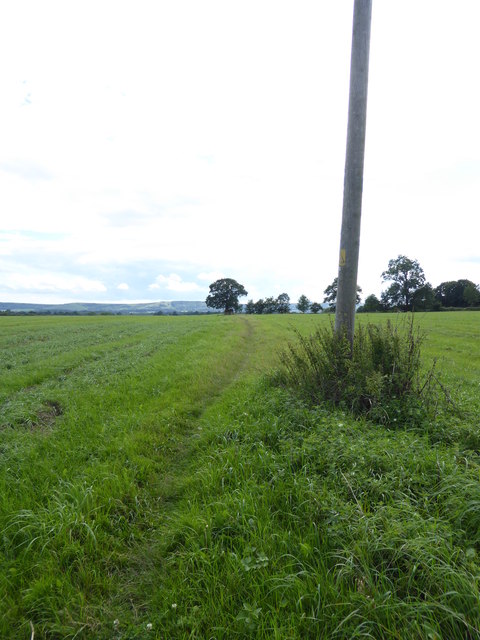
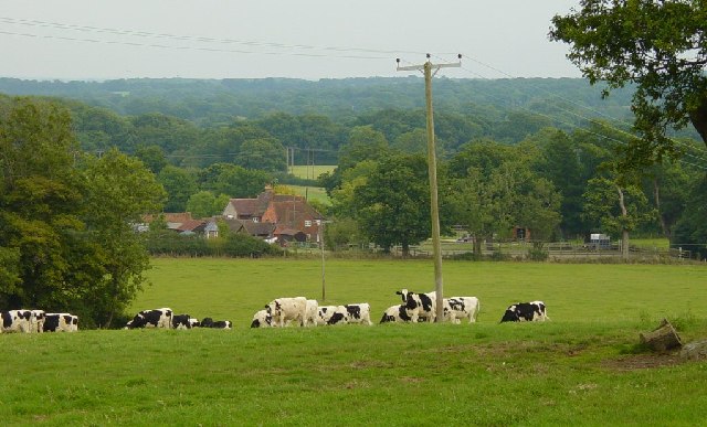
Laybrook Ponds Images

Images are sourced within 2km of 50.956601/-0.41185739 or Grid Reference TQ1118. Thanks to Geograph Open Source API. All images are credited.

Path Junction On bridleway number 2404 heading towards Thakeham with footpath number 2403 joining from the left.
Path Junction
On bridleway number 2404 heading towards Thakeham with footpath number 2403 joining from the left.
Public footpath Public footpath number 2364 leaving Billingshurst Road near Bennetts Farm.
Public footpath
Public footpath number 2364 leaving Billingshurst Road near Bennetts Farm.
Bridleway at Goose Green Bridleway number 2362 leaves Billingshurst Road at the junction with Goose Green Lane and Cray’s Lane.
Bridleway at Goose Green
Bridleway number 2362 leaves Billingshurst Road at the junction with Goose Green Lane and Cray’s Lane.
Peacocks Lane Peacocks Lane viewed from the junction with Goose Green Lane.
Peacocks Lane
Peacocks Lane viewed from the junction with Goose Green Lane.
Sir Robert’s Farm Viewed from Goose Green Lane.
Sir Robert’s Farm
Viewed from Goose Green Lane.
Coolham Road The junction of Goose Green Lane with Coolham Road.
Coolham Road
The junction of Goose Green Lane with Coolham Road.
Track to Great Danhill Wood The track viewed from Harbolets Road.
Track to Great Danhill Wood
The track viewed from Harbolets Road.
Path Junction Paths in woodland near Town House Farm.
Path Junction
Paths in woodland near Town House Farm.
The Parish Church of St Mary The church is a Grade I listed building. See <span class="nowrap"><a title="https://historicengland.org.uk/listing/the-list/list-entry/1354080" rel="nofollow ugc noopener" href="https://historicengland.org.uk/listing/the-list/list-entry/1354080">Link</a><img style="margin-left:2px;" alt="External link" title="External link - shift click to open in new window" src="https://s1.geograph.org.uk/img/external.png" width="10" height="10"/></span>
At the time the photo was taken building work to provide an extension was in progress.
The Parish Church of St Mary
The church is a Grade I listed building. See LinkExternal link At the time the photo was taken building work to provide an extension was in progress.
Thakeham Place Cottage The cottage at Thakeham Place viewed from the passing public footpath number 2481.
Thakeham Place Cottage
The cottage at Thakeham Place viewed from the passing public footpath number 2481.
Approaching Warminghurst On public footpath number 2481 heading eastwards.
Approaching Warminghurst
On public footpath number 2481 heading eastwards.
The Church of the Holy Sepulchre Viewed from Rectory Lane the church is a Grade I listed building. See <span class="nowrap"><a title="https://historicengland.org.uk/listing/the-list/list-entry/1027448" rel="nofollow ugc noopener" href="https://historicengland.org.uk/listing/the-list/list-entry/1027448">Link</a><img style="margin-left:2px;" alt="External link" title="External link - shift click to open in new window" src="https://s1.geograph.org.uk/img/external.png" width="10" height="10"/></span>
The church is no longer used for services and is under the care of the Churches Conservation Trust.
The Church of the Holy Sepulchre
Viewed from Rectory Lane the church is a Grade I listed building. See LinkExternal link The church is no longer used for services and is under the care of the Churches Conservation Trust.
View beside Rectory Lane Looking towards the South Downs at Warminghurst.
View beside Rectory Lane
Looking towards the South Downs at Warminghurst.
Path across field with pole and abandoned bucket from digger I wonder why that bucket has been left here.
Path across field with pole and abandoned bucket from digger
I wonder why that bucket has been left here.
Field path going south The South Downs are in the distance.
Field path going south
The South Downs are in the distance.
Looks as if this Jumbo cloud is coming in to land!
Mutilated arms Everything was OK in January 2010 - see <a title="https://www.geograph.org.uk/photo/1671465" href="https://www.geograph.org.uk/photo/1671465">Link</a>.
Mutilated arms
Everything was OK in January 2010 - see Link.
Crays  Farm Looking east.
Crays Farm
Looking east.
Show me another place!

Laybrook Ponds is located at Grid Ref: TQ1118 (Lat: 50.956601, Lng: -0.41185739)

Administrative County: West Sussex

District: Horsham

Police Authority: Sussex

What 3 Words

///worldwide.youngest.clasps. Near Ashington, West Sussex

Related Wikis

Brightling Park

Brightling Park (previously known as Rose Hill) is a country estate which lies in the parishes of Brightling and Dallington in the Rother district of East...

Thakeham

Thakeham is a village and civil parish located north of the South Downs in the Horsham District of West Sussex, England. The village is situated approximately...

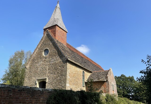
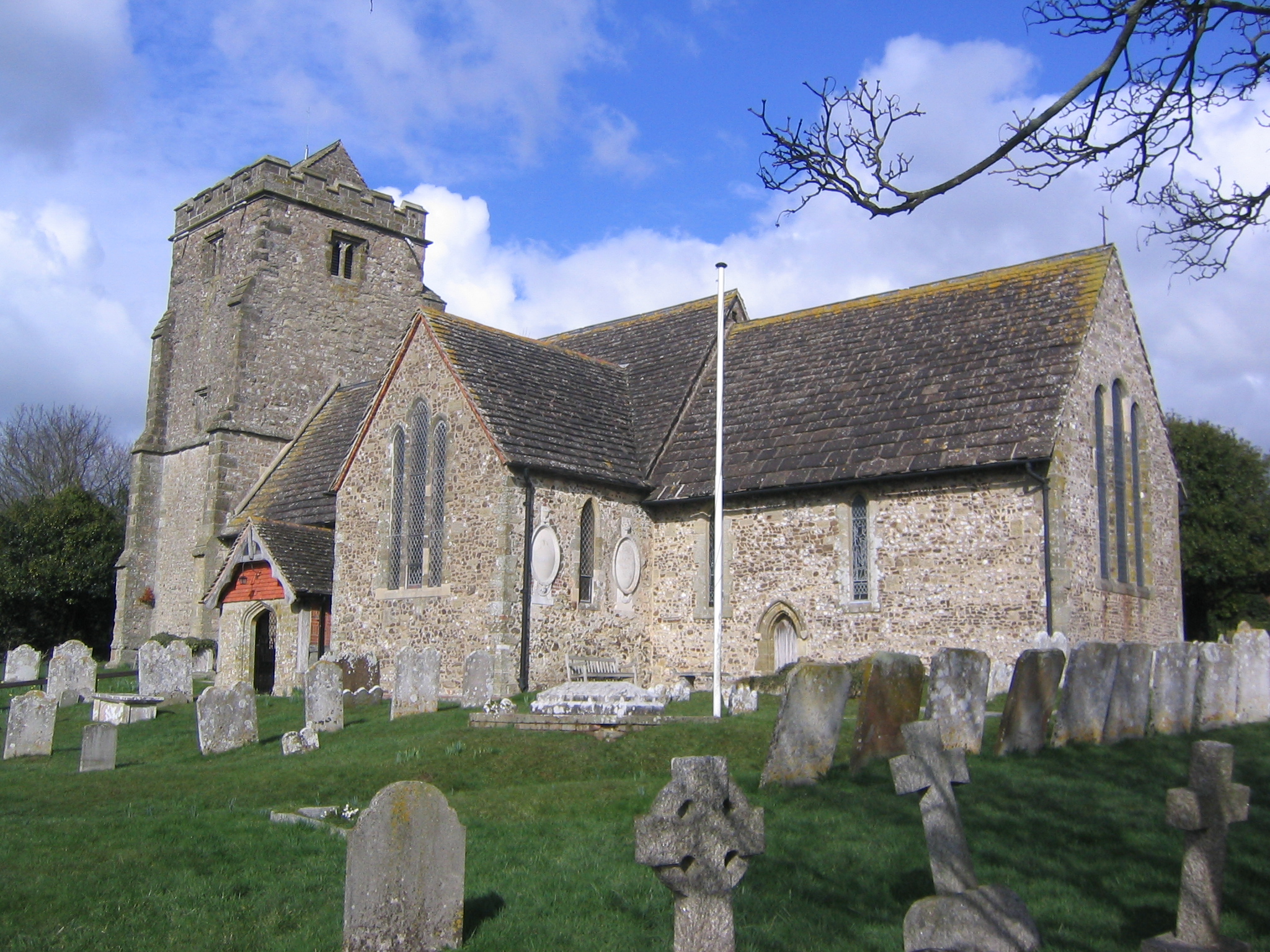
Church of the Holy Sepulchre, Warminghurst

The Church of the Holy Sepulchre is a former Anglican church in the hamlet of Warminghurst in the district of Horsham, one of seven local government districts...

Warminghurst

Warminghurst is a village and former civil parish, now in the parish of Thakeham, in the Horsham district of West Sussex, England. It lies on the Ashington...

West Chiltington

West Chiltington is a village and civil parish in the Horsham district of West Sussex, England. It lies on the Storrington to Broadford Bridge road, 2...

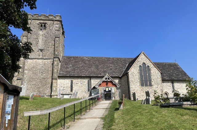
St Mary's Church, West Chiltington

St Mary's Church is the Grade I listed Anglican parish church of West Chiltington, a village in the Horsham district of West Sussex, England. The 12th...

Geoffrey Woolley

Geoffrey Harold Woolley, (14 May 1892 – 10 December 1968) was a British Army infantry officer, Church of England priest, and Second World War military...

Henry Bowreman Foote

Major General Henry Robert Bowreman Foote, (5 December 1904 – 11 November 1993) was a British Army officer and a recipient of the Victoria Cross, the...

Nearby Amenities

Located within 500m of 50.956601,-0.41185739
Goose Green
Place: hamlet
Lat/Long: 50.9546316/-0.4092657
Sir Robert's Farm
Place: farm
Lat/Long: 50.9542752/-0.4078888
Pulborough Angling Society
Leisure: fishing
Lat/Long: 50.9543219/-0.4128859
The data included in this document is from www.openstreetmap.org. The data is made available under ODbL.

Have you been to Laybrook Ponds?

Leave your review of Laybrook Ponds below (or comments, questions and feedback).