Goose Green

Settlement in Sussex Horsham

England

Goose Green

Spear Hill The junction of Spear Hill with Billingshurst Road.
Spear Hill Credit: Chris Thomas-Atkin

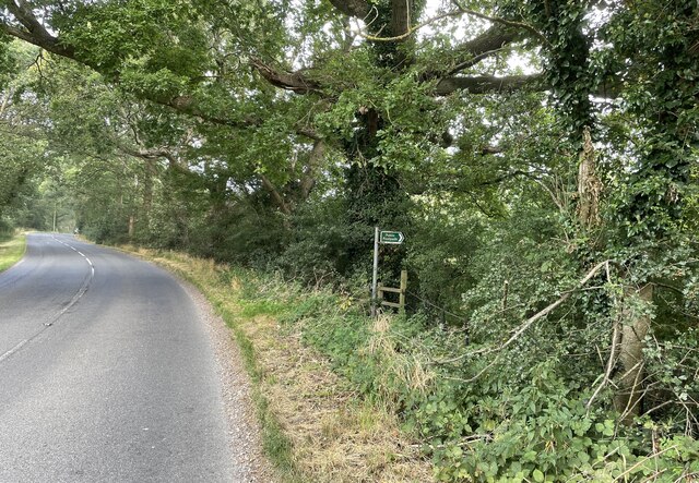
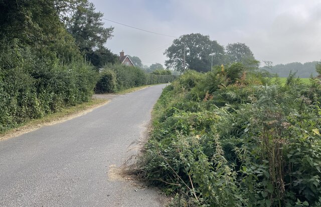
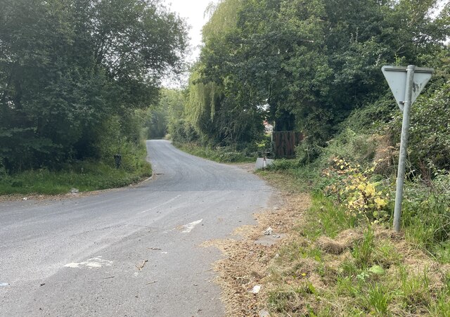
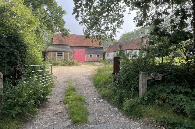
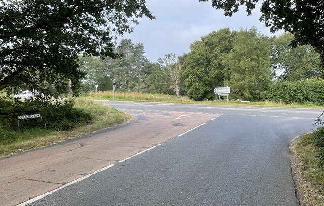
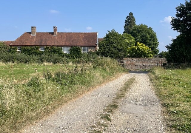
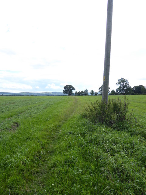
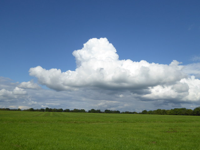
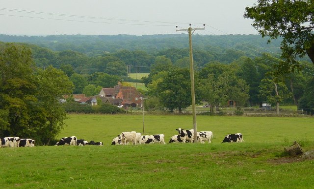
Goose Green is a picturesque village located in the county of Sussex, England. Situated on the outskirts of the larger town of East Grinstead, Goose Green is known for its idyllic rural setting and charming character. The village is surrounded by rolling countryside, lush green fields, and a scattering of traditional English cottages, giving it a quintessential English village feel.

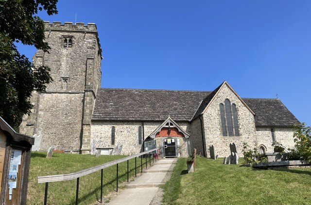
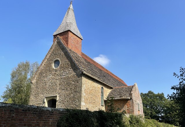
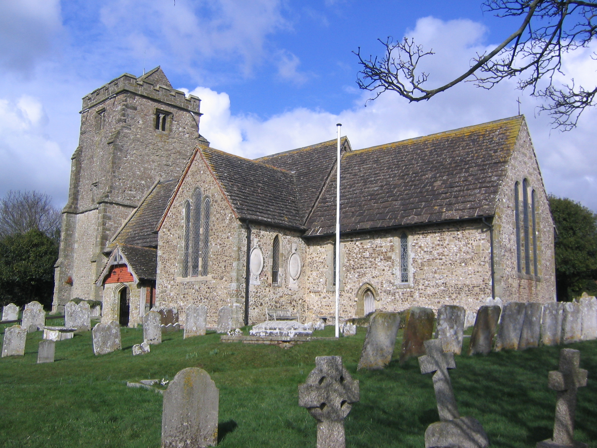
Despite its small size, Goose Green has a strong sense of community and a rich history. The village dates back centuries, with evidence of human habitation in the area dating back to Roman times. The local church, St. Mary's, is a prominent landmark and a testament to the village's historical significance.

In terms of amenities, Goose Green has a few essential facilities to cater to its residents. There is a village hall used for community events and gatherings, and a local pub which serves as a social hub for both locals and visitors. The pub often hosts live music events and offers a selection of traditional British pub food.

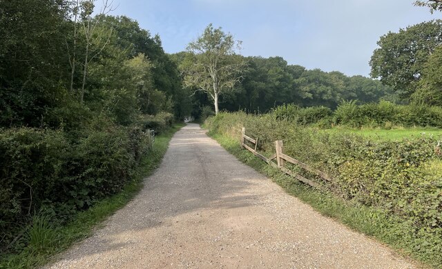
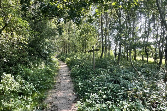
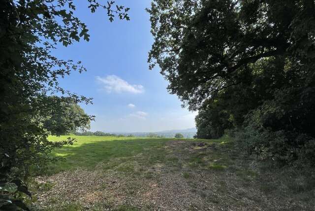
Nature enthusiasts will find plenty to explore in and around Goose Green. The village is surrounded by beautiful countryside, including several walking and cycling trails that offer stunning views of the Sussex landscape. Additionally, the nearby Ashdown Forest, a designated Area of Outstanding Natural Beauty, is a popular spot for outdoor activities such as horse riding and birdwatching.

Overall, Goose Green is a charming village that offers a peaceful retreat from the hustle and bustle of nearby towns. Its picturesque surroundings, strong community spirit, and rich history make it an appealing destination for both residents and visitors alike.

If you have any feedback on the listing, please let us know in the comments section below.

Goose Green Images

Images are sourced within 2km of 50.954748/-0.408633 or Grid Reference TQ1118. Thanks to Geograph Open Source API. All images are credited.

Spear Hill The junction of Spear Hill with Billingshurst Road.
Spear Hill
The junction of Spear Hill with Billingshurst Road.
Public footpath Public footpath number 2364 leaving Billingshurst Road near Bennetts Farm.
Public footpath
Public footpath number 2364 leaving Billingshurst Road near Bennetts Farm.
Bridleway at Goose Green Bridleway number 2362 leaves Billingshurst Road at the junction with Goose Green Lane and Cray’s Lane.
Bridleway at Goose Green
Bridleway number 2362 leaves Billingshurst Road at the junction with Goose Green Lane and Cray’s Lane.
Peacocks Lane Peacocks Lane viewed from the junction with Goose Green Lane.
Peacocks Lane
Peacocks Lane viewed from the junction with Goose Green Lane.
Sir Robert’s Farm Viewed from Goose Green Lane.
Sir Robert’s Farm
Viewed from Goose Green Lane.
Coolham Road The junction of Goose Green Lane with Coolham Road.
Coolham Road
The junction of Goose Green Lane with Coolham Road.
Track to Great Danhill Wood The track viewed from Harbolets Road.
Track to Great Danhill Wood
The track viewed from Harbolets Road.
Path Junction Paths in woodland near Town House Farm.
Path Junction
Paths in woodland near Town House Farm.
The Parish Church of St Mary The church is a Grade I listed building. See <span class="nowrap"><a title="https://historicengland.org.uk/listing/the-list/list-entry/1354080" rel="nofollow ugc noopener" href="https://historicengland.org.uk/listing/the-list/list-entry/1354080">Link</a><img style="margin-left:2px;" alt="External link" title="External link - shift click to open in new window" src="https://s1.geograph.org.uk/img/external.png" width="10" height="10"/></span>
At the time the photo was taken building work to provide an extension was in progress.
The Parish Church of St Mary
The church is a Grade I listed building. See LinkExternal link At the time the photo was taken building work to provide an extension was in progress.
Thakeham Place Cottage The cottage at Thakeham Place viewed from the passing public footpath number 2481.
Thakeham Place Cottage
The cottage at Thakeham Place viewed from the passing public footpath number 2481.
Approaching Warminghurst On public footpath number 2481 heading eastwards.
Approaching Warminghurst
On public footpath number 2481 heading eastwards.
The Church of the Holy Sepulchre Viewed from Rectory Lane the church is a Grade I listed building. See <span class="nowrap"><a title="https://historicengland.org.uk/listing/the-list/list-entry/1027448" rel="nofollow ugc noopener" href="https://historicengland.org.uk/listing/the-list/list-entry/1027448">Link</a><img style="margin-left:2px;" alt="External link" title="External link - shift click to open in new window" src="https://s1.geograph.org.uk/img/external.png" width="10" height="10"/></span>
The church is no longer used for services and is under the care of the Churches Conservation Trust.
The Church of the Holy Sepulchre
Viewed from Rectory Lane the church is a Grade I listed building. See LinkExternal link The church is no longer used for services and is under the care of the Churches Conservation Trust.
View beside Rectory Lane Looking towards the South Downs at Warminghurst.
View beside Rectory Lane
Looking towards the South Downs at Warminghurst.
Path across field with pole and abandoned bucket from digger I wonder why that bucket has been left here.
Path across field with pole and abandoned bucket from digger
I wonder why that bucket has been left here.
Field path going south The South Downs are in the distance.
Field path going south
The South Downs are in the distance.
Looks as if this Jumbo cloud is coming in to land!
Crays  Farm Looking east.
Crays Farm
Looking east.
The White Lion PH An inn of this name is recorded on this site as early as 1789
The White Lion PH
An inn of this name is recorded on this site as early as 1789
Show me another place!

Goose Green is located at Grid Ref: TQ1118 (Lat: 50.954748, Lng: -0.408633)

Administrative County: West Sussex

District: Horsham

Police Authority: Sussex

What 3 Words

///squabbles.drew.learn. Near Ashington, West Sussex

Related Wikis

Brightling Park

Brightling Park (previously known as Rose Hill) is a country estate which lies in the parishes of Brightling and Dallington in the Rother district of East...

Thakeham

Thakeham is a village and civil parish located north of the South Downs in the Horsham District of West Sussex, England. The village is situated approximately...

Church of the Holy Sepulchre, Warminghurst

The Church of the Holy Sepulchre is a former Anglican church in the hamlet of Warminghurst in the district of Horsham, one of seven local government districts...

Warminghurst

Warminghurst is a village and former civil parish, now in the parish of Thakeham, in the Horsham district of West Sussex, England. It lies on the Ashington...

Ashington, West Sussex

Ashington is a village and civil parish in the Horsham District of West Sussex, England. It lies on the A24 road 3 miles (4.8 km) north-east of Storrington...

West Chiltington

West Chiltington is a village and civil parish in the Horsham district of West Sussex, England. It lies on the Storrington to Broadford Bridge road, 2...

St Mary's Church, West Chiltington

St Mary's Church is the Grade I listed Anglican parish church of West Chiltington, a village in the Horsham district of West Sussex, England. The 12th...

Geoffrey Woolley

Geoffrey Harold Woolley, (14 May 1892 – 10 December 1968) was a British Army infantry officer, Church of England priest, and Second World War military...

Nearby Amenities

Located within 500m of 50.954748,-0.408633
Post Box
Collection Times: Mo-Fr 16:00; Sa 11:30; Su off
Operator: Royal Mail
Post Box Type: lamp
Ref: RH20 84
Royal Cypher: EIIR
Royal Cypher Wikidata: Q33102113
Source: survey
Lat/Long: 50.952809/-0.4058395
Goose Green
Place: hamlet
Lat/Long: 50.9546316/-0.4092657
Sir Robert's Farm
Place: farm
Lat/Long: 50.9542752/-0.4078888
Bowford Farm
Place: farm
Lat/Long: 50.9540997/-0.4018891
Pulborough Angling Society
Leisure: fishing
Lat/Long: 50.9543219/-0.4128859
The data included in this document is from www.openstreetmap.org. The data is made available under ODbL.

Have you been to Goose Green?

Leave your review of Goose Green below (or comments, questions and feedback).