Rosiers Wood

Wood, Forest in Surrey Mole Valley

England

Rosiers Wood

Hurtwood Millennium Pinetum Pinetum on Holmbury Hill, planted by the Friends of the Hurtwood to celebrate the Millennium with over 30 species.
Hurtwood Millennium Pinetum Credit: Ian Capper

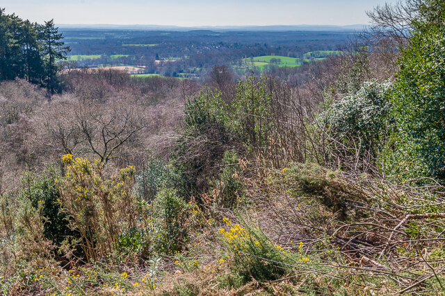
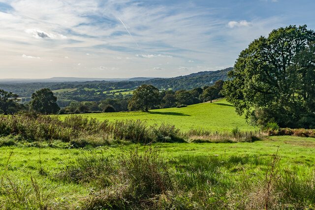
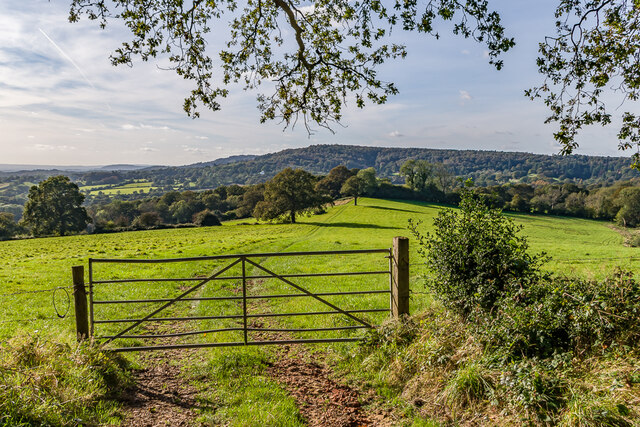
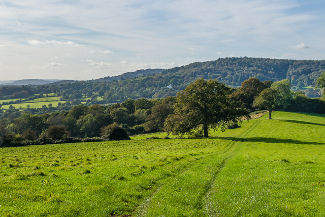
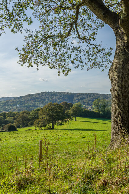
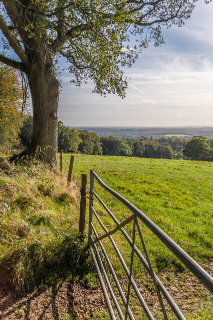
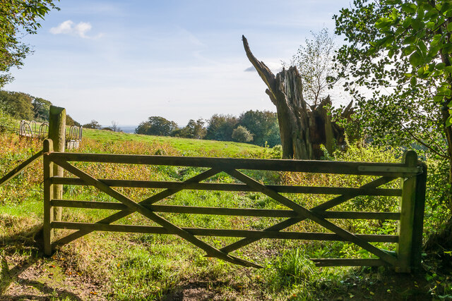
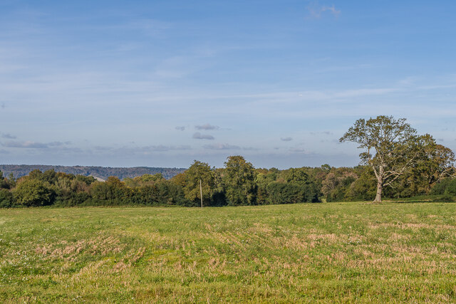
Rosiers Wood is a picturesque woodland located in the county of Surrey, England. Spread across an area of approximately 50 hectares, it is situated near the village of Chiddingfold, offering a peaceful retreat for nature enthusiasts and visitors alike. The wood is managed by the National Trust and is a designated Site of Special Scientific Interest due to its diverse ecosystem and rich biodiversity.

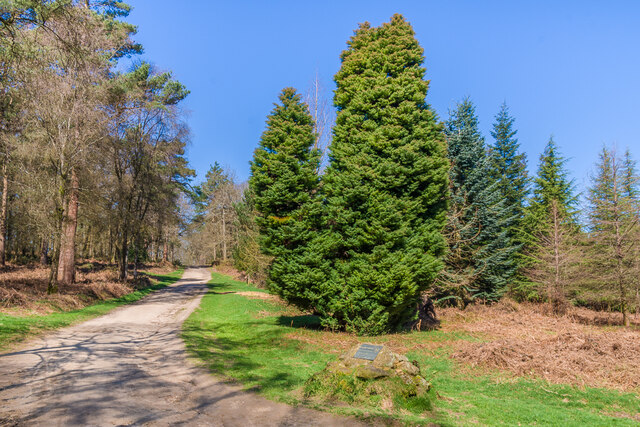
The woodland is predominantly composed of native broadleaf trees, including oak, birch, and beech, creating a dense and verdant canopy that provides shelter for a wide range of wildlife. The forest floor is adorned with an array of wildflowers, such as bluebells, primroses, and wood anemones, which add a vibrant burst of color during the spring season.

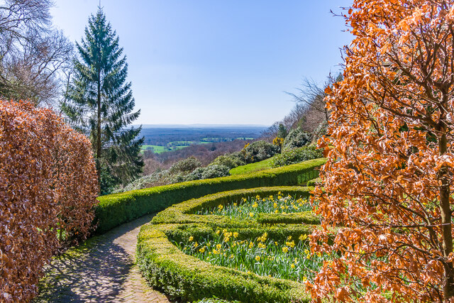
Rosiers Wood is crisscrossed by a network of well-maintained footpaths, allowing visitors to explore its natural beauty at their own pace. The paths meander through the woodland, leading to open glades and tranquil spots where one can relax and immerse themselves in the peaceful surroundings. There are also several benches strategically placed along the trails, providing opportunities for contemplation and bird-watching.

The wood is home to a variety of wildlife, including deer, badgers, foxes, and a multitude of bird species. Birdwatchers can spot different avian species, such as woodpeckers, nuthatches, and tawny owls, among others.

Overall, Rosiers Wood in Surrey offers a serene and enchanting experience for nature lovers, providing a haven where visitors can connect with the beauty of the natural world.

If you have any feedback on the listing, please let us know in the comments section below.

Rosiers Wood Images

Images are sourced within 2km of 51.17879/-0.40145942 or Grid Reference TQ1143. Thanks to Geograph Open Source API. All images are credited.

Hurtwood Millennium Pinetum Pinetum on Holmbury Hill, planted by the Friends of the Hurtwood to celebrate the Millennium with over 30 species.
Hurtwood Millennium Pinetum
Pinetum on Holmbury Hill, planted by the Friends of the Hurtwood to celebrate the Millennium with over 30 species.
South from near Holmbury Hill The view south from near Holmbury Hill.
South from near Holmbury Hill
The view south from near Holmbury Hill.
Beech Cottage garden The garden of Beech Cottage on the slope of Holmbury Hill, with extensive views to the south.
Beech Cottage garden
The garden of Beech Cottage on the slope of Holmbury Hill, with extensive views to the south.
Near Holmbury Hill Path through west of the summit of Holmbury Hill.
Near Holmbury Hill
Path through west of the summit of Holmbury Hill.
West from near Tanhurst Looking west from near Tanhurst, on the western slopes of Leith Hill.  In the far distance is Black Down.
West from near Tanhurst
Looking west from near Tanhurst, on the western slopes of Leith Hill. In the far distance is Black Down.
West from near Tanhurst Looking west from near Tanhurst, on the western slopes of Leith Hill.  In the distance is Holmbury Hill.
West from near Tanhurst
Looking west from near Tanhurst, on the western slopes of Leith Hill. In the distance is Holmbury Hill.
West from near Tanhurst Looking west from near Tanhurst, on the western slopes of Leith Hill.  In the distance is Holmbury Hill.
West from near Tanhurst
Looking west from near Tanhurst, on the western slopes of Leith Hill. In the distance is Holmbury Hill.
West from near Tanhurst Looking west from near Tanhurst, on the western slopes of Leith Hill.  In the distance is Holmbury Hill.
West from near Tanhurst
Looking west from near Tanhurst, on the western slopes of Leith Hill. In the distance is Holmbury Hill.
South from near Tanhurst Looking south from near Tanhurst, on the western slopes of Leith Hill.  In the far distance are the South Downs.
South from near Tanhurst
Looking south from near Tanhurst, on the western slopes of Leith Hill. In the far distance are the South Downs.
South from above Tanhurst Looking south from above Tanhurst, on the western slopes of Leith Hill.
South from above Tanhurst
Looking south from above Tanhurst, on the western slopes of Leith Hill.
Sheephouse Lane Looking along Sheephouse Lane with the entrance to Leyland's Farm on the left.
Sheephouse Lane
Looking along Sheephouse Lane with the entrance to Leyland's Farm on the left.
Paddock Paddock north of Leyland's Farm.
Paddock
Paddock north of Leyland's Farm.
King George's Cottage Looking across a field to King George's Cottage, originally a terrace of 4 farmworkers' cottages, now a single house.  The name refers to the hamlet in which it is situated, known in the past as King George's Hill, itself named after a long gone pub (according to "A History of the County of Surrey" - Victoria County History, 1911).
King George's Cottage
Looking across a field to King George's Cottage, originally a terrace of 4 farmworkers' cottages, now a single house. The name refers to the hamlet in which it is situated, known in the past as King George's Hill, itself named after a long gone pub (according to "A History of the County of Surrey" - Victoria County History, 1911).
Lemon's Farm Looking across a field to Lemon's Farm, with the North Downs in the distance.
Lemon's Farm
Looking across a field to Lemon's Farm, with the North Downs in the distance.
Field Field west of Sheephouse Lane, with the North Downs in the distance.
Field
Field west of Sheephouse Lane, with the North Downs in the distance.
Field Field edge west of Sheephouse Lane.
Field
Field edge west of Sheephouse Lane.
Footpath sign A metal footpath sign near St George's Cottage.
Footpath sign
A metal footpath sign near St George's Cottage.
Longfield Farm House on Sewer's Farm Road.
Longfield Farm
House on Sewer's Farm Road.
Show me another place!

Rosiers Wood is located at Grid Ref: TQ1143 (Lat: 51.17879, Lng: -0.40145942)

Administrative County: Surrey

District: Mole Valley

Police Authority: Surrey

What 3 Words

///tags.pure.broke. Near Peaslake, Surrey

Nearby Locations

Rosiers Wood

Related Wikis

Holmbury St Mary

Holmbury St Mary is a village in Surrey, England centered on shallow upper slopes of the Greensand Ridge. Its developed area is a nucleated village, 4...

Joldwynds

Joldwynds is a modernist style house in Holmbury St Mary, Surrey, England, designed by architect Oliver Hill for Wilfred Greene, 1st Baron Greene. Completed...

Belmont School, Surrey

Belmont is an independent co-educational school in Surrey which takes pupils from the ages of 3 to 16. The school is a charitable trust, administered...

Holmbury Hill

Holmbury Hill is a wooded area of 261 metres (856 ft) above sea level in Surrey, England, and the site of an Iron Age-period hillfort. The Old Saxon word...

Mullard Space Science Laboratory

The UCL Mullard Space Science Laboratory (MSSL) is the United Kingdom's largest university space research group. MSSL is part of the Department of Space...

Leith Hill SSSI

Leith Hill SSSI is a 337.9-hectare (835-acre) biological Site of Special Scientific Interest south-east of Dorking in Surrey. The SSSI consists of four...

Hurtwood House

Hurtwood House is an independent, co-educational boarding school and sixth form for pupils aged 15–19 in Surrey, England. == Synopsis == Founded in 1970...

Greensand Way

The Greensand Way is a long-distance path of 108 miles (174 km) in southeast England, from Haslemere in Surrey to Hamstreet in Kent. It follows the Greensand...

Nearby Amenities

Located within 500m of 51.17879,-0.40145942
Barrier: stile
Lat/Long: 51.1753544/-0.4052791
The data included in this document is from www.openstreetmap.org. The data is made available under ODbL.

Have you been to Rosiers Wood?

Leave your review of Rosiers Wood below (or comments, questions and feedback).