Down Wood

Wood, Forest in Surrey Elmbridge

England

Down Wood

Horsley Road Entrance to Highway Farm.
Horsley Road Credit: James Emmans

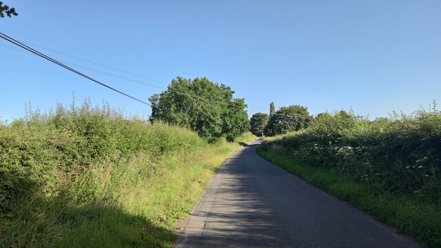
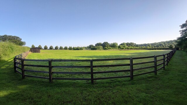
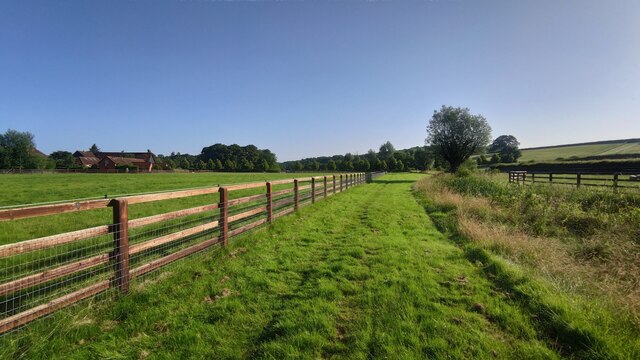
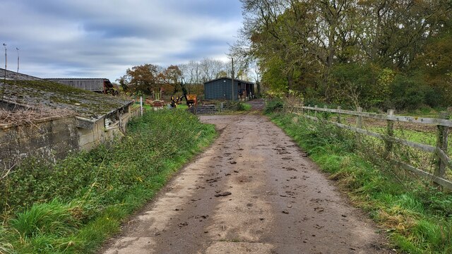
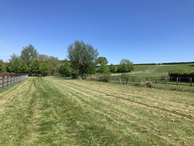
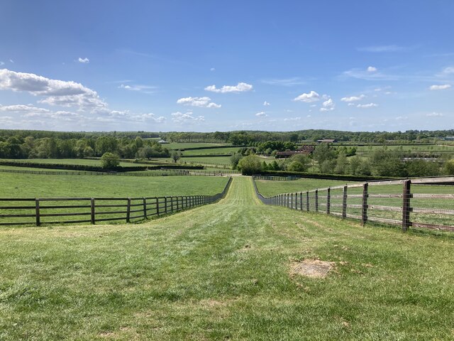
Down Wood is a serene and enchanting forest located in Surrey, England. Covering an area of approximately 100 hectares, it is a popular destination for nature lovers and outdoor enthusiasts. The woodland is situated near the village of Wood, offering a peaceful retreat away from the hustle and bustle of city life.

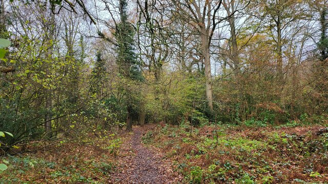
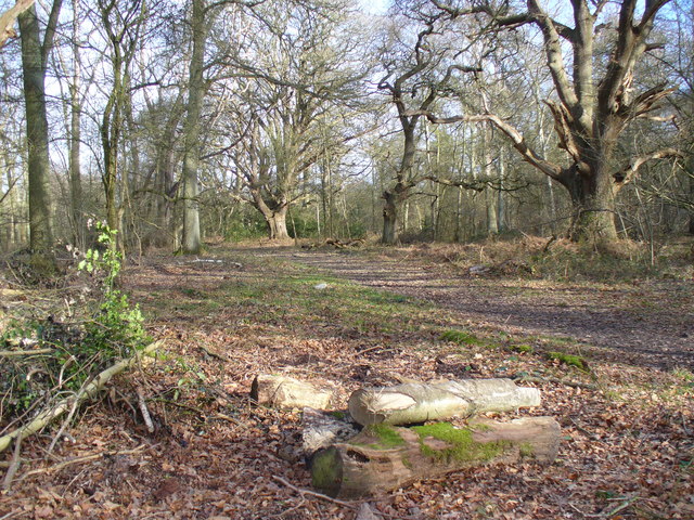
The forest is characterized by a diverse range of trees, including beech, oak, and pine, which create a dense and picturesque canopy. The tall and majestic trees provide shade and shelter for various wildlife species that call Down Wood their home. Visitors often encounter squirrels, deer, and a wide variety of bird species as they explore the trails and pathways within the forest.

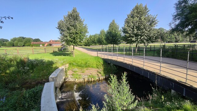
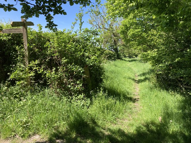
The woodland is crisscrossed by a network of well-maintained walking trails, making it an ideal location for hikers and nature walkers. These trails provide an opportunity to immerse oneself in the natural beauty of the forest, with breathtaking views of ancient trees, vibrant wildflowers, and occasional glimpses of small streams meandering through the woods.

Down Wood is managed by the local authorities who ensure the preservation of its natural habitat. They regularly organize educational programs and guided tours to raise awareness about the importance of conservation and the delicate balance of the ecosystem.

With its tranquil ambiance and abundant wildlife, Down Wood offers a refreshing escape for individuals seeking solace in nature. It is a true gem of Surrey, attracting visitors from all walks of life who appreciate the beauty and serenity this woodland has to offer.

If you have any feedback on the listing, please let us know in the comments section below.

Down Wood Images

Images are sourced within 2km of 51.304958/-0.3969652 or Grid Reference TQ1157. Thanks to Geograph Open Source API. All images are credited.

Horsley Road Entrance to Highway Farm.
Horsley Road
Entrance to Highway Farm.
Ploughed field next to Chilbrook Farm
St Michael's Chapel View from the Downside footpath that leads to Cobham.
St Michael's Chapel
View from the Downside footpath that leads to Cobham.
Bookham Road Rural road that leads to Little Bookham Common. It goes under the M25 and the New Guildford Railway (1885).
Bookham Road
Rural road that leads to Little Bookham Common. It goes under the M25 and the New Guildford Railway (1885).
Paddock near Chasemore Farm
Paddock next to Chasemore Farm Chasemore Farm building is on the left.
Paddock next to Chasemore Farm
Chasemore Farm building is on the left.
Casemore Farm access road Bridge over a stream that has a check dam to prevent excess erosion during wet weather.
Casemore Farm access road
Bridge over a stream that has a check dam to prevent excess erosion during wet weather.
Grass verge along Tilt Road Cobham
Railway bridge on Stoke Road The A245 going over the 'New Guildford Line' (1885)
Railway bridge on Stoke Road
The A245 going over the 'New Guildford Line' (1885)
Cobham Road A busy semi-rural 'A' road with sloping narrow verge poorly designed for walkers.
Cobham Road
A busy semi-rural 'A' road with sloping narrow verge poorly designed for walkers.
Farm Track Access road for Slyfield Farm and a public footpath.
Farm Track
Access road for Slyfield Farm and a public footpath.
Chelsea Football Club The main entrance to the training grounds on Stoke Road, Stoke D'Abernon.
Chelsea Football Club
The main entrance to the training grounds on Stoke Road, Stoke D'Abernon.
Historic South Lodge The old southern entrance to the Manor that is now a private school.
Historic South Lodge
The old southern entrance to the Manor that is now a private school.
The River Mole snakes pass Slyfield House
Great Bookham Common Path near the National Trust carpark.
Great Bookham Common
Path near the National Trust carpark.
Footpath near Chasemore Farm Footpath Esher 81/Leatherhead 600 near Chasemore Farm. The true line of the right of way passes through the paddock to the left (which, given the footpath was diverted out of the farm some while ago, suggests a lack of foresight). The stream, on the right, is the borough boundary between Elmbridge and Mole Valley — save that the boundary actually follows the old, meandering course of the stream which would twice have crossed this lower part of the field (this is why the footpath has two numbers).
Footpath near Chasemore Farm
Footpath Esher 81/Leatherhead 600 near Chasemore Farm. The true line of the right of way passes through the paddock to the left (which, given the footpath was diverted out of the farm some while ago, suggests a lack of foresight). The stream, on the right, is the borough boundary between Elmbridge and Mole Valley — save that the boundary actually follows the old, meandering course of the stream which would twice have crossed this lower part of the field (this is why the footpath has two numbers).
Chasemore Farm from footpath 1 Footpath Leatherhead 1 descends between horse paddocks towards a bridge over a stream marking the boundary between Mole Valley district and Elmbridge borough. Beyond is Chasemore Farm.
Chasemore Farm from footpath 1
Footpath Leatherhead 1 descends between horse paddocks towards a bridge over a stream marking the boundary between Mole Valley district and Elmbridge borough. Beyond is Chasemore Farm.
Stents Lane near Bookham Lodge Stents Lane at the junction between footpaths Leatherhead 1 and 6.  Footpath 6 here follows Stents Lane.
Stents Lane near Bookham Lodge
Stents Lane at the junction between footpaths Leatherhead 1 and 6. Footpath 6 here follows Stents Lane.
Show me another place!

Down Wood is located at Grid Ref: TQ1157 (Lat: 51.304958, Lng: -0.3969652)

Administrative County: Surrey

District: Elmbridge

Police Authority: Surrey

What 3 Words

///punch.admire.buyers. Near Cobham, Surrey

Related Wikis

Cobham MSA

Cobham services is a motorway service area on the M25 motorway in Surrey between junctions 9 and 10. It is operated by Extra MSA and was opened for business...
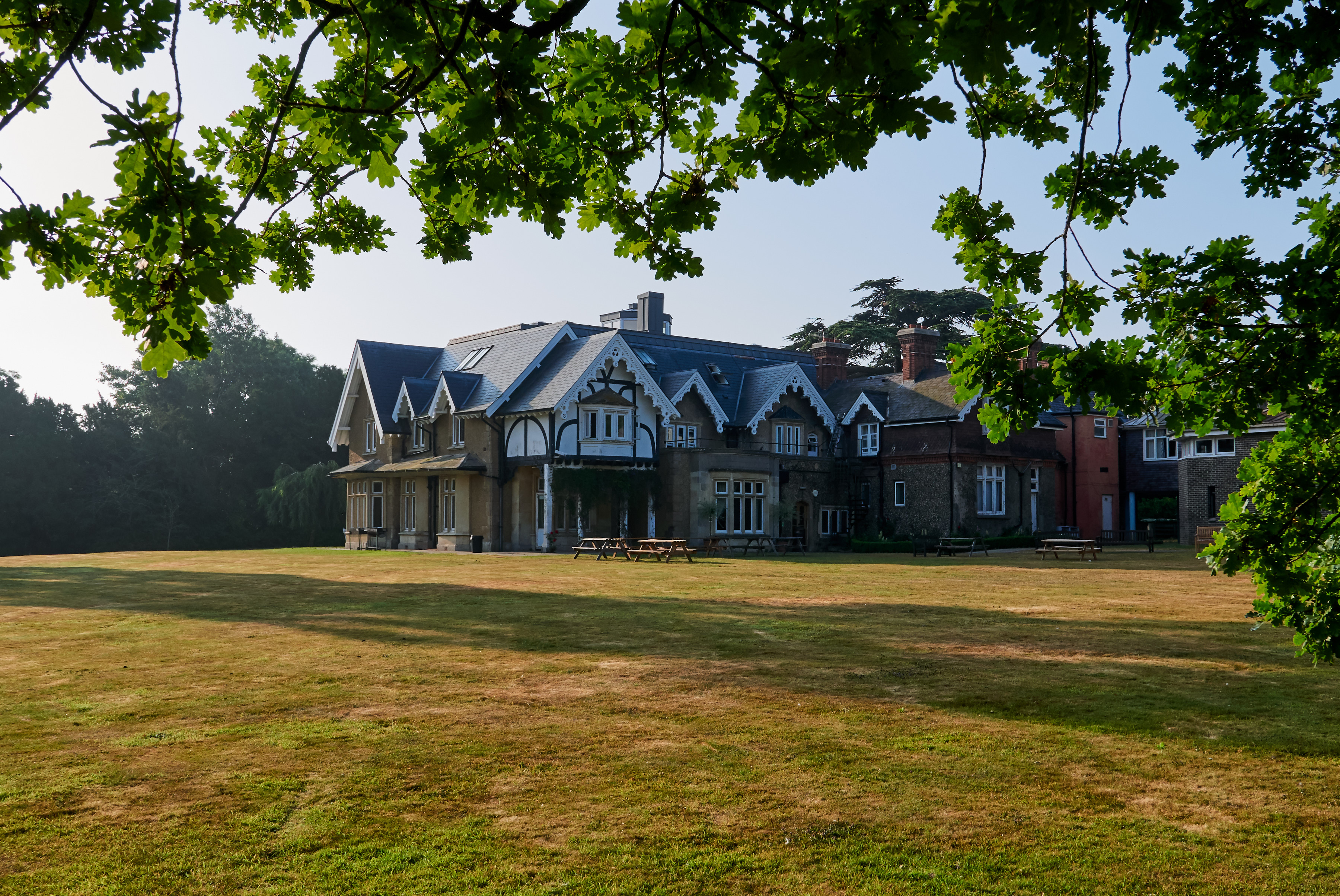
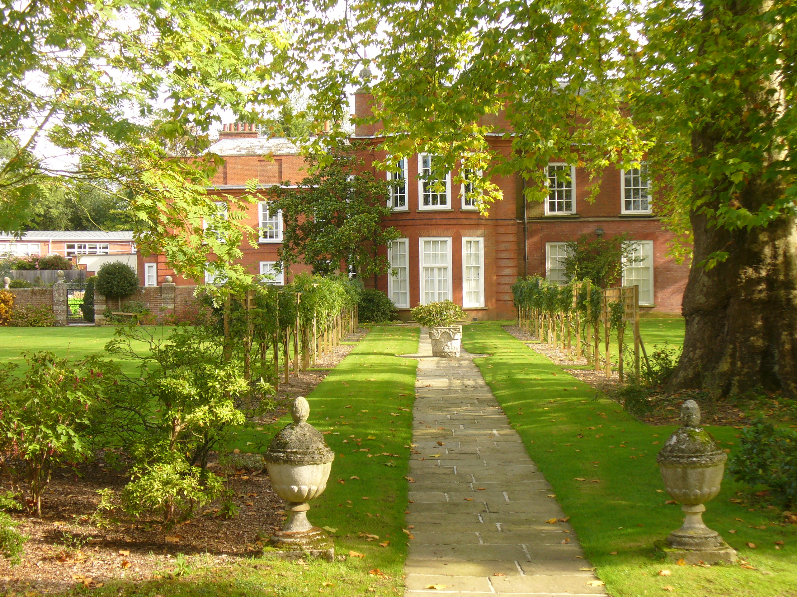
Bookham Lodge

The Grange is a gothic regency manor house in Stoke d'Abernon, Surrey that dates back to the 15th Century. It was part of the Eastwick Manor estate and...

Downside, Surrey

Downside is a small village in the English county of Surrey, in the local government district of Elmbridge, centred on Downside Common which is 18 miles...

Bookham Commons

Bookham Commons are two commons, situated just to the north of the villages of Great Bookham and Little Bookham, in Surrey, England, 154.7 hectares (382...

Yehudi Menuhin School

The Yehudi Menuhin School is a specialist music school in Stoke d'Abernon, Surrey, England, founded in 1963 by violinist and conductor Yehudi Menuhin....

Parkside School, Cobham

Parkside School is a private preparatory school located in Cobham. Founded in 1879, the school caters for boys aged 2 to 13 and for girls in the nursery...

St Mary's Church, Stoke d'Abernon

The Church of St Mary is an Anglican church in the village of Stoke d'Abernon, Surrey, in the Diocese of Guildford. The church, the oldest parts of which...

Cobham & Stoke d'Abernon railway station

Cobham & Stoke d'Abernon railway station is in the village of Stoke d'Abernon in Surrey, England and also serves the nearby town of Cobham. It is 18 miles...

Related Videos

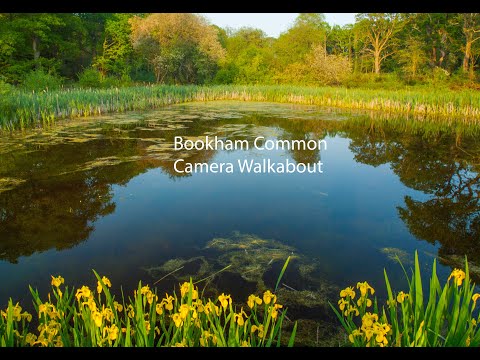
Wetland Walk Bookham Common

Let go and explore the Wetlands at Bookham Common in Surrey, the sounds of the birds, amazing trees, ponds, and a bird hive, ...

M25 at night! 🛣🌒 #M25 #MOTORWAY

Travelling along the M25 in Surrey one evening, traffic is pretty light too. vermigram: http://www.instagram.com/vermigram Be sure ...

Bookham - Area Guide

For more information about the Bookham Area visit our local area guide: https://curchods.com/area-guide/bookham/ timestamps: ...

Nearby Amenities

Located within 500m of 51.304958,-0.3969652
Motorway Junction
Cobham Services
Lat/Long: 51.3058311/-0.402679
Phone
Emergency: phone
Operator: National Highways
Operator Wikidata: Q5760006
Lat/Long: 51.3058105/-0.3983657
Phone
Emergency: phone
Operator: National Highways
Operator Wikidata: Q5760006
Lat/Long: 51.3061922/-0.3984594
Man Made: tower
Tower Type: communication
Lat/Long: 51.305865/-0.3966386
Street Lamp
Lamp Model: Urbis ZX3
Lamp Type: SON
Source: Mapillary (2019-02-15)
Lat/Long: 51.30722/-0.3912592
Street Lamp
Lamp Model: Urbis ZX3
Lamp Type: SON
Source: Mapillary (2019-02-15)
Lat/Long: 51.3070808/-0.3918466
Street Lamp
Lamp Model: Urbis ZX3
Lamp Type: SON
Source: Mapillary (2019-02-15)
Lat/Long: 51.3069433/-0.3924367
Street Lamp
Lamp Model: Urbis ZX3
Lamp Type: SON
Source: Mapillary (2019-02-15)
Lat/Long: 51.3068159/-0.3930402
Street Lamp
Lamp Model: Urbis ZX3
Lamp Type: SON
Source: Mapillary (2019-02-15)
Lat/Long: 51.3066952/-0.3936437
Street Lamp
Lamp Model: Urbis ZX3
Lamp Type: SON
Source: Mapillary (2019-02-15)
Lat/Long: 51.3065744/-0.3942525
Street Lamp
Lamp Model: Urbis ZX3
Lamp Type: SON
Source: Mapillary (2019-02-15)
Lat/Long: 51.3064654/-0.3948721
Street Lamp
Lamp Model: Urbis ZX3
Lamp Type: SON
Source: Mapillary (2019-02-15)
Lat/Long: 51.3063564/-0.3955025
Street Lamp
Lamp Model: Urbis ZX3
Lamp Type: SON
Source: Mapillary (2019-02-15)
Lat/Long: 51.3062609/-0.3961274
Street Lamp
Lamp Model: Urbis ZX3
Lamp Type: SON
Source: Mapillary (2019-02-15)
Lat/Long: 51.3061787/-0.3967229
Street Lamp
Lamp Model: Urbis ZX3
Lamp Type: SON
Source: Mapillary (2019-02-15)
Lat/Long: 51.3061116/-0.3972968
Street Lamp
Lamp Model: Urbis ZX3
Lamp Type: SON
Source: Mapillary (2019-02-15)
Lat/Long: 51.306063/-0.3978869
Street Lamp
Lamp Model: Urbis ZX3
Lamp Type: SON
Source: Mapillary (2019-02-15)
Lat/Long: 51.3060127/-0.3984636
Street Lamp
Lamp Model: Urbis ZX3
Lamp Type: SON
Source: Mapillary (2019-02-15)
Lat/Long: 51.3059691/-0.3990564
Street Lamp
Lamp Model: Urbis ZX3
Lamp Type: SON
Source: Mapillary (2019-02-15)
Lat/Long: 51.3059238/-0.3996438
Street Lamp
Lamp Model: Urbis ZX3
Lamp Type: SON
Source: Mapillary (2019-02-15)
Lat/Long: 51.305902/-0.4002473
Traffic Sign: variable_message
Variable Message Model: MS2
Lat/Long: 51.3062453/-0.3977437
Traffic Sign: variable_message
Variable Message Model: MS2
Lat/Long: 51.3062005/-0.3977331
Traffic Sign: variable_message
Variable Message Model: MS2
Lat/Long: 51.3061711/-0.3977262
Traffic Sign: variable_message
Variable Message Model: MS2
Lat/Long: 51.3061389/-0.3977186
Traffic Sign: variable_message
Variable Message Model: MS2
Lat/Long: 51.3061081/-0.3977113
Traffic Sign: variable_message
Variable Message Model: MS2
Lat/Long: 51.3058991/-0.3976619
Traffic Sign: variable_message
Variable Message Model: AMI
Lat/Long: 51.3059407/-0.3976717
Traffic Sign: variable_message
Variable Message Model: AMI
Lat/Long: 51.305974/-0.3976796
Traffic Sign: variable_message
Variable Message Model: AMI
Lat/Long: 51.3060027/-0.3976863
Traffic Sign: variable_message
Variable Message Model: AMI
Lat/Long: 51.3060336/-0.3976936
Camera Mount: pole
Camera Type: panning
Height: 8
Man Made: surveillance
Surveillance: public
Surveillance Type: camera
Surveillance Zone: traffic
Lat/Long: 51.3058601/-0.397604
Turning Circle
Lat/Long: 51.3016901/-0.3950903
Give Way
Lat/Long: 51.3055229/-0.4038146
Give Way
Direction: forward
Lat/Long: 51.3049214/-0.4037309
Give Way
Direction: forward
Lat/Long: 51.3052225/-0.4037728
The data included in this document is from www.openstreetmap.org. The data is made available under ODbL.

Have you been to Down Wood?

Leave your review of Down Wood below (or comments, questions and feedback).