Appspond Wood

Wood, Forest in Hertfordshire St. Albans

England

Appspond Wood

M1/M25 Junction It's noisy, hostile and bleak but the motorway junction occupies about half the entire grid square so is the dominating feature. Photo taken looking South down the M1 from the bridge at TL115038.
M1/M25 Junction Credit: Rob Hinkley

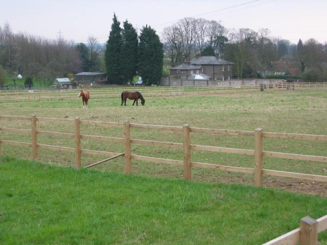
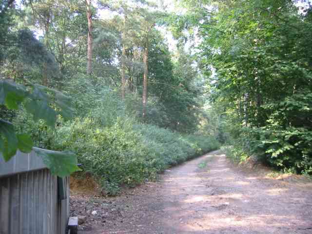
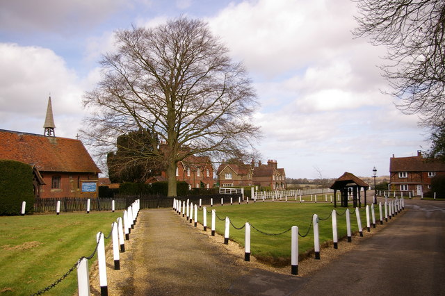
Appspond Wood is a picturesque woodland located in Hertfordshire, England. Spanning over an area of several acres, it is a popular destination for nature enthusiasts and outdoor adventurers. The wood is situated near the village of Appspond, hence its name, and is characterized by its diverse range of tree species, vibrant flora, and abundant wildlife.

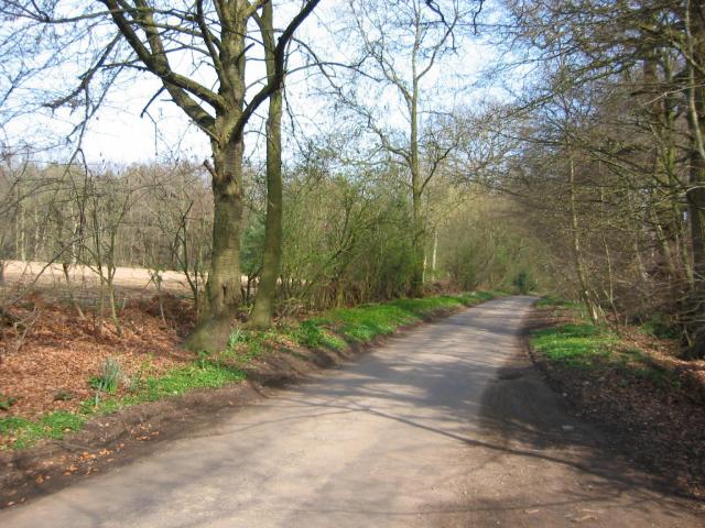
The wood boasts a rich history, with some parts dating back several centuries. It has been carefully managed to preserve its natural ecosystem and maintain its biodiversity. As a result, Appspond Wood offers a tranquil and peaceful atmosphere, making it an ideal spot for walking, bird watching, and photography.

The wood is home to a variety of trees, including oak, beech, ash, and birch. These towering trees create a dense canopy that provides shade and shelter for an array of wildlife. Visitors to Appspond Wood may spot various bird species, such as woodpeckers, owls, and songbirds, as well as small mammals like squirrels and foxes.

There are several well-maintained footpaths that crisscross through the wood, allowing visitors to explore its natural beauty at their own pace. Along the paths, one can find benches and picnic spots, offering opportunities to rest and take in the surroundings.

Appspond Wood is easily accessible by car or public transportation, and there is ample parking available nearby. The wood is open to the public throughout the year, and admission is free. It is worth noting that dogs are welcome but must be kept on a leash to preserve the tranquility and safety of the woodland.

If you have any feedback on the listing, please let us know in the comments section below.

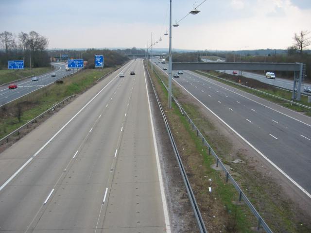
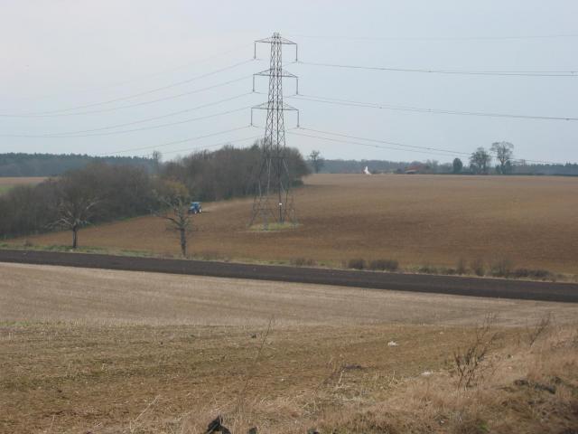
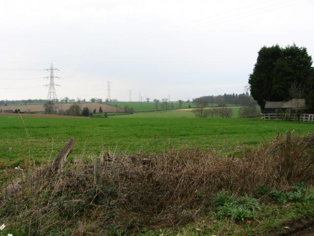
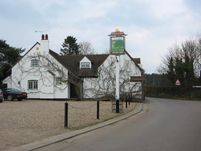
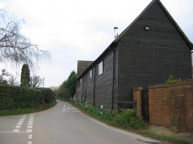
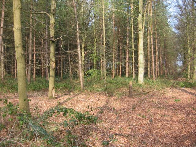
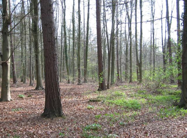
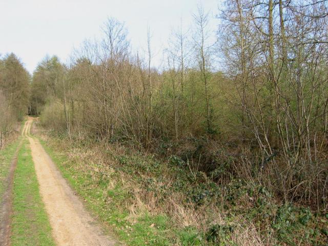
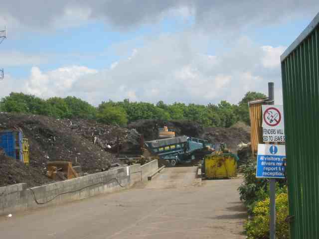
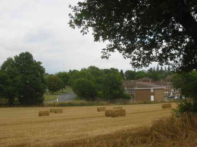
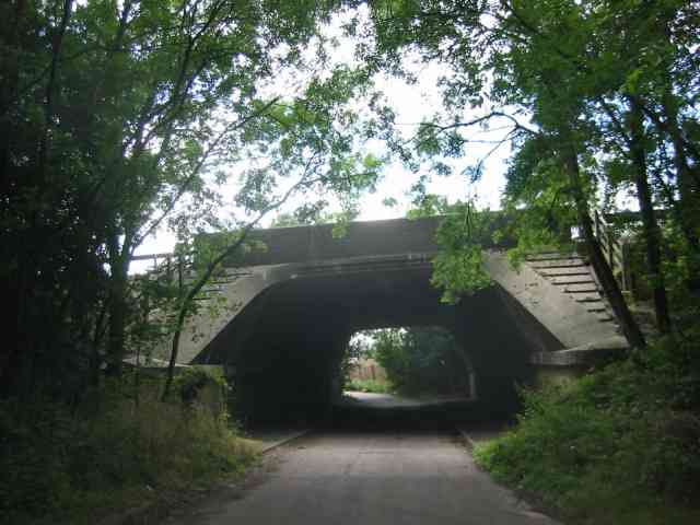
Appspond Wood Images

Images are sourced within 2km of 51.735933/-0.39010331 or Grid Reference TL1105. Thanks to Geograph Open Source API. All images are credited.

M1/M25 Junction It's noisy, hostile and bleak but the motorway junction occupies about half the entire grid square so is the dominating feature. Photo taken looking South down the M1 from the bridge at TL115038.
M1/M25 Junction
It's noisy, hostile and bleak but the motorway junction occupies about half the entire grid square so is the dominating feature. Photo taken looking South down the M1 from the bridge at TL115038.
Pylon and copse Looking North from TL117043, we see the power lines jump over a little copse. That's pretty much the most significant landmark in the grid square.
Pylon and copse
Looking North from TL117043, we see the power lines jump over a little copse. That's pretty much the most significant landmark in the grid square.
Farmland, farmland... Looking NW from the track at TL107064 by Hill End Farm (buildings at right).
Farmland, farmland...
Looking NW from the track at TL107064 by Hill End Farm (buildings at right).
The 'Holly Bush' at Potters Crouch The 'Holly Bush' pub at Potters Crouch: a village of about 4 houses.
And yes, Potters Crouch is its real name - I'm not making it up.
The 'Holly Bush' at Potters Crouch
The 'Holly Bush' pub at Potters Crouch: a village of about 4 houses. And yes, Potters Crouch is its real name - I'm not making it up.
Barn-like house, Potters Crouch Looking East into Potters Crouch on the road from Bedmond (at TL114052).
Barn-like house, Potters Crouch
Looking East into Potters Crouch on the road from Bedmond (at TL114052).
Potterscrouch Plantations Looking East from the forestry track in Potterscrouch Plantations at TL104047.
Potterscrouch Plantations
Looking East from the forestry track in Potterscrouch Plantations at TL104047.
Plantation Looking SW from the track through the woods at TL104047.
Plantation
Looking SW from the track through the woods at TL104047.
New growth in plantation Looking E along the track in the woods at about TL105053. Not the classiest woods, mind you - they seem to be a popular venue for fly-tipping and burning cars, to judge by patches of wreckage.
New growth in plantation
Looking E along the track in the woods at about TL105053. Not the classiest woods, mind you - they seem to be a popular venue for fly-tipping and burning cars, to judge by patches of wreckage.
Daneswick farm buildings Looking SE from TL122046
Daneswick farm buildings
Looking SE from TL122046
Road from Potters Crouch to Chiswell Green Looking East from TL123052 with copse on the right, open field and then woods on the left.
Road from Potters Crouch to Chiswell Green
Looking East from TL123052 with copse on the right, open field and then woods on the left.
The Swan Inn, Pimlico  Herts Evidence that the people of Pimlico get thirsty
The Swan Inn, Pimlico Herts
Evidence that the people of Pimlico get thirsty
No Access by this route The log blocks what used to be a layby when the road was straightened but now it has been deleted for safety's sake
No Access by this route
The log blocks what used to be a layby when the road was straightened but now it has been deleted for safety's sake
The composting facility This establishment with the huge piles of composting material implies that the stuff isn't 
getting into the commercial circuit.
The composting facility
This establishment with the huge piles of composting material implies that the stuff isn't getting into the commercial circuit.
The edge of the town This view from Bedmond Lane shows the abrupt demarcation between housing estate and farmland.
The edge of the town
This view from Bedmond Lane shows the abrupt demarcation between housing estate and farmland.
Bridge over Beechtree Lane The design of this bridge carrying the M10 just before it merges with the M1 is typical of the period with the rustications
Bridge over Beechtree Lane
The design of this bridge carrying the M10 just before it merges with the M1 is typical of the period with the rustications
Private Road into Prae Wood off  A 4147 The impression given is that a timber conversion plant is just beyond the turn. This is the Gorhambury Estate.
Private Road into Prae Wood off A 4147
The impression given is that a timber conversion plant is just beyond the turn. This is the Gorhambury Estate.
Searches Farm Searches Lane Bedmont. This is located down a single track lane BUT close to the motorway
Searches Farm Searches Lane Bedmont.
This is located down a single track lane BUT close to the motorway
Direction signs on the motorway This helps to locate accurately the spot in Blunts Lane.
Direction signs on the motorway
This helps to locate accurately the spot in Blunts Lane.
Show me another place!

Appspond Wood is located at Grid Ref: TL1105 (Lat: 51.735933, Lng: -0.39010331)

Administrative County: Hertfordshire

District: St. Albans

Police Authority: Hertfordshire

What 3 Words

///plates.money.dash. Near Abbots Langley, Hertfordshire

Related Wikis

Potters Crouch

Potters Crouch is a small hamlet in Hertfordshire, England, south-west of St Albans near Chiswell Green. It is in the civil parish of St Michael. ��2...

International Crown

The Hanwha LifePlus International Crown is a biennial women's professional team golf tournament on the LPGA Tour. Eight national teams of four players...

Centurion Club

The Centurion Club is a golf club in Hemel Hempstead in Hertfordshire. The club opened in 2013. It has hosted the GolfSixes series in 2017 and 2018 and...

M10 motorway (Great Britain)

The M10 was a motorway in Hertfordshire, England, running for approximately 3 miles (4.5 km) from the M1 motorway at junction 7 near Hemel Hempstead to...

Royal National Rose Society Gardens

The Royal National Rose Society Gardens, also known as The Gardens of The Rose, were the gardens and headquarters of The Royal National Rose Society at...

St Michael, Hertfordshire

St Michael is a civil parish in the St Albans district in Hertfordshire, England. The parish is named after but no longer includes St Michael's Church...

Butterfly World, Hertfordshire

The Butterfly World Project was a visitor attraction in the village of Chiswell Green, on the outskirts of St Albans in Hertfordshire, UK, dedicated to...

St Stephen, Hertfordshire

St Stephen is a civil parish in the St Albans City and District in Hertfordshire, England. It is located approximately 17 miles (27 km) north-northwest...

Nearby Amenities

Located within 500m of 51.735933,-0.39010331
Post Box
Collection Times: Mo-Fr 16:00; Sa 07:00
Operator: Royal Mail
Post Box Type: lamp
Ref: AL2 79
Royal Cypher: EIIR
Royal Cypher Wikidata: Q33102113
Lat/Long: 51.7346724/-0.3841552
Power: tower
Lat/Long: 51.7333094/-0.394338
Power: tower
Lat/Long: 51.7352071/-0.3952306
Power: tower
Lat/Long: 51.7378913/-0.3964666
Power: tower
Lat/Long: 51.7337772/-0.3904413
Power: tower
Lat/Long: 51.7351167/-0.3919519
Power: tower
Lat/Long: 51.7375937/-0.3933595
Power: tower
Lat/Long: 51.7386992/-0.3942007
Potters Crouch
Is In: Hertfordshire
Place: hamlet
Wikidata: Q7235316
Wikipedia: en:Potters Crouch
Lat/Long: 51.73441/-0.3846145
Speed Camera
Direction: 157.5
Maxspeed: 70 mph
Maxspeed Type: GB:motorway
Lat/Long: 51.7372849/-0.393601
Speed Camera
Maxspeed: 70 mph
Maxspeed Type: GB:motorway
Lat/Long: 51.7353356/-0.3928616
Speed Camera
Maxspeed: 70 mph
Maxspeed Type: GB:motorway
Lat/Long: 51.7338448/-0.391951
Street Lamp
Lamp Model: CU Phosco P860
Lamp Type: LED
Source: Survey of 2019-02-22
Lat/Long: 51.7390507/-0.3951483
Street Lamp
Lamp Model: CU Phosco P860
Lamp Type: LED
Source: Survey of 2019-02-22
Lat/Long: 51.738689/-0.3948458
Street Lamp
Lamp Model: CU Phosco P860
Lamp Type: LED
Source: Survey of 2019-02-22
Lat/Long: 51.738336/-0.3945398
Street Lamp
Lamp Model: CU Phosco P860
Lamp Type: LED
Source: Survey of 2019-02-22
Lat/Long: 51.7379678/-0.3942548
Street Lamp
Lamp Model: CU Phosco P860
Lamp Type: LED
Source: Survey of 2019-02-22
Lat/Long: 51.7375997/-0.3939836
Street Lamp
Lamp Model: CU Phosco P860
Lamp Type: LED
Source: Survey of 2019-02-22
Lat/Long: 51.7372208/-0.3937402
Street Lamp
Lamp Model: CU Phosco P860
Lamp Type: LED
Source: Survey of 2019-02-22
Lat/Long: 51.7368655/-0.3935108
Street Lamp
Lamp Model: CU Phosco P860
Lamp Type: LED
Source: Survey of 2019-02-22
Lat/Long: 51.7365232/-0.3933057
Street Lamp
Lamp Model: CU Phosco P860
Lamp Type: LED
Source: Survey of 2019-02-22
Lat/Long: 51.7361658/-0.393104
Street Lamp
Lamp Model: CU Phosco P860
Lamp Type: LED
Source: Survey of 2019-02-22
Lat/Long: 51.735774/-0.3929058
Street Lamp
Lamp Model: CU Phosco P860
Lamp Type: LED
Source: Survey of 2019-02-22
Lat/Long: 51.7353864/-0.3927146
Street Lamp
Lamp Model: CU Phosco P860
Lamp Type: LED
Source: Survey of 2019-02-22
Lat/Long: 51.7349859/-0.3925478
Street Lamp
Lamp Model: CU Phosco P860
Lamp Type: LED
Source: Survey of 2019-02-22
Lat/Long: 51.7345833/-0.3923844
Street Lamp
Lamp Model: CU Phosco P860
Lamp Type: LED
Source: Survey of 2019-02-22
Lat/Long: 51.734185/-0.3922488
Street Lamp
Lamp Model: CU Phosco P860
Lamp Type: LED
Source: Survey of 2019-02-22
Lat/Long: 51.7337845/-0.3921062
Street Lamp
Lamp Model: CU Phosco P860
Lamp Type: LED
Source: Survey of 2019-02-22
Lat/Long: 51.733397/-0.3919741
Street Lamp
Lamp Model: CU Phosco P860
Lamp Type: LED
Source: Survey of 2019-02-22
Lat/Long: 51.7330115/-0.3918385
Street Lamp
Lamp Model: CU Phosco P860
Lamp Type: LED
Source: Survey of 2019-02-22
Lat/Long: 51.7326197/-0.3917099
Street Lamp
Lamp Model: CU Phosco P860
Lamp Type: LED
Source: Survey of 2019-02-22
Lat/Long: 51.7322084/-0.3915604
Street Lamp
Lamp Model: CU Phosco P860
Lamp Type: LED
Source: Survey of 2019-02-22
Lat/Long: 51.7317842/-0.3914248
Speed Camera
Maxspeed: 70 mph
Maxspeed Type: GB:motorway
Lat/Long: 51.7316411/-0.3915713
Direction: 160
Generator Method: photovoltaic
Generator Output Electricity: yes
Generator Solar Modules: 16
Generator Source: solar
Generator Type: solar_photovoltaic_panel
Location: ground
Power: generator
Lat/Long: 51.7344381/-0.3847085
Man Made: utility_pole
Lat/Long: 51.7376679/-0.3884357
Man Made: utility_pole
Lat/Long: 51.7374855/-0.3877604
Man Made: utility_pole
Lat/Long: 51.7378399/-0.3890782
Man Made: utility_pole
Lat/Long: 51.7380164/-0.3897401
Man Made: utility_pole
Lat/Long: 51.7384739/-0.3907402
Man Made: utility_pole
Lat/Long: 51.7388955/-0.3916762
Man Made: utility_pole
Lat/Long: 51.7391932/-0.3923377
Speed Camera
Maxspeed: 70 mph
Maxspeed Type: GB:motorway
Lat/Long: 51.733551/-0.3921859
Marker: post
Substance: oil
Utility: oil
Lat/Long: 51.739521/-0.3944168
Marker: post
Substance: oil
Utility: oil
Lat/Long: 51.7395556/-0.3943508
Appspond Lane
Hiking: yes
Information: guidepost
Ref: Public Footpath 13
Tourism: information
Lat/Long: 51.7328302/-0.391117
Barrier: cycle_barrier
Foot: yes
Lat/Long: 51.7328858/-0.391054
The data included in this document is from www.openstreetmap.org. The data is made available under ODbL.

Have you been to Appspond Wood?

Leave your review of Appspond Wood below (or comments, questions and feedback).