Square Wood

Wood, Forest in Hertfordshire St. Albans

England

Square Wood

M1/M25 Junction It's noisy, hostile and bleak but the motorway junction occupies about half the entire grid square so is the dominating feature. Photo taken looking South down the M1 from the bridge at TL115038.
M1/M25 Junction Credit: Rob Hinkley

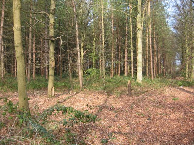
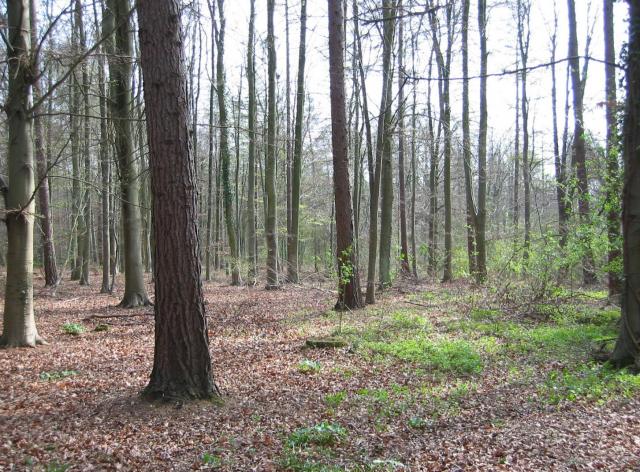
Square Wood is a charming forest located in Hertfordshire, England. It covers an area of approximately 100 acres and is nestled in the heart of the picturesque countryside. The woodland is predominantly made up of a mixture of broadleaf and coniferous trees, creating a diverse and vibrant ecosystem.

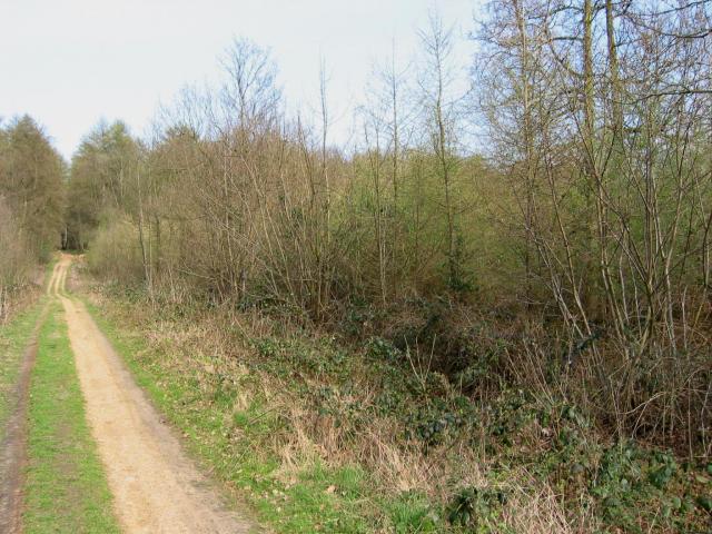
The forest offers a tranquil and peaceful environment, making it a popular destination for nature lovers, hikers, and birdwatchers. Its well-maintained footpaths and trails provide easy access for visitors to explore its beauty and take in the fresh air. The wood boasts a rich variety of flora and fauna, including oak, beech, and birch trees, as well as an array of wildflowers and ferns.

Square Wood is home to a wide range of wildlife, making it an ideal spot for wildlife enthusiasts. Visitors may encounter deer, foxes, rabbits, and a variety of bird species such as woodpeckers, owls, and thrushes. The forest also provides a habitat for smaller creatures like squirrels, badgers, and hedgehogs.

Throughout the year, Square Wood offers visitors the opportunity to witness the changing seasons in all their glory. In spring, the woodland bursts into life with vibrant blossoms and fresh green foliage. Summer brings a lush and verdant canopy, while autumn treats visitors to a stunning display of fiery reds, oranges, and yellows. In winter, the forest takes on a magical quality, with frost-covered branches and a peaceful stillness that adds to its allure.

Overall, Square Wood in Hertfordshire is a captivating woodland that offers a haven of natural beauty and tranquility, inviting visitors to reconnect with nature and escape the hustle and bustle of everyday life.

If you have any feedback on the listing, please let us know in the comments section below.
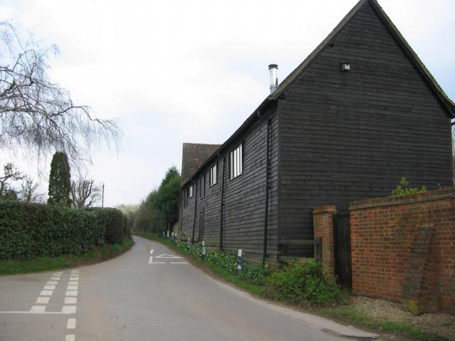
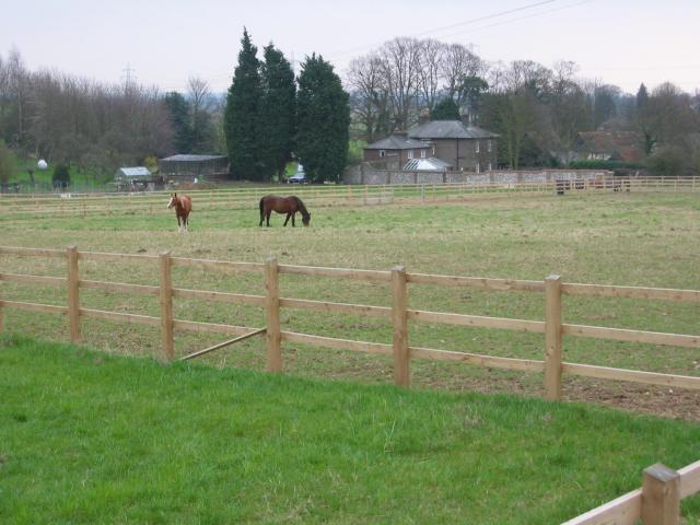
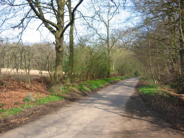
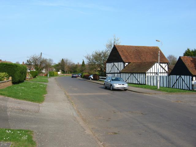
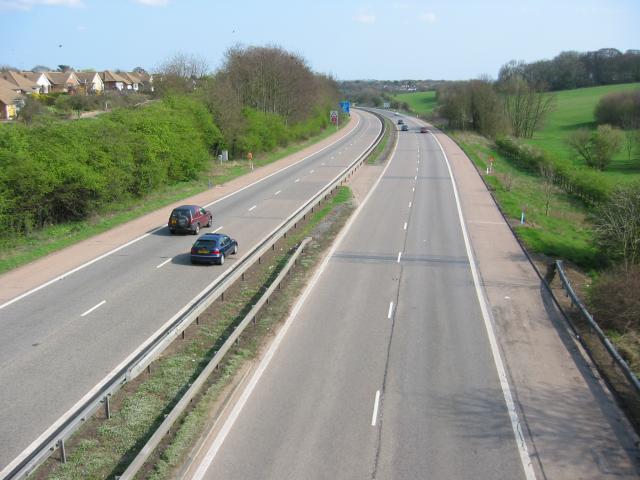
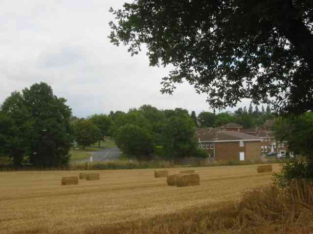
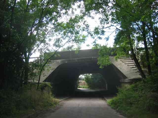
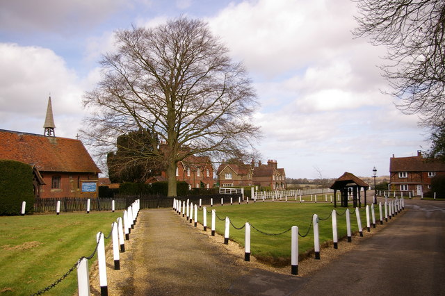
Square Wood Images

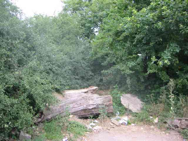
Images are sourced within 2km of 51.733259/-0.38007572 or Grid Reference TL1105. Thanks to Geograph Open Source API. All images are credited.

M1/M25 Junction It's noisy, hostile and bleak but the motorway junction occupies about half the entire grid square so is the dominating feature. Photo taken looking South down the M1 from the bridge at TL115038.
M1/M25 Junction
It's noisy, hostile and bleak but the motorway junction occupies about half the entire grid square so is the dominating feature. Photo taken looking South down the M1 from the bridge at TL115038.
Pylon and copse Looking North from TL117043, we see the power lines jump over a little copse. That's pretty much the most significant landmark in the grid square.
Pylon and copse
Looking North from TL117043, we see the power lines jump over a little copse. That's pretty much the most significant landmark in the grid square.
Farmland, farmland... Looking NW from the track at TL107064 by Hill End Farm (buildings at right).
Farmland, farmland...
Looking NW from the track at TL107064 by Hill End Farm (buildings at right).
The 'Holly Bush' at Potters Crouch The 'Holly Bush' pub at Potters Crouch: a village of about 4 houses.
And yes, Potters Crouch is its real name - I'm not making it up.
The 'Holly Bush' at Potters Crouch
The 'Holly Bush' pub at Potters Crouch: a village of about 4 houses. And yes, Potters Crouch is its real name - I'm not making it up.
Barn-like house, Potters Crouch Looking East into Potters Crouch on the road from Bedmond (at TL114052).
Barn-like house, Potters Crouch
Looking East into Potters Crouch on the road from Bedmond (at TL114052).
Potterscrouch Plantations Looking East from the forestry track in Potterscrouch Plantations at TL104047.
Potterscrouch Plantations
Looking East from the forestry track in Potterscrouch Plantations at TL104047.
Plantation Looking SW from the track through the woods at TL104047.
Plantation
Looking SW from the track through the woods at TL104047.
New growth in plantation Looking E along the track in the woods at about TL105053. Not the classiest woods, mind you - they seem to be a popular venue for fly-tipping and burning cars, to judge by patches of wreckage.
New growth in plantation
Looking E along the track in the woods at about TL105053. Not the classiest woods, mind you - they seem to be a popular venue for fly-tipping and burning cars, to judge by patches of wreckage.
Daneswick farm buildings Looking SE from TL122046
Daneswick farm buildings
Looking SE from TL122046
Road from Potters Crouch to Chiswell Green Looking East from TL123052 with copse on the right, open field and then woods on the left.
Road from Potters Crouch to Chiswell Green
Looking East from TL123052 with copse on the right, open field and then woods on the left.
Gateway to suburbia On the Western edge of Chiswell Green, having just left the farmland behind, looking East from TL131045.
Gateway to suburbia
On the Western edge of Chiswell Green, having just left the farmland behind, looking East from TL131045.
M10, from bridge. Looking East from the bridge over the M10 at TL137055.
M10, from bridge.
Looking East from the bridge over the M10 at TL137055.
M25 junction 21 This four-level stack junction dominates TL1103.
M25 junction 21
This four-level stack junction dominates TL1103.
A road in Chiswell Green The forest trees at least show that it has some attraction
A road in Chiswell Green
The forest trees at least show that it has some attraction
No Access by this route The log blocks what used to be a layby when the road was straightened but now it has been deleted for safety's sake
No Access by this route
The log blocks what used to be a layby when the road was straightened but now it has been deleted for safety's sake
The composting facility This establishment with the huge piles of composting material implies that the stuff isn't 
getting into the commercial circuit.
The composting facility
This establishment with the huge piles of composting material implies that the stuff isn't getting into the commercial circuit.
The edge of the town This view from Bedmond Lane shows the abrupt demarcation between housing estate and farmland.
The edge of the town
This view from Bedmond Lane shows the abrupt demarcation between housing estate and farmland.
Bridge over Beechtree Lane The design of this bridge carrying the M10 just before it merges with the M1 is typical of the period with the rustications
Bridge over Beechtree Lane
The design of this bridge carrying the M10 just before it merges with the M1 is typical of the period with the rustications
Show me another place!

Square Wood is located at Grid Ref: TL1105 (Lat: 51.733259, Lng: -0.38007572)

Administrative County: Hertfordshire

District: St. Albans

Police Authority: Hertfordshire

What 3 Words

///lofts.palms.guises. Near St Albans, Hertfordshire

Related Wikis

Nearby Amenities

Located within 500m of 51.733259,-0.38007572
Post Box
Collection Times: Mo-Fr 16:00; Sa 07:00
Operator: Royal Mail
Post Box Type: lamp
Ref: AL2 79
Royal Cypher: EIIR
Royal Cypher Wikidata: Q33102113
Lat/Long: 51.7346724/-0.3841552
Potters Crouch
Is In: Hertfordshire
Place: hamlet
Wikidata: Q7235316
Wikipedia: en:Potters Crouch
Lat/Long: 51.73441/-0.3846145
Direction: 160
Generator Method: photovoltaic
Generator Output Electricity: yes
Generator Solar Modules: 16
Generator Source: solar
Generator Type: solar_photovoltaic_panel
Location: ground
Power: generator
Lat/Long: 51.7344381/-0.3847085
Man Made: utility_pole
Lat/Long: 51.7343016/-0.3844449
Man Made: utility_pole
Lat/Long: 51.733059/-0.3839547
Man Made: utility_pole
Lat/Long: 51.7355601/-0.3853873
Man Made: utility_pole
Lat/Long: 51.7335712/-0.3841594
Communication Mobile Phone: yes
Communication Radio: yes
Man Made: mast
Tower Type: communication
Lat/Long: 51.7324196/-0.3830756
The data included in this document is from www.openstreetmap.org. The data is made available under ODbL.

Have you been to Square Wood?

Leave your review of Square Wood below (or comments, questions and feedback).