Potters Crouch

Settlement in Hertfordshire St. Albans

England

Potters Crouch

M1/M25 Junction It's noisy, hostile and bleak but the motorway junction occupies about half the entire grid square so is the dominating feature. Photo taken looking South down the M1 from the bridge at TL115038.
M1/M25 Junction Credit: Rob Hinkley

Potters Crouch is a small village located in the county of Hertfordshire, England. Situated approximately 4 miles northwest of the town of St Albans, Potters Crouch is a rural community known for its picturesque surroundings and rich history.

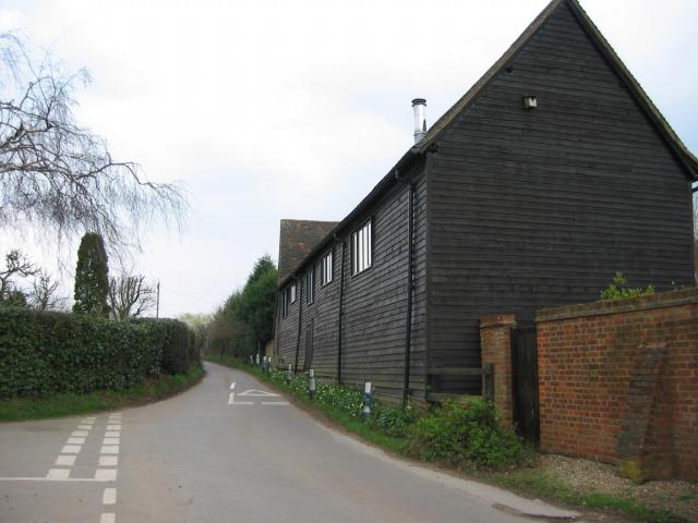
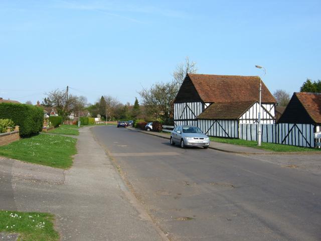
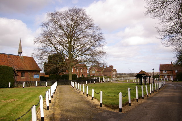
The village is characterized by its traditional English architecture, with many of its houses and buildings dating back several centuries. It is renowned for its charming thatched cottages, which add to the village's quaint and idyllic atmosphere.

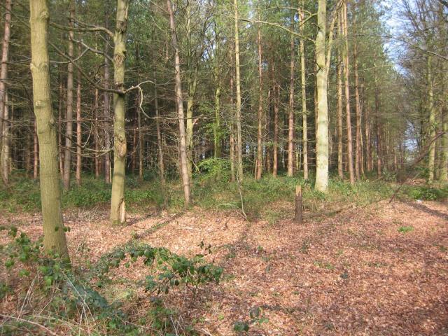
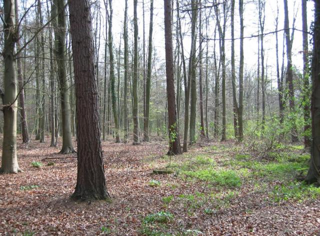
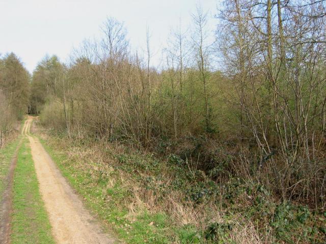
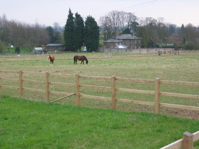
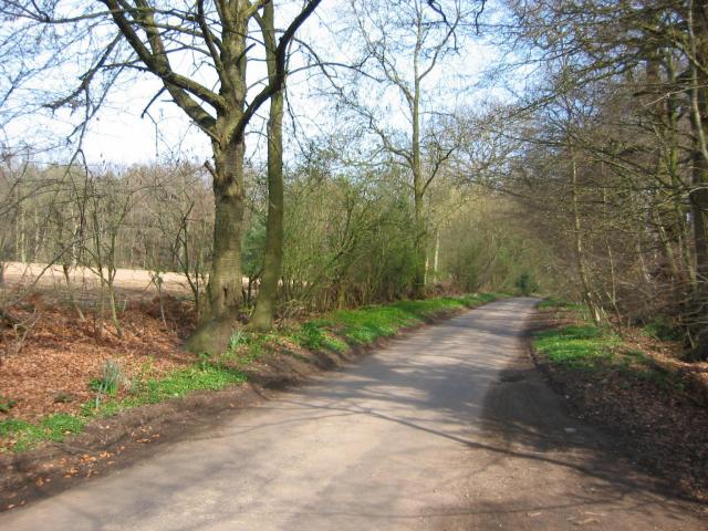
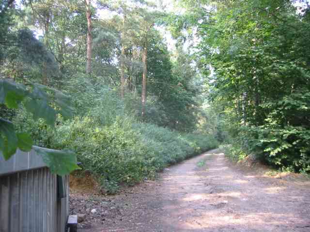
Potters Crouch is surrounded by lush green fields and woodlands, making it an ideal location for nature enthusiasts and those seeking a peaceful retreat. The village is also close to the River Ver, offering opportunities for fishing and leisurely walks along its banks.

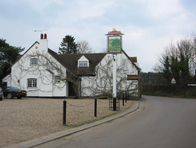
Despite its small size, Potters Crouch has a strong sense of community. The village is home to a local pub, The Crooked Chimney, which serves as a social hub for residents and visitors alike. Additionally, the village has a primary school, providing education for children in the area.

The location of Potters Crouch provides easy access to nearby attractions. The historic city of St Albans, with its Roman remains and medieval architecture, is just a short drive away. The village is also conveniently located near major road networks, allowing for easy travel to London and other parts of Hertfordshire.

Overall, Potters Crouch is a charming and serene village, offering both a glimpse into England's past and a peaceful escape from the bustle of city life.

If you have any feedback on the listing, please let us know in the comments section below.

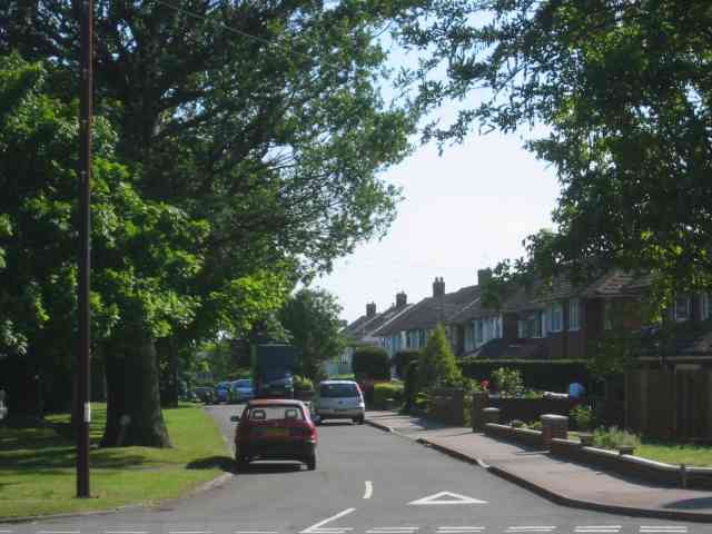
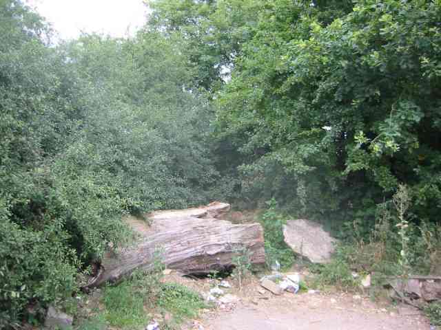
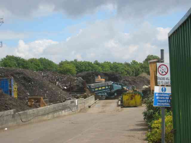
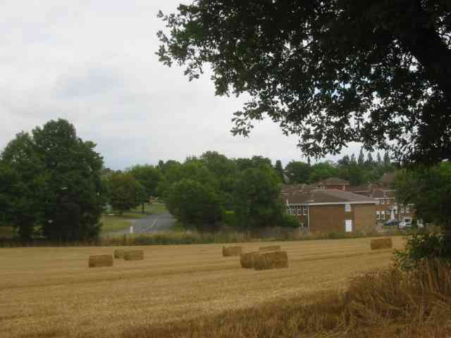
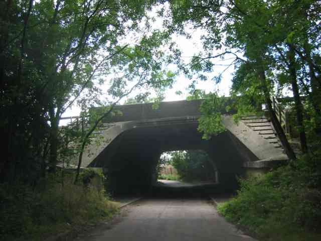
Potters Crouch Images

Images are sourced within 2km of 51.734709/-0.38413677 or Grid Reference TL1105. Thanks to Geograph Open Source API. All images are credited.

M1/M25 Junction It's noisy, hostile and bleak but the motorway junction occupies about half the entire grid square so is the dominating feature. Photo taken looking South down the M1 from the bridge at TL115038.
M1/M25 Junction
It's noisy, hostile and bleak but the motorway junction occupies about half the entire grid square so is the dominating feature. Photo taken looking South down the M1 from the bridge at TL115038.
Pylon and copse Looking North from TL117043, we see the power lines jump over a little copse. That's pretty much the most significant landmark in the grid square.
Pylon and copse
Looking North from TL117043, we see the power lines jump over a little copse. That's pretty much the most significant landmark in the grid square.
Farmland, farmland... Looking NW from the track at TL107064 by Hill End Farm (buildings at right).
Farmland, farmland...
Looking NW from the track at TL107064 by Hill End Farm (buildings at right).
The 'Holly Bush' at Potters Crouch The 'Holly Bush' pub at Potters Crouch: a village of about 4 houses.
And yes, Potters Crouch is its real name - I'm not making it up.
The 'Holly Bush' at Potters Crouch
The 'Holly Bush' pub at Potters Crouch: a village of about 4 houses. And yes, Potters Crouch is its real name - I'm not making it up.
Barn-like house, Potters Crouch Looking East into Potters Crouch on the road from Bedmond (at TL114052).
Barn-like house, Potters Crouch
Looking East into Potters Crouch on the road from Bedmond (at TL114052).
Potterscrouch Plantations Looking East from the forestry track in Potterscrouch Plantations at TL104047.
Potterscrouch Plantations
Looking East from the forestry track in Potterscrouch Plantations at TL104047.
Plantation Looking SW from the track through the woods at TL104047.
Plantation
Looking SW from the track through the woods at TL104047.
New growth in plantation Looking E along the track in the woods at about TL105053. Not the classiest woods, mind you - they seem to be a popular venue for fly-tipping and burning cars, to judge by patches of wreckage.
New growth in plantation
Looking E along the track in the woods at about TL105053. Not the classiest woods, mind you - they seem to be a popular venue for fly-tipping and burning cars, to judge by patches of wreckage.
Daneswick farm buildings Looking SE from TL122046
Daneswick farm buildings
Looking SE from TL122046
Road from Potters Crouch to Chiswell Green Looking East from TL123052 with copse on the right, open field and then woods on the left.
Road from Potters Crouch to Chiswell Green
Looking East from TL123052 with copse on the right, open field and then woods on the left.
Gateway to suburbia On the Western edge of Chiswell Green, having just left the farmland behind, looking East from TL131045.
Gateway to suburbia
On the Western edge of Chiswell Green, having just left the farmland behind, looking East from TL131045.
A road in Chiswell Green The forest trees at least show that it has some attraction
A road in Chiswell Green
The forest trees at least show that it has some attraction
No Access by this route The log blocks what used to be a layby when the road was straightened but now it has been deleted for safety's sake
No Access by this route
The log blocks what used to be a layby when the road was straightened but now it has been deleted for safety's sake
The composting facility This establishment with the huge piles of composting material implies that the stuff isn't 
getting into the commercial circuit.
The composting facility
This establishment with the huge piles of composting material implies that the stuff isn't getting into the commercial circuit.
The edge of the town This view from Bedmond Lane shows the abrupt demarcation between housing estate and farmland.
The edge of the town
This view from Bedmond Lane shows the abrupt demarcation between housing estate and farmland.
Bridge over Beechtree Lane The design of this bridge carrying the M10 just before it merges with the M1 is typical of the period with the rustications
Bridge over Beechtree Lane
The design of this bridge carrying the M10 just before it merges with the M1 is typical of the period with the rustications
Private Road into Prae Wood off  A 4147 The impression given is that a timber conversion plant is just beyond the turn. This is the Gorhambury Estate.
Private Road into Prae Wood off A 4147
The impression given is that a timber conversion plant is just beyond the turn. This is the Gorhambury Estate.
Searches Farm Searches Lane Bedmont. This is located down a single track lane BUT close to the motorway
Searches Farm Searches Lane Bedmont.
This is located down a single track lane BUT close to the motorway
Show me another place!

Potters Crouch is located at Grid Ref: TL1105 (Lat: 51.734709, Lng: -0.38413677)

Administrative County: Hertfordshire

District: St. Albans

Police Authority: Hertfordshire

What 3 Words

///olive.melt.maybe. Near St Albans, Hertfordshire

Related Wikis

Potters Crouch

Potters Crouch is a small hamlet in Hertfordshire, England, south-west of St Albans near Chiswell Green. It is in the civil parish of St Michael. ��2...

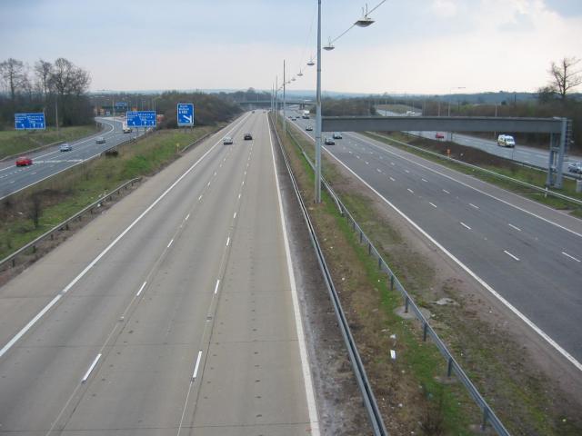
M10 motorway (Great Britain)

The M10 was a motorway in Hertfordshire, England, running for approximately 3 miles (4.5 km) from the M1 motorway at junction 7 near Hemel Hempstead to...

Royal National Rose Society Gardens

The Royal National Rose Society Gardens, also known as The Gardens of The Rose, were the gardens and headquarters of The Royal National Rose Society at...

Butterfly World, Hertfordshire

The Butterfly World Project was a visitor attraction in the village of Chiswell Green, on the outskirts of St Albans in Hertfordshire, UK, dedicated to...

International Crown

The Hanwha LifePlus International Crown is a biennial women's professional team golf tournament on the LPGA Tour. Eight national teams of four players...

St Stephen, Hertfordshire

St Stephen is a civil parish in the St Albans City and District in Hertfordshire, England. It is located approximately 17 miles (27 km) north-northwest...

Centurion Club

The Centurion Club is a golf club in Hemel Hempstead in Hertfordshire. The club opened in 2013. It has hosted the GolfSixes series in 2017 and 2018 and...

St Michael, Hertfordshire

St Michael is a civil parish in the St Albans district in Hertfordshire, England. The parish is named after but no longer includes St Michael's Church...

Nearby Amenities

Located within 500m of 51.734709,-0.38413677
Post Box
Collection Times: Mo-Fr 16:00; Sa 07:00
Operator: Royal Mail
Post Box Type: lamp
Ref: AL2 79
Royal Cypher: EIIR
Royal Cypher Wikidata: Q33102113
Lat/Long: 51.7346724/-0.3841552
Power: tower
Lat/Long: 51.7314755/-0.3877634
Power: tower
Lat/Long: 51.7337772/-0.3904413
Potters Crouch
Is In: Hertfordshire
Place: hamlet
Wikidata: Q7235316
Wikipedia: en:Potters Crouch
Lat/Long: 51.73441/-0.3846145
Direction: 160
Generator Method: photovoltaic
Generator Output Electricity: yes
Generator Solar Modules: 16
Generator Source: solar
Generator Type: solar_photovoltaic_panel
Location: ground
Power: generator
Lat/Long: 51.7344381/-0.3847085
Man Made: utility_pole
Lat/Long: 51.7361736/-0.3860442
Man Made: utility_pole
Lat/Long: 51.7374967/-0.387774
Man Made: utility_pole
Lat/Long: 51.7368171/-0.3867452
Man Made: utility_pole
Lat/Long: 51.7378471/-0.3890923
Man Made: utility_pole
Lat/Long: 51.7343016/-0.3844449
Man Made: utility_pole
Lat/Long: 51.733059/-0.3839547
Man Made: utility_pole
Lat/Long: 51.7355601/-0.3853873
Man Made: utility_pole
Lat/Long: 51.7376746/-0.388454
Man Made: utility_pole
Lat/Long: 51.7335712/-0.3841594
Communication Mobile Phone: yes
Communication Radio: yes
Man Made: mast
Tower Type: communication
Lat/Long: 51.7324196/-0.3830756
The data included in this document is from www.openstreetmap.org. The data is made available under ODbL.

Have you been to Potters Crouch?

Leave your review of Potters Crouch below (or comments, questions and feedback).