Birch Wood
Wood, Forest in Hertfordshire St. Albans
England
Birch Wood
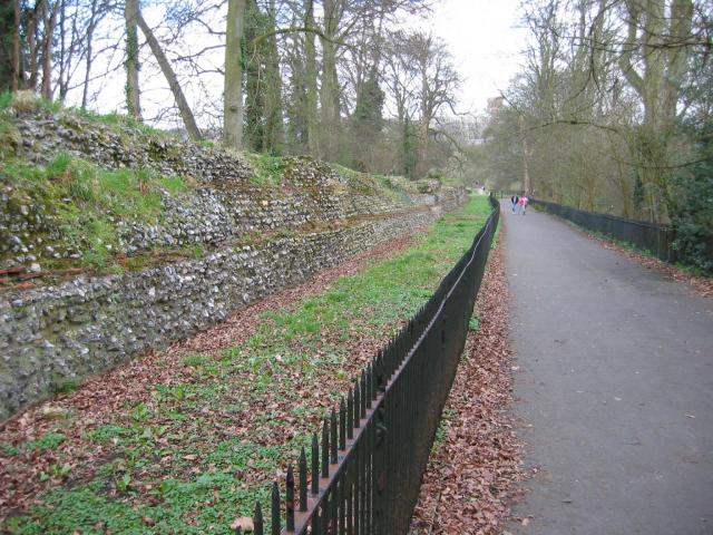
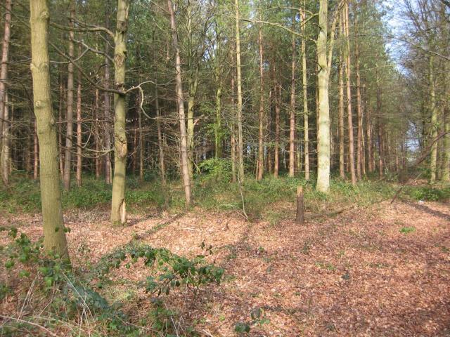
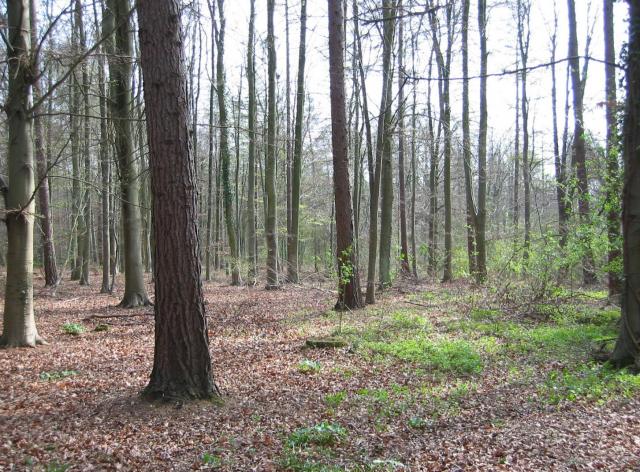
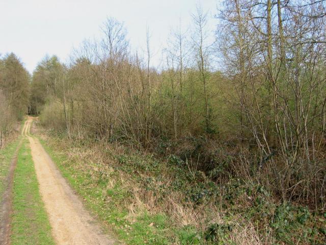
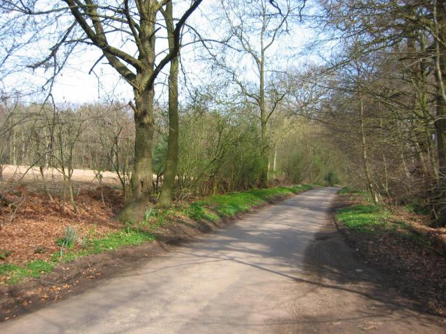
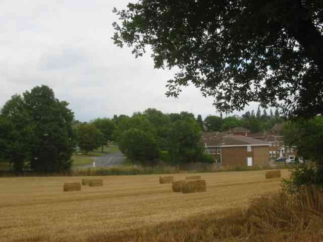
Birch Wood is a picturesque forest located in Hertfordshire, England. Covering an area of approximately 100 acres, it is a popular destination for nature enthusiasts and outdoor adventurers alike. The wood is predominantly composed of birch trees, from which it derives its name, but it also features a diverse range of other tree species such as oak, beech, and pine, creating a rich and varied ecosystem.
The forest is known for its tranquil atmosphere and stunning natural beauty. Walking through Birch Wood, visitors are treated to a symphony of sounds, with birds chirping and leaves rustling in the gentle breeze. The forest floor is carpeted with a vibrant array of wildflowers and ferns, adding a burst of color to the surroundings.
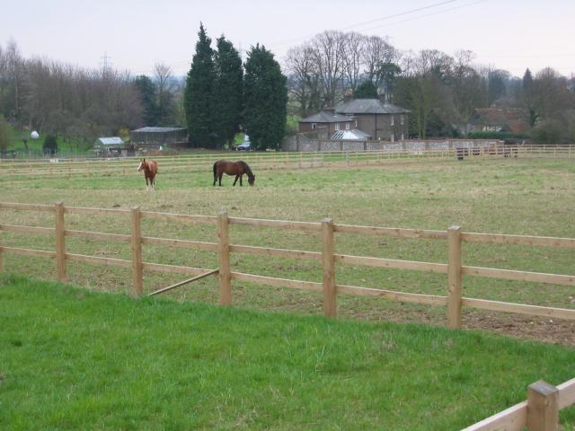
Birch Wood is not only a haven for wildlife, but also a recreational area for locals and tourists. It offers a network of well-maintained walking trails that meander through the forest, allowing visitors to explore and appreciate its natural wonders. These trails cater to various abilities, from leisurely strolls to more challenging hikes.
The wood is also home to a number of picnic areas, making it an ideal spot for families and friends to gather and enjoy a day out in nature. Additionally, there are designated areas for wildlife observation and photography, providing opportunities for nature enthusiasts to capture the beauty of the wood's inhabitants.
Overall, Birch Wood in Hertfordshire offers a peaceful retreat from the hustle and bustle of everyday life, inviting visitors to immerse themselves in the serenity and splendor of nature.
If you have any feedback on the listing, please let us know in the comments section below.
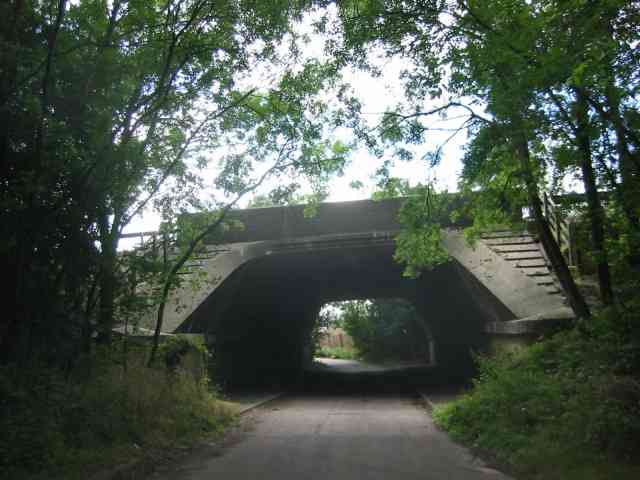
Birch Wood Images
Images are sourced within 2km of 51.738783/-0.38026924 or Grid Reference TL1105. Thanks to Geograph Open Source API. All images are credited.
Birch Wood is located at Grid Ref: TL1105 (Lat: 51.738783, Lng: -0.38026924)
Administrative County: Hertfordshire
District: St. Albans
Police Authority: Hertfordshire
What 3 Words
///gives.clip.tribal. Near St Albans, Hertfordshire
Nearby Locations
Related Wikis

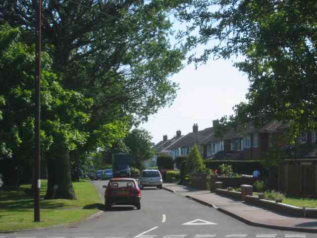
Potters Crouch
Potters Crouch is a small hamlet in Hertfordshire, England, south-west of St Albans near Chiswell Green. It is in the civil parish of St Michael. ��2...

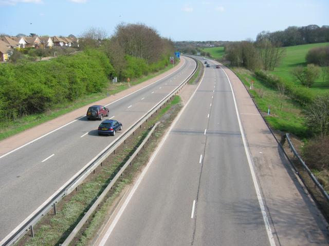
M10 motorway (Great Britain)
The M10 was a motorway in Hertfordshire, England, running for approximately 3 miles (4.5 km) from the M1 motorway at junction 7 near Hemel Hempstead to...

Royal National Rose Society Gardens
The Royal National Rose Society Gardens, also known as The Gardens of The Rose, were the gardens and headquarters of The Royal National Rose Society at...

St Stephen, Hertfordshire
St Stephen is a civil parish in the St Albans City and District in Hertfordshire, England. It is located approximately 17 miles (27 km) north-northwest...
St Michael, Hertfordshire
St Michael is a civil parish in the St Albans district in Hertfordshire, England. The parish is named after but no longer includes St Michael's Church...

Butterfly World, Hertfordshire
The Butterfly World Project was a visitor attraction in the village of Chiswell Green, on the outskirts of St Albans in Hertfordshire, UK, dedicated to...

Verlamion
Verlamion, or Verlamio, was a settlement in Iron Age Britain. It was a major centre of the Catuvellauni tribe from about 20 BC until shortly after the...
International Crown
The Hanwha LifePlus International Crown is a biennial women's professional team golf tournament on the LPGA Tour. Eight national teams of four players...
Nearby Amenities
Located within 500m of 51.738783,-0.38026924Have you been to Birch Wood?
Leave your review of Birch Wood below (or comments, questions and feedback).