The Oaks
Wood, Forest in Sussex Worthing
England
The Oaks
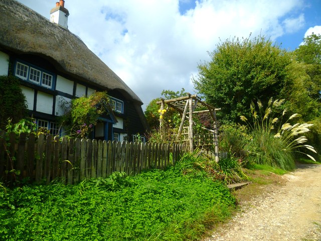
![View west across Nepcote Green The building on the left is the Wattle House. It dates from the end of the 1700s when it was used to store wattle hurdles for the sheep pens used during the annual sheep fair. [<span class="nowrap"><a title="https://fancyfreewalks.org/W.Sussex/Findon.pdf" rel="nofollow ugc noopener" href="https://fancyfreewalks.org/W.Sussex/Findon.pdf">Link</a><img style="margin-left:2px;" alt="External link" title="External link - shift click to open in new window" src="https://s1.geograph.org.uk/img/external.png" width="10" height="10"/></span>]](https://s3.geograph.org.uk/geophotos/07/64/87/7648795_e513f30a.jpg)
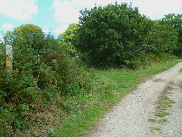
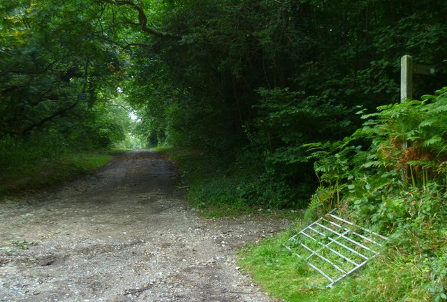
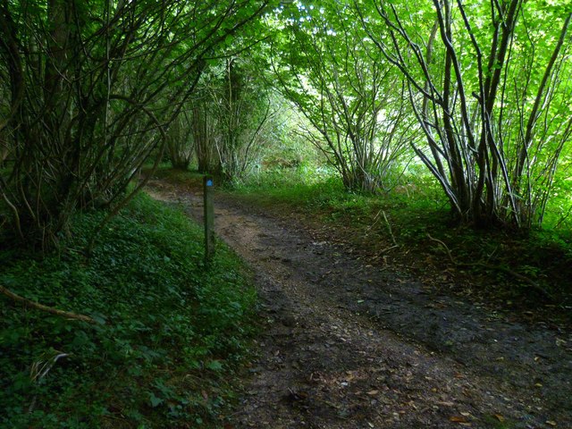
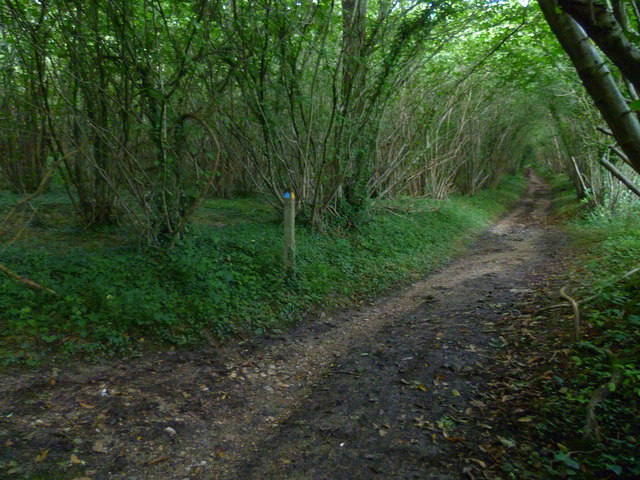
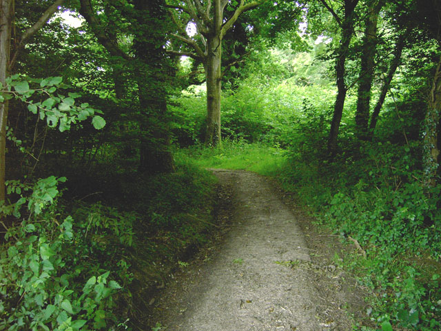
The Oaks, Sussex is a serene and picturesque woodland area located in the southern region of England. Covering an expansive area, The Oaks is renowned for its dense, ancient forest filled with a variety of magnificent oak trees, hence its name. The woodland is nestled within the beautiful county of Sussex, which is known for its rolling hills, charming villages, and rich history.
The Oaks offers visitors a tranquil escape from the bustling city life, providing a haven for nature enthusiasts and outdoor adventurers. The forest boasts a diverse range of wildlife, including deer, birds, and various species of flora and fauna. It is a perfect location for birdwatching and nature photography.
The woodland features well-maintained trails that wind through the forest, allowing visitors to explore its hidden treasures. Along these paths, one can discover breathtaking viewpoints, ancient ruins, and babbling streams. The Oaks also offers designated picnic areas, inviting visitors to relax and enjoy the peaceful surroundings.
In addition to its natural beauty, The Oaks has historical significance. It is believed that the forest has been in existence for centuries, with some of the oak trees estimated to be several hundred years old. The area has witnessed significant events throughout history and is often associated with folklore and legends.
Overall, The Oaks, Sussex is a captivating woodland that offers a unique blend of natural splendor, tranquility, and historical charm. It is a must-visit destination for those seeking a peaceful retreat in the heart of nature.
If you have any feedback on the listing, please let us know in the comments section below.
The Oaks Images
Images are sourced within 2km of 50.854243/-0.42056468 or Grid Reference TQ1107. Thanks to Geograph Open Source API. All images are credited.

The Oaks is located at Grid Ref: TQ1107 (Lat: 50.854243, Lng: -0.42056468)
Administrative County: West Sussex
District: Worthing
Police Authority: Sussex
What 3 Words
///price.lotteries.racetrack. Near Findon, West Sussex
Nearby Locations
Related Wikis

Church Hill, West Sussex
Church Hill is an archaeological site, of the Neolithic and Bronze Age periods, in West Sussex, England. It is on the South Downs near the village of Findon...

High Salvington
High Salvington is a neighbourhood of Worthing, in the borough of Worthing in West Sussex, England. It is centred 2.5 miles (4.0 km) northwest of the town...
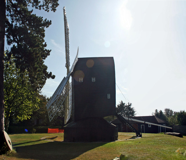
High Salvington Windmill
Durrington or High Salvington Windmill is a Grade II listed post mill in High Salvington, Sussex that has been restored and is in full working order....

Cote, West Sussex
Cote (also Walcote or Coate) was a hamlet in the former parish of Durrington, West Sussex (now a suburb of Worthing), England. It is 3.25 miles (5.23 km...
Clapham Wood
Clapham Wood is a woodland area in Clapham, West Sussex, England, which Fortean authors and paranormal enthusiasts believe to be a locus of UFO sightings...

Findon Valley
Findon Valley is a neighbourhood of Worthing, in the borough of Worthing in West Sussex, England. It lies on the A24 road 2.9 miles (4.7 km) north of the...

Findon, West Sussex
Findon is a semi-rural clustered village and civil parish in the Arun District of West Sussex, England, 4 miles (6.4 km) north of Worthing. == Governance... ==
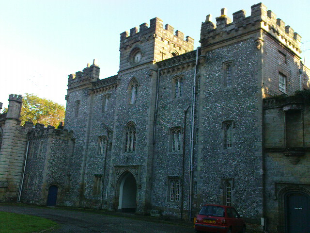
Castle Goring
Castle Goring is a Grade I listed country house in Worthing, in West Sussex, England about 4.5 miles (7 kilometres) northwest of the town centre. One of...
Have you been to The Oaks?
Leave your review of The Oaks below (or comments, questions and feedback).