New Plantation
Wood, Forest in Sussex Worthing
England
New Plantation
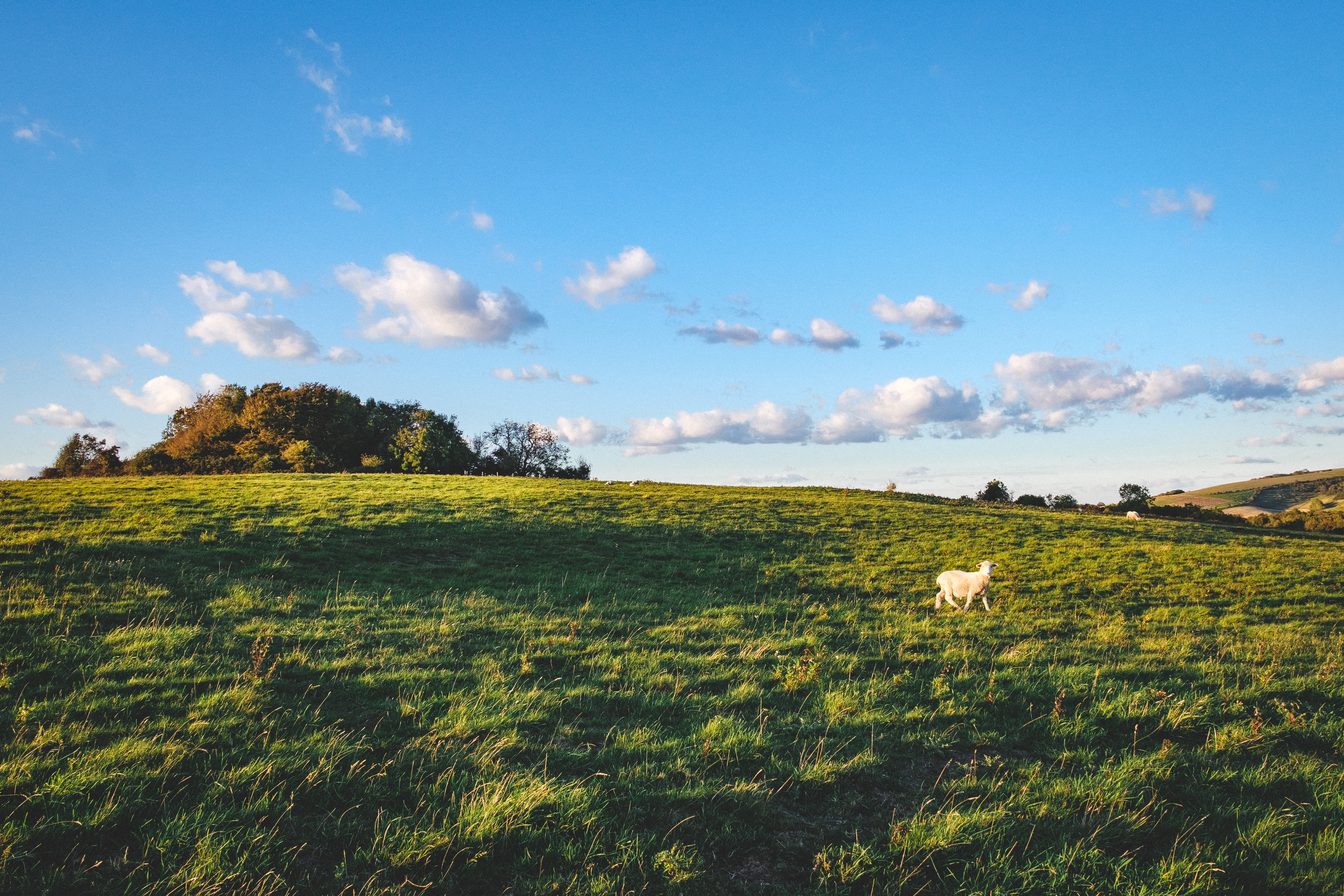
![View west across Nepcote Green The building on the left is the Wattle House. It dates from the end of the 1700s when it was used to store wattle hurdles for the sheep pens used during the annual sheep fair. [<span class="nowrap"><a title="https://fancyfreewalks.org/W.Sussex/Findon.pdf" rel="nofollow ugc noopener" href="https://fancyfreewalks.org/W.Sussex/Findon.pdf">Link</a><img style="margin-left:2px;" alt="External link" title="External link - shift click to open in new window" src="https://s1.geograph.org.uk/img/external.png" width="10" height="10"/></span>]](https://s3.geograph.org.uk/geophotos/07/64/87/7648795_e513f30a.jpg)
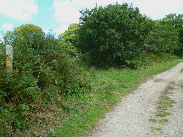
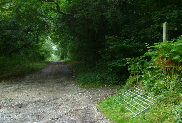
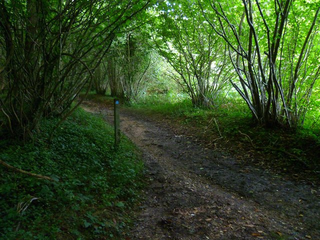
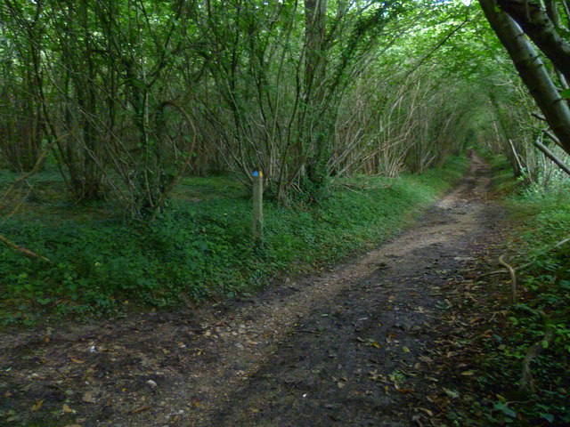
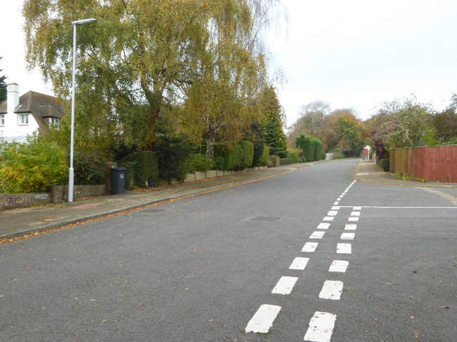
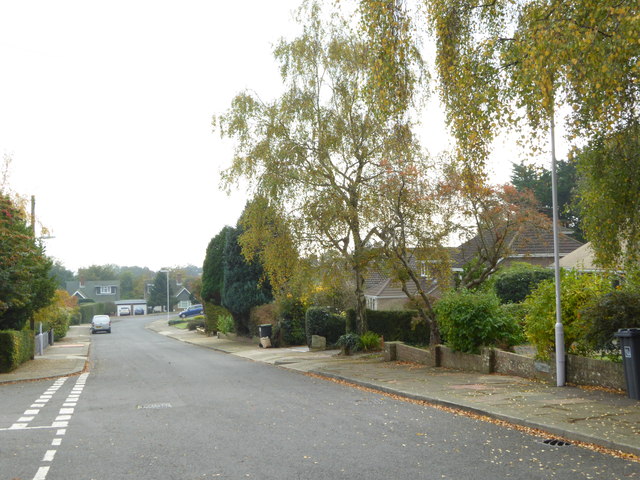
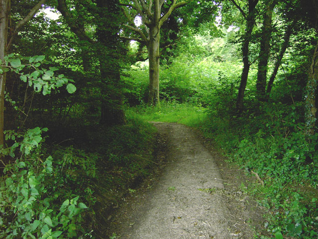
New Plantation, Sussex, also known as Wood or Forest, is a picturesque and serene location situated in the county of Sussex, England. This charming woodland area covers approximately 200 acres, offering a haven for nature enthusiasts and outdoor lovers alike.
The plantation is characterized by its dense and lush forest, comprising a variety of tree species such as oak, beech, and pine. The towering trees provide a sheltered canopy, creating a cool and tranquil atmosphere within the woodland. The forest floor is covered with a carpet of vibrant green moss and a diverse range of wildflowers, adding to the enchanting beauty of the area.
New Plantation is a haven for wildlife, offering a sanctuary for numerous species of birds, mammals, and insects. Birdwatchers can spot a variety of species, including woodpeckers, owls, and finches, while keen-eyed observers might catch a glimpse of squirrels, rabbits, or even deer roaming freely through the woods.
The plantation also boasts a network of well-maintained walking trails, allowing visitors to explore the area at their leisure. These trails wind through the woodland, providing opportunities for peaceful strolls, invigorating hikes, or even leisurely picnics amidst the natural beauty.
With its idyllic setting and abundant wildlife, New Plantation, Sussex offers a peaceful retreat from the hustle and bustle of daily life. Whether it's a family outing, a romantic walk, or simply a desire to immerse oneself in nature, this enchanting woodland is sure to leave visitors feeling refreshed and rejuvenated.
If you have any feedback on the listing, please let us know in the comments section below.
New Plantation Images
Images are sourced within 2km of 50.857967/-0.41867701 or Grid Reference TQ1107. Thanks to Geograph Open Source API. All images are credited.


New Plantation is located at Grid Ref: TQ1107 (Lat: 50.857967, Lng: -0.41867701)
Administrative County: West Sussex
District: Worthing
Police Authority: Sussex
What 3 Words
///waking.fluctuate.secures. Near Findon, West Sussex
Nearby Locations
Related Wikis

Church Hill, West Sussex
Church Hill is an archaeological site, of the Neolithic and Bronze Age periods, in West Sussex, England. It is on the South Downs near the village of Findon...

High Salvington
High Salvington is a neighbourhood of Worthing, in the borough of Worthing in West Sussex, England. It is centred 2.5 miles (4.0 km) northwest of the town...
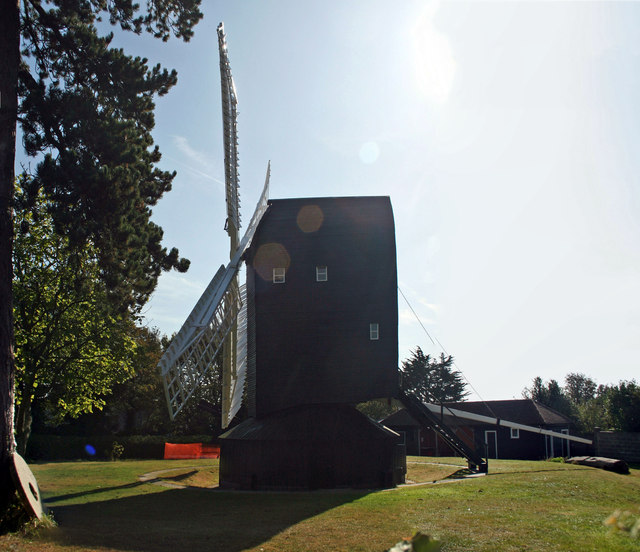
High Salvington Windmill
Durrington or High Salvington Windmill is a Grade II listed post mill in High Salvington, Sussex that has been restored and is in full working order....

Findon, West Sussex
Findon is a semi-rural clustered village and civil parish in the Arun District of West Sussex, England, 4 miles (6.4 km) north of Worthing. == Governance... ==

Findon Valley
Findon Valley is a neighbourhood of Worthing, in the borough of Worthing in West Sussex, England. It lies on the A24 road 2.9 miles (4.7 km) north of the...
Clapham Wood
Clapham Wood is a woodland area in Clapham, West Sussex, England, which Fortean authors and paranormal enthusiasts believe to be a locus of UFO sightings...
Muntham Court Romano-British site
The Muntham Court Romano-British site is an archeological site situated on the western edge of the village of Findon in West Sussex. It is a Scheduled...

Cote, West Sussex
Cote (also Walcote or Coate) was a hamlet in the former parish of Durrington, West Sussex (now a suburb of Worthing), England. It is 3.25 miles (5.23 km...
Have you been to New Plantation?
Leave your review of New Plantation below (or comments, questions and feedback).