Church Wood

Wood, Forest in Sussex Horsham

England

Church Wood

Cottage on Rowner Road, Billingshurst
Cottage on Rowner Road, Billingshurst Credit: David Howard

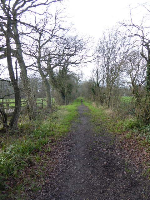
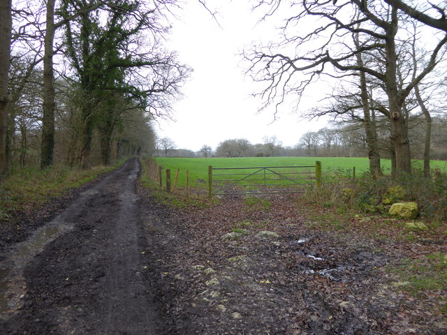
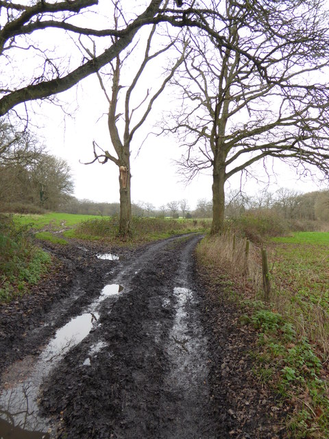
Church Wood is a picturesque woodland located in Sussex, England. Spread over an area of approximately 30 hectares, it is known for its diverse range of flora and fauna, making it a popular destination for nature enthusiasts and hikers alike.

The woodland is predominantly composed of broadleaf trees such as oak, beech, and ash, which create a dense canopy that provides shade and shelter to the forest floor. Bluebells, wild garlic, and wood anemones carpet the ground during the spring, creating a stunning display of vibrant colors.

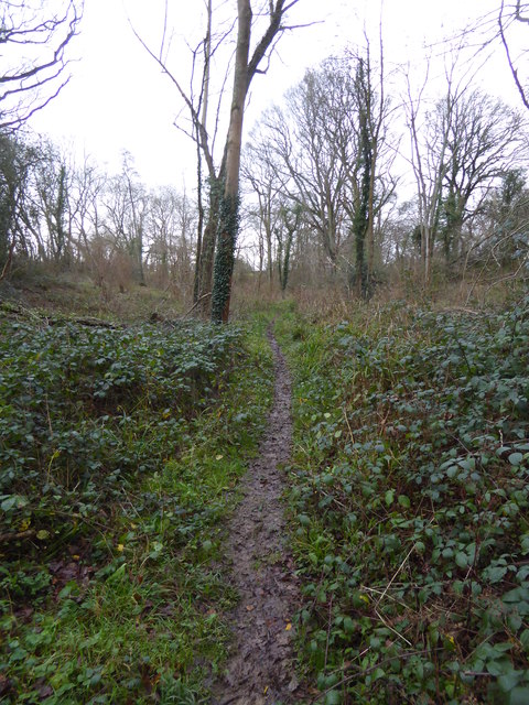
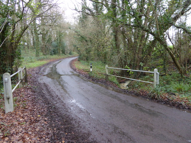
The wood is intersected by numerous footpaths and trails, allowing visitors to explore its beauty at their own pace. The trails wind through the trees, offering glimpses of sunlight filtering through the foliage and providing a sense of tranquility and serenity. One of the notable features of the woodland is its ancient trees, some of which are estimated to be several hundred years old.

The diverse range of wildlife found in Church Wood is another highlight of the area. Visitors may spot various bird species, including woodpeckers, owls, and thrushes. Squirrels, foxes, and deer are also commonly seen. The wood is home to a variety of insects, with butterflies and dragonflies adding dashes of color to the surroundings.

Church Wood is best experienced during the spring and summer months when the woodland is in full bloom. Its accessibility, natural beauty, and rich biodiversity make it a cherished gem in Sussex's natural landscape.

If you have any feedback on the listing, please let us know in the comments section below.
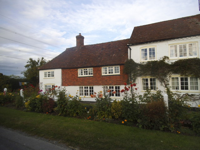
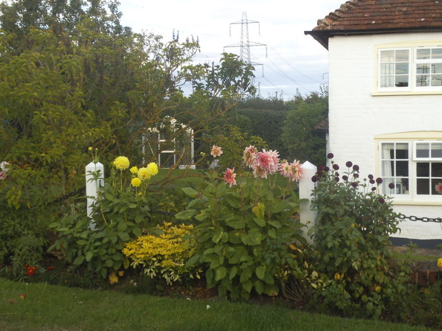
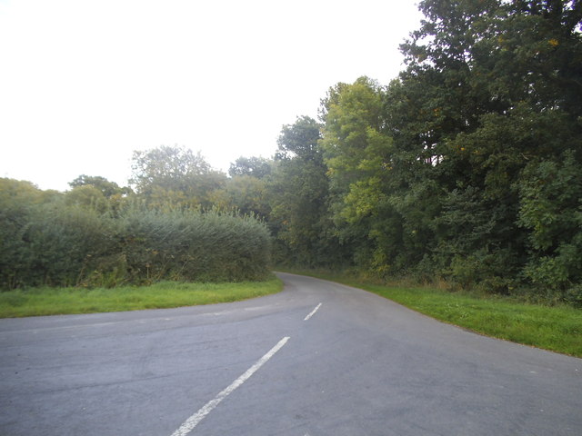
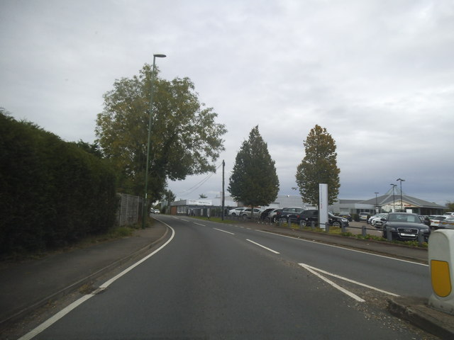
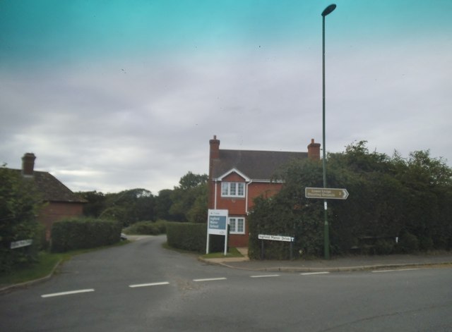
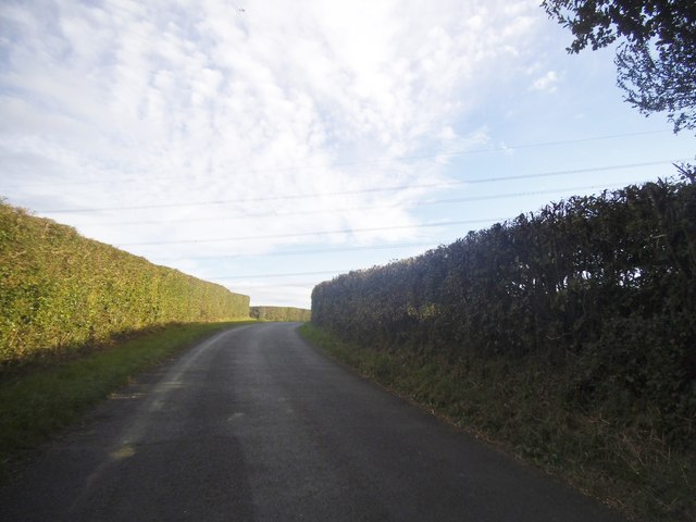
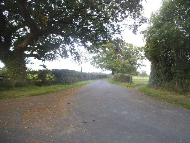
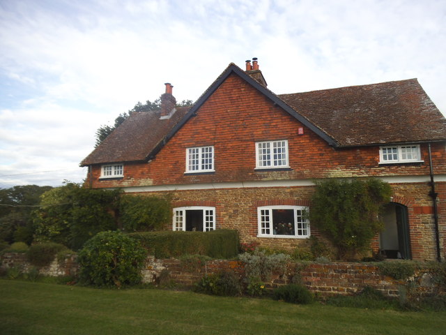
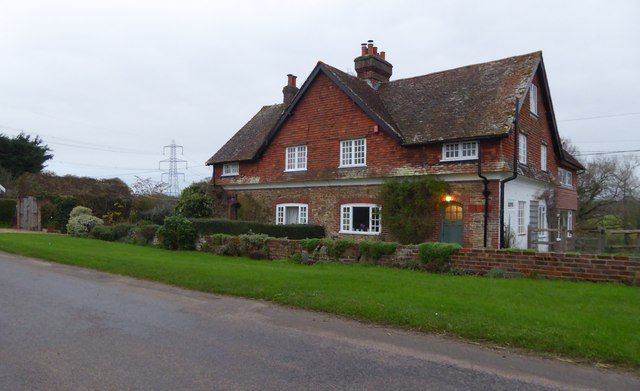
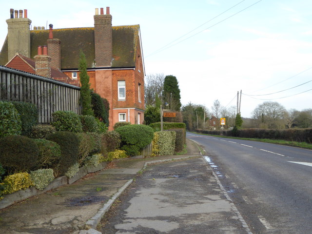
Church Wood Images

Images are sourced within 2km of 51.032504/-0.44276548 or Grid Reference TQ0927. Thanks to Geograph Open Source API. All images are credited.

Cottage on Rowner Road, Billingshurst
Cottage garden on Rowner Road
Okehurst Lane
Okehurst Lane
Stane Street looking towards Harwoods Audi garage
Ingfield Manor Drive at the junction of Stane Street
Rowner Road, Billingshurst
The road to Tedfold Farm, Billingshurst
House on Rowner Road, Billingshurst
Cottages on Rowner Road See also <a title="https://www.geograph.org.uk/photo/4662378" href="https://www.geograph.org.uk/photo/4662378">Link</a>.
Cottages on Rowner Road
See also Link.
Houses on Rowner Road
Footpath in The Hanger
Rowner Road bridges stream
Bed and Breakfast at Five Oaks Farm See <a title="https://www.geograph.org.uk/photo/1594129" href="https://www.geograph.org.uk/photo/1594129">Link</a> from 2009.
Bed and Breakfast at Five Oaks Farm
See Link from 2009.
Bridleway goes west from Five Oaks Farm
Bridleway going east through Ingfield Manor School
Bridleway goes west near Ingfield Manor School
Bridleway bends right at field corner
A272 approaching Billingshurst The A272 is a very rural A road, which follows an east to west route from near Heathfield to Winchester, passing through the Sussex countryside. It runs 86 miles from Sutton Scotney to Five Ashes <a href="https://www.geograph.org.uk/photo/6669405">TQ5523 : A267, A272 junction</a>.
<span class="nowrap"><a title="http://www.sabre-roads.org.uk/wiki/index.php?title=A272" rel="nofollow ugc noopener" href="http://www.sabre-roads.org.uk/wiki/index.php?title=A272">Link</a><img style="margin-left:2px;" alt="External link" title="External link - shift click to open in new window" src="https://s1.geograph.org.uk/img/external.png" width="10" height="10"/></span> 
Wikipedia: <span class="nowrap"><a title="http://en.wikipedia.org/wiki/A272_road" rel="nofollow ugc noopener" href="http://en.wikipedia.org/wiki/A272_road">Link</a><img style="margin-left:2px;" alt="External link" title="External link - shift click to open in new window" src="https://s1.geograph.org.uk/img/external.png" width="10" height="10"/></span>
A272 approaching Billingshurst
The A272 is a very rural A road, which follows an east to west route from near Heathfield to Winchester, passing through the Sussex countryside. It runs 86 miles from Sutton Scotney to Five Ashes TQ5523 : A267, A272 junction. LinkExternal link Wikipedia: LinkExternal link
Show me another place!

Church Wood is located at Grid Ref: TQ0927 (Lat: 51.032504, Lng: -0.44276548)

Administrative County: West Sussex

District: Horsham

Police Authority: Sussex

What 3 Words

///standard.trades.poorly. Near Billingshurst, West Sussex

Related Wikis

Billingshurst

Billingshurst is a village and civil parish in the Horsham District of West Sussex, England. The village lies on the A29 road (the Roman Stane Street)...

Billingshurst F.C.

Billingshurst Football Club is a football club based in Billingshurst, West Sussex, England. They are currently members of the Southern Combination Division...

Billingshurst Unitarian Chapel

Billingshurst Unitarian Chapel is a place of worship in Billingshurst in the English county of West Sussex. The cottage-like building was erected in 1754...

Five Oaks

Five Oaks is a large hamlet in the Horsham District of West Sussex, England. It lies about 1.7 miles (2.8 km) north of Billingshurst on the Roman road...

Coppedhall Hanger

Coppedhall Hanger is a 0.6-hectare (1.5-acre) geological Site of Special Scientific Interest north of Billingshurst in West Sussex. It is a Geological...

The Weald School

The Weald School is a coeducational secondary school and sixth form. It caters for around 1,700 pupils in years 7 to 13, including over 300 in its sixth...

Billingshurst railway station

Billingshurst Railway Station serves the market town of Billingshurst, in West Sussex, England. It is on the Arun Valley Line 44 miles 71 chains (72.2...

The Haven, West Sussex

The Haven is a rural hamlet in West Sussex, south east England located about 7 miles to the west of Horsham.The Haven is primarily an agricultural area...

Nearby Amenities

Located within 500m of 51.032504,-0.44276548
Bus Stop
Sothebys
Bus: yes
Naptan AtcoCode: 4400HR0134
Naptan Bearing: NE
Naptan CommonName: Sothebys
Naptan Indicator: opp Sothebys
Naptan Landmark: Sotheby's
Naptan NaptanCode: wsxatmgj
Naptan Street: A29
Naptan Verified: no
Public Transport: platform
Source: naptan_import
Lat/Long: 51.034131/-0.4432172
Bus Stop
A29 Barns Green Junction
Bus: yes
Naptan AtcoCode: 4400HR0135
Naptan Bearing: SW
Naptan CommonName: A29 Barns Green Junction
Naptan Indicator: adj New Road
Naptan Landmark: New Road
Naptan NaptanCode: wsxatmgm
Naptan Street: A29
Naptan Verified: no
Public Transport: platform
Source: naptan_import
Lat/Long: 51.0293033/-0.446662
Bus Stop
A29 New Road
Bench: no
Bus: yes
Naptan AtcoCode: 4400HR0136
Naptan Bearing: S
Naptan CommonName: A29 New Road
Naptan Indicator: opp New Road
Naptan Landmark: New Road
Naptan NaptanCode: wsxatmgp
Naptan Street: A29
Naptan Verified: yes
Note: may have a new name since the ind estate has been built
Public Transport: platform
Shelter: no
Source: naptan_import
Lat/Long: 51.0298556/-0.4464157
Power: tower
Lat/Long: 51.0296057/-0.4459217
Summers Place
Place: isolated_dwelling
Lat/Long: 51.033701/-0.4401479
Summers Place Auctions
Shop: yes
Lat/Long: 51.0329393/-0.4399479
The data included in this document is from www.openstreetmap.org. The data is made available under ODbL.

Have you been to Church Wood?

Leave your review of Church Wood below (or comments, questions and feedback).