The Rookery
Wood, Forest in Sussex Horsham
England
The Rookery
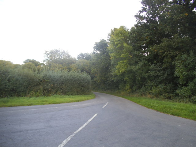
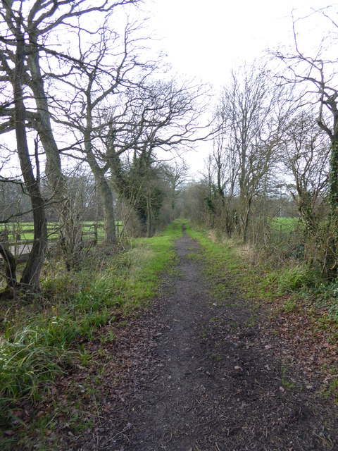
The Rookery, located in Sussex, England, is an enchanting woodland forest known for its distinct charm and natural beauty. Covering an area of approximately 100 acres, this ancient woodland is home to a diverse range of flora and fauna, making it a popular destination for nature enthusiasts and wildlife lovers alike.
The forest is characterized by its dense canopy of towering oak, beech, and ash trees, which provide a sheltered haven for a variety of woodland creatures. Squirrels scuttle amongst the branches, while rabbits and deer can often be spotted grazing on the forest floor. The Rookery is also renowned for its rich birdlife, with species such as woodpeckers, owls, and various songbirds calling the forest home.
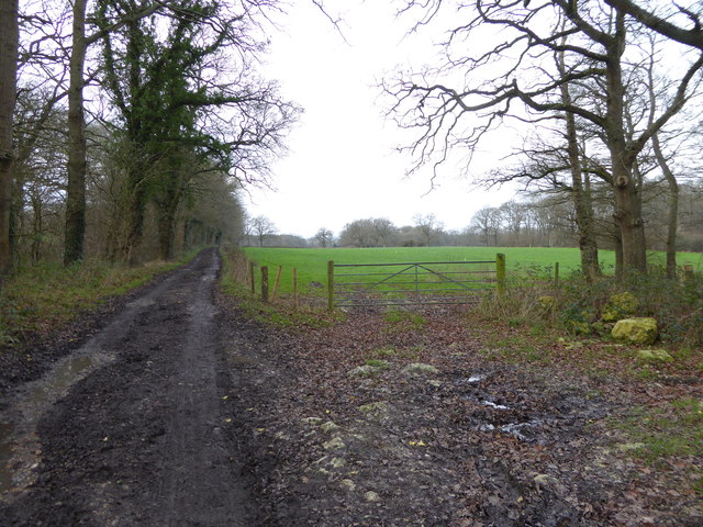
Traversing through The Rookery, visitors are greeted by a network of well-maintained footpaths that wind their way through the woodland. These paths offer a peaceful and tranquil setting, perfect for leisurely strolls or invigorating hikes. Occasional clearings within the forest provide picturesque spots to rest and admire the natural surroundings.
The Rookery is not only a haven for wildlife but also a place of historical significance. The forest boasts remnants of ancient earthworks, indicating human presence in the area dating back centuries. These remnants add an air of mystery and intrigue to the forest, capturing the imagination of visitors as they explore its depths.
Overall, The Rookery in Sussex is a captivating woodland forest that offers a serene escape from the hustle and bustle of modern life. With its diverse ecosystem, well-maintained footpaths, and rich history, it is a destination that appeals to both nature enthusiasts and history buffs alike.
If you have any feedback on the listing, please let us know in the comments section below.
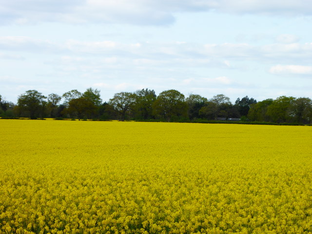
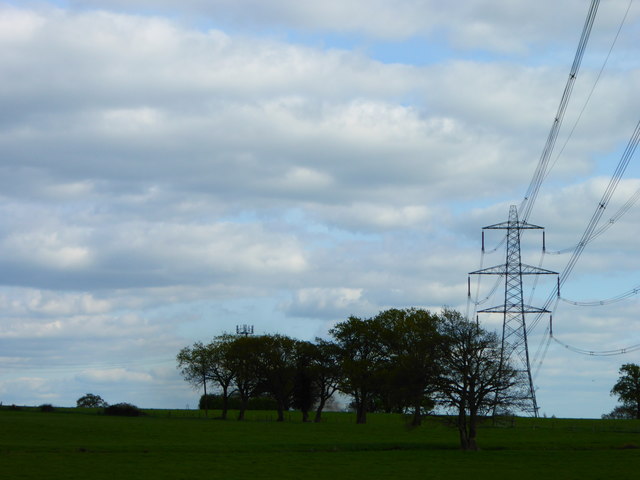
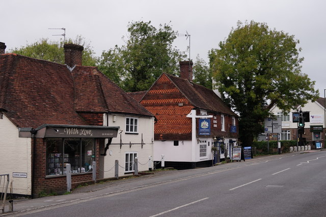
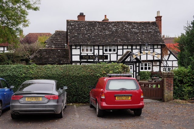
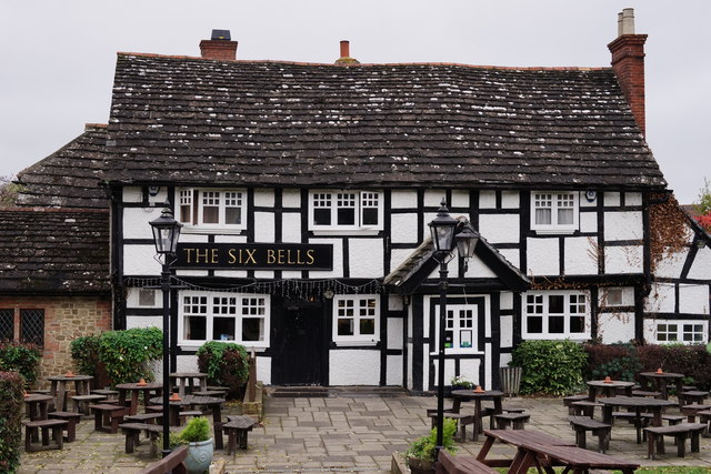
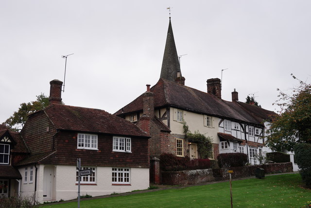
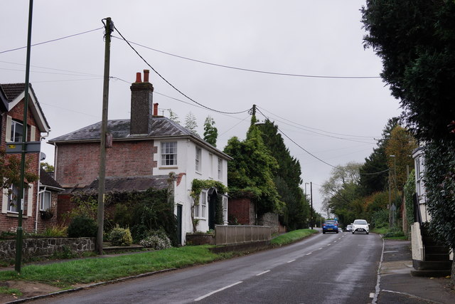
The Rookery Images
Images are sourced within 2km of 51.032773/-0.43669513 or Grid Reference TQ0927. Thanks to Geograph Open Source API. All images are credited.


The Rookery is located at Grid Ref: TQ0927 (Lat: 51.032773, Lng: -0.43669513)
Administrative County: West Sussex
District: Horsham
Police Authority: Sussex
What 3 Words
///lies.duos.jazzy. Near Billingshurst, West Sussex
Nearby Locations
Related Wikis

Five Oaks
Five Oaks is a large hamlet in the Horsham District of West Sussex, England. It lies about 1.7 miles (2.8 km) north of Billingshurst on the Roman road...

Billingshurst
Billingshurst is a village and civil parish in the Horsham District of West Sussex, England. The village lies on the A29 road (the Roman Stane Street)...

Billingshurst Unitarian Chapel
Billingshurst Unitarian Chapel is a place of worship in Billingshurst in the English county of West Sussex. The cottage-like building was erected in 1754...

Billingshurst F.C.
Billingshurst Football Club is a football club based in Billingshurst, West Sussex, England. They are currently members of the Southern Combination Division...

Coppedhall Hanger
Coppedhall Hanger is a 0.6-hectare (1.5-acre) geological Site of Special Scientific Interest north of Billingshurst in West Sussex. It is a Geological...
The Weald School
The Weald School is a coeducational secondary school and sixth form. It caters for around 1,700 pupils in years 7 to 13, including over 300 in its sixth...

Billingshurst railway station
Billingshurst Railway Station serves the market town of Billingshurst, in West Sussex, England. It is on the Arun Valley Line 44 miles 71 chains (72.2...

Billingshurst (electoral division)
Billingshurst is an electoral division of West Sussex in the United Kingdom and returns one member to sit on West Sussex County Council. == Extent == The...
Nearby Amenities
Located within 500m of 51.032773,-0.43669513Have you been to The Rookery?
Leave your review of The Rookery below (or comments, questions and feedback).