Stane Street
Heritage Site in Sussex Horsham
England
Stane Street
Stane Street, located in Sussex, England, is a historic Roman road that stretches approximately 55 miles from London to Chichester. It was constructed in the 1st century AD and served as a vital transport route between these two significant Roman settlements. Today, Stane Street remains a prominent heritage site, providing valuable insights into the Roman occupation of Britain.
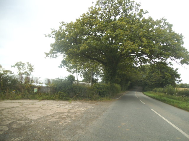
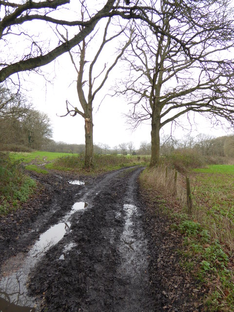
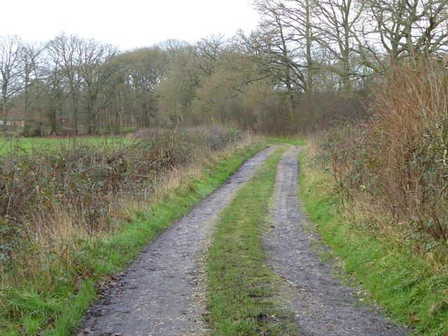
The road was built with a foundation of gravel and clay, topped with large stones, hence its name "Stane Street" which means "stone road." It was constructed in a straight line, showcasing the engineering prowess of the Romans. Along its route, Stane Street passed through various landscapes, including marshes, forests, and open countryside, reflecting the diverse terrain of Sussex.
Stane Street played a pivotal role in facilitating trade and communication for the Romans. It connected important settlements such as Colchester, London, and Chichester, allowing for the efficient transportation of goods, troops, and messages. The road also served as a boundary marker, separating the Roman civilization from the native British tribes.
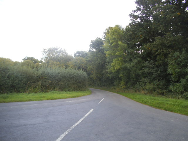
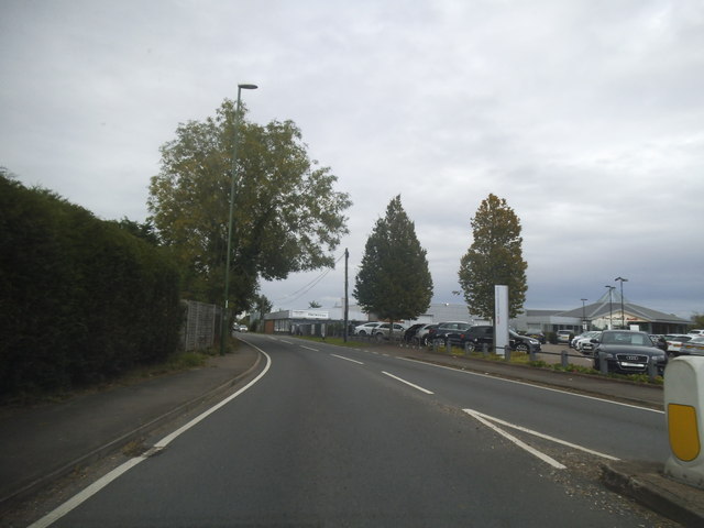
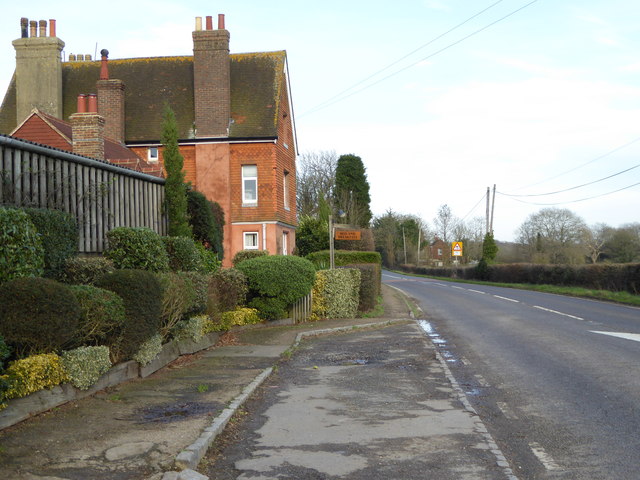
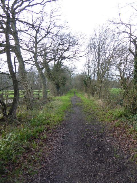
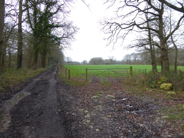
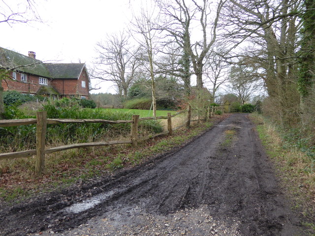
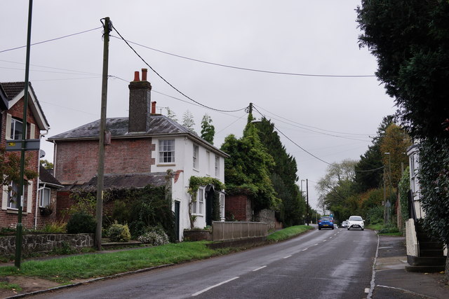
Today, Stane Street is a popular destination for history enthusiasts and walkers alike. Sections of the road have been preserved and can still be seen, offering visitors a tangible connection to the past. The road's remnants reveal its impressive width, typically measuring around 8 meters, with ditches on either side. Interpretive signs and information boards along the route provide further historical context and detail about the road's significance.
Stane Street is not only a physical reminder of the Roman presence in Britain but also a testament to their engineering skills and the enduring legacy of their civilization.
If you have any feedback on the listing, please let us know in the comments section below.
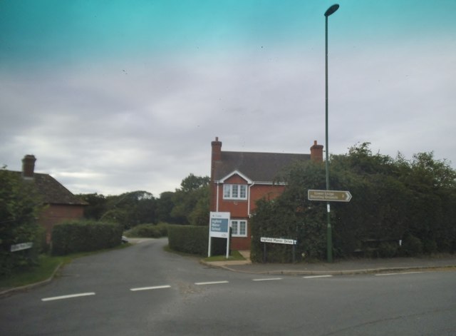
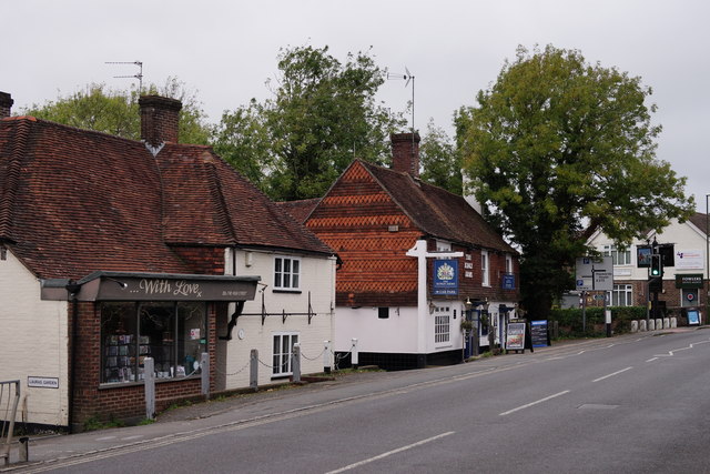
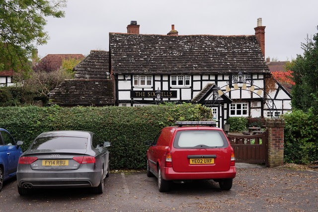
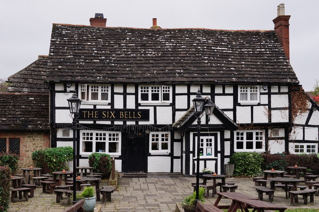
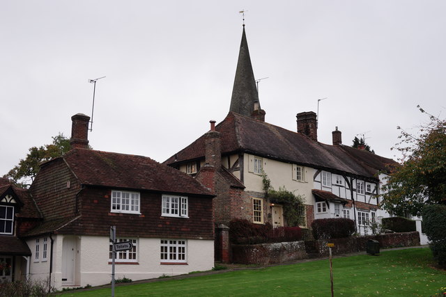
Stane Street Images
Images are sourced within 2km of 51.037/-0.438 or Grid Reference TQ0927. Thanks to Geograph Open Source API. All images are credited.

Stane Street is located at Grid Ref: TQ0927 (Lat: 51.037, Lng: -0.438)
Administrative County: West Sussex
District: Horsham
Police Authority: Sussex
What 3 Words
///rattled.fines.treaty. Near Billingshurst, West Sussex
Nearby Locations
Related Wikis

Five Oaks
Five Oaks is a large hamlet in the Horsham District of West Sussex, England. It lies about 1.7 miles (2.8 km) north of Billingshurst on the Roman road...

Coppedhall Hanger
Coppedhall Hanger is a 0.6-hectare (1.5-acre) geological Site of Special Scientific Interest north of Billingshurst in West Sussex. It is a Geological...

Billingshurst
Billingshurst is a village and civil parish in the Horsham District of West Sussex, England. The village lies on the A29 road (the Roman Stane Street)...

Billingshurst F.C.
Billingshurst Football Club is a football club based in Billingshurst, West Sussex, England. They are currently members of the Southern Combination Division...

The Haven, West Sussex
The Haven is a rural hamlet in West Sussex, south east England located about 7 miles to the west of Horsham.The Haven is primarily an agricultural area...

Billingshurst Unitarian Chapel
Billingshurst Unitarian Chapel is a place of worship in Billingshurst in the English county of West Sussex. The cottage-like building was erected in 1754...
The Weald School
The Weald School is a coeducational secondary school and sixth form. It caters for around 1,700 pupils in years 7 to 13, including over 300 in its sixth...

Billingshurst railway station
Billingshurst Railway Station serves the market town of Billingshurst, in West Sussex, England. It is on the Arun Valley Line 44 miles 71 chains (72.2...
Nearby Amenities
Located within 500m of 51.037,-0.438Have you been to Stane Street ?
Leave your review of Stane Street below (or comments, questions and feedback).