Audleby Low Covert
Wood, Forest in Lincolnshire West Lindsey
England
Audleby Low Covert
Audleby Low Covert is a small woodland located in Lincolnshire, England. Situated near the village of Audleby, it covers an area of approximately 20 acres. The covert is primarily composed of deciduous trees such as oak, ash, and beech, with a dense undergrowth of shrubs, ferns, and wildflowers.
The woodland is known for its rich biodiversity, providing a habitat for a wide range of flora and fauna. It is a haven for various bird species, including woodpeckers, owls, and warblers, making it a popular spot for birdwatchers. Small mammals such as squirrels, hedgehogs, and foxes can also be found within the covert.
Audleby Low Covert is a tranquil and serene place, attracting nature enthusiasts and walkers alike. The woodland's well-maintained paths offer visitors the opportunity to explore its beauty while enjoying a peaceful stroll. Along the way, one may come across picturesque clearings and meandering streams, enhancing the overall charm of the covert.
The woodland is managed by the local conservation trust, ensuring the preservation of its natural beauty. Efforts are made to maintain the delicate ecosystem and protect the diverse range of plant and animal species that call the covert their home.
Overall, Audleby Low Covert is a delightful woodland retreat in Lincolnshire, offering visitors an escape into nature. Its lush vegetation, diverse wildlife, and tranquil ambience make it a perfect destination for those seeking a peaceful and immersive outdoor experience.
If you have any feedback on the listing, please let us know in the comments section below.
Audleby Low Covert Images
Images are sourced within 2km of 53.518404/-0.3466441 or Grid Reference TA0903. Thanks to Geograph Open Source API. All images are credited.


Audleby Low Covert is located at Grid Ref: TA0903 (Lat: 53.518404, Lng: -0.3466441)
Administrative County: Lincolnshire
District: West Lindsey
Police Authority: Lincolnshire
What 3 Words
///beaten.paler.minus. Near Caistor, Lincolnshire
Nearby Locations
Related Wikis
Clixby
Clixby is a small village and former civil parish, now in the parish of Grasby, in the West Lindsey district of Lincolnshire, England. It is situated approximately...
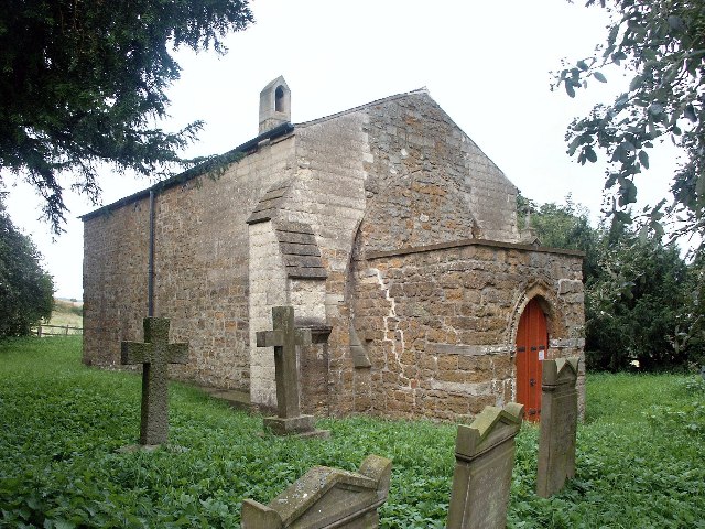
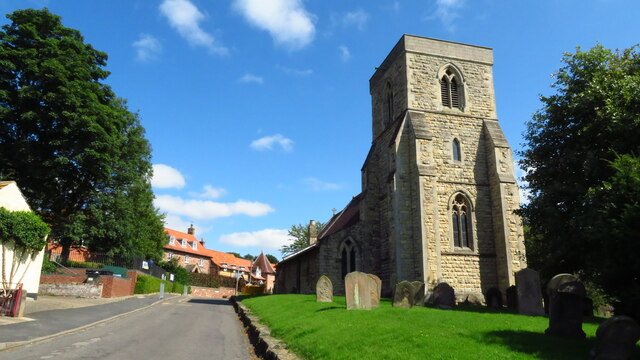
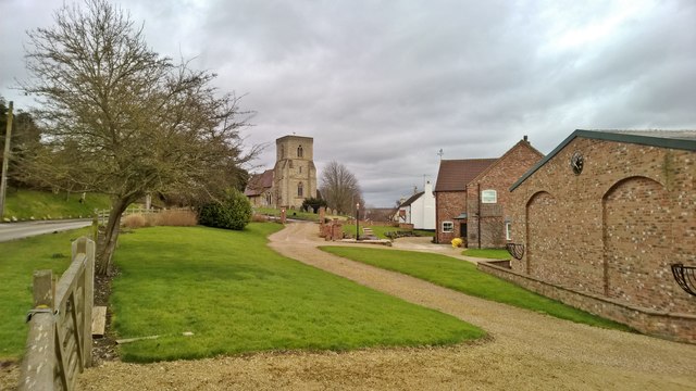
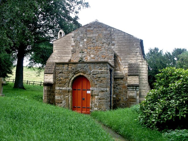
All Hallows Church, Clixby
All Hallows Church, Clixby, is a redundant Anglican church in the hamlet of Clixby, about 1 mile (1.6 km) east of the village of Grasby, Lincolnshire,...
Grasby
Grasby is a small village and civil parish in the West Lindsey district of Lincolnshire, England. The population of the civil parish (including Clixby...
RAF Caistor
RAF Caistor is a former Royal Air Force Relief Landing Ground located 6.2 miles (10.0 km) south east of Brigg, Lincolnshire and 9.1 miles (14.6 km) north...
Owmby
Owmby is a hamlet in the civil parish of Searby cum Owmby, in the West Lindsey district of Lincolnshire, England. It is less than 1 mile (1.6 km) south...
Caistor Grammar School
Caistor Grammar School is a selective school with academy status in the English town of Caistor in the county of Lincolnshire, England. The school was...
Searby cum Owmby
Searby cum Owmby is a civil parish situated to the north of the West Lindsey district of Lincolnshire, England. The only parish settlements are Searby...
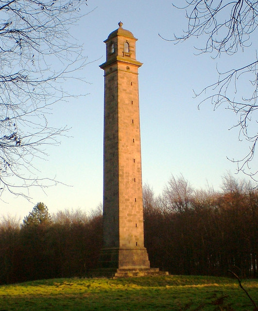
Pelham's Pillar
Pelham's Pillar is a monument dedicated to Charles Anderson-Pelham, 1st Earl of Yarborough who died in 1846. The Pillar is in Cabourne, West Lindsey on...
Have you been to Audleby Low Covert?
Leave your review of Audleby Low Covert below (or comments, questions and feedback).