Woolpit Wood
Wood, Forest in Surrey Waverley
England
Woolpit Wood
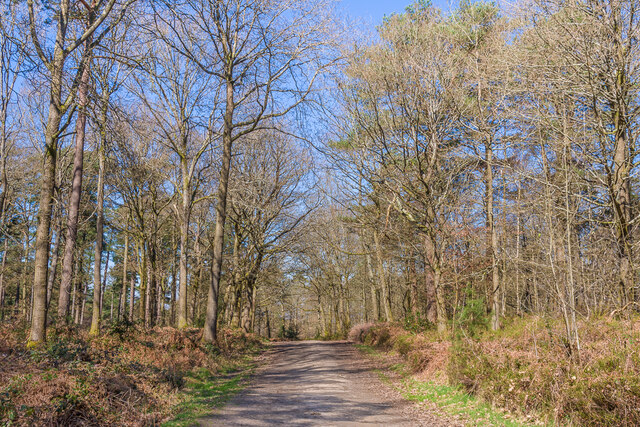
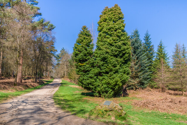
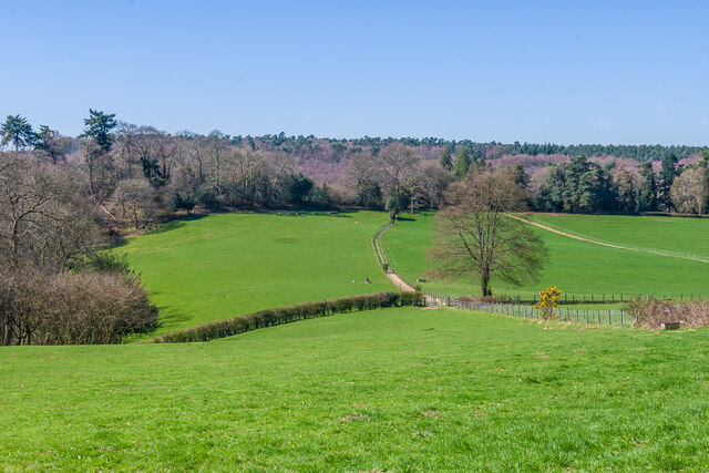
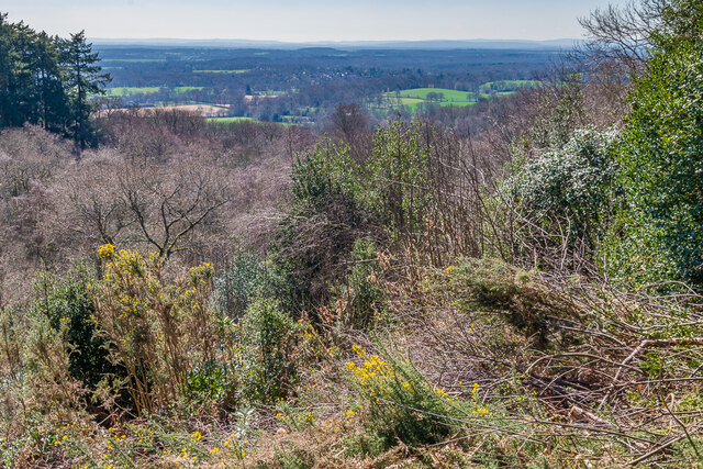
Woolpit Wood, located in the county of Surrey, England, is a picturesque woodland area that covers a vast expanse of approximately 200 acres. Situated near the village of Chiddingfold, this ancient forest is renowned for its natural beauty and diverse ecosystem.
The wood is primarily composed of broadleaf trees such as oak, beech, and birch, which create a dense canopy that provides shelter to a wide range of wildlife. The forest floor is adorned with a variety of flora, including bluebells, primroses, and ferns, which add to the enchanting atmosphere of the wood.
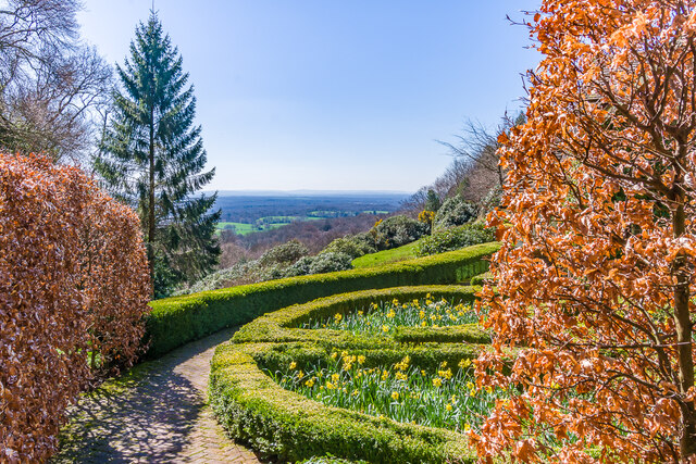
Woolpit Wood is a popular destination for nature enthusiasts and hikers, offering a network of well-maintained trails that meander through the forest. These trails provide visitors with the opportunity to explore the woodland's hidden gems, such as tranquil ponds and babbling brooks. The wood also features several designated picnic areas, inviting visitors to relax and enjoy the peaceful surroundings.
Due to its rich biodiversity, Woolpit Wood has been designated as a Site of Special Scientific Interest (SSSI), highlighting its ecological importance. The wood is home to a multitude of wildlife species, including deer, foxes, badgers, and a wide variety of bird species.
Visiting Woolpit Wood offers a chance to escape the hustle and bustle of everyday life and immerse oneself in a serene natural environment. With its captivating beauty and abundant wildlife, this woodland sanctuary in Surrey is a true haven for nature lovers.
If you have any feedback on the listing, please let us know in the comments section below.
Woolpit Wood Images
Images are sourced within 2km of 51.172476/-0.4380268 or Grid Reference TQ0942. Thanks to Geograph Open Source API. All images are credited.


Woolpit Wood is located at Grid Ref: TQ0942 (Lat: 51.172476, Lng: -0.4380268)
Administrative County: Surrey
District: Waverley
Police Authority: Surrey
What 3 Words
///weds.wells.could. Near Ewhurst, Surrey
Nearby Locations
Related Wikis

Duke of Kent School
Duke of Kent School is a 3–16 mixed private school in Ewhurst, Surrey, England. The school was originally founded in 1920 at Vanbrugh Castle to provide...

Hurtwood House
Hurtwood House is an independent, co-educational boarding school and sixth form for pupils aged 15–19 in Surrey, England. == Synopsis == Founded in 1970...

Marylands
Marylands is a Spanish-style country house on Pitch Hill, a rural part of Ewhurst, Surrey, England. It is a Grade II* listed building, designed during...
Mullard Space Science Laboratory
The UCL Mullard Space Science Laboratory (MSSL) is the United Kingdom's largest university space research group. MSSL is part of the Department of Space...
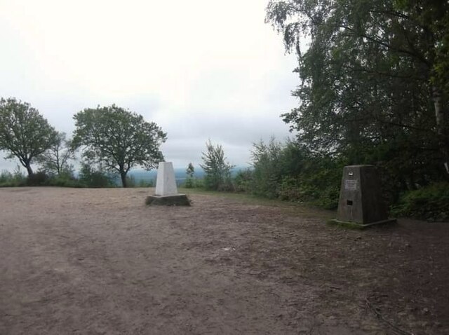
Holmbury Hill
Holmbury Hill is a wooded area of 261 metres (856 ft) above sea level in Surrey, England, and the site of an Iron Age-period hillfort. The Old Saxon word...

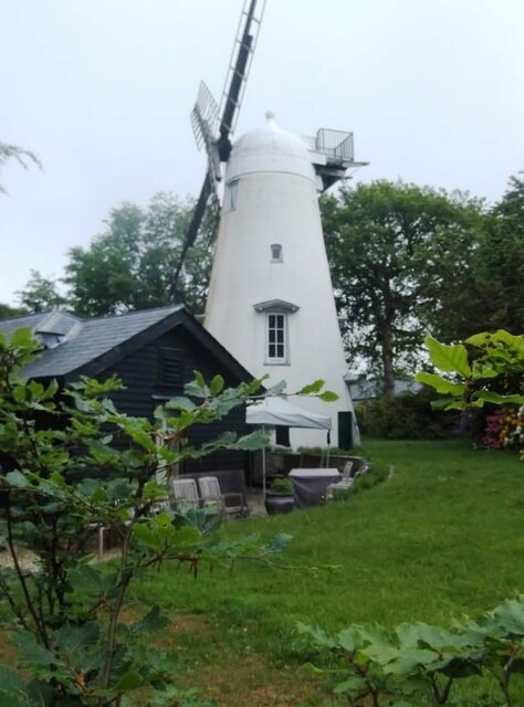
Hurt Wood Mill, Ewhurst
Hurt Wood Mill is a grade II* listed tower mill at Ewhurst, Surrey, England, which has been converted to residential use. == History == Hurt Wood Mill...
Joldwynds
Joldwynds is a modernist style house in Holmbury St Mary, Surrey, England, designed by architect Oliver Hill for Wilfred Greene, 1st Baron Greene. Completed...
Ewhurst, Surrey
Ewhurst is a rural village and civil parish in the borough of Waverley in Surrey, England. It is located 8.3 miles (13.4 km) south-east of Guildford,...
Nearby Amenities
Located within 500m of 51.172476,-0.4380268Have you been to Woolpit Wood?
Leave your review of Woolpit Wood below (or comments, questions and feedback).