Back Gates Plantation
Wood, Forest in Lincolnshire South Kesteven
England
Back Gates Plantation
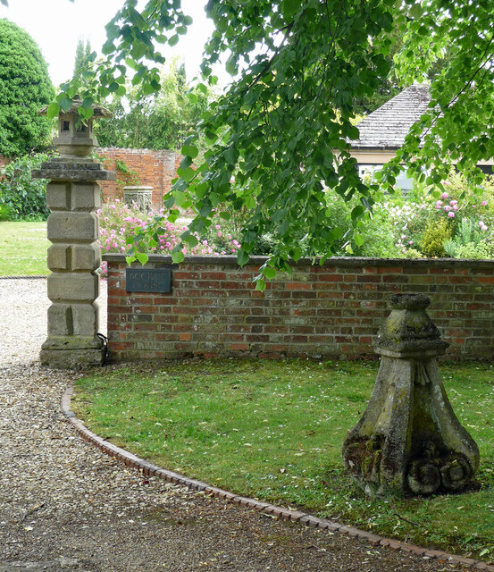
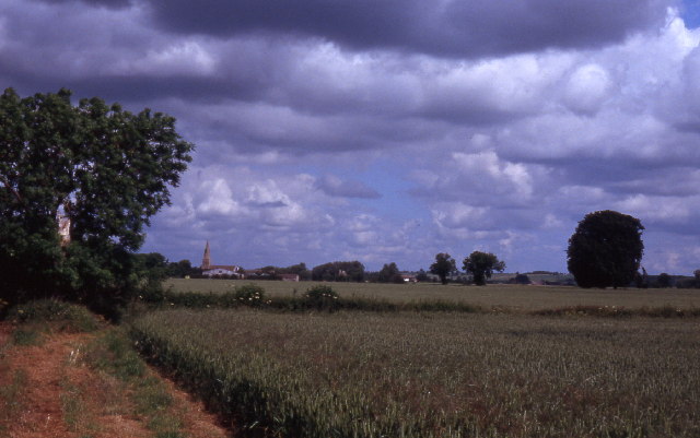
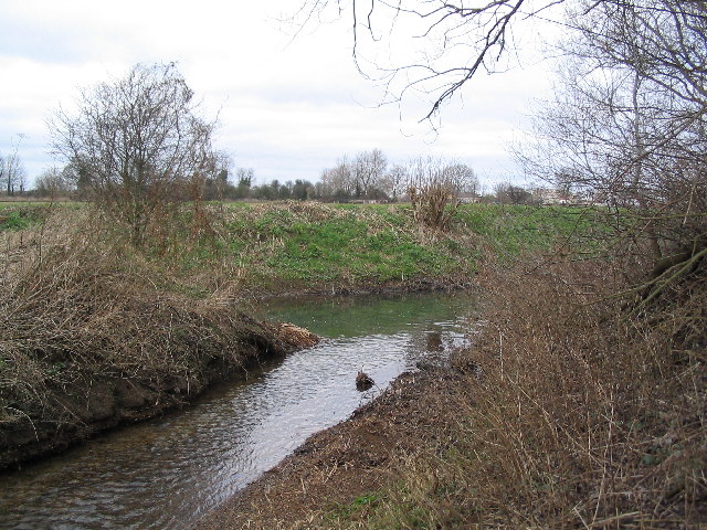
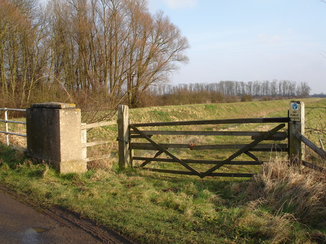
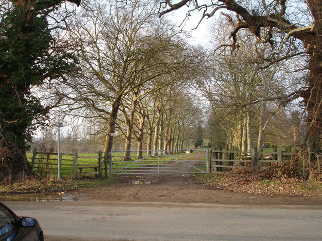
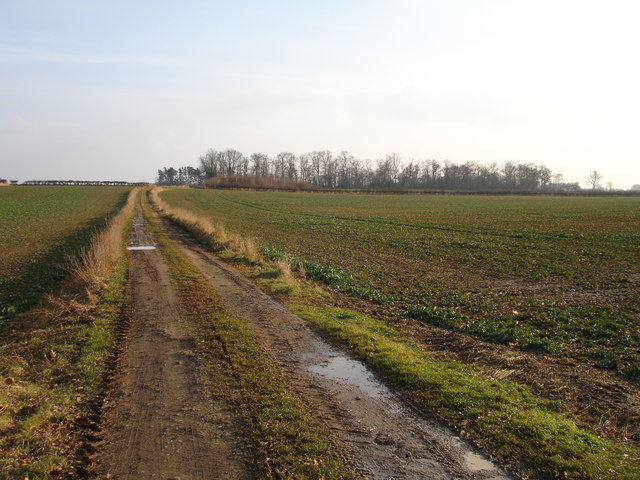
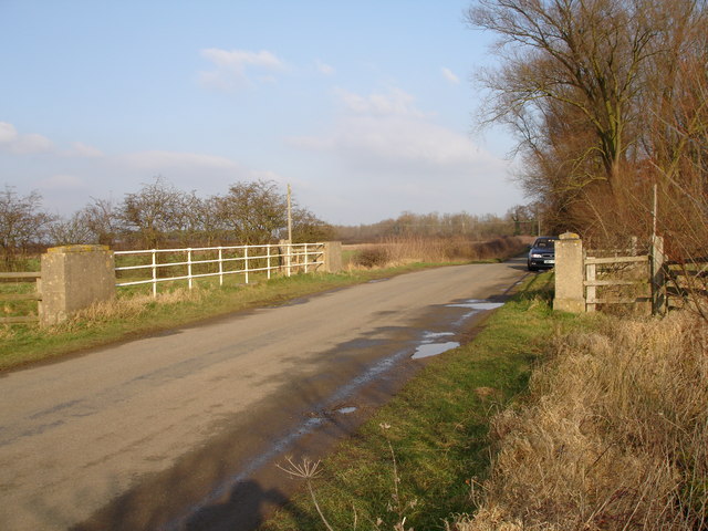
Back Gates Plantation is a picturesque woodland area located in Lincolnshire, England. Situated in the heart of the county, this enchanting forest covers a vast area of approximately 500 acres. The plantation is known for its dense and diverse tree population, offering a haven for nature enthusiasts and outdoor enthusiasts alike.
The main feature of Back Gates Plantation is its stunning collection of majestic oak trees, which are scattered throughout the woodland. These ancient trees create a tranquil and serene atmosphere, providing shade and shelter for a variety of wildlife. The forest floor is carpeted with a rich layer of moss and ferns, adding to the overall beauty of the landscape.
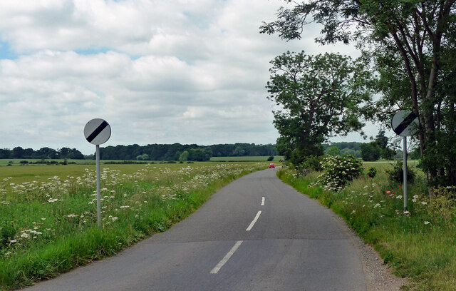
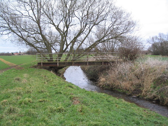
The woodland is crisscrossed with a network of well-maintained footpaths, allowing visitors to explore the plantation and immerse themselves in the natural surroundings. These pathways provide access to numerous hidden gems within the forest, such as hidden ponds and small streams, adding to the sense of adventure.
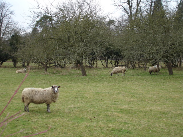
Back Gates Plantation is a popular destination for birdwatchers, as it attracts a wide array of bird species. From woodpeckers to owls, visitors can spot a multitude of feathered friends in their natural habitat. The plantation is also home to various mammals, including deer, squirrels, and rabbits, which can often be seen darting through the undergrowth.
Whether it's a leisurely stroll, a birdwatching expedition, or simply a desire to escape the hustle and bustle of everyday life, Back Gates Plantation offers a serene and captivating experience for all who visit.
If you have any feedback on the listing, please let us know in the comments section below.
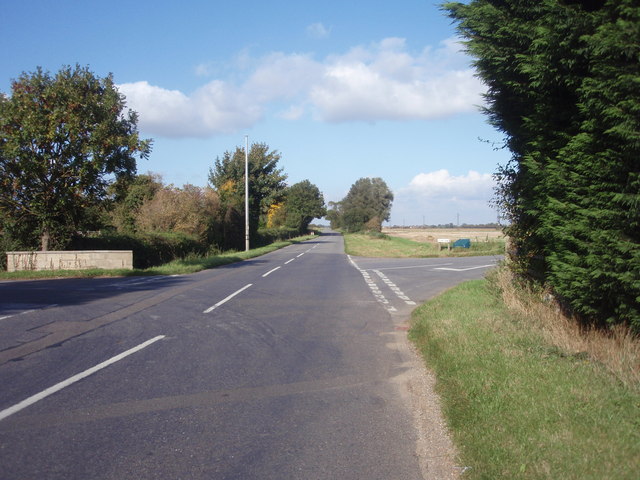
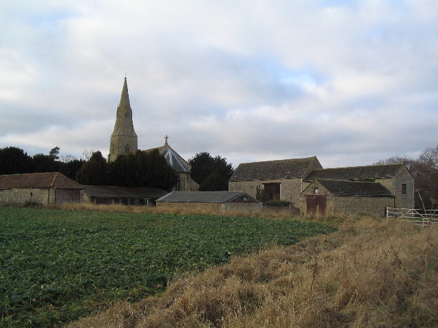
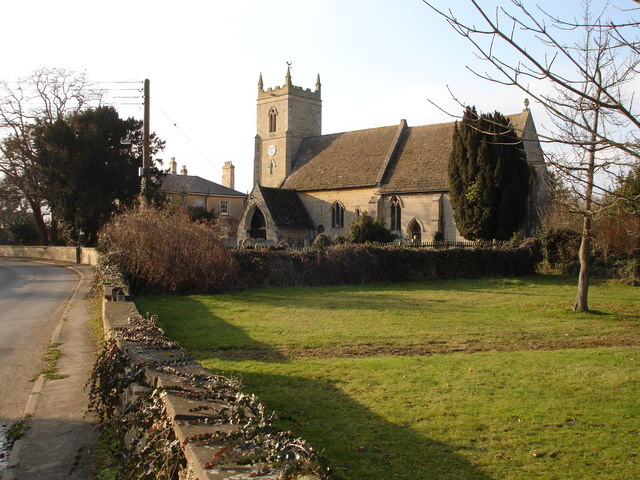
Back Gates Plantation Images
Images are sourced within 2km of 52.689213/-0.38484346 or Grid Reference TF0911. Thanks to Geograph Open Source API. All images are credited.


Back Gates Plantation is located at Grid Ref: TF0911 (Lat: 52.689213, Lng: -0.38484346)
Administrative County: Lincolnshire
District: South Kesteven
Police Authority: Lincolnshire
What 3 Words
///waxing.endearing.horn. Near Langtoft, Lincolnshire
Nearby Locations
Related Wikis

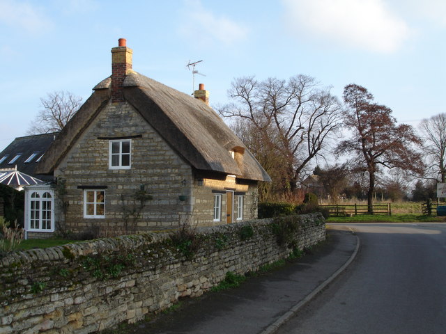
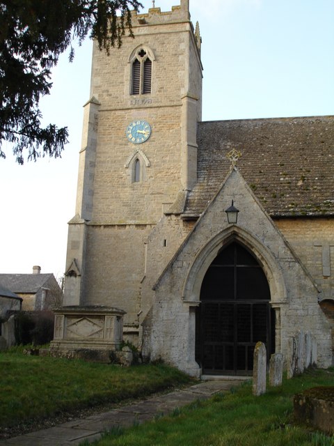
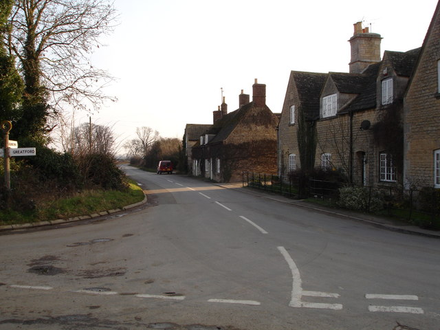
Greatford
Greatford is a village and civil parish in the South Kesteven district of Lincolnshire, England. It is situated 2 miles (3 km) west from the A15, 4.5 miles...
Barholm and Stowe
Barholm and Stowe is a civil parish in the South Kesteven district of Lincolnshire, England. According to the 2001 census it had a population of 87 in...
King Street (Roman road)
King Street is the name of a modern road on the line of a Roman road. It runs on a straight course in eastern England, between the City of Peterborough...
Braceborough
Braceborough is a village in the South Kesteven district of Lincolnshire, England. It is situated off the Stamford to Bourne A6121 road, just west of the...
Barholm
Barholm is a village in the South Kesteven district of Lincolnshire, England. It is 2 miles (3 km) west from the A15 road, and 6 miles (10 km) south from...

Braceborough and Wilsthorpe
Braceborough and Wilsthorpe is a civil parish in the South Kesteven district of Lincolnshire, England. Braceborough and Wilsthorpe are less than 1 mile...

Uffington Rural District
Uffington was a rural district in Lincolnshire, Parts of Kesteven from 1894 to 1931. It was created in 1894 from that part of the Stamford rural sanitary...

Wilsthorpe, Lincolnshire
Wilsthorpe is a village in the district of South Kesteven in the county of Lincolnshire, England. It is situated approximately 6 miles (10 km) north-east...
Related Videos

Beginning of May 2023 Bank Holiday weekend 🏖️ 🍺 😎
A very relaxing Bank holiday weekend.

Saturday 30th July 2022, just back from holiday 🏖
Quick hello as I'm back.
Thursday 2nd June 2022 ( Bank holiday and I’m at work ) cutting the grass
Cutting the grass.
Nearby Amenities
Located within 500m of 52.689213,-0.38484346Have you been to Back Gates Plantation?
Leave your review of Back Gates Plantation below (or comments, questions and feedback).