Parsonage Field

Downs, Moorland in Lincolnshire South Kesteven

England

Parsonage Field

Carvings, Greatford Some of the numerous eccentric carvings scattered around the village. They are by Major Fitzilliam of Greatford Hall and date from the 1930s - see other pics in the square.
Carvings, Greatford Credit: Stephen Richards

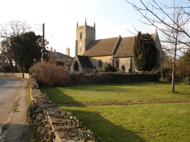
Parsonage Field is a picturesque area located in Lincolnshire, England. Situated on the Downs and Moorland, this idyllic landscape offers a stunning combination of rolling hills, lush green meadows, and breathtaking views. It spans an approximate area of 500 acres, making it a significant natural attraction in the region.

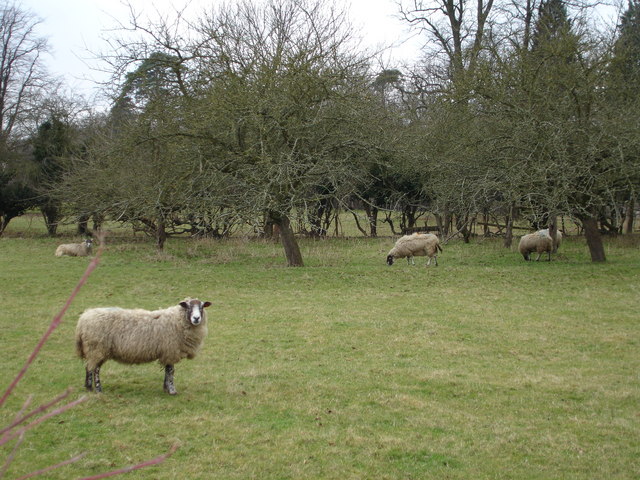
The field is characterized by its diverse flora and fauna, providing a haven for a variety of wildlife species. Visitors can expect to encounter an array of birds, small mammals, and butterflies while exploring the area. The field is particularly renowned for its vibrant wildflower displays during the spring and summer months, attracting nature enthusiasts and photography enthusiasts alike.

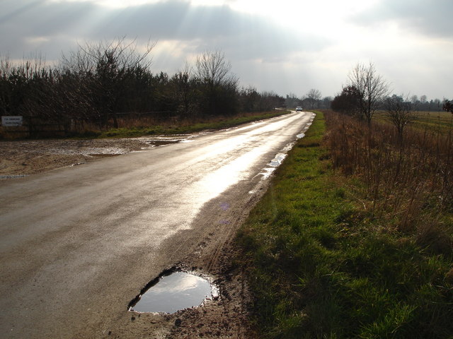
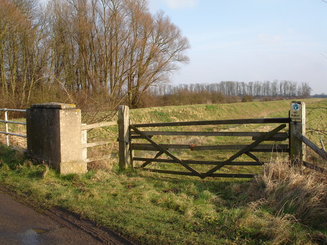
The landscape of Parsonage Field is interspersed with charming footpaths and trails, allowing visitors to fully immerse themselves in the peaceful surroundings. These paths offer an excellent opportunity for hiking, walking, or simply enjoying a leisurely stroll amidst nature. There are also designated picnic areas, making it a popular spot for families and friends to gather and enjoy a meal in the great outdoors.

In addition to its natural beauty, Parsonage Field holds historical significance as well. The area is home to several ancient burial mounds, which serve as a reminder of the rich heritage of the region. Archaeological excavations have uncovered artifacts dating back to the Bronze Age, providing valuable insights into the lives of the early inhabitants of this land.

Overall, Parsonage Field in Lincolnshire offers a serene and captivating experience for nature lovers and history enthusiasts alike. Its stunning landscapes, abundant wildlife, and cultural significance make it a must-visit destination for anyone seeking a tranquil escape from the hustle and bustle of everyday life.

If you have any feedback on the listing, please let us know in the comments section below.

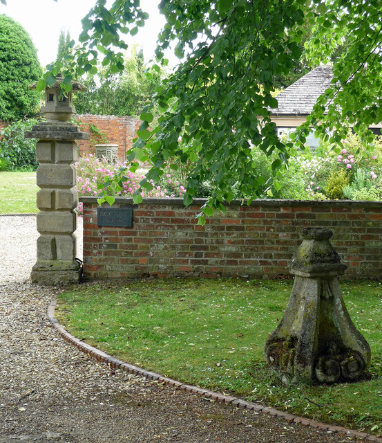
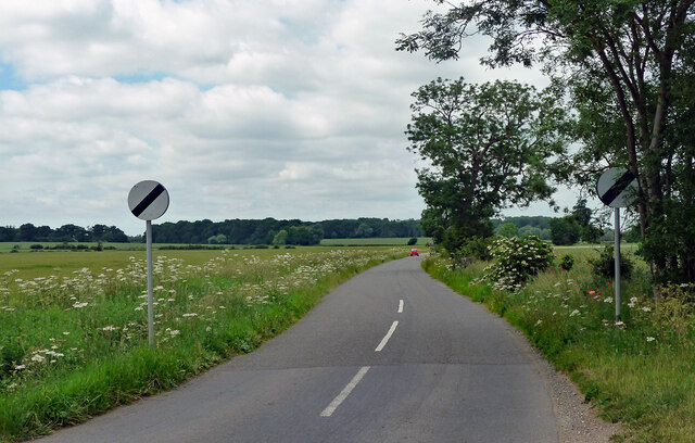
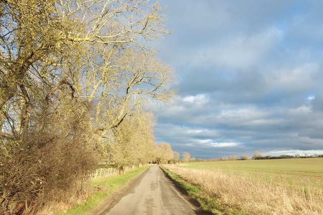
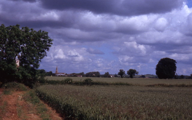
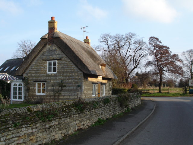
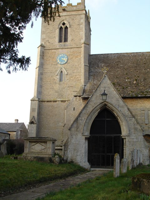
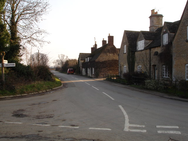
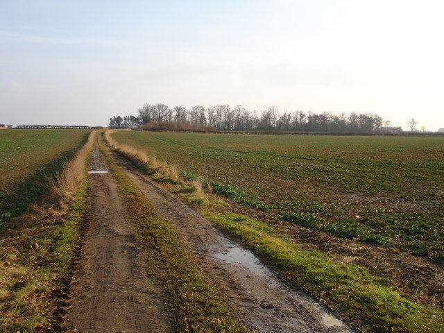
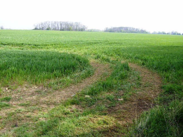
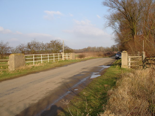
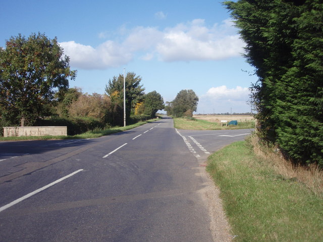
Parsonage Field Images

Images are sourced within 2km of 52.685731/-0.38205735 or Grid Reference TF0911. Thanks to Geograph Open Source API. All images are credited.

Carvings, Greatford Some of the numerous eccentric carvings scattered around the village. They are by Major Fitzilliam of Greatford Hall and date from the 1930s - see other pics in the square.
Carvings, Greatford
Some of the numerous eccentric carvings scattered around the village. They are by Major Fitzilliam of Greatford Hall and date from the 1930s - see other pics in the square.
Country road, Greatford Heading north-west out of the village to the open road.
Country road, Greatford
Heading north-west out of the village to the open road.
Passing Greatford Wood on the way to Greatford
Field path near Braceborough
Thatched Cottage in the centre of Barholm Village Barholm is near Greatford and Stamford.
Thatched Cottage in the centre of Barholm Village
Barholm is near Greatford and Stamford.
Church at Barholm Located near the junction with the road to Tallington
Church at Barholm
Located near the junction with the road to Tallington
Church Tower at Barholm Barholm is near to Greatford and Stamford
Church Tower at Barholm
Barholm is near to Greatford and Stamford
Barholm village at the junction of the road to Tallington Lakes Barholm is near to Gratford and Stamford
Barholm village at the junction of the road to Tallington Lakes
Barholm is near to Gratford and Stamford
Sheep grazing in the field at the rear of The Hare and Hounds, Greatford
The hare and Hounds pub in Greatford
Old stone cross on the opposite side of the road to the Hare and Hounds, Greatford
An entrance to Greatford Hall
Entrance to Glen Farm, Greatford, on the Greatford to Bourne road
Bridge over Greatford Cut on Barholm to Stowe road The Greatford Cut is not shown on the Geograph 1940s series OS maps
Bridge over Greatford Cut on Barholm to Stowe road
The Greatford Cut is not shown on the Geograph 1940s series OS maps
Greatford Cut, Barholm to Stowe road
Farm track off the Greatford to Belmesthorpe road
A brush with rape The walkers show the height of this crop of rape in late April.  The path has not been kept clear, resulting in some yellow walkers by the end.
A brush with rape
The walkers show the height of this crop of rape in late April. The path has not been kept clear, resulting in some yellow walkers by the end.
Farmland near Greatford A recently planted cereal crop.  Looking north-east from the junction with the road north of Greatford, this view shows the copse on the horizon which is near the middle of this square.
Farmland near Greatford
A recently planted cereal crop. Looking north-east from the junction with the road north of Greatford, this view shows the copse on the horizon which is near the middle of this square.
Show me another place!

Parsonage Field is located at Grid Ref: TF0911 (Lat: 52.685731, Lng: -0.38205735)

Administrative County: Lincolnshire

District: South Kesteven

Police Authority: Lincolnshire

What 3 Words

///scavenger.homework.even. Near Langtoft, Lincolnshire

Related Wikis

Barholm and Stowe

Barholm and Stowe is a civil parish in the South Kesteven district of Lincolnshire, England. According to the 2001 census it had a population of 87 in...

Greatford

Greatford is a village and civil parish in the South Kesteven district of Lincolnshire, England. It is situated 2 miles (3 km) west from the A15, 4.5 miles...

King Street (Roman road)

King Street is the name of a modern road on the line of a Roman road. It runs on a straight course in eastern England, between the City of Peterborough...

Barholm

Barholm is a village in the civil parish of Barholm and Stowe, in the South Kesteven district of Lincolnshire, England. It is 2 miles (3 km) west from...

Nearby Amenities

Located within 500m of 52.685731,-0.38205735
St Martins Church
Naptan AtcoCode: 270000014543
Naptan Bearing: NE
Naptan BusStopType: CUS
Naptan CommonName: St Martins Church
Naptan Indicator: adj
Naptan Landmark: St Martins Church
Naptan NaptanCode: linjpwgw
Naptan Street: Main Street
Naptan Verified: no
Source: naptan_import
Lat/Long: 52.6853099/-0.3887136
Bus Stop
St Martins Church
Naptan AtcoCode: 2700LBBS0776
Naptan Bearing: SW
Naptan CommonName: St Martins Church
Naptan Indicator: opp
Naptan Landmark: St Martins Church
Naptan NaptanCode: linagjmj
Naptan Street: Main Street
Naptan Verified: no
Source: naptan_import
Lat/Long: 52.6851331/-0.389326
Parsonage Field
Place: locality
Source: Bing
Lat/Long: 52.6867304/-0.3844931
Barrier: stile
Lat/Long: 52.6858051/-0.3885812
The data included in this document is from www.openstreetmap.org. The data is made available under ODbL.

Have you been to Parsonage Field?

Leave your review of Parsonage Field below (or comments, questions and feedback).