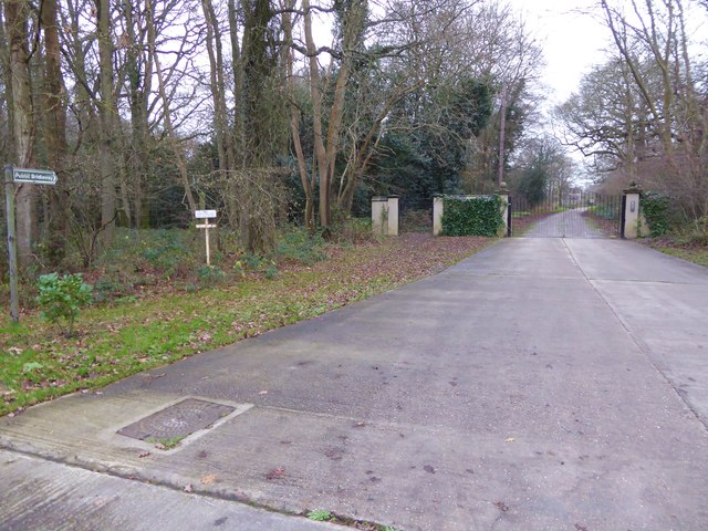
Prince's Wood
Wood, Forest in Sussex Horsham
England
Prince's Wood
Prince's Wood is a captivating woodland located in Sussex, England. Spanning over a vast area, it is a haven for nature enthusiasts and offers a serene retreat from the hustle and bustle of modern life. The wood is named after its historical connection to royalty, as it was once part of the estate belonging to Prince Regent, later known as King George IV.
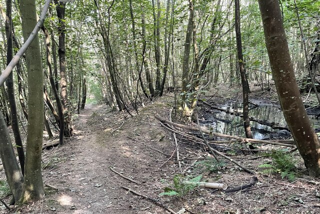
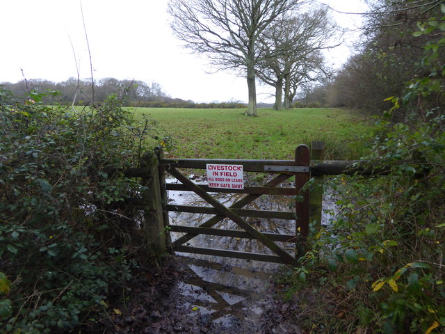
The woodland is home to a diverse range of flora and fauna, with towering oak and beech trees dominating the landscape. The forest floor is covered in a lush carpet of bluebells during the spring season, creating a breathtaking spectacle for visitors. Wildlife thrives in this natural habitat, with deer, badgers, foxes, and an array of bird species frequently spotted amongst the trees.
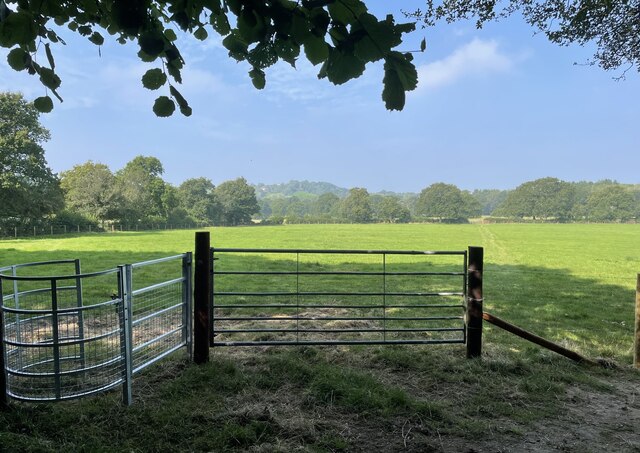
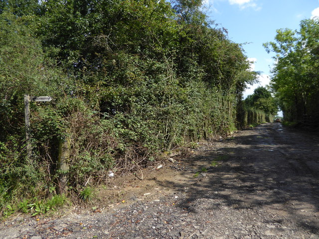
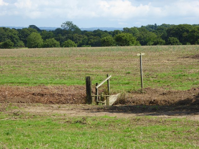
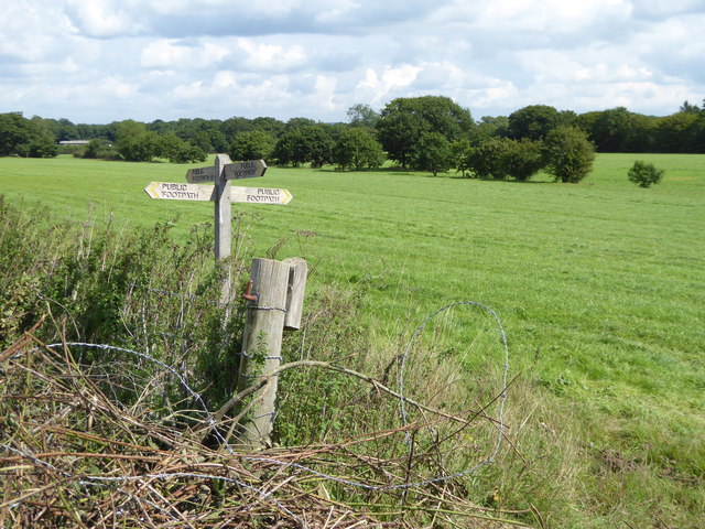
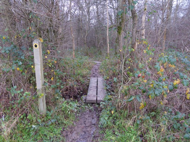
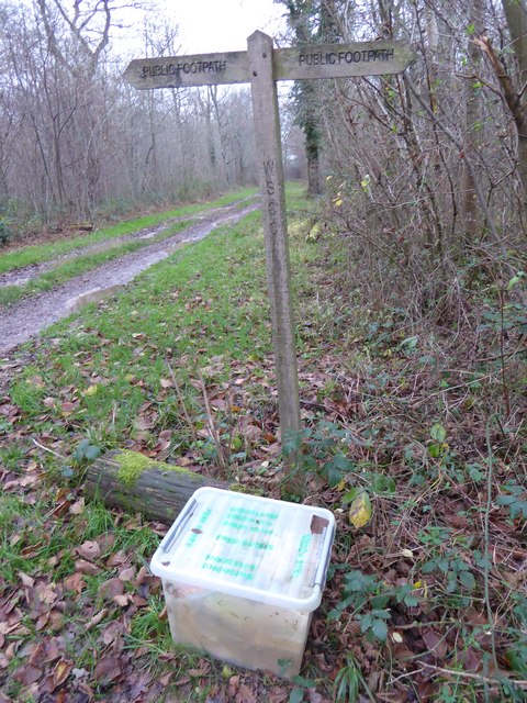
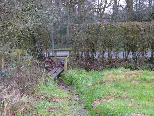
Walking trails wind their way through the wood, offering visitors the opportunity to immerse themselves in the tranquil surroundings. These paths lead to picturesque viewpoints, where one can enjoy panoramic vistas of the surrounding countryside. The wood also boasts a charming picnic area, providing the perfect spot for a leisurely lunch amidst nature.
Prince's Wood is not only a place of natural beauty but also holds historical significance. The remnants of an ancient Roman road can be found within its boundaries, serving as a reminder of the area's rich heritage.
With its enchanting atmosphere and abundant wildlife, Prince's Wood is a must-visit destination for those seeking solace in nature and an appreciation for history. Whether it's a leisurely stroll, a picnic, or an exploration of the wood's historical past, this woodland offers an unforgettable experience for all who venture within its boundaries.
If you have any feedback on the listing, please let us know in the comments section below.
Prince's Wood Images
Images are sourced within 2km of 50.985264/-0.44480249 or Grid Reference TQ0921. Thanks to Geograph Open Source API. All images are credited.


Prince's Wood is located at Grid Ref: TQ0921 (Lat: 50.985264, Lng: -0.44480249)
Administrative County: West Sussex
District: Horsham
Police Authority: Sussex
What 3 Words
///growth.control.crash. Near Billingshurst, West Sussex
Nearby Locations
Related Wikis

Gay Street, West Sussex
Gay Street is a hamlet in the Horsham District of West Sussex, England. It lies on the North Heath to West Chiltington road 1.9 miles (3.1 km) northeast...

Adversane
Adversane is a large hamlet in the Horsham District of West Sussex, England, located 1.5 miles south of Billingshurst (where, at the 2011 Census, the population...

North Heath
North Heath is a hamlet in the Horsham District of West Sussex, England. It lies just off the A29 road 1.9 miles (3 km) north of Pulborough. The Brinsbury...

Coneyhurst
Coneyhurst is a hamlet in the Horsham District of West Sussex, England. It lies on the A272 road 1.6 miles (2.5 km) southeast of Billingshurst (where the...

Coneyhurst Cutting
Coneyhurst Cutting is a 0.2-hectare (0.49-acre) geological Site of Special Scientific Interest south-east of Billingshurst in West Sussex. It is a Geological...

A29 road
The A29 is a main road in England in Surrey and chiefly in West Sussex that runs for 34.4 miles (55.4 km). == Route == The road starts at the Beare Green...
Coolham
Coolham is a small village in the civil parish of Shipley and the Horsham District of West Sussex, England. It is located at the crossroads of the A272...

Pulborough (electoral division)
Pulborough is an electoral division of West Sussex in the United Kingdom and returns one member to sit on West Sussex County Council. The current County...
Nearby Amenities
Located within 500m of 50.985264,-0.44480249Have you been to Prince's Wood?
Leave your review of Prince's Wood below (or comments, questions and feedback).