Broadford Bridge

Settlement in Sussex Horsham

England

Broadford Bridge

Gateway with a view Looking westwards from the West Sussex Literary Trail.
Gateway with a view Credit: Chris Thomas-Atkin

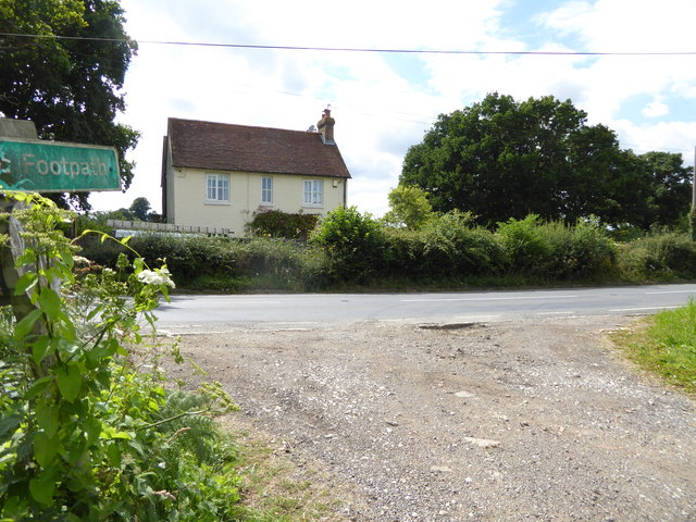
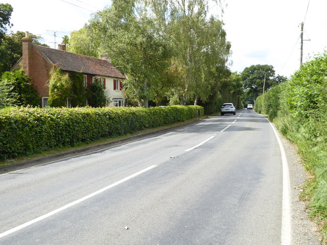
Broadford Bridge is a small village located in the county of West Sussex, England. Situated approximately 10 miles south of Horsham, the village is nestled in the picturesque countryside of the Weald. Broadford Bridge is part of the parish of Billingshurst and falls within the Horsham District.

The village is known for its idyllic charm and tranquil atmosphere. It is surrounded by lush green fields, rolling hills, and dense woodlands, making it a popular destination for nature lovers and walkers. The River Arun flows nearby, adding to the village's scenic beauty.

Broadford Bridge is primarily a residential area, with a small population of around 300 residents. The village is characterized by its traditional architecture, consisting mostly of charming cottages and period houses. It has a close-knit community, with a village hall serving as a hub for various social activities and events.

Despite its small size, Broadford Bridge has historical significance. It is home to the Broadford Bridge Roman Villa, a site of archaeological interest. The villa dates back to the 3rd century AD and was discovered in the 1970s. It provides insights into the Roman presence in the area and offers visitors a glimpse into the past.

Overall, Broadford Bridge offers a peaceful and scenic retreat from the hustle and bustle of city life. Its natural beauty, community spirit, and historical significance make it a charming destination for both residents and visitors alike.

If you have any feedback on the listing, please let us know in the comments section below.

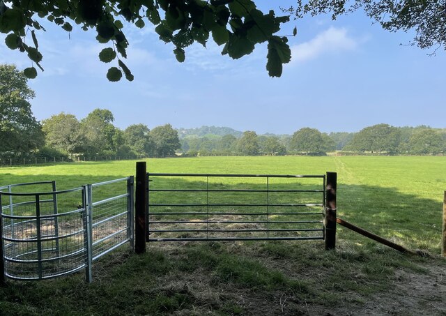
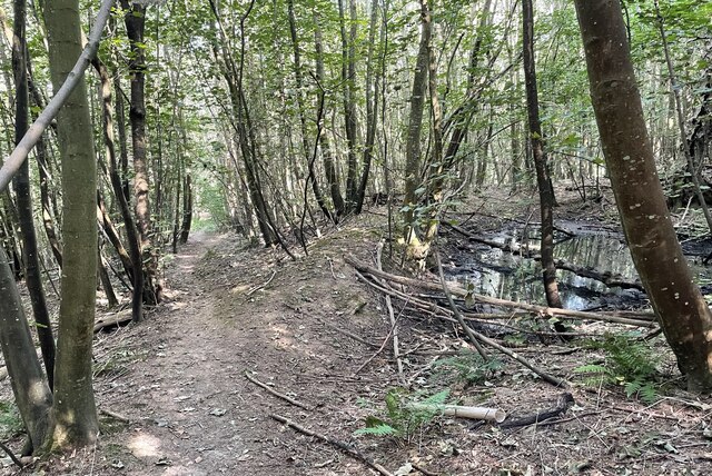
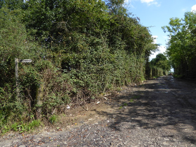
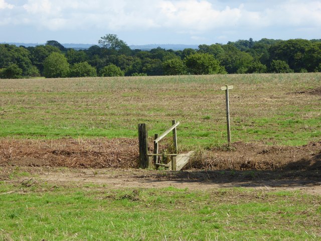
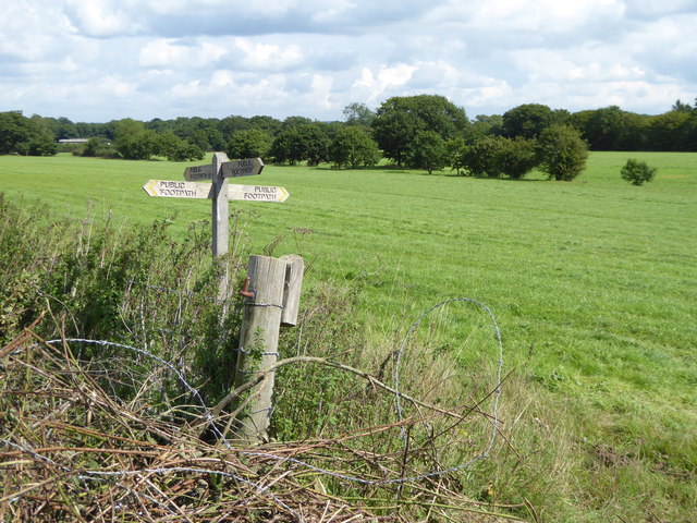
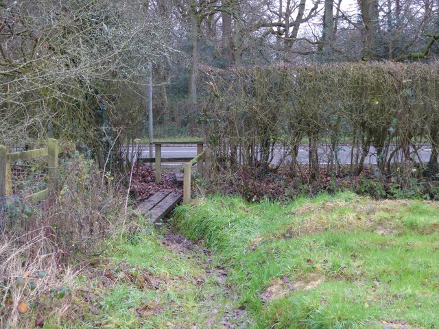
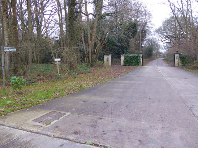
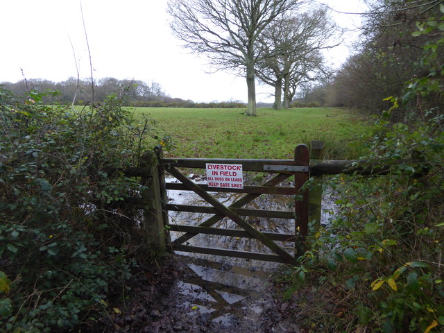
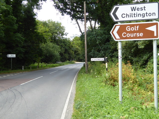
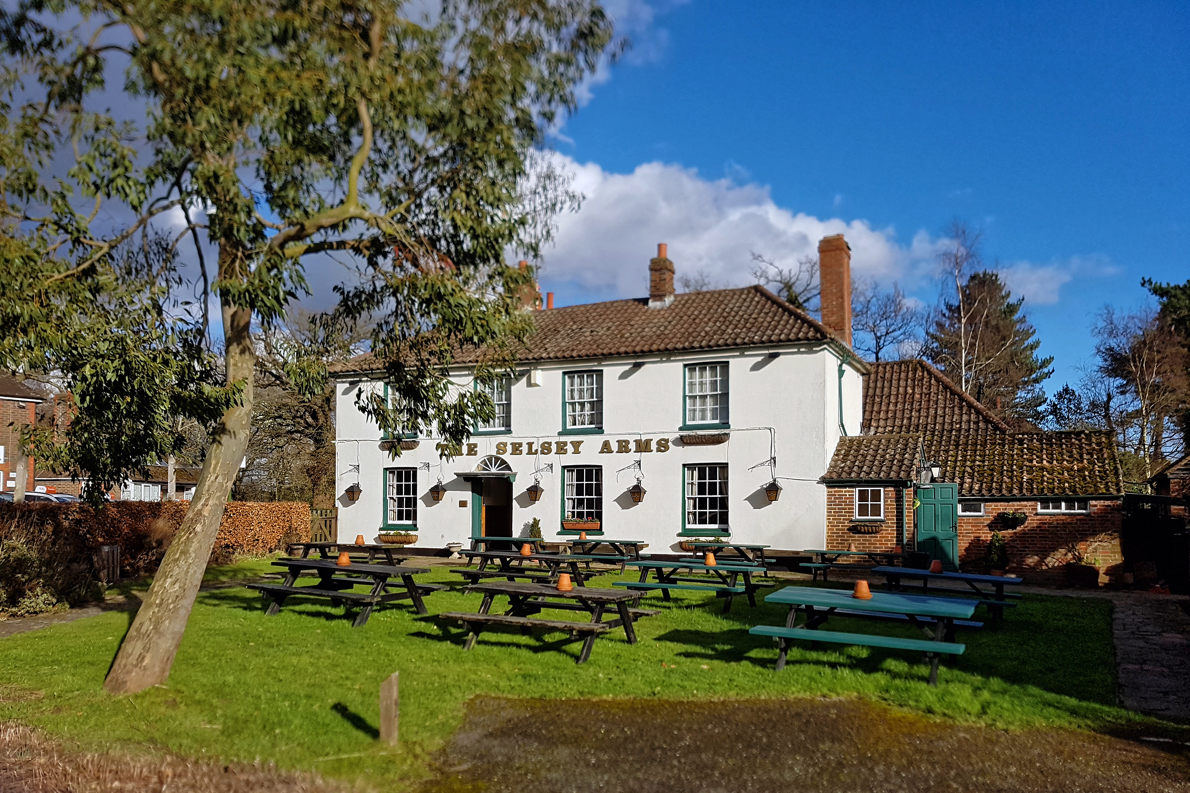
Broadford Bridge Images

Images are sourced within 2km of 50.982836/-0.437449 or Grid Reference TQ0921. Thanks to Geograph Open Source API. All images are credited.

Gateway with a view Looking westwards from the West Sussex Literary Trail.
Gateway with a view
Looking westwards from the West Sussex Literary Trail.
West Sussex Literary Trail Passing through unnamed woodland near Woods Hill.
West Sussex Literary Trail
Passing through unnamed woodland near Woods Hill.
Track heading east from Broadford Bridge Road This is signed as a public footpath but is not mapped as a public right of way.
Track heading east from Broadford Bridge Road
This is signed as a public footpath but is not mapped as a public right of way.
Footpath bridge over ditch by High Copse Farm
Crossing of footpaths east of Broadford Bridge Road
Footpath arrives at Adversane Lane A view the other way is at <a title="https://www.geograph.org.uk/photo/4375146" href="https://www.geograph.org.uk/photo/4375146">Link</a>.
Footpath arrives at Adversane Lane
A view the other way is at Link.
The bridleway known as Steepwood Lane goes south from Adversane Lane See an earlier picture at <a title="https://www.geograph.org.uk/photo/1194219" href="https://www.geograph.org.uk/photo/1194219">Link</a>.
The bridleway known as Steepwood Lane goes south from Adversane Lane
See an earlier picture at Link.
Footpath crosses stream on plank bridge See also <a title="https://www.geograph.org.uk/photo/4377984" href="https://www.geograph.org.uk/photo/4377984">Link</a> for a picture earlier in the year.
Footpath crosses stream on plank bridge
See also Link for a picture earlier in the year.
Footpath arrives at muddy corner of field and junction with bridleway See also <a title="https://www.geograph.org.uk/photo/4374766" href="https://www.geograph.org.uk/photo/4374766">Link</a>.
Footpath arrives at muddy corner of field and junction with bridleway
See also Link.
Bridleway enters field going north
Bridleway junction with Gay Street The bridleway is called Steepwood Lane.
Bridleway junction with Gay Street
The bridleway is called Steepwood Lane.
Field entrance on Gay Street
Barn at Hayes Farm on Gay Street
Tree at Hayes Farm
Tree at Hayes Farm
"Hillside" on Harbolets Road
House opposite footpath junction on Harbolets Road
Looking northwards past house on Harbolets Road
Harbolets Road looking north from junction with Broadford Bridge Road
Show me another place!

Broadford Bridge is located at Grid Ref: TQ0921 (Lat: 50.982836, Lng: -0.437449)

Administrative County: West Sussex

District: Horsham

Police Authority: Sussex

What 3 Words

///backdrop.smuggled.enjoy. Near Billingshurst, West Sussex

Related Wikis

Gay Street, West Sussex

Gay Street is a hamlet in the Horsham District of West Sussex, England. It lies on the North Heath to West Chiltington road 1.9 miles (3.1 km) northeast...

Coneyhurst

Coneyhurst is a hamlet in the Horsham District of West Sussex, England. It lies on the A272 road 1.6 miles (2.5 km) southeast of Billingshurst (where the...

Coolham

Coolham is a small village in the civil parish of Shipley and the Horsham District of West Sussex, England. It is located at the crossroads of the A272...

RAF Coolham

Royal Air Force Coolham or more simply RAF Coolham is a former Royal Air Force Advanced Landing Ground located in West Sussex, England. The following units...

North Heath

North Heath is a hamlet in the Horsham District of West Sussex, England. It lies just off the A29 road 1.9 miles (3 km) north of Pulborough. The Brinsbury...

Coneyhurst Cutting

Coneyhurst Cutting is a 0.2-hectare (0.49-acre) geological Site of Special Scientific Interest south-east of Billingshurst in West Sussex. It is a Geological...

Adversane

Adversane is a large hamlet in the Horsham District of West Sussex, England, located 1.5 miles south of Billingshurst (where, at the 2011 Census, the population...

West Chiltington

West Chiltington is a village and civil parish in the Horsham district of West Sussex, England. It lies on the Storrington to Broadford Bridge road, 2...

Nearby Amenities

Located within 500m of 50.982836,-0.437449
Broadford Bridge
Place: hamlet
Source: npe
Lat/Long: 50.9831776/-0.4391842
Broadford Bridge
Naptan AtcoCode: 4400HR0364
Naptan Bearing: S
Naptan BusStopType: CUS
Naptan CommonName: Broadford Bridge
Naptan Indicator: adj West Chiltington Lane
Naptan Landmark: West Chiltington Lane
Naptan NaptanCode: wsxawdwm
Naptan Street: Harbolets Road
Naptan Verified: no
Source: naptan_import
Lat/Long: 50.9842408/-0.4401424
Broadford Bridge
Naptan AtcoCode: 4400HR0365
Naptan Bearing: N
Naptan BusStopType: CUS
Naptan CommonName: Broadford Bridge
Naptan Indicator: opp West Chiltington Lane
Naptan Landmark: West Chiltington Lane
Naptan NaptanCode: wsxawdwp
Naptan Street: Harbolets Road
Naptan Verified: no
Source: naptan_import
Lat/Long: 50.9835169/-0.4398105
Barrier: stile
Lat/Long: 50.9828725/-0.4444977
Post Box
Operator: Royal Mail
Post Box Type: lamp
Ref: RH14 50
Royal Cypher: EIIR
Royal Cypher Wikidata: Q33102113
Lat/Long: 50.9837308/-0.4394612
Advertising: board
Colour: black
Covered: yes
Last Checked: 2022-05-14
Lit: no
Operator: West Chiltington Parish Council
Source: survey
Lat/Long: 50.9837624/-0.4394642
Clayes Farm
Place: farm
Lat/Long: 50.980588/-0.4394771
Man Made: utility_pole
Lat/Long: 50.9830314/-0.438854
Man Made: utility_pole
Lat/Long: 50.9830497/-0.4374257
Man Made: utility_pole
Lat/Long: 50.9830813/-0.434986
Man Made: utility_pole
Lat/Long: 50.9830877/-0.4336449
Man Made: utility_pole
Lat/Long: 50.9831003/-0.4325117
Man Made: utility_pole
Lat/Long: 50.9824017/-0.4407226
Man Made: utility_pole
Lat/Long: 50.9820618/-0.4417597
Man Made: utility_pole
Lat/Long: 50.981836/-0.4432316
Brookhouse Farm
Place: farm
Lat/Long: 50.9831837/-0.4383326
Granary Farm
Place: farm
Lat/Long: 50.9829511/-0.4419768
Homefield Farm
Place: farm
Lat/Long: 50.9837352/-0.4431522
Southway Stud
Place: farm
Lat/Long: 50.9827177/-0.4337896
The data included in this document is from www.openstreetmap.org. The data is made available under ODbL.

Have you been to Broadford Bridge?

Leave your review of Broadford Bridge below (or comments, questions and feedback).