Broadford
Settlement in Surrey Guildford
England
Broadford
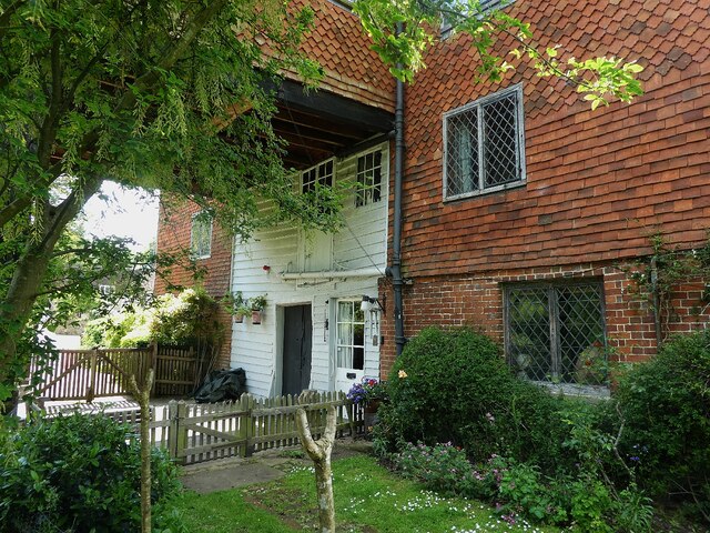
Broadford is a small village located in the borough of Guildford in Surrey, England. Situated approximately 30 miles southwest of London, it is nestled within the scenic Surrey Hills Area of Outstanding Natural Beauty. The village is known for its picturesque surroundings and tranquil atmosphere.
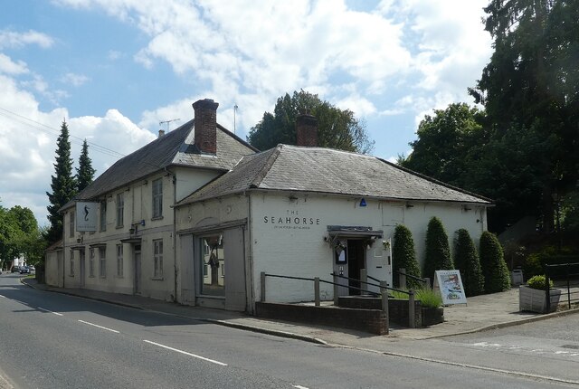
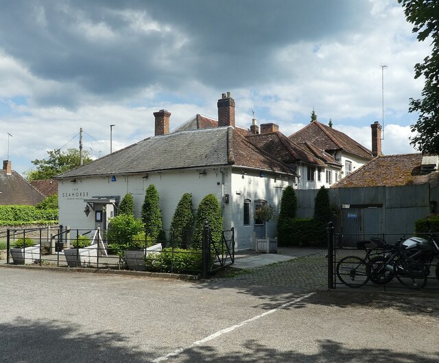
Broadford is primarily a residential area, with a population of around 1,000 people. The village offers a range of amenities to its residents, including a local primary school, a community center, and a village hall. There are also several shops and a pub, providing convenience for locals.
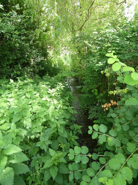
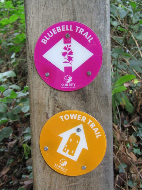
The natural beauty of the area attracts outdoor enthusiasts, with numerous walking and cycling trails in the surrounding countryside. The nearby Surrey Hills offer stunning views, making it a popular destination for hikers and nature lovers. Additionally, the village benefits from being close to the larger towns of Guildford and Dorking, which provide further shopping and leisure options.
Broadford is well-connected to other parts of Surrey and London. The village is served by regular bus services, providing easy access to nearby towns and villages. The A25 road runs through the village, connecting it to the wider road network. The closest railway station is located in Guildford, offering direct train services to London Waterloo.
Overall, Broadford offers a peaceful and scenic environment, making it an attractive place to live for those seeking a rural setting within easy reach of urban amenities.
If you have any feedback on the listing, please let us know in the comments section below.
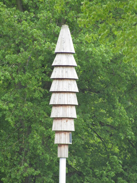
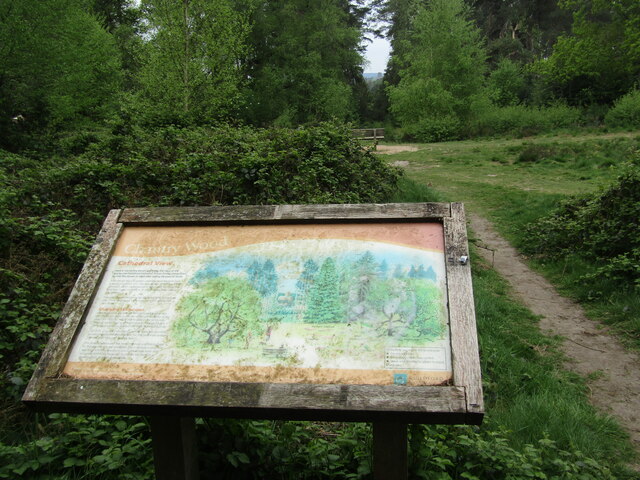
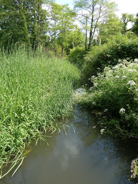
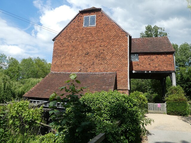
Broadford Images
Images are sourced within 2km of 51.209137/-0.570518 or Grid Reference SU9946. Thanks to Geograph Open Source API. All images are credited.
Broadford is located at Grid Ref: SU9946 (Lat: 51.209137, Lng: -0.570518)
Administrative County: Surrey
District: Guildford
Police Authority: Surrey
What 3 Words
///detect.icons.unless. Near Bramley, Surrey
Nearby Locations
Related Wikis

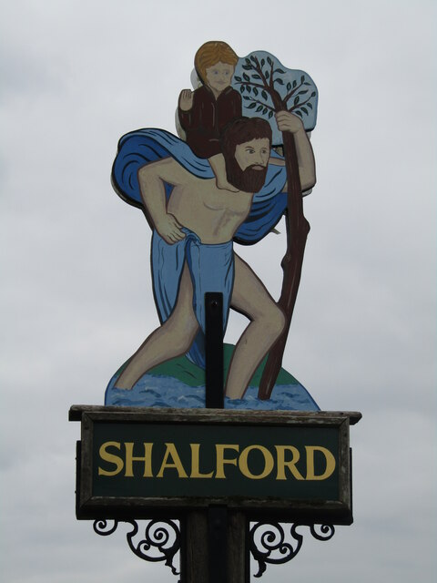
Shalford, Surrey
Shalford is a village and civil parish in Surrey, England on the A281 Horsham road immediately south of Guildford. It has a railway station which is between...

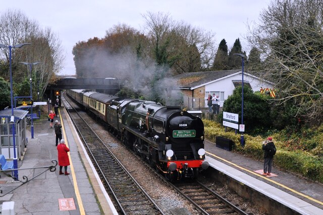
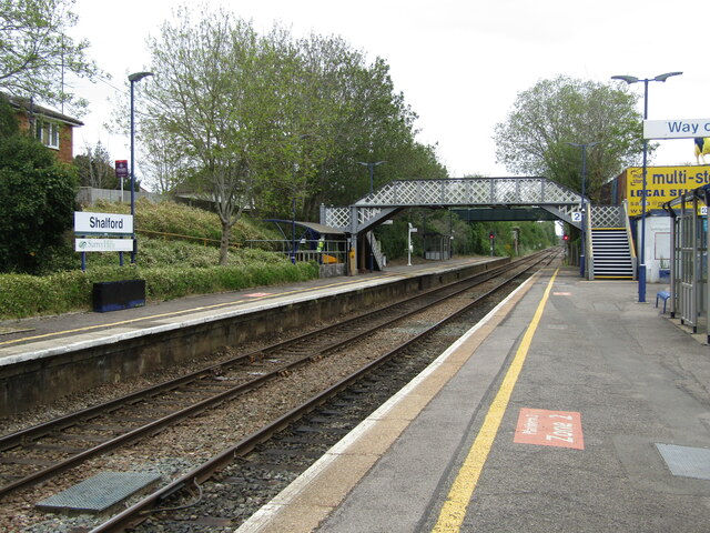
Shalford railway station
Shalford railway station serves the village of Shalford, Surrey, England. The station, and all trains serving it, are operated by Great Western Railway...
Wey Valley Meadows
Wey Valley Meadows is a 94.1-hectare (233-acre) biological Site of Special Scientific Interest north of Godalming in Surrey.This 4-kilometre (2.5-mile...

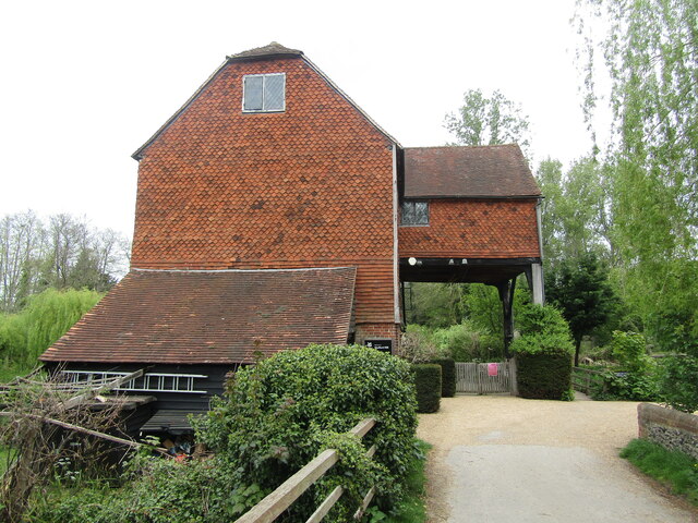
Shalford Mill
Shalford Mill is an 18th-century Grade II* listed watermill located on the River Tillingbourne in Shalford, near Guildford, Surrey, England. In 1932, the...
Artington
Artington is a village and civil parish in the borough of Guildford, Surrey, England. It covers the area from the southern edge of the built-up centre...

Chinthurst Hill
Chinthurst Hill is a 17.2-hectare (43-acre) Local Nature Reserve south of Guildford in Surrey. It is owned by Surrey County Council and managed by Surrey...
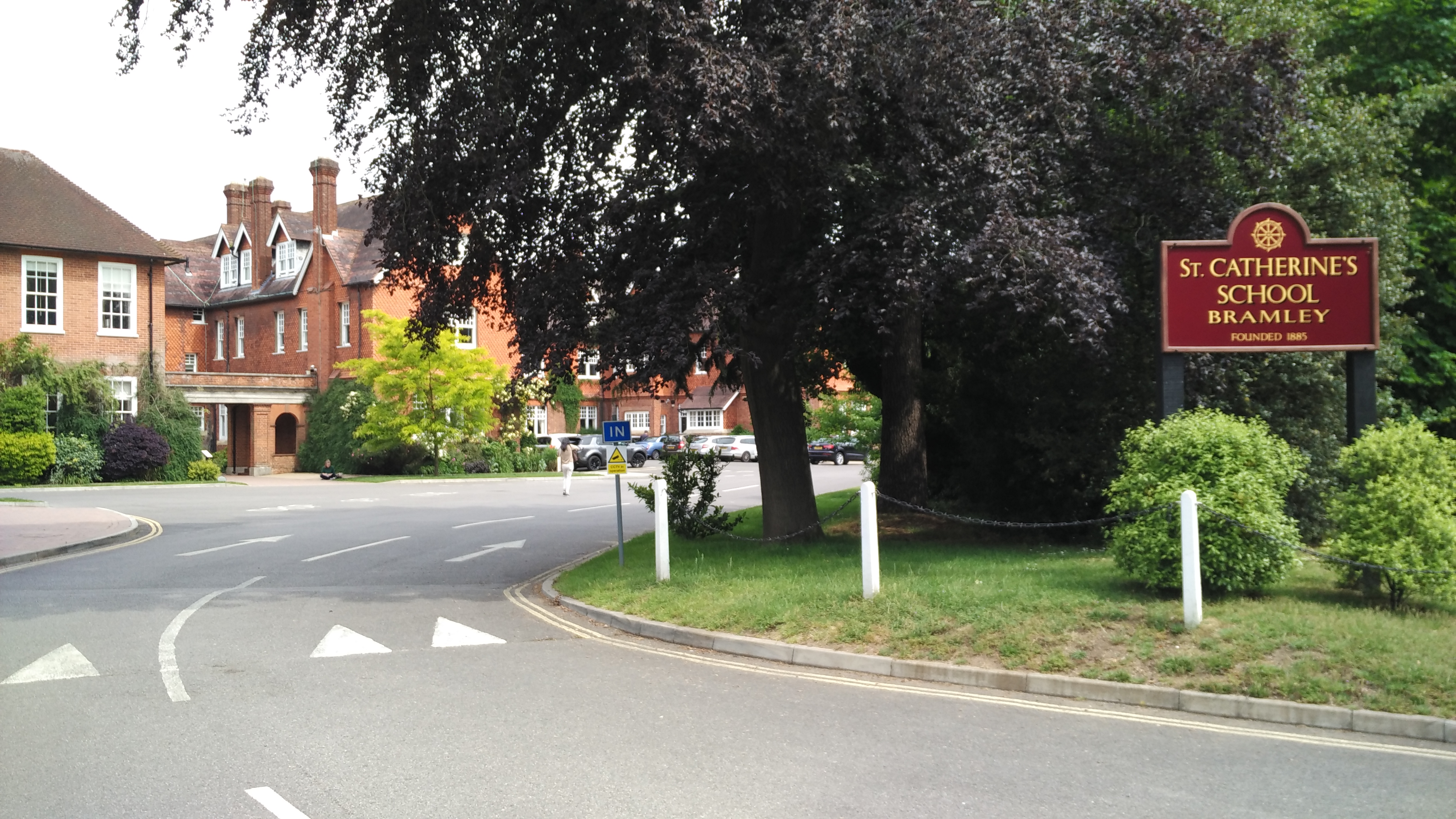
St Catherine's School, Bramley
St Catherine's School is an independent girls' boarding and day school in the village of Bramley, near Guildford, Surrey, England. The school is divided...

River Tillingbourne
The River Tillingbourne (also known as the Tilling Bourne) runs along the south side of the North Downs and joins the River Wey at Guildford. Its source...
Nearby Amenities
Located within 500m of 51.209137,-0.570518Have you been to Broadford?
Leave your review of Broadford below (or comments, questions and feedback).