Little Plantation
Wood, Forest in Lincolnshire North Kesteven
England
Little Plantation
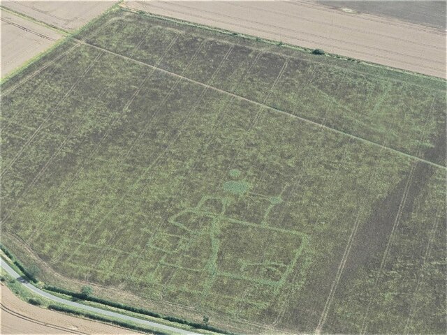
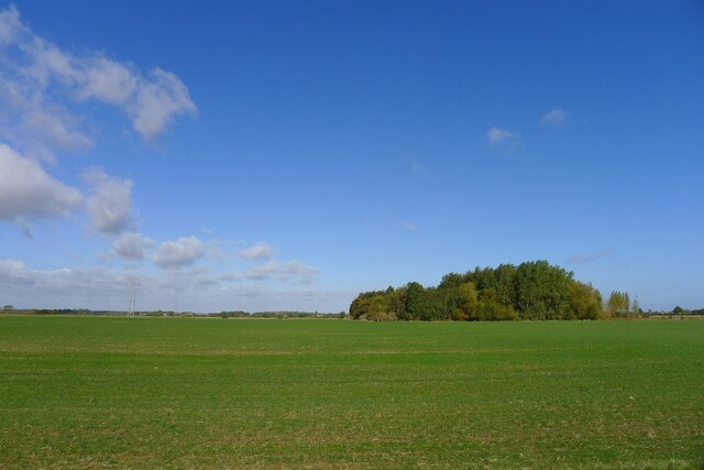
Little Plantation is a small forested area located in the county of Lincolnshire, England. Situated in the heart of the countryside, it spans an area of approximately 50 acres, making it a modest but charming woodland retreat. The forest is known for its diverse range of trees, including oak, beech, and birch, which create a lush canopy of greenery throughout the year.
The woodland is a haven for nature enthusiasts, offering a peaceful and serene environment for walking, birdwatching, and exploring. The forest is home to a variety of wildlife, including deer, squirrels, and numerous species of birds, making it a popular destination for wildlife enthusiasts and photographers alike.
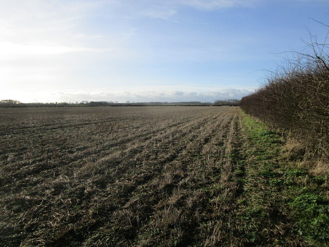
Little Plantation boasts several well-maintained walking trails that wind through the forest, allowing visitors to fully immerse themselves in its natural beauty. These trails vary in length and difficulty, accommodating both casual strollers and more avid hikers. Along the way, visitors can enjoy breathtaking views of the surrounding countryside, tranquil streams, and picturesque meadows.
The woodland is also popular for its seasonal attractions. In the spring, the forest floor is adorned with a vibrant carpet of bluebells, creating a breathtaking sight that attracts photographers and nature lovers from far and wide. In the autumn, the trees transform into a kaleidoscope of red, orange, and gold, providing a stunning backdrop for leisurely walks and photography sessions.
Overall, Little Plantation offers a serene escape from the hustle and bustle of everyday life, providing a tranquil setting to connect with nature and enjoy the beauty of Lincolnshire's countryside.
If you have any feedback on the listing, please let us know in the comments section below.
Little Plantation Images
Images are sourced within 2km of 52.922158/-0.37654465 or Grid Reference TF0937. Thanks to Geograph Open Source API. All images are credited.


Little Plantation is located at Grid Ref: TF0937 (Lat: 52.922158, Lng: -0.37654465)
Administrative County: Lincolnshire
District: North Kesteven
Police Authority: Lincolnshire
What 3 Words
///snake.expensive.tiptoes. Near Billingborough, Lincolnshire
Nearby Locations
Related Wikis
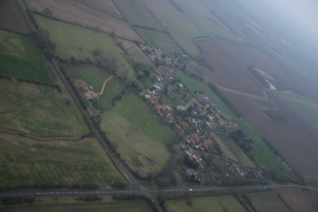
Spanby
Spanby is a village and former civil parish in the North Kesteven district of Lincolnshire, England, about 5 miles (8 km) south from the town of Sleaford...
Threekingham
Threekingham (sometimes Threckingham or Tricengham) is a village in the North Kesteven district of Lincolnshire, England. The population of the civil parish...
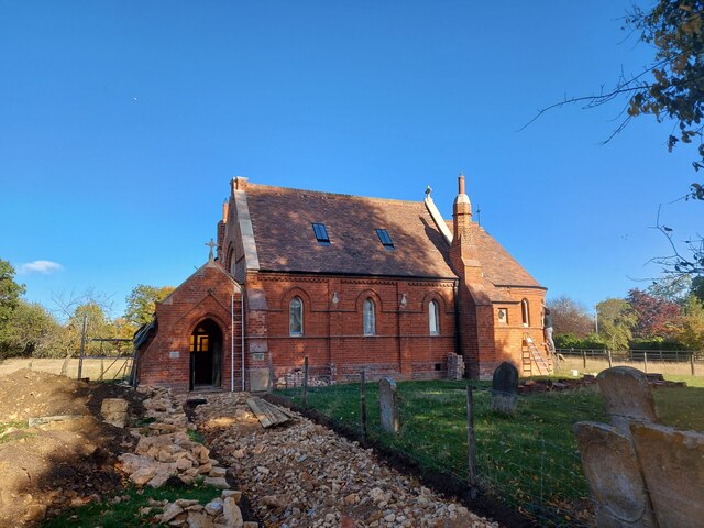
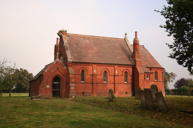
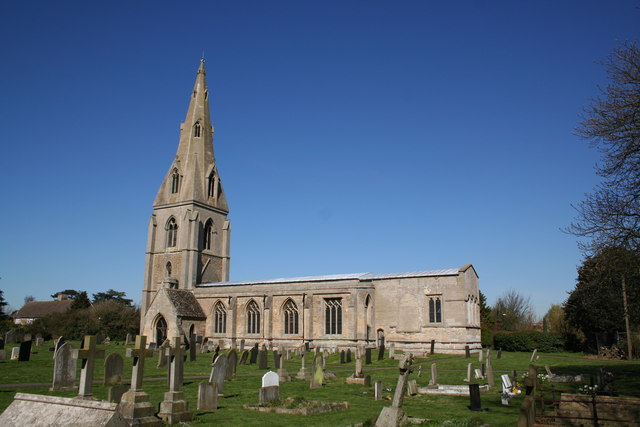
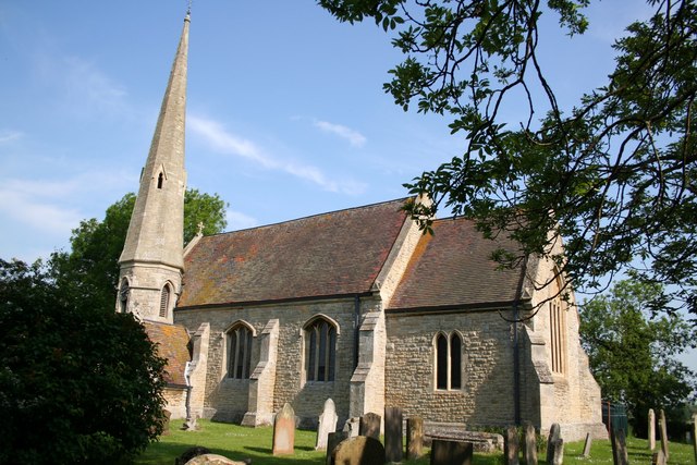
St Peter's Church, Threekingham
St Peter's Church is a church in Threekingham, Lincolnshire. It is dedicated to St. Peter ad Vincula (St Peter in chains). It became a Grade I listed building...

Stow Fair, Lincolnshire
Stow Fair was an English medieval fair inaugurated in 1233 and held at Stow Green Hill in Lincolnshire.The Prior of Sempringham was granted permission...

Osbournby
Osbournby (locally pronounced Ozzenby or Ossenby) is a small village and civil parish in the North Kesteven district of Lincolnshire, England. The population...
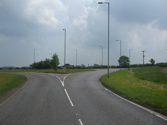
Threekingham Bar
Threekingham Bar is the name given to interception of the A52 (Grantham to Boston) and A15 (Peterborough to Lincoln and Hull) roads, 1 mile (1.6 km) to...
Scredington
Scredington is a village and civil parish in the North Kesteven district of Lincolnshire, England. The population of the civil parish at the 2011 census...

Horbling
Horbling is a village and civil parish in the South Kesteven district of Lincolnshire, England. It lies on the B1177, 7 miles (11 km) south-east of Sleaford...
Nearby Amenities
Located within 500m of 52.922158,-0.37654465Have you been to Little Plantation?
Leave your review of Little Plantation below (or comments, questions and feedback).