Upper Weston Wood
Wood, Forest in Surrey Guildford
England
Upper Weston Wood
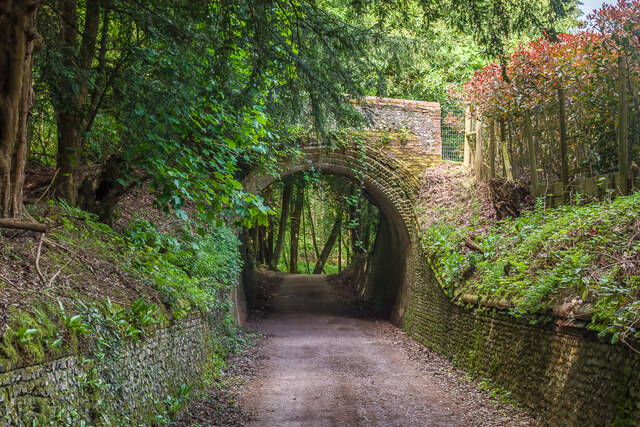
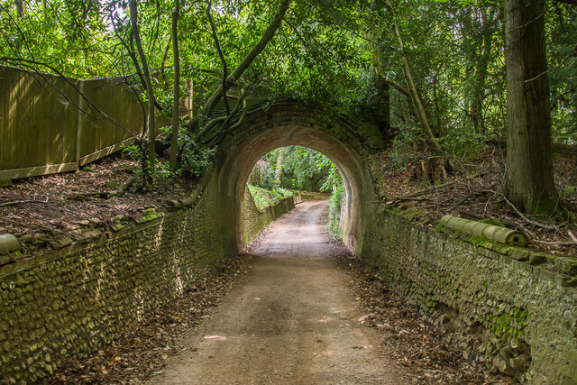
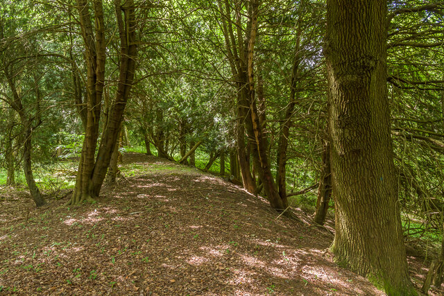
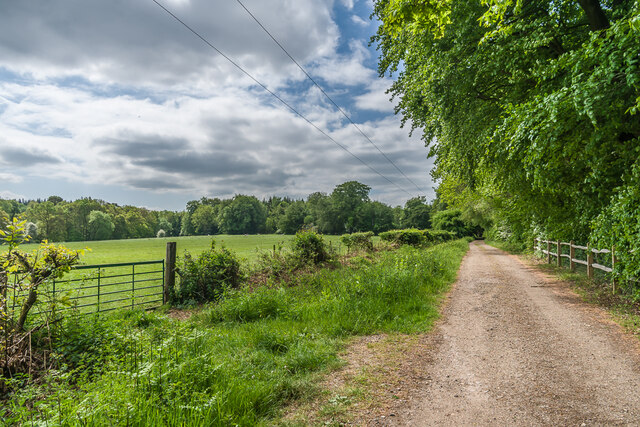
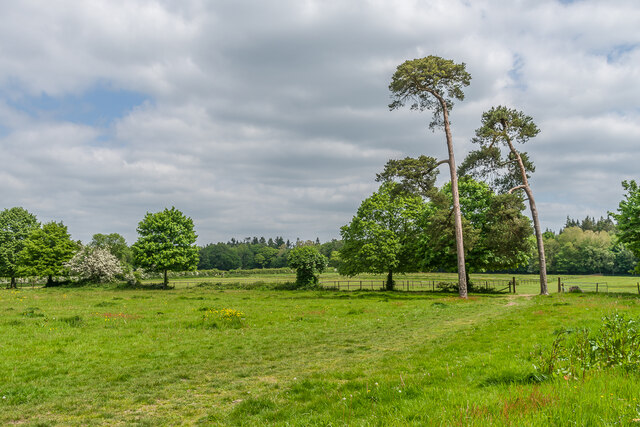
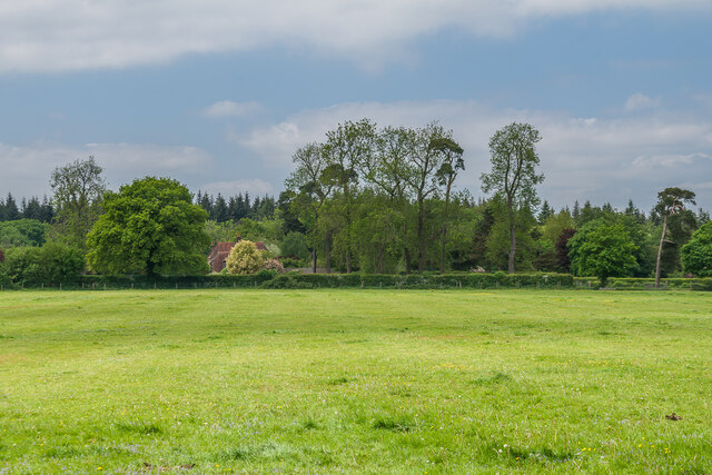
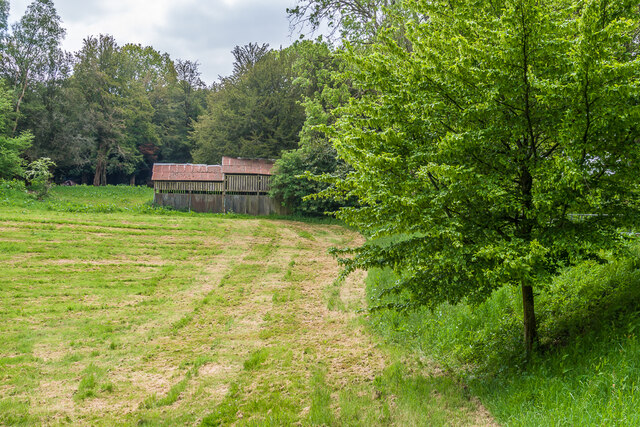
Upper Weston Wood is a picturesque woodland area located in the county of Surrey, England. Situated in the southern part of the county, it covers an area of approximately 100 acres and is known for its natural beauty and diverse range of flora and fauna.
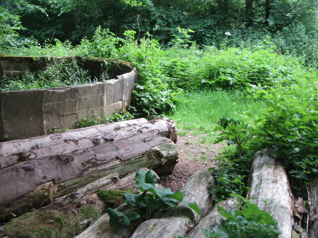
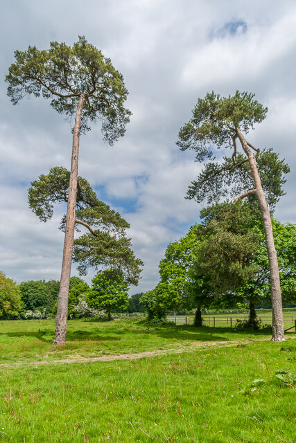
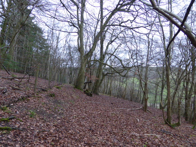
The wood is predominantly made up of broadleaf trees, including oak, beech, and ash, which create a dense canopy overhead. These trees provide shelter and habitat for a variety of wildlife, including birds, small mammals, and insects. The forest floor is covered with a rich carpet of wildflowers, ferns, and mosses, adding to the enchanting atmosphere of the wood.
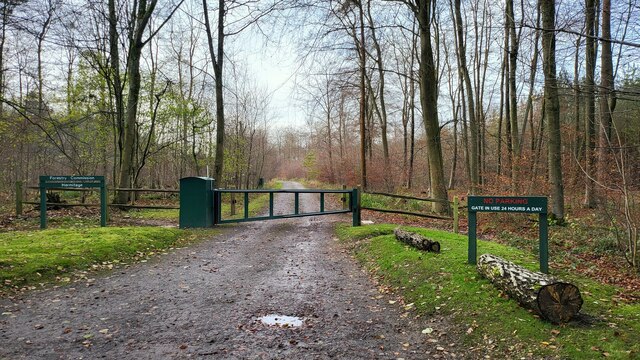
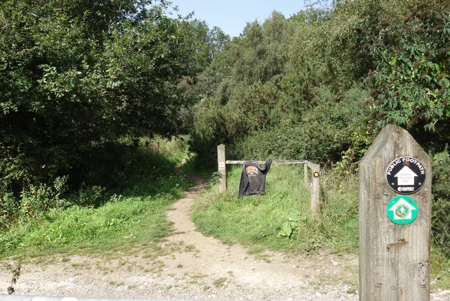
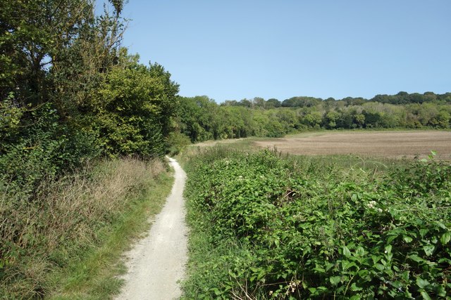
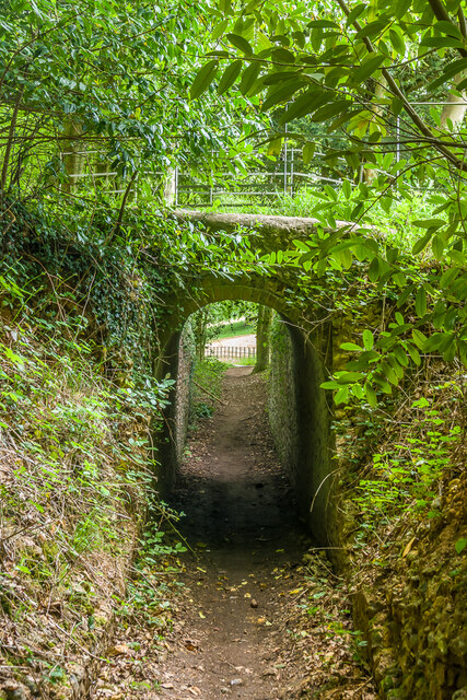
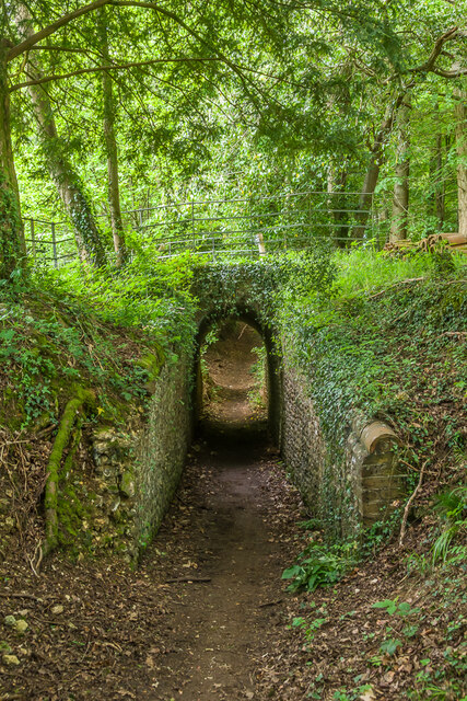
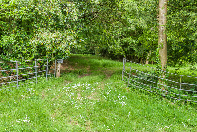
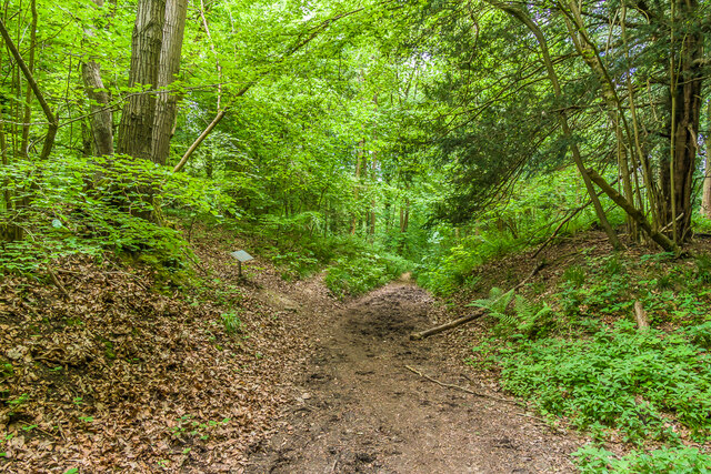
Traversing through Upper Weston Wood, visitors can explore a network of well-maintained footpaths and trails. These paths wind their way through the woodland, offering breathtaking vistas of the surrounding countryside. Nature enthusiasts will be delighted by the opportunity to spot rare and endangered species, such as the lesser-spotted woodpecker or the silver-washed fritillary butterfly.
The wood is also a popular destination for outdoor activities, including hiking, birdwatching, and photography. Its tranquil and serene environment provides an ideal escape from the hustle and bustle of everyday life. Visitors can enjoy picnicking in designated areas or simply relax and unwind amidst the natural beauty of the woodland.
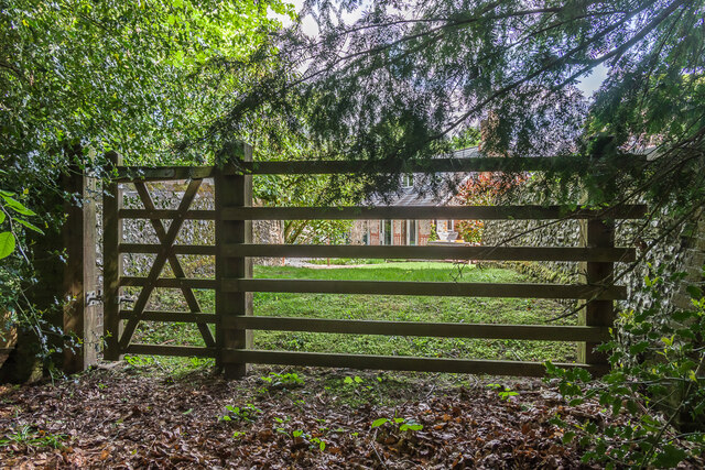
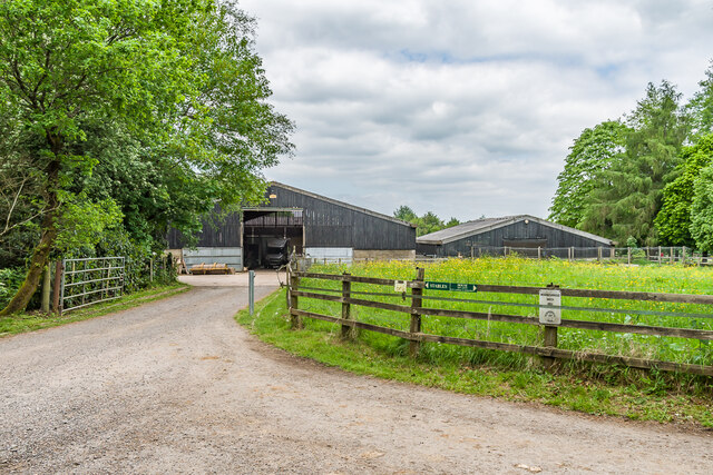
Upper Weston Wood is easily accessible by both public transportation and private vehicles. It is located just a short distance from the nearby village of Upper Weston, where visitors can find amenities such as parking, restrooms, and information boards. Overall, Upper Weston Wood is a haven for nature lovers and a treasured gem in the heart of Surrey.
If you have any feedback on the listing, please let us know in the comments section below.
Upper Weston Wood Images
Images are sourced within 2km of 51.23929/-0.43653868 or Grid Reference TQ0950. Thanks to Geograph Open Source API. All images are credited.
Upper Weston Wood is located at Grid Ref: TQ0950 (Lat: 51.23929, Lng: -0.43653868)
Administrative County: Surrey
District: Guildford
Police Authority: Surrey
What 3 Words
///taped.glow.refuse. Near West Horsley, Surrey
Related Wikis

Netley Heath
Netley Heath is an area of woods and heathland in the parish of Shere close to Gomshall in Surrey, England. It is part of a larger geological stratum across...

Upper Common Pits
Upper Common Pits is a 3-hectare (7.4-acre) geological Site of Special Scientific Interest in the north of Gomshall in Surrey. It is a Geological Conservation...
Colekitchen Down
Colekitchen Down is a 3-hectare (7.4-acre) nature reserve north of Gomshall in Surrey. It is managed by the Surrey Wildlife Trust.This sloping area of...

Surrey
Surrey () is a ceremonial county in South East England and one of the home counties. It is bordered by Greater London to the north east, Kent to the east...

Sheepleas
Sheepleas is a 99.9-hectare (247-acre) biological and geological Site of Special Scientific Interest east of Guildford in Surrey. It is a Geological Conservation...

Stockbroker Belt
The Stockbroker Belt is a loosely defined region overlapping the borders of the London metropolitan area and the commuter region surrounding Greater London...

List of local nature reserves in Surrey
Local nature reserves are designated by local authorities under the National Parks and Access to the Countryside Act 1949. The local authority must have...

Surrey Wildlife Trust
Surrey Wildlife Trust (SWT) was founded in 1959 as Surrey Naturalists' Trust and it is one of forty-six wildlife trusts covering Great Britain, Northern...
Nearby Amenities
Located within 500m of 51.23929,-0.43653868Have you been to Upper Weston Wood?
Leave your review of Upper Weston Wood below (or comments, questions and feedback).