Stonley Wood

Wood, Forest in Bedfordshire

England

Stonley Wood

Entering Hexton
Entering Hexton Credit: David Howard

Stonley Wood is a picturesque forest located in the county of Bedfordshire, England. Situated in the heart of the English countryside, this wood encompasses an area of approximately 100 acres, making it a relatively small yet charming forest.

The forest is composed mainly of deciduous trees, such as oak, ash, and beech, which provide a beautiful canopy of greenery throughout the year. These trees create a tranquil and serene ambiance, making Stonley Wood a popular destination for nature enthusiasts and hikers alike.

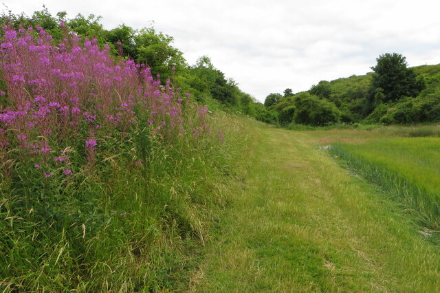
The forest is home to a diverse range of flora and fauna. Wildflowers, such as bluebells and primroses, add pops of color to the forest floor during springtime, while various species of birds, including woodpeckers and owls, can be spotted among the treetops.

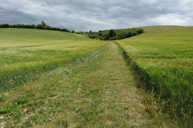
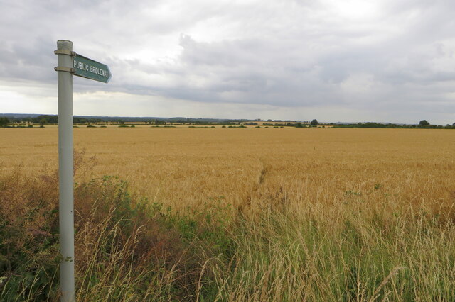
Stonley Wood offers several walking trails that weave through its enchanting landscape. These trails vary in difficulty and length, catering to both casual strollers and avid hikers. Along the paths, visitors can find informative signposts, providing interesting facts about the woodland's history, wildlife, and conservation efforts.

The forest also boasts a small picnic area, complete with benches and tables, where visitors can relax and enjoy a packed lunch surrounded by nature's beauty. Additionally, there is a small visitor center that offers educational resources about the forest and its inhabitants.

Overall, Stonley Wood in Bedfordshire provides a delightful escape from the hustle and bustle of everyday life, offering visitors a chance to immerse themselves in the tranquility of nature.

If you have any feedback on the listing, please let us know in the comments section below.
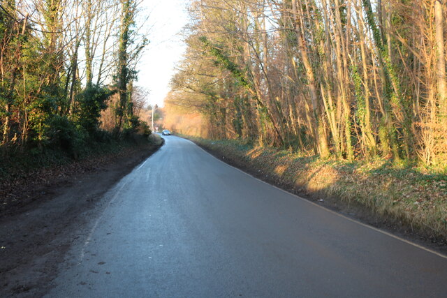
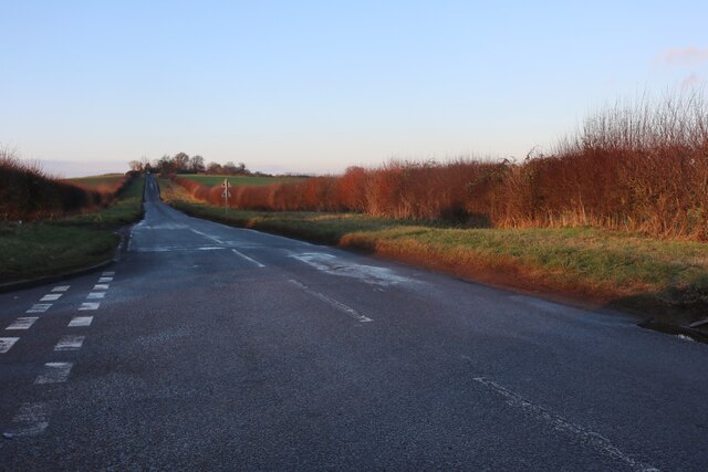
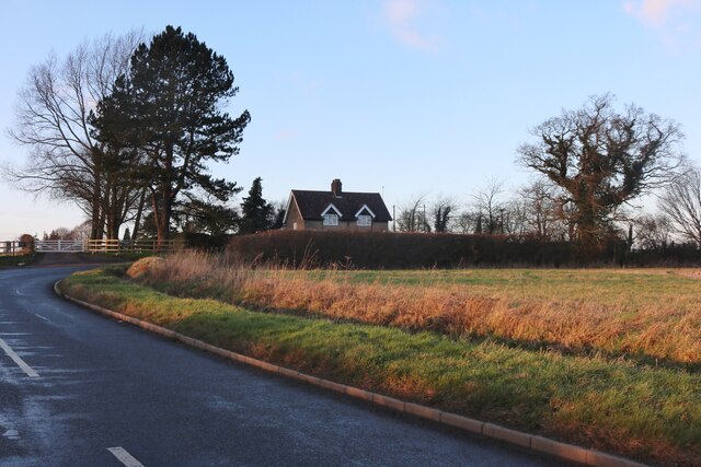
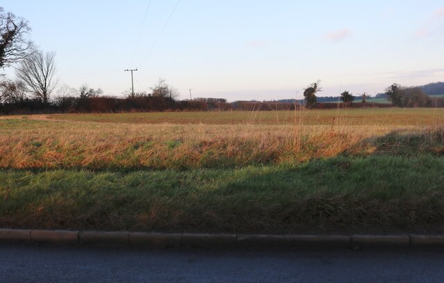
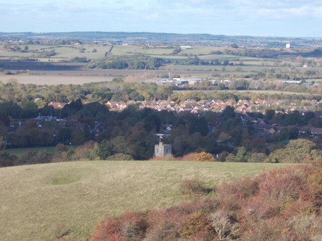
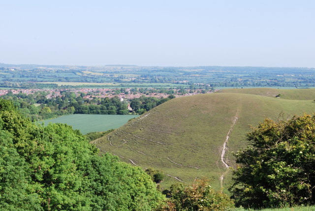
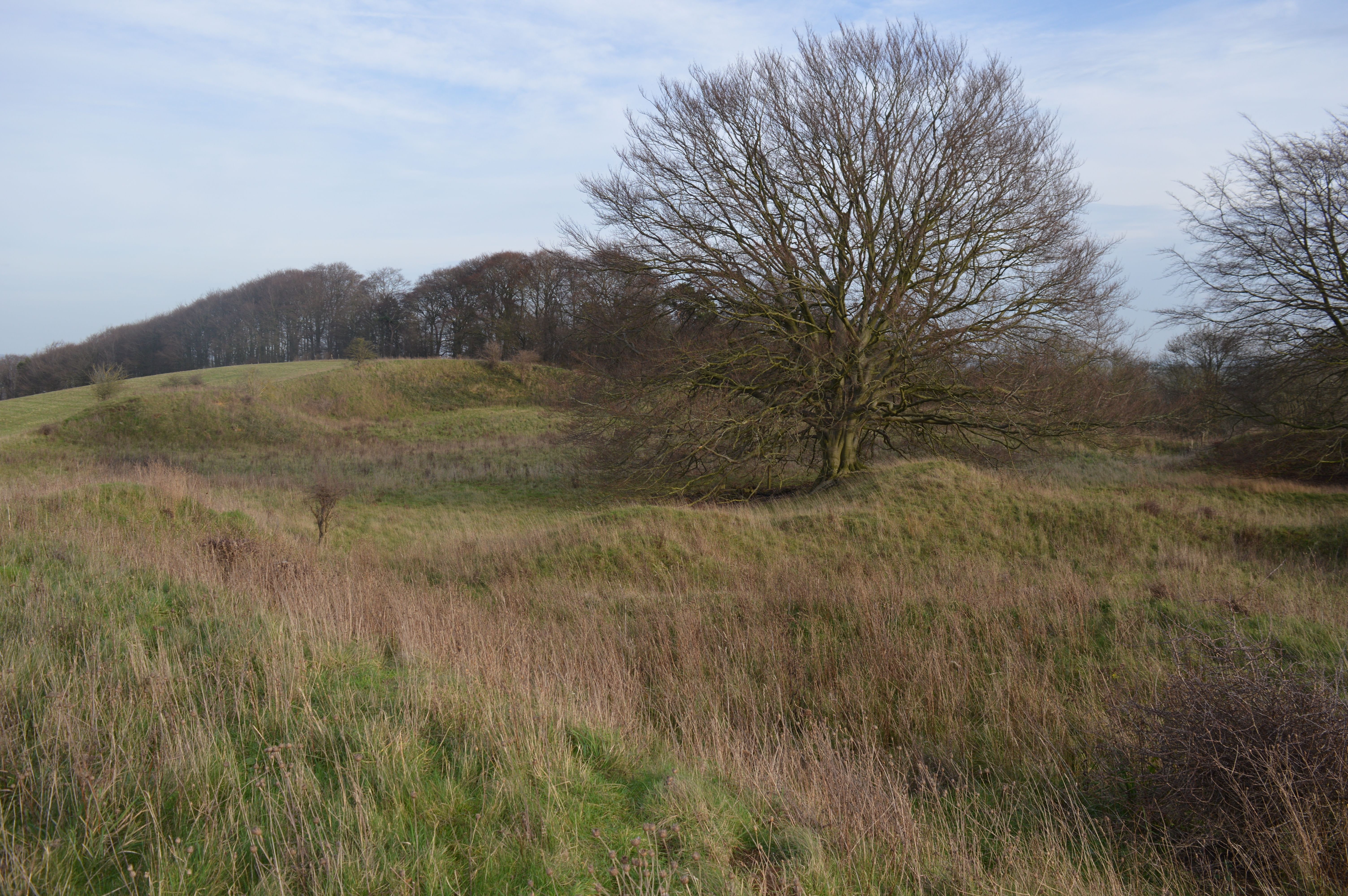
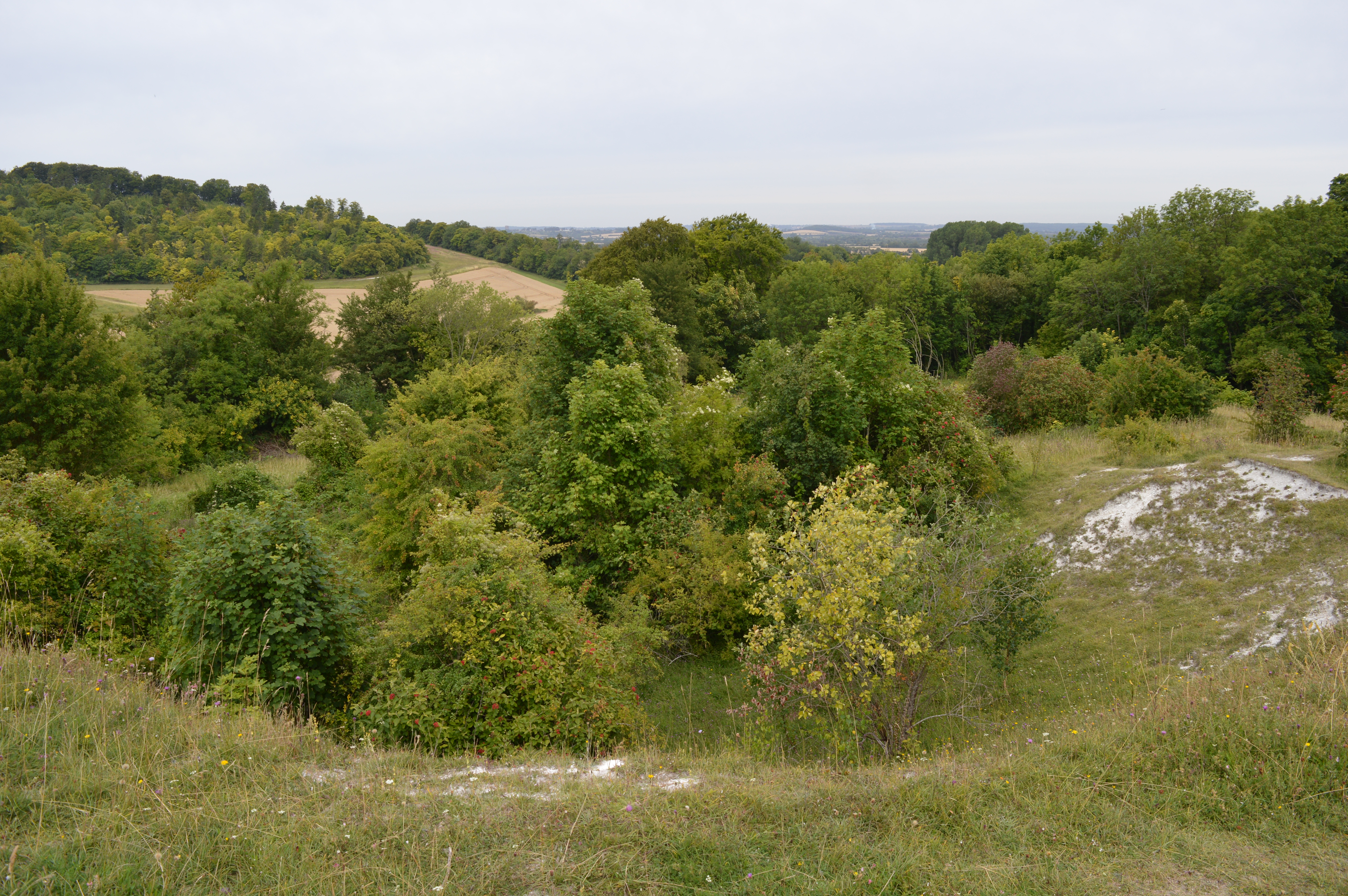
Stonley Wood Images

Images are sourced within 2km of 51.951026/-0.41199522 or Grid Reference TL0929. Thanks to Geograph Open Source API. All images are credited.

Entering Hexton
Entering Hexton
Hexton Road
Hexton Road
Hexton Road, Lilley
Hexton Road, Lilley
Hexton Road, Lilley The sharp bend is to a small remaining section of the Roman Icknield Way
Hexton Road, Lilley
The sharp bend is to a small remaining section of the Roman Icknield Way
Field by Hexton Road, Lilley
Hexton Road
Hexton Road
Ploughed field in Hexton
Field in Hexton
Field in Hexton
Bridleway going up the hill
Path through the barley At least on the map it is
Path through the barley
At least on the map it is
Wild flowers by the side of the bridleway
Barton-le-Clay village sign Barton-le-Clay is a village in Bedfordshire. More details on this link including a photo of the village sign ! <span class="nowrap"><a title="https://en.wikipedia.org/wiki/Barton-le-Clay" rel="nofollow ugc noopener" href="https://en.wikipedia.org/wiki/Barton-le-Clay">Link</a><img style="margin-left:2px;" alt="External link" title="External link - shift click to open in new window" src="https://s1.geograph.org.uk/img/external.png" width="10" height="10"/></span>
Barton-le-Clay village sign
Barton-le-Clay is a village in Bedfordshire. More details on this link including a photo of the village sign ! LinkExternal link
Church at Barton-le-Clay Chequer-board stonework is seen on the outer facade of the building.
Church at Barton-le-Clay
Chequer-board stonework is seen on the outer facade of the building.
Barton Hills in view from Barton-le-Clay A steady climb uphill leads away from the village which is soon seen below in retrospect.
Barton Hills in view from Barton-le-Clay
A steady climb uphill leads away from the village which is soon seen below in retrospect.
Gate and sign for Barton Hills Nature Reserve
Bench view with Sharpenhoe Clapper in the background Across the road divide of the Bartonhill cutting, the wooded hillfort of Sharpenhoe Clapper is seen on the distant horizon.
Bench view with Sharpenhoe Clapper in the background
Across the road divide of the Bartonhill cutting, the wooded hillfort of Sharpenhoe Clapper is seen on the distant horizon.
Church in sunshine among the trees A distant glimpse of the church at Barton-le-Clay from the Barton Hills.
Church in sunshine among the trees
A distant glimpse of the church at Barton-le-Clay from the Barton Hills.
Path on the west side of the stream below Leet Wood, Barton-le-Clay The public footpath is on the east side. Both look to be well-used, although with much sticky chalky clay.
Path on the west side of the stream below Leet Wood, Barton-le-Clay
The public footpath is on the east side. Both look to be well-used, although with much sticky chalky clay.
Show me another place!

Stonley Wood is located at Grid Ref: TL0929 (Lat: 51.951026, Lng: -0.41199522)

Unitary Authority: Central Bedfordshire

Police Authority: Bedfordshire

What 3 Words

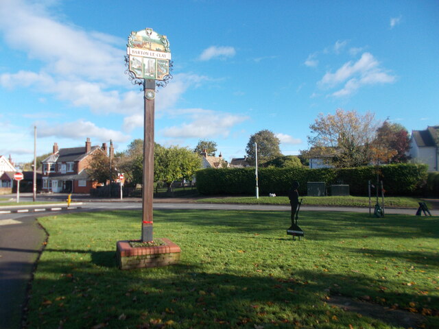
///tone.cared.feed. Near Barton-le-Clay, Bedfordshire

Related Wikis

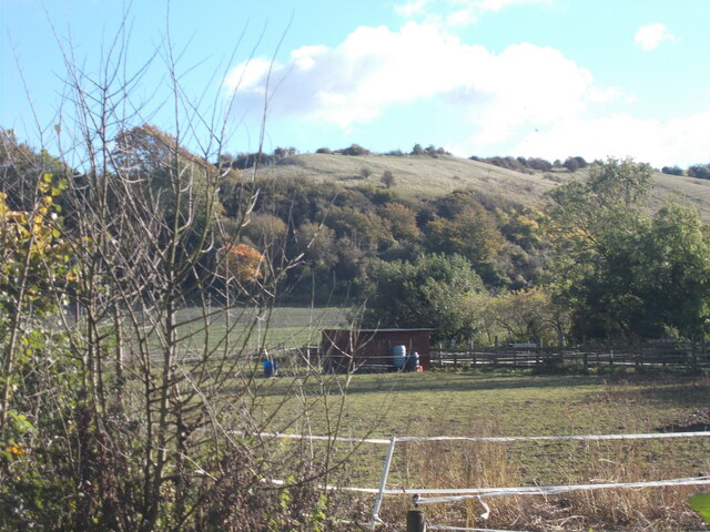
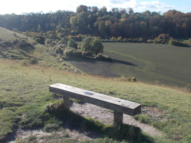
Barton Hills, Bedfordshire

Barton Hills are situated southeast of the village of Barton-le-Clay in the English county of Bedfordshire. They are part of the Chilterns and hiking...
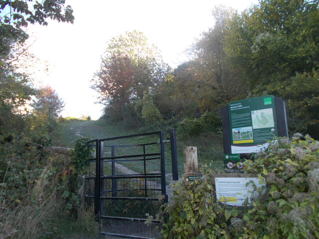
Barton Gravel Pit

Barton Gravel Pit is a 1.1-hectare (2.7-acre) nature reserve east of Barton-le-Clay in Bedfordshire. It is managed by the Wildlife Trust for Bedfordshire...

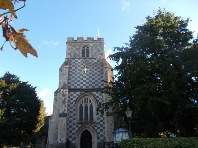
Church of St Nicholas, Barton le Clay

Church of St Nicholas is a Grade I listed church in Barton le Clay, Bedfordshire, England. It became a listed building on 3 February 1967. == History... ==

Hexton Chalk Pit

Hexton Chalk Pit is a 1.9-hectare (4.7-acre) nature reserve in Hexton in North Hertfordshire, managed by the Herts and Middlesex Wildlife Trust. It is...

Nearby Amenities

Located within 500m of 51.951026,-0.41199522
Bench
Backrest: no
Material: wood
Seats: 3
Source: gps
Lat/Long: 51.9550122/-0.4128035
barton_spring
Spring: yes
Lat/Long: 51.9533578/-0.416343
Barrier: kissing_gate
Bicycle: yes
Foot: yes
Lat/Long: 51.9550497/-0.4122804
Barrier: kissing_gate
Bicycle: no
Foot: yes
Source: GPS
Lat/Long: 51.9512935/-0.4166722
Bench
Lat/Long: 51.9531114/-0.4113554
Bench
Lat/Long: 51.9515773/-0.4157113
Barton Hills NNR
Board Type: information
Information: board
Operator: Natural England
Tourism: information
Lat/Long: 51.9533435/-0.4111714
Barton Hills NNR
Tourism: information
Lat/Long: 51.9512918/-0.4163498
Bicycle: yes
Foot: yes
Lat/Long: 51.9533295/-0.411233
Barrier: kissing_gate
Foot: yes
Source: GPS
Lat/Long: 51.9512013/-0.4163678
TOMMY'S GATE
Barrier: kissing_gate
Foot: yes
Lat/Long: 51.9533438/-0.4111948
The data included in this document is from www.openstreetmap.org. The data is made available under ODbL.

Have you been to Stonley Wood?

Leave your review of Stonley Wood below (or comments, questions and feedback).