Willow Holt
Wood, Forest in Lincolnshire North Kesteven
England
Willow Holt
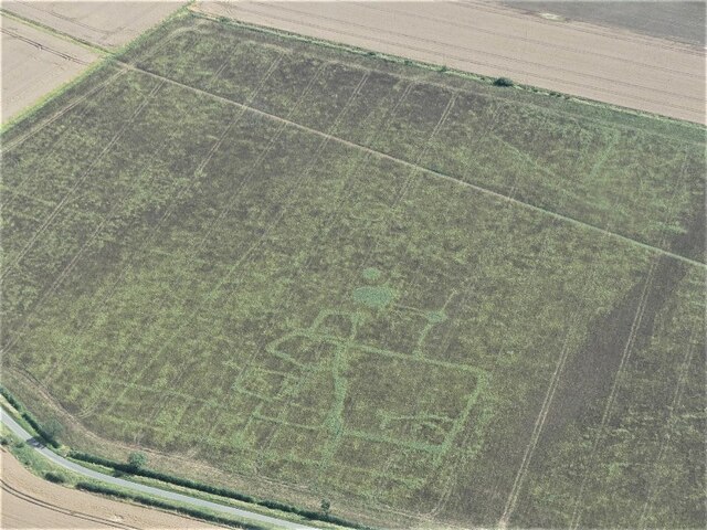
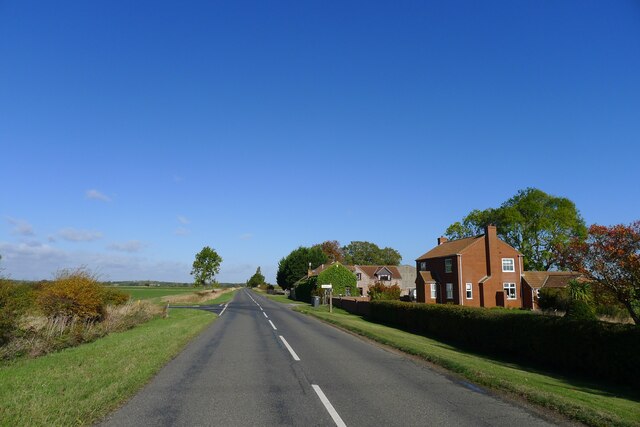
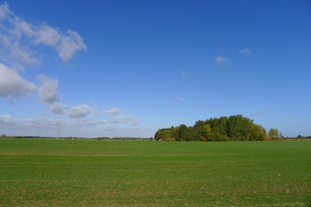
Willow Holt, located in Lincolnshire, England, is a picturesque woodland area known for its dense growth of willow trees. The name "Willow Holt" originates from the Old English word "holt," meaning a small wood or forest. Covering an area of approximately 100 acres, this woodland offers a tranquil escape for nature enthusiasts and is a haven for a diverse range of flora and fauna.
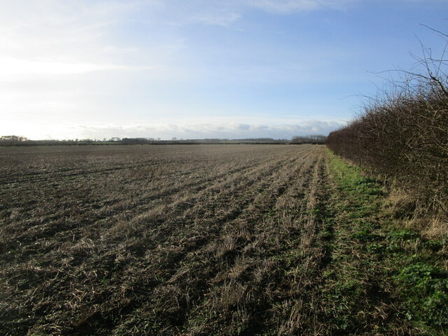
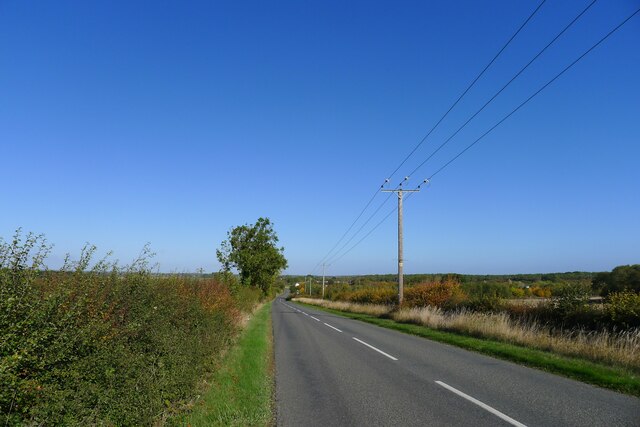
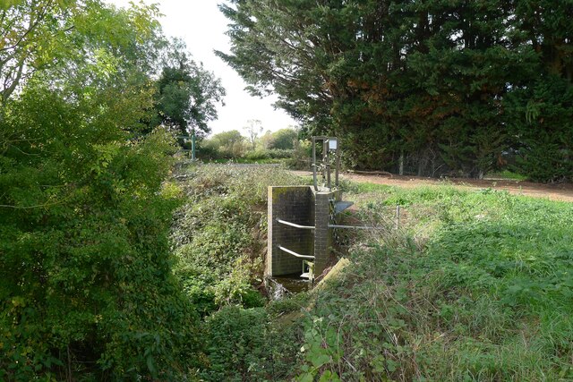
The dominant feature of Willow Holt is its abundance of willow trees, which lend the area its distinctive character. These graceful trees, with their slender branches and delicate leaves, create a serene and enchanting atmosphere. The woodland is crisscrossed with footpaths and trails, allowing visitors to explore its beauty at their leisure. One can meander through the winding paths, enjoying the dappled sunlight filtering through the canopy and the soothing sound of birdsong.
The variety of wildlife found in Willow Holt is remarkable. The woodland supports a rich ecosystem, providing a habitat for numerous species of birds, mammals, and insects. Birdwatchers can spot woodpeckers, owls, and various songbirds, while small mammals such as squirrels and rabbits dart through the undergrowth. In spring, the forest floor comes alive with a vibrant display of wildflowers, including bluebells and primroses.
Willow Holt also holds historical significance, as it is believed to have been part of an ancient forest that covered much of Lincolnshire. The woodland has been preserved and maintained by local authorities, ensuring that future generations can continue to enjoy its natural beauty and biodiversity.
Overall, Willow Holt in Lincolnshire is a captivating woodland area, offering visitors a chance to immerse themselves in a tranquil natural environment and witness the wonders of the region's flora and fauna.
If you have any feedback on the listing, please let us know in the comments section below.
Willow Holt Images
Images are sourced within 2km of 52.925293/-0.37499926 or Grid Reference TF0937. Thanks to Geograph Open Source API. All images are credited.


Willow Holt is located at Grid Ref: TF0937 (Lat: 52.925293, Lng: -0.37499926)
Administrative County: Lincolnshire
District: North Kesteven
Police Authority: Lincolnshire
What 3 Words
///timed.bronzer.bookcases. Near Billingborough, Lincolnshire
Nearby Locations
Related Wikis
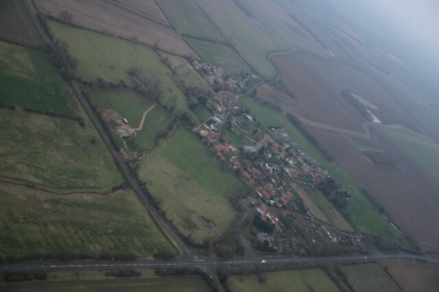
Spanby
Spanby is a village and former civil parish in the North Kesteven district of Lincolnshire, England, about 5 miles (8 km) south from the town of Sleaford...

Threekingham
Threekingham (sometimes Threckingham or Tricengham) is a village in the North Kesteven district of Lincolnshire, England. The population of the civil parish...
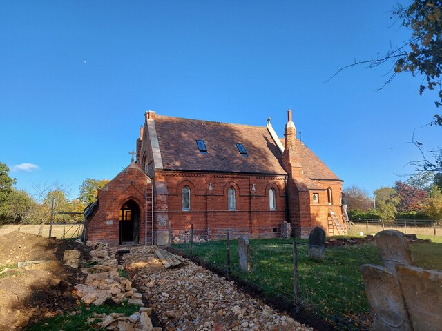
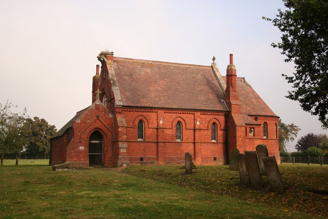
St Peter's Church, Threekingham
St Peter's Church is a church in Threekingham, Lincolnshire. It is dedicated to St. Peter ad Vincula (St Peter in chains). It became a Grade I listed building...

Osbournby
Osbournby (locally pronounced Ozzenby or Ossenby) is a small village and civil parish in the North Kesteven district of Lincolnshire, England. The population...
Threekingham Bar
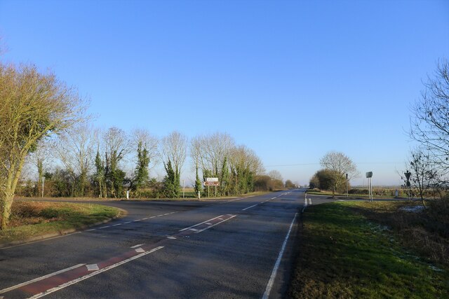
Threekingham Bar is the name given to interception of the A52 (Grantham to Boston) and A15 (Peterborough to Lincoln and Hull) roads, 1 mile (1.6 km) to...

Stow Fair, Lincolnshire
Stow Fair was an English medieval fair inaugurated in 1233 and held at Stow Green Hill in Lincolnshire.The Prior of Sempringham was granted permission...

Scredington
Scredington is a village and civil parish in the North Kesteven district of Lincolnshire, England. The population of the civil parish at the 2011 census...

Aswarby and Scredington railway station
Aswarby and Scredington railway station was a station close to Scredington, Lincolnshire on the Great Northern Railway Bourne and Sleaford railway. It...
Nearby Amenities
Located within 500m of 52.925293,-0.37499926Have you been to Willow Holt?
Leave your review of Willow Holt below (or comments, questions and feedback).