Hillside Plantation
Wood, Forest in Lincolnshire North Kesteven
England
Hillside Plantation
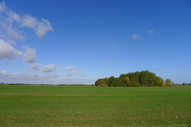
Hillside Plantation is an expansive and picturesque woodland located in Lincolnshire, England. Nestled among the rolling hills, this plantation is a haven for nature enthusiasts and those seeking tranquility amidst the beauty of the forest.
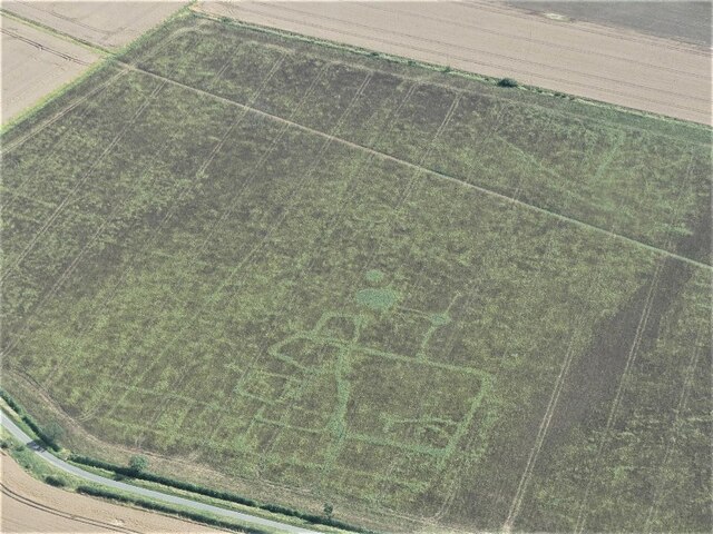
Covering an area of approximately 500 acres, Hillside Plantation boasts a diverse range of tree species, including oak, birch, beech, and pine. The dense foliage provides a rich habitat for a variety of wildlife, from deer and foxes to a multitude of bird species. The plantation is also home to a small lake, which further enhances the natural charm of the area.
Visitors to Hillside Plantation can enjoy a range of activities that cater to all interests and abilities. The well-maintained walking trails offer opportunities for leisurely strolls or more adventurous hikes, allowing visitors to explore the plantation at their own pace. The plantation also offers designated picnic areas, where visitors can relax and enjoy the serene surroundings.
In addition to its natural beauty, Hillside Plantation also hosts various educational and recreational events throughout the year. These events aim to raise awareness about the importance of conservation and promote a deeper understanding of the local ecosystem.
Whether you are a nature lover, a hiker, or simply seeking a peaceful escape from the hustle and bustle of everyday life, Hillside Plantation offers a truly enchanting experience. With its breathtaking scenery, abundant wildlife, and diverse range of activities, this woodland retreat is a must-visit destination for anyone wishing to reconnect with nature in the heart of Lincolnshire.
If you have any feedback on the listing, please let us know in the comments section below.
Hillside Plantation Images
Images are sourced within 2km of 52.923642/-0.37198178 or Grid Reference TF0937. Thanks to Geograph Open Source API. All images are credited.


Hillside Plantation is located at Grid Ref: TF0937 (Lat: 52.923642, Lng: -0.37198178)
Administrative County: Lincolnshire
District: North Kesteven
Police Authority: Lincolnshire
What 3 Words
///lights.fearfully.fussy. Near Billingborough, Lincolnshire
Nearby Locations
Related Wikis
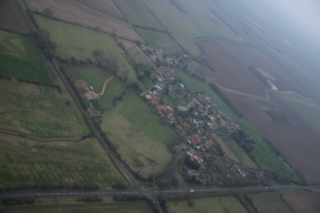
Spanby
Spanby is a village and former civil parish in the North Kesteven district of Lincolnshire, England, about 5 miles (8 km) south from the town of Sleaford...
Threekingham
Threekingham (sometimes Threckingham or Tricengham) is a village in the North Kesteven district of Lincolnshire, England. The population of the civil parish...
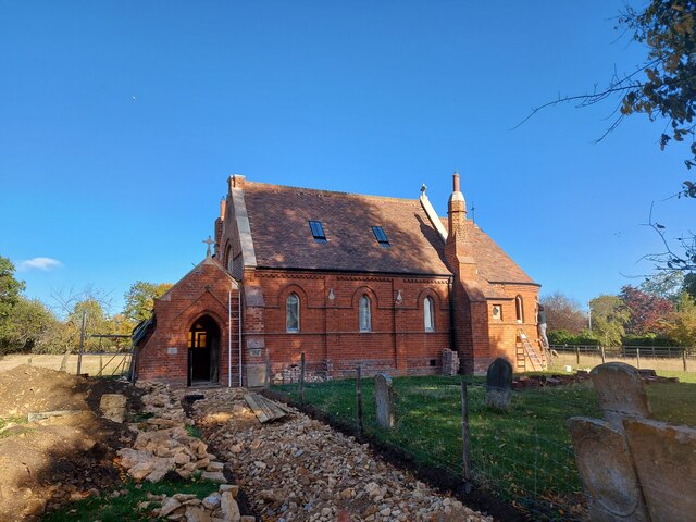
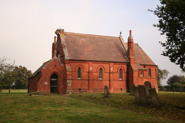
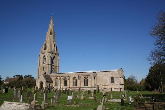
St Peter's Church, Threekingham
St Peter's Church is a church in Threekingham, Lincolnshire. It is dedicated to St. Peter ad Vincula (St Peter in chains). It became a Grade I listed building...

Stow Fair, Lincolnshire
Stow Fair was an English medieval fair inaugurated in 1233 and held at Stow Green Hill in Lincolnshire.The Prior of Sempringham was granted permission...

Osbournby
Osbournby (locally pronounced Ozzenby or Ossenby) is a small village and civil parish in the North Kesteven district of Lincolnshire, England. The population...
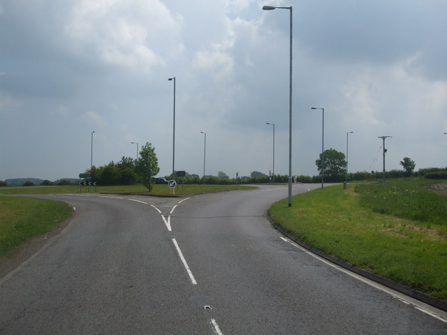
Threekingham Bar
Threekingham Bar is the name given to interception of the A52 (Grantham to Boston) and A15 (Peterborough to Lincoln and Hull) roads, 1 mile (1.6 km) to...
Scredington
Scredington is a village and civil parish in the North Kesteven district of Lincolnshire, England. The population of the civil parish at the 2011 census...

Horbling
Horbling is a village and civil parish in the South Kesteven district of Lincolnshire, England. It lies on the B1177, 7 miles (11 km) south-east of Sleaford...
Nearby Amenities
Located within 500m of 52.923642,-0.37198178Have you been to Hillside Plantation?
Leave your review of Hillside Plantation below (or comments, questions and feedback).