Millennium Wood
Wood, Forest in Middlesex Spelthorne
England
Millennium Wood
Millennium Wood, located in Middlesex, is a captivating forest that spans across a vast area. This wood is named after the new millennium, as it was established in the early 2000s to commemorate the turn of the century. It is a popular destination for nature lovers and those seeking a tranquil escape from the bustling city life.
The wood is home to a diverse range of trees, plants, and wildlife, providing an immersive experience for visitors. Ancient oaks, birches, and beeches dominate the landscape, creating a dense canopy that filters sunlight and creates a serene atmosphere. The forest floor is adorned with carpets of wildflowers during the spring and summer months, adding bursts of color to the scenery.
Several well-marked trails meander through Millennium Wood, allowing visitors to explore its beauty at their own pace. These paths wind through the trees, offering glimpses of wildlife such as squirrels, rabbits, and a variety of bird species. With its peaceful surroundings, the wood also provides an ideal spot for picnics, photography, and birdwatching.
Millennium Wood is not only a haven for nature enthusiasts but also serves as an important conservation area. Efforts have been made to preserve the wood's ecological integrity, including regular maintenance to control invasive species and protect the native flora and fauna.
Accessible and conveniently located, Millennium Wood in Middlesex offers a serene escape from the urban environment, making it a cherished destination for locals and tourists alike.
If you have any feedback on the listing, please let us know in the comments section below.
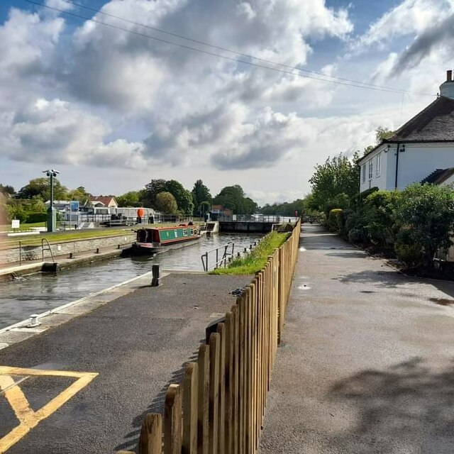
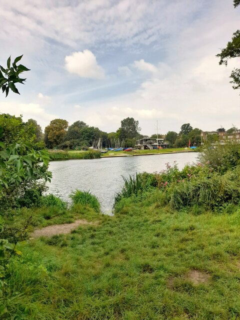
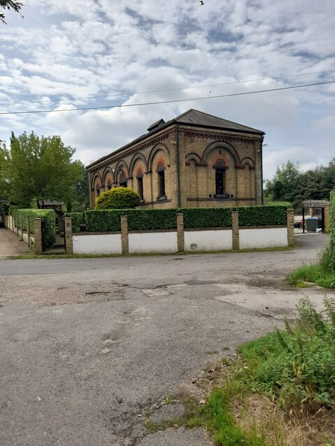
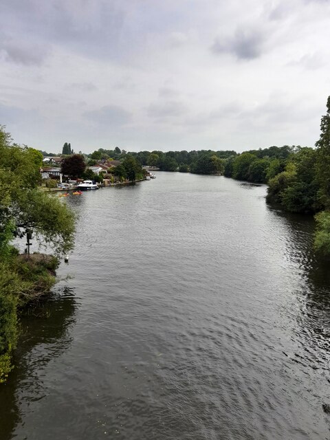
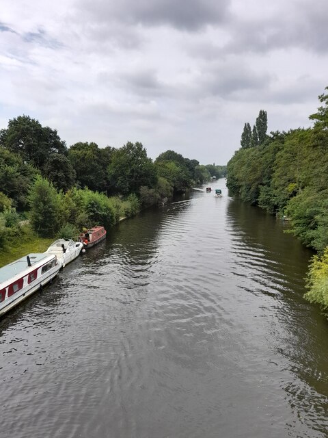
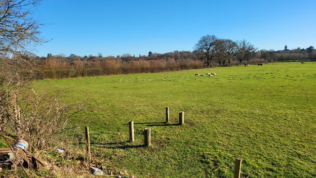
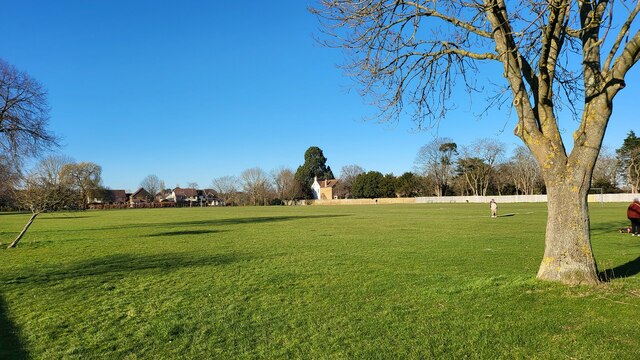
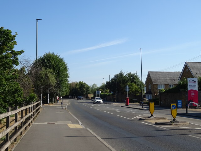
Millennium Wood Images
Images are sourced within 2km of 51.398006/-0.43107612 or Grid Reference TQ0967. Thanks to Geograph Open Source API. All images are credited.


Millennium Wood is located at Grid Ref: TQ0967 (Lat: 51.398006, Lng: -0.43107612)
Administrative County: Surrey
District: Spelthorne
Police Authority: Surrey
What 3 Words
///lies.arch.sweat. Near Sunbury-on-Thames, Surrey
Nearby Locations
Related Wikis
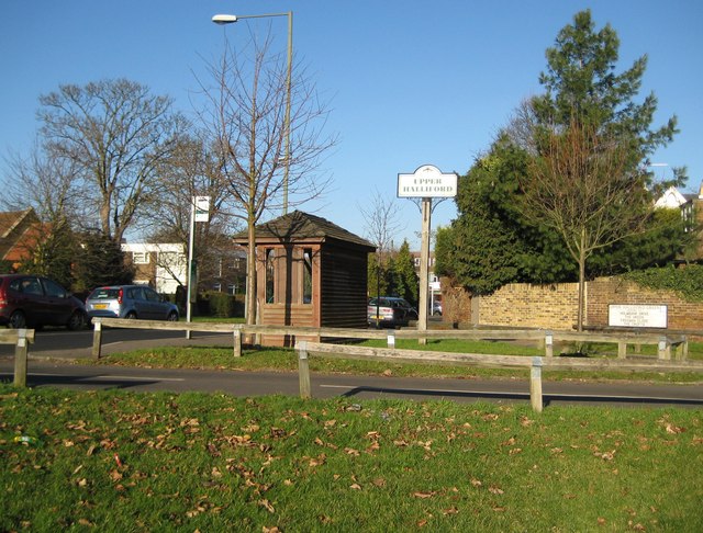
Upper Halliford
Upper Halliford is a small village in the Borough of Spelthorne, Surrey, England approximately 24 km (15 mi) west of central London. It is part of the...

Thamesmead School
Thamesmead School is a secondary academy school for boys and girls located in Shepperton, England. It is for students aged 11 to 16, and does not have...

St George's College Boat Club
St George's College Boat Club is a rowing club on the River Thames, based at Sunbury Lane, Walton-on-Thames, Elmbridge, Surrey. == History == The club...

Walton Rowing Club
Walton Rowing Club is an amateur rowing club, on the River Thames in England. Its large, modern, combined club and boat house is on the Surrey bank of...
Nearby Amenities
Located within 500m of 51.398006,-0.43107612Have you been to Millennium Wood?
Leave your review of Millennium Wood below (or comments, questions and feedback).