Ram Close Spinney
Wood, Forest in Northamptonshire
England
Ram Close Spinney

Ram Close Spinney is a charming woodland area located in the county of Northamptonshire, England. Situated in the village of Wood, this spinney offers a tranquil escape from the hustle and bustle of everyday life.
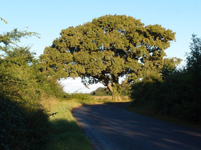
Covering an area of approximately 20 acres, Ram Close Spinney is a haven for nature enthusiasts and wildlife lovers. The spinney is primarily composed of mixed deciduous trees, including oak, ash, and birch, creating a diverse and picturesque landscape. The dense canopy formed by these trees provides shade and shelter for a variety of woodland creatures.
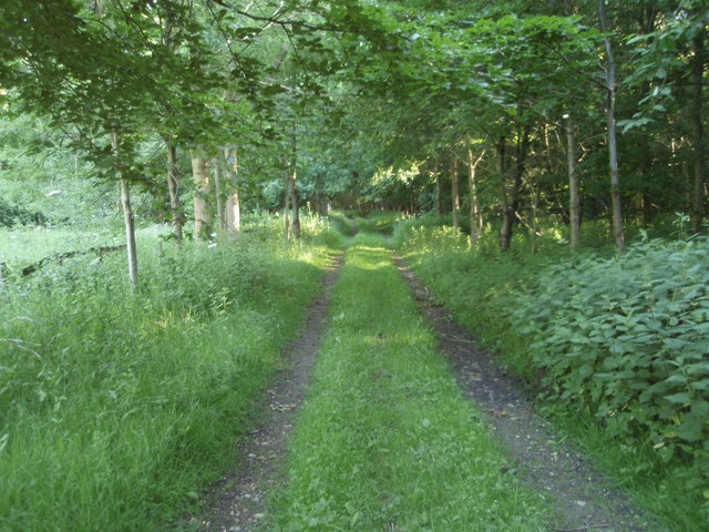
The spinney is intersected by a network of well-maintained footpaths, allowing visitors to explore its beauty at their leisure. These pathways are ideal for leisurely walks, jogging, or even cycling, offering the perfect opportunity to immerse oneself in the natural surroundings.
Ram Close Spinney is home to a wide range of flora and fauna, making it a popular spot for birdwatching and nature photography. Visitors may spot species such as woodpeckers, owls, and various types of butterflies and wildflowers. The diverse ecosystem of the spinney also supports a variety of mammals, including rabbits, foxes, and even the occasional deer.
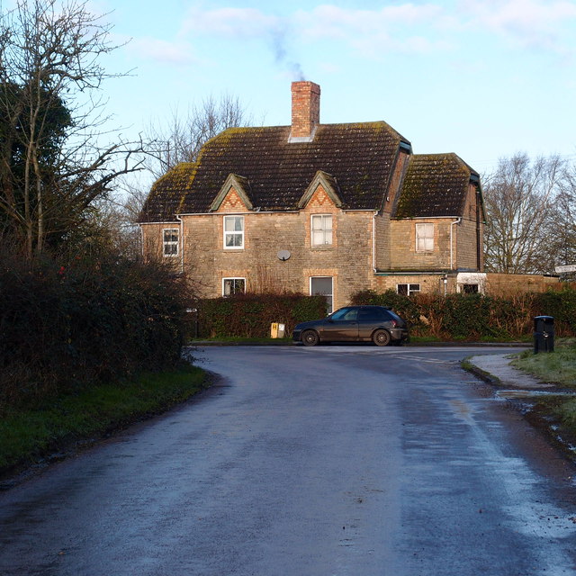
The spinney is easily accessible, with ample parking available nearby. It is a popular destination for families, couples, and individuals looking to reconnect with nature. Whether you are seeking solitude or an adventure in the great outdoors, Ram Close Spinney offers a serene and picturesque setting that is sure to captivate visitors of all ages.
If you have any feedback on the listing, please let us know in the comments section below.
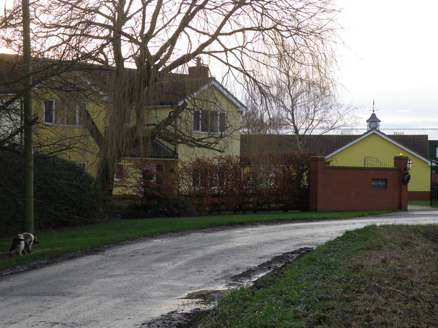
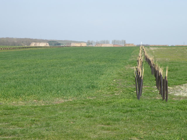
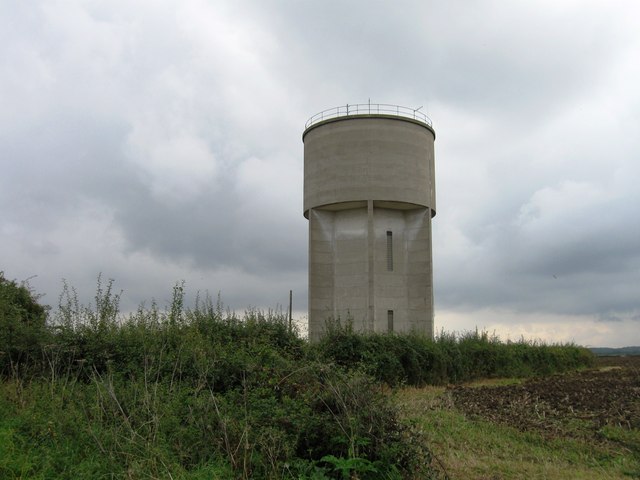
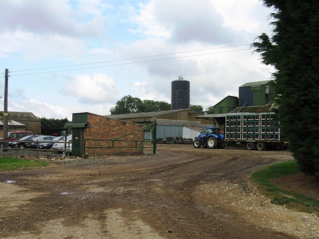
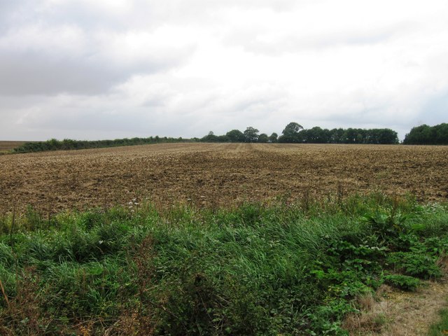
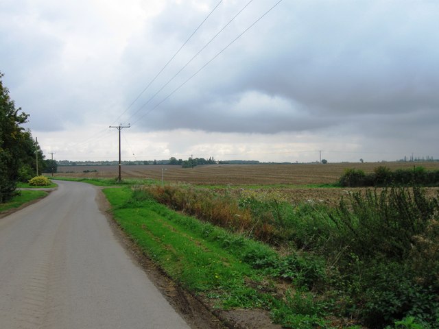
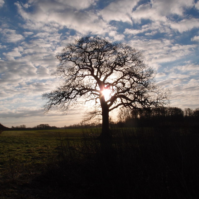
Ram Close Spinney Images
Images are sourced within 2km of 52.44824/-0.39393771 or Grid Reference TL0984. Thanks to Geograph Open Source API. All images are credited.


Ram Close Spinney is located at Grid Ref: TL0984 (Lat: 52.44824, Lng: -0.39393771)
Unitary Authority: North Northamptonshire
Police Authority: Northamptonshire
What 3 Words
///blubber.inspected.repair. Near Oundle, Northamptonshire
Nearby Locations
Related Wikis

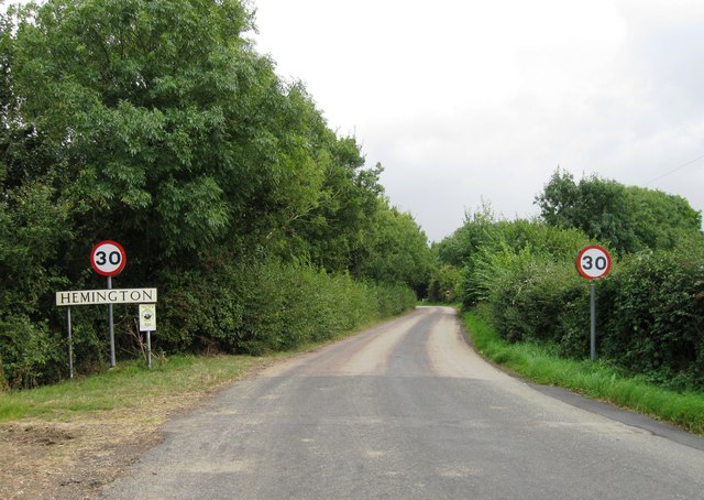
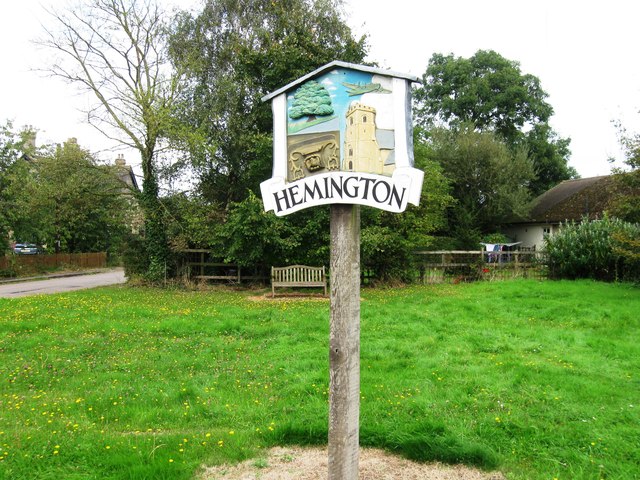
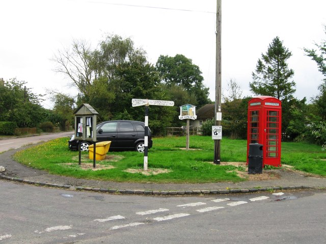
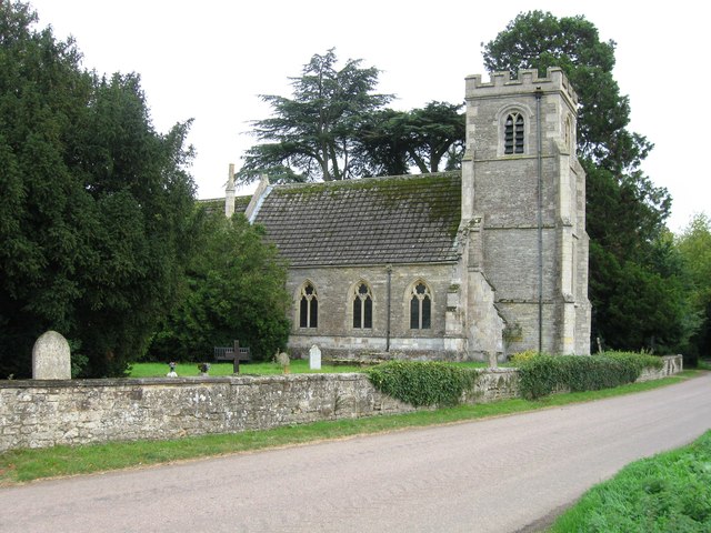
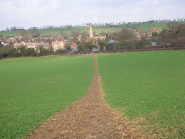
Hemington, Northamptonshire
Hemington is a village and civil parish in North Northamptonshire, England. The parish population (including the neighbouring small parishes of Luddington...

Luddington-in-the-Brook
Luddington-in-the-Brook or Luddington in the Brook is a village in North Northamptonshire, England. The name of its civil parish is Luddington. Owing to...

Thurning, Northamptonshire
Thurning is a village and civil parish in the English county of Northamptonshire. Located in the north-east of the county, about 5.5 miles south-east of...
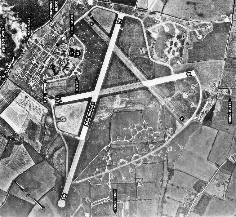
RAF Polebrook
Royal Air Force Polebrook or more simply RAF Polebrook is a former Royal Air Force station located 3.5 miles (5.6 km) east-south-east of Oundle, at Polebrook...

Great Gidding
Great Gidding is a village and civil parish in the Huntingdonshire district of Cambridgeshire, England.Great Gidding lies approximately 10 miles (16 km...
Ashton Wold
Ashton Wold is a 54.0-hectare (133-acre) biological Site of Special Scientific Interest (SSSI) east of the market town Oundle in Northamptonshire.It is...
Polebrook
Polebrook is a village in Northamptonshire, England. The population (including Armston) at the 2011 census was 478. == History == There is evidence that...
Armston
Armston is a hamlet and former civil parish, now in the parish of Polebrook, in the North Northamptonshire district, in the ceremonial county of Northamptonshire...
Nearby Amenities
Located within 500m of 52.44824,-0.39393771Have you been to Ram Close Spinney?
Leave your review of Ram Close Spinney below (or comments, questions and feedback).