Ash Spinney
Wood, Forest in Northamptonshire
England
Ash Spinney
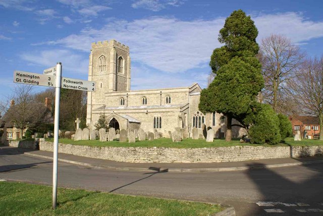
Ash Spinney is a small village located in the county of Northamptonshire, England. Situated in the heart of the beautiful countryside, it is known for its woodlands and forests that surround the area. The village is part of the larger East Northamptonshire district, and is approximately 8 miles northeast of the town of Kettering.
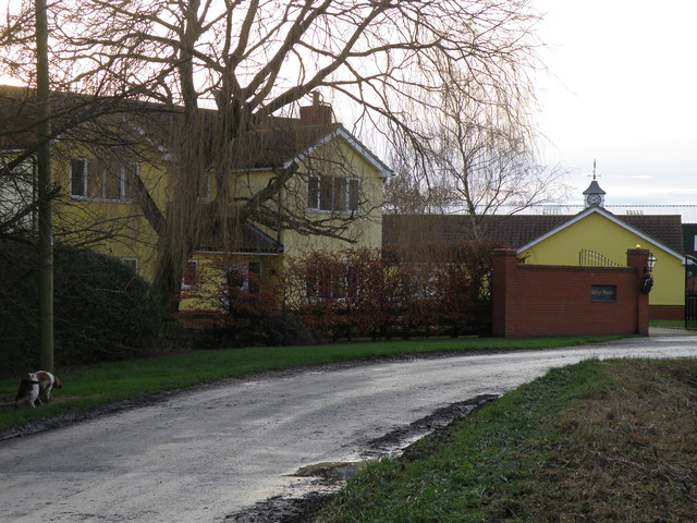
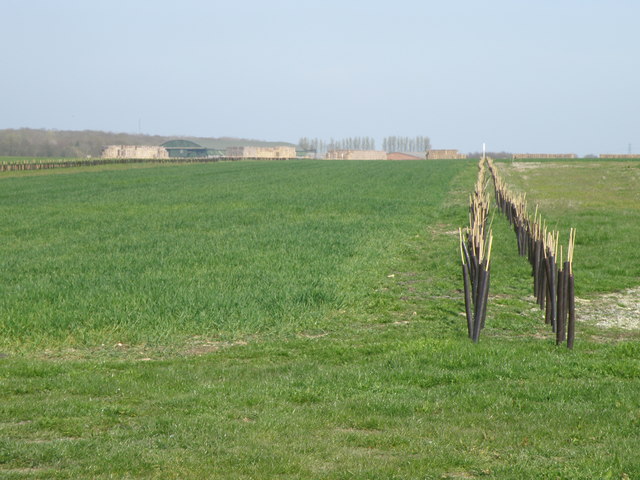
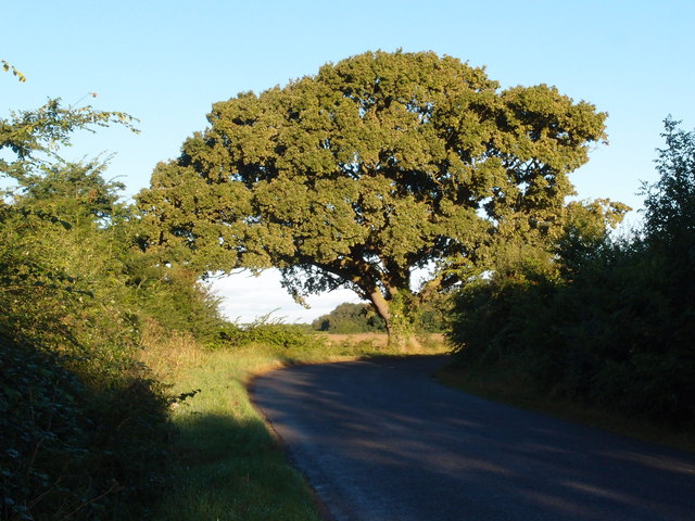
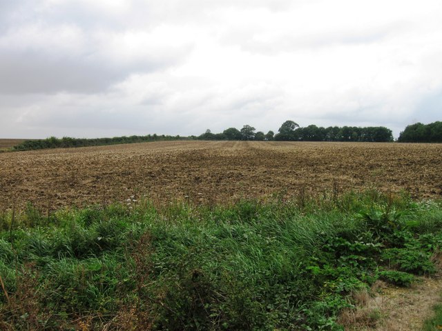
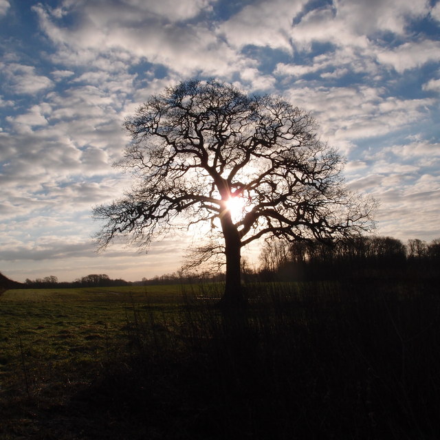
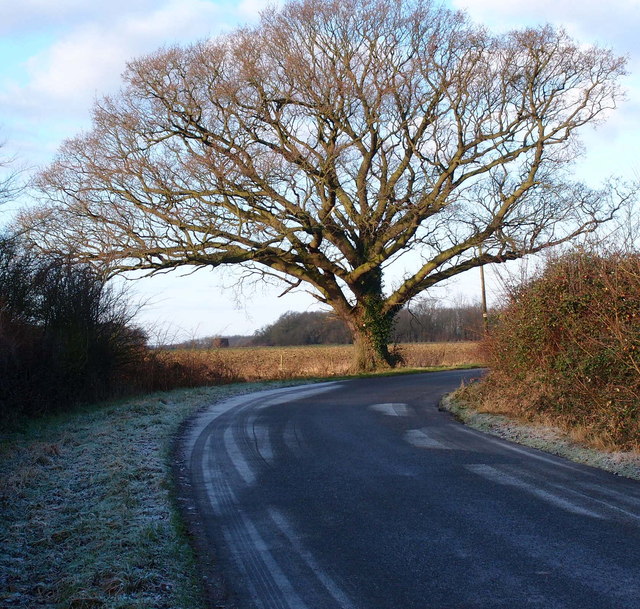
Ash Spinney is a tranquil and picturesque village, with a population of around 300 residents. It is characterized by its lush green landscapes and abundance of trees, making it an ideal location for nature lovers and outdoor enthusiasts. The village is surrounded by several woodland areas, including Ash Spinney Wood and Forest, which are popular destinations for hiking, cycling, and wildlife spotting.
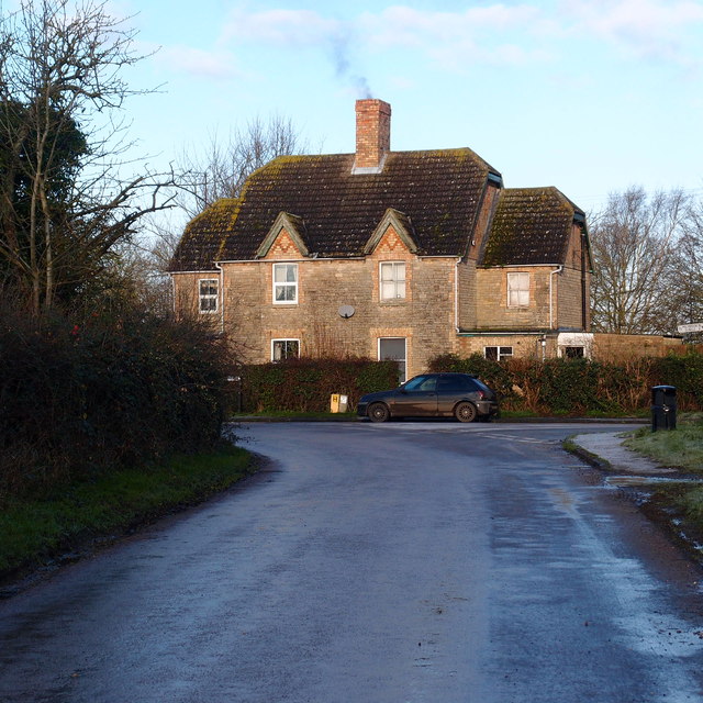
The village itself consists of a small cluster of houses, many of which have retained their traditional architecture and charm. There is a sense of community in Ash Spinney, with residents often organizing local events and gatherings. The village also has a primary school, providing education for the local children.
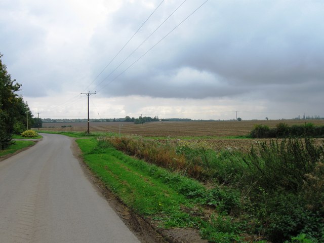
Despite its rural location, Ash Spinney benefits from good transport links. The A14 road runs nearby, connecting the village to larger towns and cities in the region. The closest railway station is Kettering, which offers regular services to London and other major cities.
Overall, Ash Spinney is a peaceful and idyllic village, offering a serene and natural setting for its residents. With its beautiful woodlands and strong sense of community, it is a place that truly embodies the charm of rural England.
If you have any feedback on the listing, please let us know in the comments section below.
Ash Spinney Images
Images are sourced within 2km of 52.448418/-0.38785392 or Grid Reference TL0984. Thanks to Geograph Open Source API. All images are credited.


Ash Spinney is located at Grid Ref: TL0984 (Lat: 52.448418, Lng: -0.38785392)
Unitary Authority: North Northamptonshire
Police Authority: Northamptonshire
What 3 Words
///trustees.buckets.rebel. Near Oundle, Northamptonshire
Nearby Locations
Related Wikis

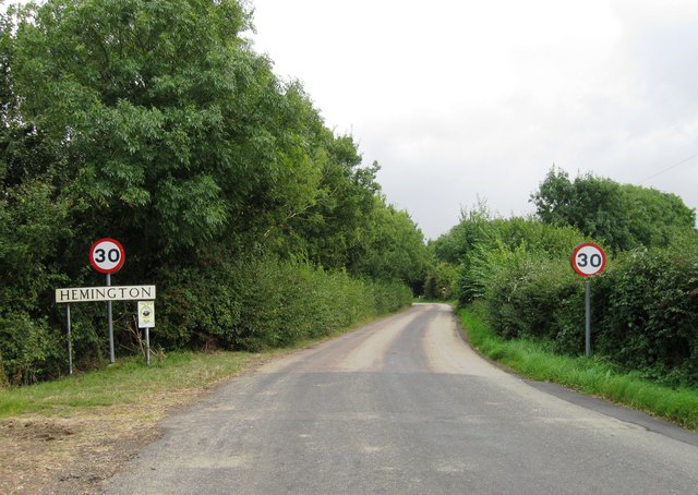
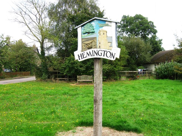
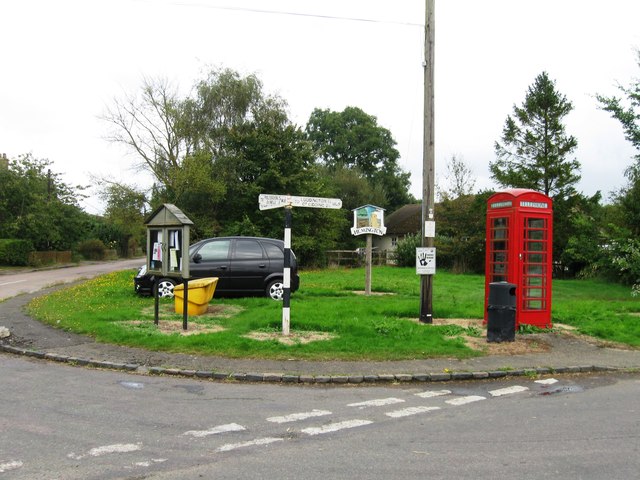
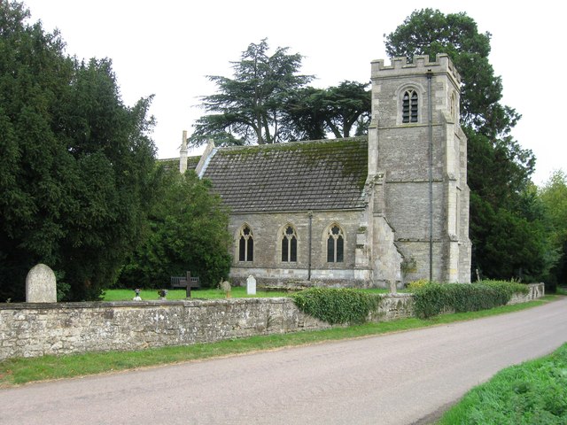
Hemington, Northamptonshire
Hemington is a village and civil parish in North Northamptonshire, England. The parish population (including the neighbouring small parishes of Luddington...

Luddington-in-the-Brook
Luddington-in-the-Brook or Luddington in the Brook is a village in North Northamptonshire, England. The name of its civil parish is Luddington. Owing to...
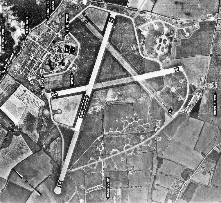
RAF Polebrook
Royal Air Force Polebrook or more simply RAF Polebrook is a former Royal Air Force station located 3.5 miles (5.6 km) east-south-east of Oundle, at Polebrook...

Thurning, Northamptonshire
Thurning is a village and civil parish in the English county of Northamptonshire. Located in the north-east of the county, about 5.5 miles south-east of...

Great Gidding
Great Gidding is a village and civil parish in the Huntingdonshire district of Cambridgeshire, England.Great Gidding lies approximately 10 miles (16 km...
Ashton Wold
Ashton Wold is a 54.0-hectare (133-acre) biological Site of Special Scientific Interest (SSSI) east of the market town Oundle in Northamptonshire.It is...
Lutton, Northamptonshire
Lutton is a village and civil parish in North Northamptonshire, England. The 2011 Census recorded its parish population as 186.The villages name means...
St Peter's Church, Lutton
St Peter's Church, Lutton is a Grade I Listed medieval church, which stands on the highest point in the village of Lutton, Northamptonshire, England. It...
Nearby Amenities
Located within 500m of 52.448418,-0.38785392Have you been to Ash Spinney?
Leave your review of Ash Spinney below (or comments, questions and feedback).