West Coppice

Wood, Forest in Northamptonshire

England

West Coppice

Corner Cottage
Corner Cottage Credit: Michael Trolove

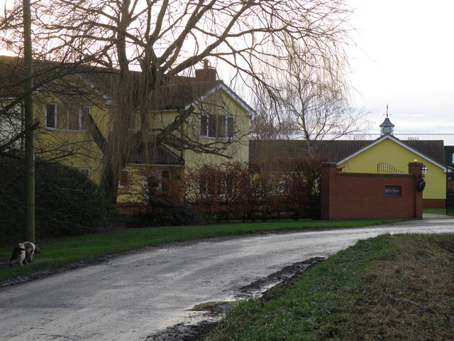
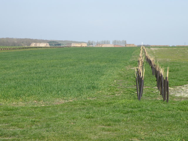
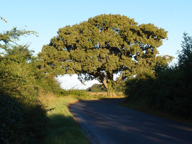
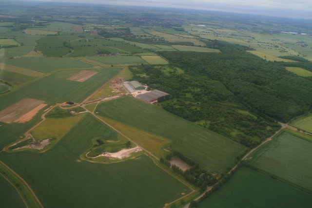
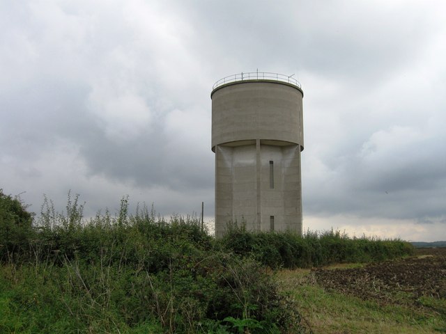
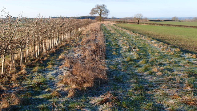
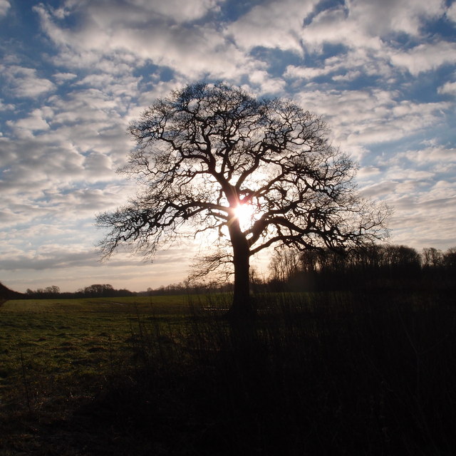
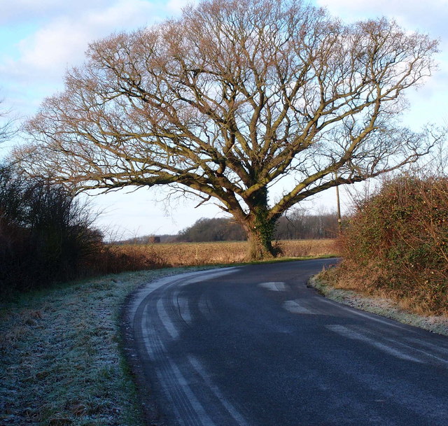
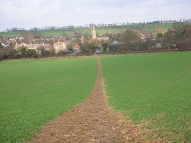
West Coppice is a picturesque woodland located in the county of Northamptonshire, England. Situated in the heart of the countryside, this idyllic forest covers an area of approximately 100 acres, providing a serene and tranquil escape from the bustling city life.

The woodland is predominantly composed of native broadleaf trees, including oak, beech, and ash, which create a rich and diverse ecosystem. The forest floor is adorned with a carpet of vibrant wildflowers, adding splashes of color to the lush green landscape.

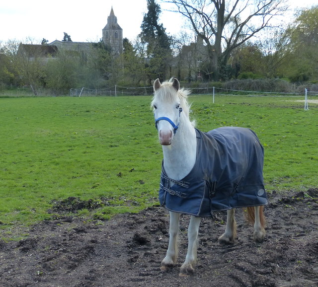
West Coppice is a haven for wildlife, offering a sanctuary for various species of birds, mammals, and insects. Visitors may catch glimpses of deer, foxes, and squirrels, as well as hear the melodies of songbirds filling the air.

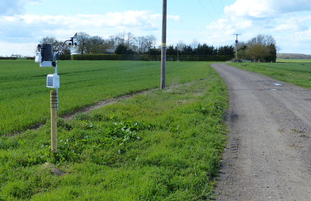
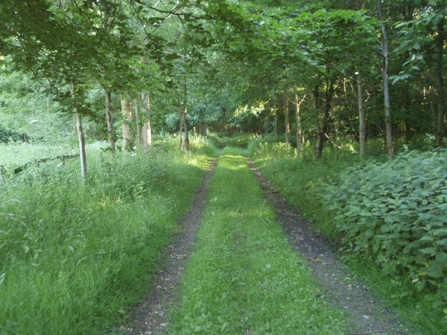
The woodland is crisscrossed by a network of well-maintained footpaths, allowing visitors to explore its natural beauty at their own pace. There are also designated picnic areas and benches scattered throughout, providing the perfect spot to rest and appreciate the surroundings.

Throughout the year, West Coppice hosts a range of events and activities, including guided nature walks, birdwatching sessions, and educational programs for children and adults alike. These initiatives aim to raise awareness about the importance of preserving and protecting this precious woodland.

West Coppice is not only a haven for nature enthusiasts but also a popular destination for photographers, artists, and those seeking a peaceful retreat. Its natural beauty and serene atmosphere make it a must-visit location for anyone looking to immerse themselves in the tranquility of Northamptonshire's woodlands.

If you have any feedback on the listing, please let us know in the comments section below.
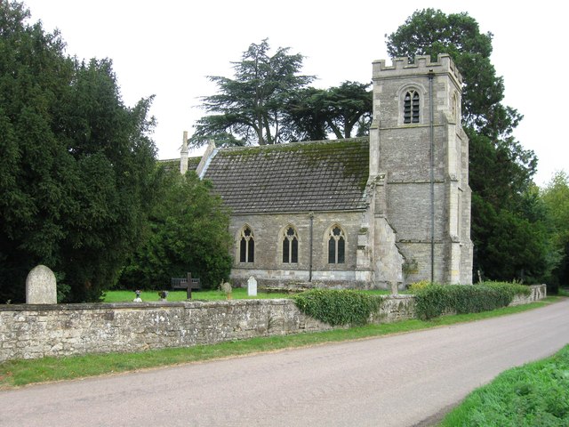
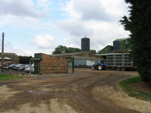
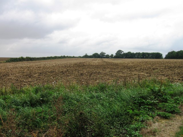
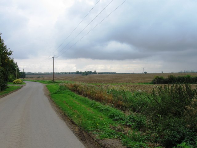
West Coppice Images

Images are sourced within 2km of 52.451364/-0.39551644 or Grid Reference TL0984. Thanks to Geograph Open Source API. All images are credited.

Corner Cottage
Corner Cottage
New hedge planted,near Hemington The distant hangers of the former USAF Polebrook base can be seen on the horizon. Now used to stockpile wheat for a 24 hour milling process at Coprby
New hedge planted,near Hemington
The distant hangers of the former USAF Polebrook base can be seen on the horizon. Now used to stockpile wheat for a 24 hour milling process at Coprby
Spectacular Oak tree Located near Hemington, it always looks spectacular in any season.
Spectacular Oak tree
Located near Hemington, it always looks spectacular in any season.
Former RAF/USAAF Polebrook: aerial 2014 WW2 airfield. RAF Polebrook was the first airfield to be finished in the Northamptonshire. On 28 June 1942 it was officially turned over to the American Air Force (USAAF). 
Amongst the Americans stationed at Polebrook were some big Hollywood stars. Clark Gable flew combat missions out of RAF Polebrook in 1943.
Airfield is subject of the book "Valor at Polebrook, The Last Flight of Ten Horsepower" by Ken Harbour & Peter Harris - see <span class="nowrap"><a title="http://www.polebrook.com/" rel="nofollow ugc noopener" href="http://www.polebrook.com/">Link</a><img style="margin-left:2px;" alt="External link" title="External link - shift click to open in new window" src="https://s1.geograph.org.uk/img/external.png" width="10" height="10"/></span>.
It was also a Cold-War Thor Missile Site, operational December 1959-August 1963. See <span class="nowrap"><a title="http://www.pastscape.org.uk/hob.aspx?hob_id=1139090" rel="nofollow ugc noopener" href="http://www.pastscape.org.uk/hob.aspx?hob_id=1139090">Link</a><img style="margin-left:2px;" alt="External link" title="External link - shift click to open in new window" src="https://s1.geograph.org.uk/img/external.png" width="10" height="10"/></span>. Remains of the three reinforced concrete launch emplacements survive, but two are buried. The remaining one is in the light coloured patch bottom left and shown in <a href="https://www.geograph.org.uk/photo/451446">TL0986 : Remnant of Thor Missile Launch Pad at Polebrook</a>.

See also <a href="https://www.geograph.org.uk/photo/5444477">TL0986 : Former RAF/USAAF Polebrook: aerial 2017</a>.
Former RAF/USAAF Polebrook: aerial 2014
WW2 airfield. RAF Polebrook was the first airfield to be finished in the Northamptonshire. On 28 June 1942 it was officially turned over to the American Air Force (USAAF). Amongst the Americans stationed at Polebrook were some big Hollywood stars. Clark Gable flew combat missions out of RAF Polebrook in 1943. Airfield is subject of the book "Valor at Polebrook, The Last Flight of Ten Horsepower" by Ken Harbour & Peter Harris - see LinkExternal link. It was also a Cold-War Thor Missile Site, operational December 1959-August 1963. See LinkExternal link. Remains of the three reinforced concrete launch emplacements survive, but two are buried. The remaining one is in the light coloured patch bottom left and shown in TL0986 : Remnant of Thor Missile Launch Pad at Polebrook. See also TL0986 : Former RAF/USAAF Polebrook: aerial 2017.
Barnwell water tower
Entrance to Hemington
Hemington signpost
Hemington signpost
Village green, Hemington
Hemington Church
Hemington Church
Hemington Lodge
Hemington Lodge
Field opposite Hemington Lodge
Road south of Hemington Lodge
Field boundary near Polebrook Grass margins and a recently planted hedgerow bordering arable land in East Northamptonshire.
Field boundary near Polebrook
Grass margins and a recently planted hedgerow bordering arable land in East Northamptonshire.
Oak tree and winter sun
Hemington Houses
Hemington Houses
Large Oak A favourite tree in the Northamptonshire landscape.
Large Oak
A favourite tree in the Northamptonshire landscape.
Track and bridleway to Hemington House
Horse near the Church of St Margaret In the East Northamptonshire village of Luddington-in-the-Brook.
Horse near the Church of St Margaret
In the East Northamptonshire village of Luddington-in-the-Brook.
Show me another place!

West Coppice is located at Grid Ref: TL0984 (Lat: 52.451364, Lng: -0.39551644)

Unitary Authority: North Northamptonshire

Police Authority: Northamptonshire

What 3 Words

///compounds.agreement.redeemed. Near Oundle, Northamptonshire

Related Wikis

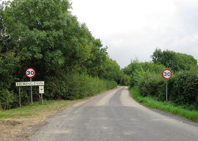
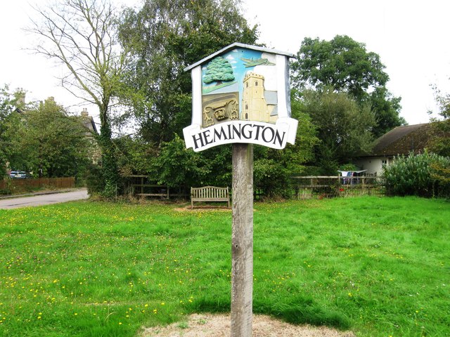
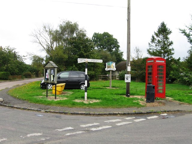
Hemington, Northamptonshire

Hemington is a village and civil parish in North Northamptonshire, England. The parish population (including the neighbouring small parishes of Luddington...

Luddington-in-the-Brook

Luddington-in-the-Brook or Luddington in the Brook is a village in North Northamptonshire, England. The name of its civil parish is Luddington. Owing to...
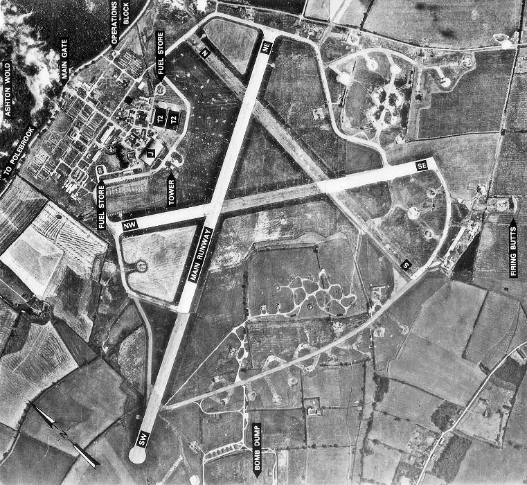
RAF Polebrook

Royal Air Force Polebrook or more simply RAF Polebrook is a former Royal Air Force station located 3.5 miles (5.6 km) east-south-east of Oundle, at Polebrook...

Thurning, Northamptonshire

Thurning is a village and civil parish in the English county of Northamptonshire. Located in the north-east of the county, about 5.5 miles south-east of...

Ashton Wold

Ashton Wold is a 54.0-hectare (133-acre) biological Site of Special Scientific Interest (SSSI) east of the market town Oundle in Northamptonshire.It is...

Polebrook

Polebrook is a village in Northamptonshire, England. The population (including Armston) at the 2011 census was 478. == History == There is evidence that...

Great Gidding

Great Gidding is a village and civil parish in the Huntingdonshire district of Cambridgeshire, England.Great Gidding lies approximately 10 miles (16 km...

Armston

Armston is a hamlet and former civil parish, now in the parish of Polebrook, in the North Northamptonshire district, in the ceremonial county of Northamptonshire...

Nearby Amenities

Located within 500m of 52.451364,-0.39551644
Hemington
Place: hamlet
Lat/Long: 52.45472/-0.3945606
Post Box
Collection Times: Mo-Fr 09:00; Sa 07:00
Operator: Royal Mail
Operator Wikidata: Q638098
Post Box Type: wall
Ref: PE8 160
Royal Cypher: GVIR
Royal Cypher Wikidata: Q33102169
Lat/Long: 52.4539794/-0.3967266
Building: yes
Lat/Long: 52.454012/-0.3898083
Place: farm
Lat/Long: 52.4523864/-0.3942252
The data included in this document is from www.openstreetmap.org. The data is made available under ODbL.

Have you been to West Coppice?

Leave your review of West Coppice below (or comments, questions and feedback).