Paradise Plantation
Wood, Forest in Yorkshire
England
Paradise Plantation

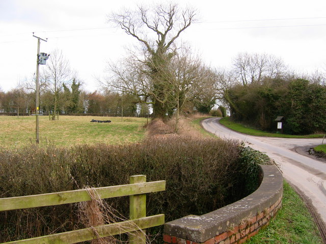
Paradise Plantation is a picturesque and enchanting woodland located in Yorkshire, England. Nestled amidst the rolling hills and verdant landscapes, this idyllic plantation offers a haven of tranquility and natural beauty.
Covering an area of approximately 500 acres, Paradise Plantation is predominantly composed of ancient woodlands consisting of diverse tree species, including oak, beech, and birch. The plantation is meticulously maintained, with well-marked trails that wind their way through the forest, allowing visitors to explore the lush surroundings at their own pace.
The woodland is teeming with a rich variety of flora and fauna, providing a habitat for an array of woodland creatures such as deer, rabbits, and squirrels. In spring, the forest floor comes alive with a vibrant display of bluebells, primroses, and wild garlic, creating a breathtaking carpet of color.
Paradise Plantation offers a range of recreational activities for visitors to enjoy. Walking and hiking trails cater to all levels of fitness, providing a chance to immerse oneself in nature and enjoy the peaceful ambiance. The plantation also offers birdwatching opportunities, as it is home to a diverse range of avian species, including woodpeckers, thrushes, and owls.
For those seeking a more immersive experience, Paradise Plantation offers camping facilities, allowing visitors to spend a night under the starlit canopy of the forest. The plantation also hosts educational programs and workshops on woodland conservation and wildlife preservation, making it an ideal destination for nature enthusiasts and educational trips.
In conclusion, Paradise Plantation in Yorkshire is a captivating woodland retreat, offering visitors a serene and rejuvenating experience amidst the natural splendor of ancient trees, vibrant flora, and abundant wildlife.
If you have any feedback on the listing, please let us know in the comments section below.
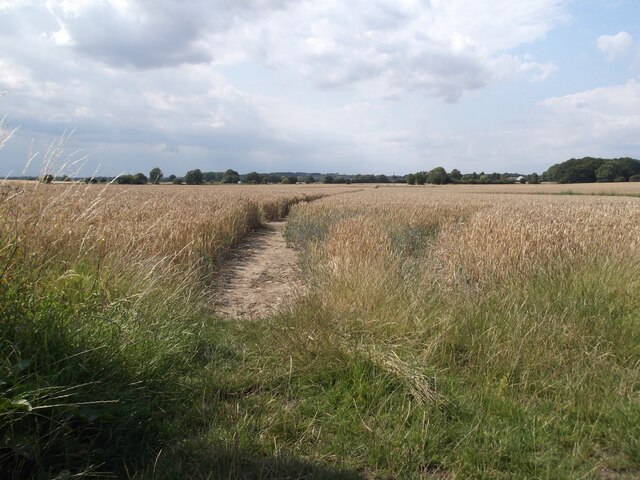
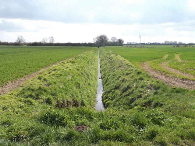
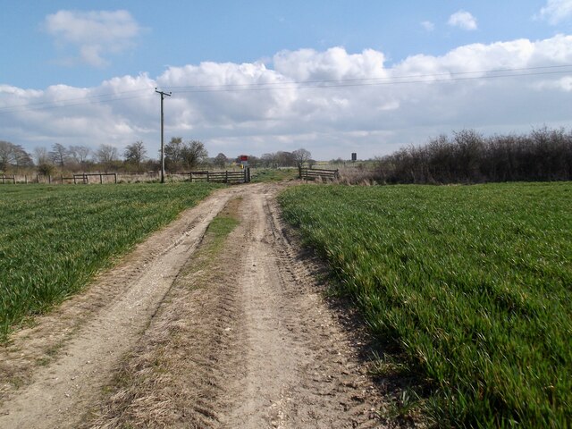
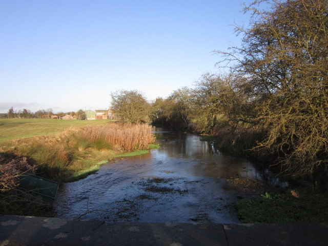
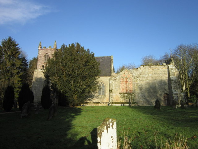
Paradise Plantation Images
Images are sourced within 2km of 54.028854/-0.33832308 or Grid Reference TA0860. Thanks to Geograph Open Source API. All images are credited.


Paradise Plantation is located at Grid Ref: TA0860 (Lat: 54.028854, Lng: -0.33832308)
Division: East Riding
Unitary Authority: East Riding of Yorkshire
Police Authority: Humberside
What 3 Words
///universe.offer.hopefully. Near Nafferton, East Yorkshire
Nearby Locations
Related Wikis
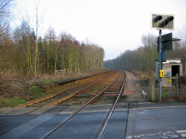
Lowthorpe railway station
Lowthorpe railway station was a minor railway station serving the village of Lowthorpe on the Yorkshire Coast Line from Scarborough to Hull and was opened...

Lowthorpe
Lowthorpe is a village and former civil parish, now in the parish of Harpham, in the East Riding of Yorkshire, England. It is situated approximately 3...
Little Kelk
Little Kelk is a small hamlet in the East Riding of Yorkshire, England. It is situated approximately 6.5 miles (10.5 km) south-west of Bridlington town...

Harpham
Harpham is a small village and civil parish in the East Riding of Yorkshire, England. It is located just south of the A614 road, approximately 5 miles...
Nearby Amenities
Located within 500m of 54.028854,-0.33832308Have you been to Paradise Plantation?
Leave your review of Paradise Plantation below (or comments, questions and feedback).