Conygarth Hill
Hill, Mountain in Yorkshire
England
Conygarth Hill

Conygarth Hill is a prominent hill located in the county of Yorkshire, England. Rising to an elevation of approximately 306 meters (1,004 feet), it is a notable landmark in the region. Situated in the southwestern part of Yorkshire, Conygarth Hill offers breathtaking views of the surrounding countryside and is a popular destination for hikers and nature enthusiasts.
The hill is part of the beautiful Yorkshire Dales National Park, known for its picturesque landscapes and diverse wildlife. Conygarth Hill is characterized by its rolling green slopes, covered in vibrant heather during the summer months. The hill is also home to a variety of flora and fauna, including wildflowers, oak trees, and various bird species.
Climbing Conygarth Hill provides visitors with a rewarding and challenging experience. The ascent can be steep in some areas, but there are well-maintained paths and trails for hikers to follow. As one reaches the summit, they are rewarded with panoramic views of the surrounding valleys, moorlands, and distant peaks.
Apart from its natural beauty, Conygarth Hill also holds historical significance. It is believed to have been a site of ancient settlements, with remnants of ancient stone walls and burial mounds scattered across its slopes.
With its stunning vistas and rich history, Conygarth Hill offers a memorable experience for those seeking to explore the natural wonders of Yorkshire. Whether it be for a leisurely hike or a more adventurous climb, this hill is a must-visit destination for both locals and tourists alike.
If you have any feedback on the listing, please let us know in the comments section below.
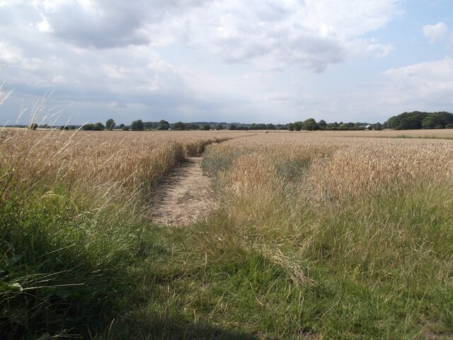
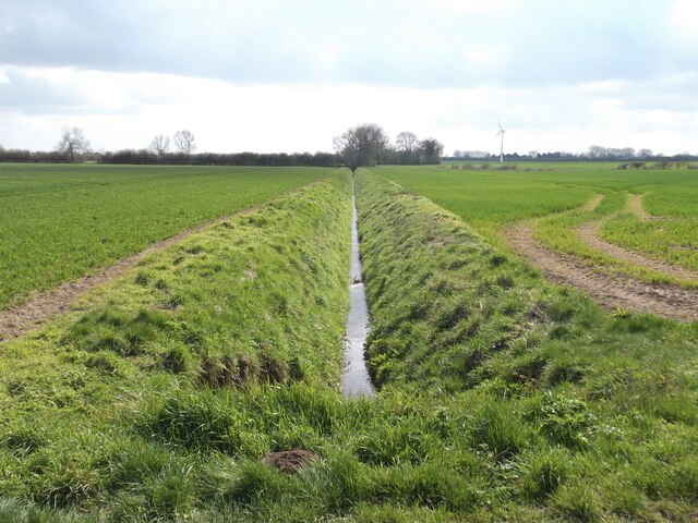
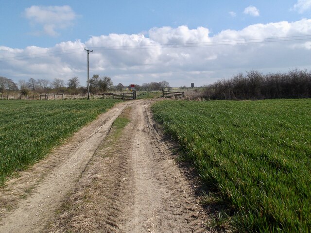
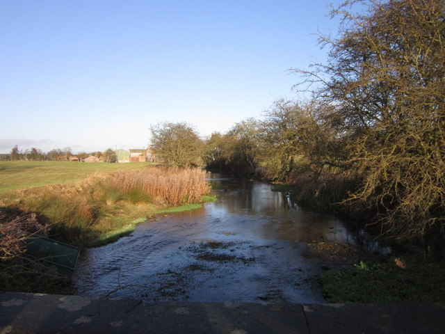
Conygarth Hill Images
Images are sourced within 2km of 54.033331/-0.34034333 or Grid Reference TA0860. Thanks to Geograph Open Source API. All images are credited.


Conygarth Hill is located at Grid Ref: TA0860 (Lat: 54.033331, Lng: -0.34034333)
Division: East Riding
Unitary Authority: East Riding of Yorkshire
Police Authority: Humberside
What 3 Words
///obvious.supper.trickled. Near Nafferton, East Yorkshire
Nearby Locations
Related Wikis

Lowthorpe
Lowthorpe is a village and former civil parish, now in the parish of Harpham, in the East Riding of Yorkshire, England. It is situated approximately 3...

Harpham
Harpham is a small village and civil parish in the East Riding of Yorkshire, England. It is located just south of the A614 road, approximately 5 miles...
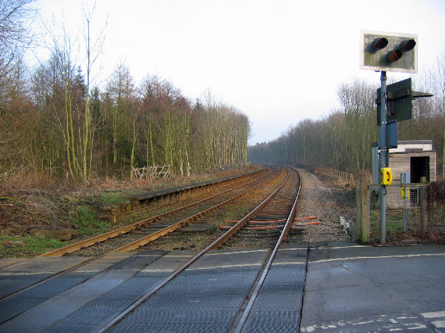
Lowthorpe railway station
Lowthorpe railway station was a minor railway station serving the village of Lowthorpe on the Yorkshire Coast Line from Scarborough to Hull and was opened...
Little Kelk
Little Kelk is a small hamlet in the East Riding of Yorkshire, England. It is situated approximately 6.5 miles (10.5 km) south-west of Bridlington town...
Nearby Amenities
Located within 500m of 54.033331,-0.34034333Have you been to Conygarth Hill?
Leave your review of Conygarth Hill below (or comments, questions and feedback).