Lowthorpe
Settlement in Yorkshire
England
Lowthorpe

Lowthorpe is a small village located in the East Riding of Yorkshire, England. Situated approximately 9 miles east of the city of York, it falls within the parish of Barmby Moor. With a population of around 150 residents, the village exudes a peaceful and close-knit community atmosphere.
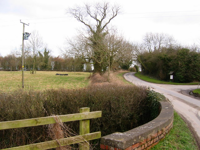
Nestled amidst picturesque countryside, Lowthorpe boasts rolling hills, lush green fields, and charming rural landscapes. The village is characterized by a mix of traditional brick houses, thatched cottages, and modern residences. Its quaint and idyllic setting attracts nature enthusiasts and those seeking a tranquil retreat from the bustling city life.
Although small in size, Lowthorpe offers a range of amenities for its residents and visitors. The village features a local pub, The Blacksmith's Arms, where people can enjoy a pint of locally brewed ale and indulge in traditional pub food. Additionally, a community hall serves as a hub for various social gatherings and events throughout the year.
Lowthorpe's close proximity to York allows easy access to a wider range of amenities, including shopping centers, restaurants, and cultural attractions. The village benefits from excellent transport links, with regular bus services connecting it to surrounding towns and villages.
Overall, Lowthorpe is a tranquil and charming village that provides a serene countryside lifestyle, while still offering convenient access to nearby urban amenities. Its natural beauty and strong sense of community make it an appealing destination for locals and visitors alike.
If you have any feedback on the listing, please let us know in the comments section below.
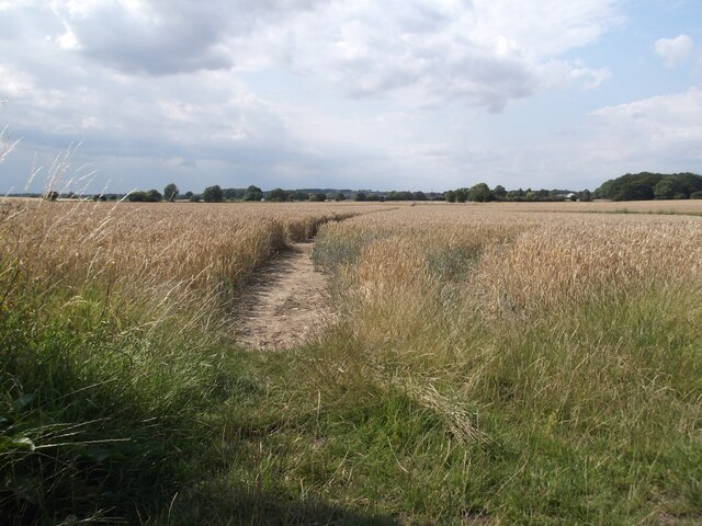
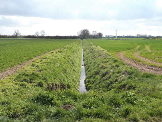
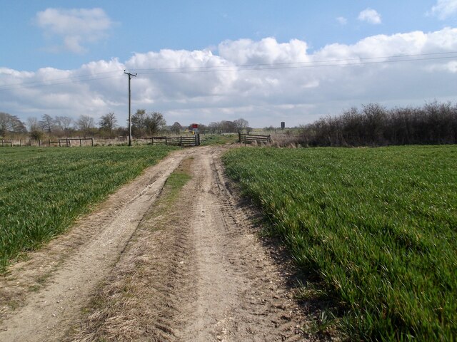
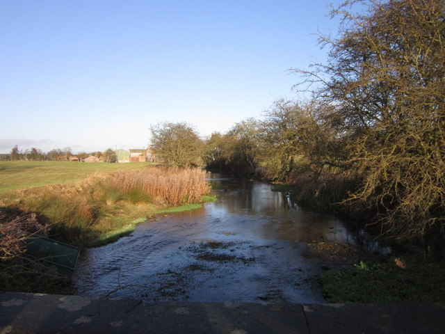
Lowthorpe Images
Images are sourced within 2km of 54.02863/-0.350865 or Grid Reference TA0860. Thanks to Geograph Open Source API. All images are credited.


Lowthorpe is located at Grid Ref: TA0860 (Lat: 54.02863, Lng: -0.350865)
Division: East Riding
Unitary Authority: East Riding of Yorkshire
Police Authority: Humberside
What 3 Words
///flattery.beside.raced. Near Nafferton, East Yorkshire
Nearby Locations
Related Wikis

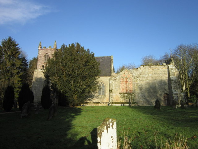
Lowthorpe
Lowthorpe is a village and former civil parish, now in the parish of Harpham, in the East Riding of Yorkshire, England. It is situated approximately 3...
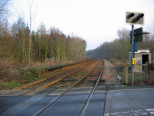
Lowthorpe railway station
Lowthorpe railway station was a minor railway station serving the village of Lowthorpe on the Yorkshire Coast Line from Scarborough to Hull and was opened...

Harpham
Harpham is a small village and civil parish in the East Riding of Yorkshire, England. It is located just south of the A614 road, approximately 5 miles...
Little Kelk
Little Kelk is a small hamlet in the East Riding of Yorkshire, England. It is situated approximately 6.5 miles (10.5 km) south-west of Bridlington town...
Nearby Amenities
Located within 500m of 54.02863,-0.350865Have you been to Lowthorpe?
Leave your review of Lowthorpe below (or comments, questions and feedback).