Carr Plantation
Wood, Forest in Yorkshire
England
Carr Plantation

Carr Plantation, located in Yorkshire, is a picturesque woodland area known for its dense forests and tranquil atmosphere. Covering an expansive area, this plantation is a sanctuary of natural beauty and biodiversity. The rich and diverse flora and fauna make it an ideal destination for nature enthusiasts and hikers alike.
The plantation is characterized by its dense canopy of trees, consisting primarily of oak, birch, and pine species. This lush woodland provides a habitat for a variety of wildlife, including deer, foxes, badgers, and a wide array of bird species. The calm and peaceful ambiance of Carr Plantation is often interrupted by the melodious chirping of birds, making it a haven for birdwatchers.
A network of well-maintained trails weaves through the plantation, offering visitors the opportunity to explore the area and immerse themselves in the beauty of nature. These paths cater to all levels of fitness, ensuring that everyone can enjoy the splendor of Carr Plantation.
In addition to its natural beauty, Carr Plantation also holds historical significance. The area was once used as a hunting ground for the local nobility, and remnants of old hunting lodges can still be found within the woodland.
Overall, Carr Plantation in Yorkshire is a captivating destination that seamlessly blends natural splendor with historical charm. Its dense forests, diverse wildlife, and well-maintained trails make it an ideal location for nature lovers, hikers, and history enthusiasts seeking a tranquil escape from the hustle and bustle of daily life.
If you have any feedback on the listing, please let us know in the comments section below.
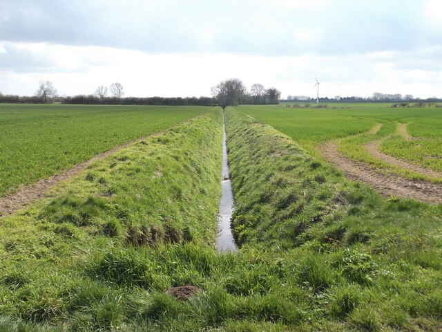
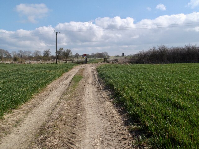
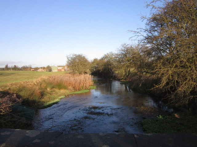
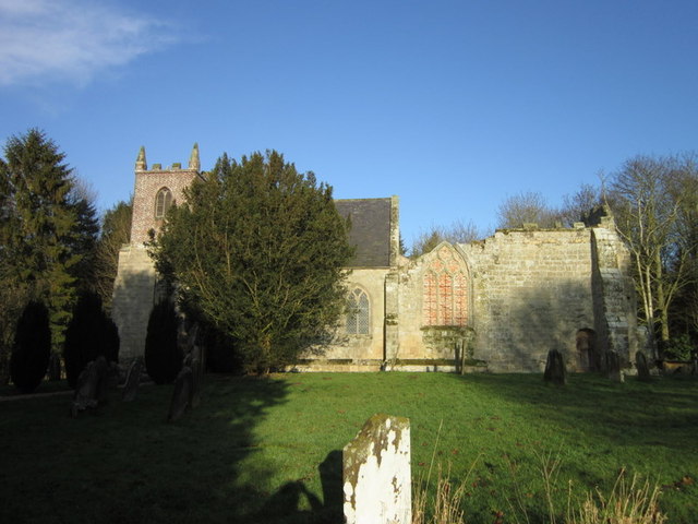
Carr Plantation Images
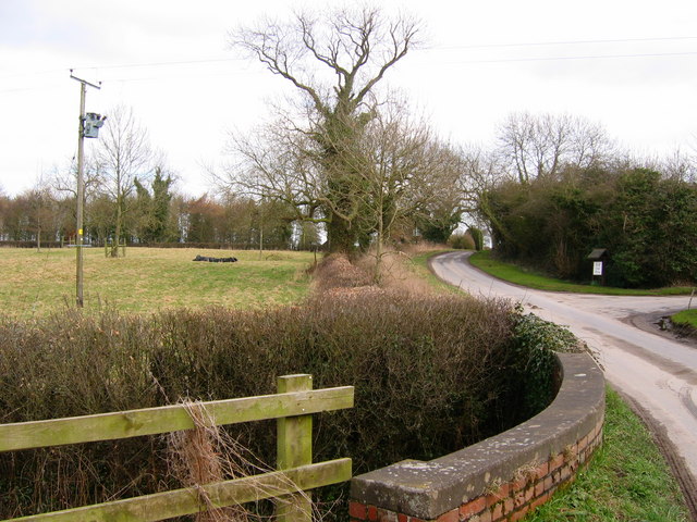
Images are sourced within 2km of 54.032118/-0.34037637 or Grid Reference TA0860. Thanks to Geograph Open Source API. All images are credited.


Carr Plantation is located at Grid Ref: TA0860 (Lat: 54.032118, Lng: -0.34037637)
Division: East Riding
Unitary Authority: East Riding of Yorkshire
Police Authority: Humberside
What 3 Words
///seashell.reputable.stumps. Near Nafferton, East Yorkshire
Nearby Locations
Related Wikis

Lowthorpe
Lowthorpe is a village and former civil parish, now in the parish of Harpham, in the East Riding of Yorkshire, England. It is situated approximately 3...
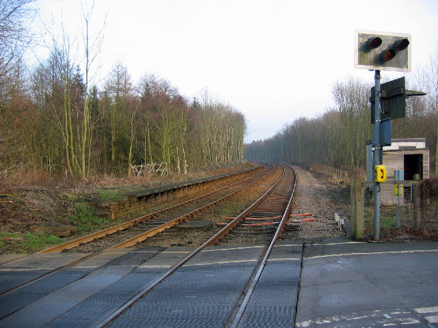
Lowthorpe railway station
Lowthorpe railway station was a minor railway station serving the village of Lowthorpe on the Yorkshire Coast Line from Scarborough to Hull and was opened...

Harpham
Harpham is a small village and civil parish in the East Riding of Yorkshire, England. It is located just south of the A614 road, approximately 5 miles...
Little Kelk
Little Kelk is a small hamlet in the East Riding of Yorkshire, England. It is situated approximately 6.5 miles (10.5 km) south-west of Bridlington town...
Nearby Amenities
Located within 500m of 54.032118,-0.34037637Have you been to Carr Plantation?
Leave your review of Carr Plantation below (or comments, questions and feedback).