Muttons Copse
Wood, Forest in Sussex Horsham
England
Muttons Copse
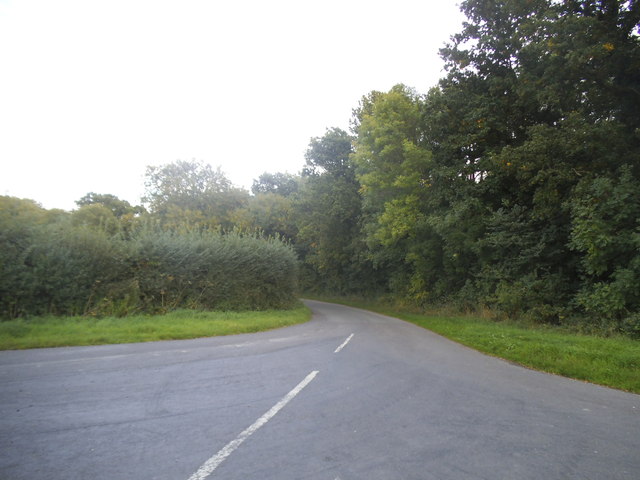
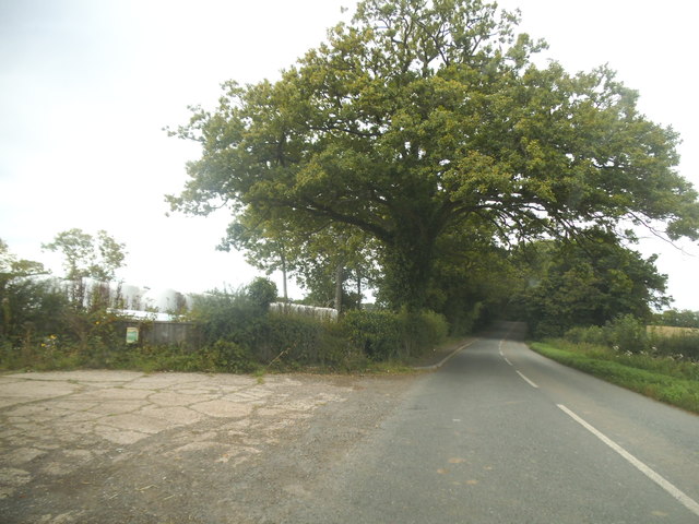
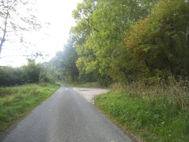
Muttons Copse is a picturesque wood located in the county of Sussex, England. Situated in the heart of the South Downs National Park, this forested area covers an approximate area of 50 acres, providing a haven for nature lovers and outdoor enthusiasts alike.
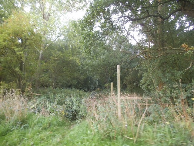
The copse is predominantly composed of a variety of deciduous trees, including oak, beech, and ash, which create a dense canopy overhead. These towering trees provide shade during the summer months and create a vibrant display of colors during the autumn season. Beneath the canopy, the forest floor is covered with a lush carpet of ferns, bluebells, and wildflowers, adding to the area's natural charm.
Muttons Copse is home to a diverse range of wildlife, making it an ideal spot for birdwatchers and nature photographers. Visitors may catch sight of various species of birds, such as woodpeckers, owls, and thrushes, as well as mammals like deer, foxes, and badgers. The copse also boasts a rich insect population, with butterflies and dragonflies fluttering among the trees.
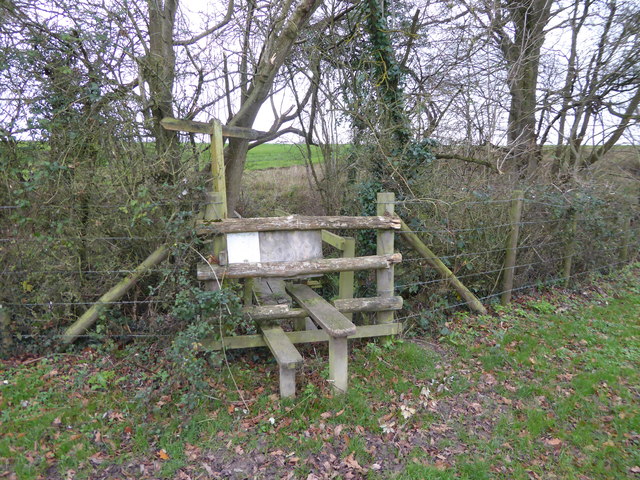
The wood offers several walking trails, allowing visitors to explore its beauty at their own pace. These paths wind through the forest, leading to open clearings and viewpoints that offer stunning vistas of the surrounding countryside. Along the way, visitors may encounter picnic spots and benches, providing the perfect opportunity to rest and soak in the tranquil atmosphere.
Muttons Copse is not only a haven for wildlife but also a place of relaxation and rejuvenation for those seeking solace in nature's embrace. Whether it be for a leisurely stroll, a picnic, or wildlife spotting, this enchanting forested area in Sussex offers a truly immersive experience for all who visit.
If you have any feedback on the listing, please let us know in the comments section below.
Muttons Copse Images
Images are sourced within 2km of 51.052831/-0.44703486 or Grid Reference TQ0829. Thanks to Geograph Open Source API. All images are credited.


Muttons Copse is located at Grid Ref: TQ0829 (Lat: 51.052831, Lng: -0.44703486)
Administrative County: West Sussex
District: Horsham
Police Authority: Sussex
What 3 Words
///harmless.lots.signified. Near Slinfold, West Sussex
Nearby Locations
Related Wikis

The Haven, West Sussex
The Haven is a rural hamlet in West Sussex, south east England located about 7 miles to the west of Horsham.The Haven is primarily an agricultural area...

Five Oaks
Five Oaks is a large hamlet in the Horsham District of West Sussex, England. It lies about 1.7 miles (2.8 km) north of Billingshurst on the Roman road...

Coppedhall Hanger
Coppedhall Hanger is a 0.6-hectare (1.5-acre) geological Site of Special Scientific Interest north of Billingshurst in West Sussex. It is a Geological...

Slinfold railway station
Slinfold railway station was on the Cranleigh Line and served the village of Slinfold in West Sussex. == History == The line had a single track and opened...

Billingshurst F.C.
Billingshurst Football Club is a football club based in Billingshurst, West Sussex, England. They are currently members of the Southern Combination Division...

Billingshurst
Billingshurst is a village and civil parish in the Horsham District of West Sussex, England. The village lies on the A29 road (the Roman Stane Street)...

Billingshurst Unitarian Chapel
Billingshurst Unitarian Chapel is a place of worship in Billingshurst in the English county of West Sussex. The cottage-like building was erected in 1754...

Slinfold
Slinfold is a village and civil parish in the Horsham District of West Sussex, England. == Geography == The village is almost 4 miles (6.4 km) west of...
Nearby Amenities
Located within 500m of 51.052831,-0.44703486Have you been to Muttons Copse?
Leave your review of Muttons Copse below (or comments, questions and feedback).