Heathers Furze Field
Wood, Forest in Sussex Horsham
England
Heathers Furze Field

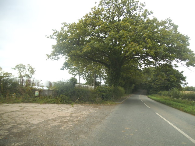
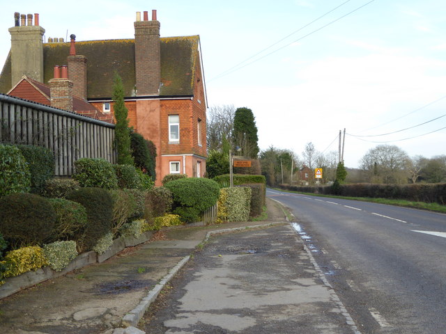
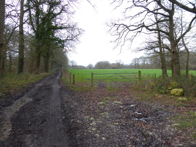
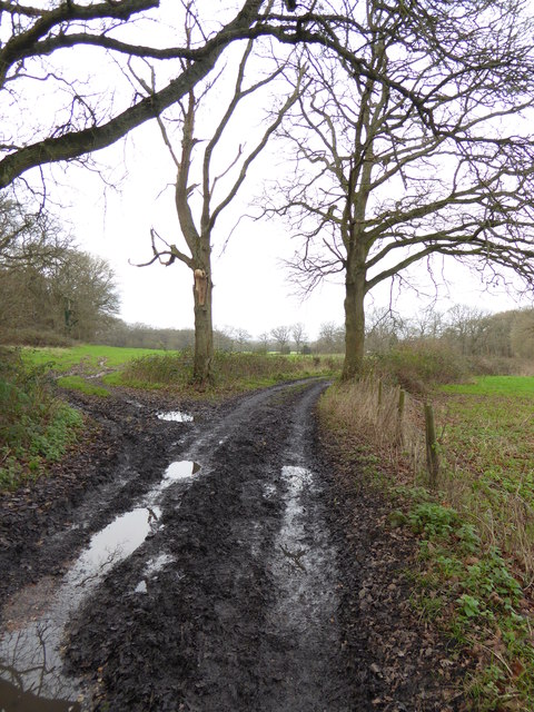
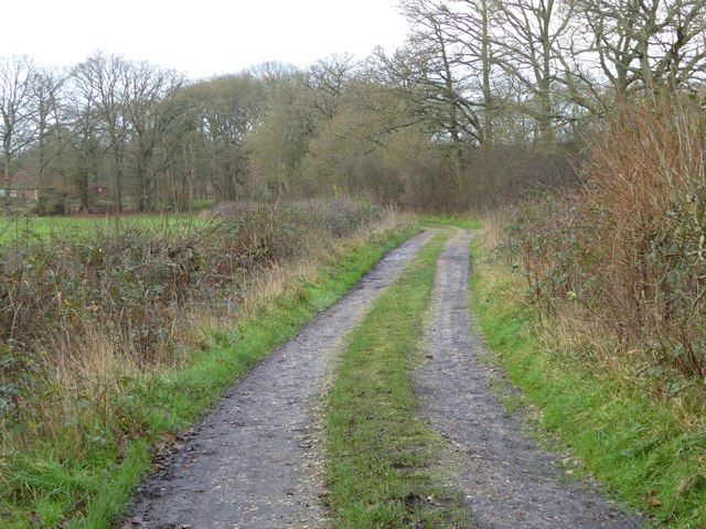
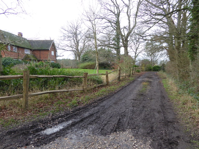
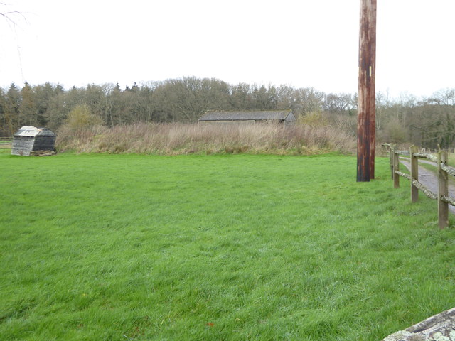
Heathers Furze Field is a scenic woodland area located in Sussex, England. Situated in the heart of the countryside, it spans across a vast area, making it an ideal destination for nature enthusiasts and those seeking tranquility away from the city.
The woodland is predominantly made up of heather and furze, which gives the area its name. These plants create a stunning display of purple and yellow hues, particularly during the blooming season. The dense foliage provides a habitat for a diverse range of flora and fauna, making it a haven for wildlife. Visitors may encounter various bird species, including woodpeckers, songbirds, and owls, along with small mammals like squirrels and rabbits.
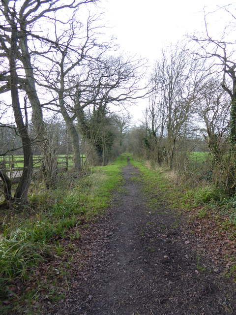
Walking through Heathers Furze Field offers a serene experience, with well-maintained paths and trails that allow visitors to explore the woodland at their own pace. The trees provide shade during the summer months, making it an excellent spot for picnics or leisurely walks. The forest floor is covered in a carpet of moss and wildflowers, contributing to the picturesque scenery.
The woodland is also known for its historical significance, as it has been a part of the Sussex landscape for centuries. It has witnessed the passage of time and the changing seasons, captivating generations with its beauty. Today, it continues to attract visitors from all walks of life, whether they are seeking solitude, a connection with nature, or simply a break from the hustle and bustle of everyday life.
In conclusion, Heathers Furze Field is a remarkable woodland area in Sussex, characterized by its heather and furze vegetation, diverse wildlife, and peaceful ambiance. It serves as a natural sanctuary for both locals and tourists, offering a place of respite and natural beauty.
If you have any feedback on the listing, please let us know in the comments section below.
Heathers Furze Field Images
Images are sourced within 2km of 51.06199/-0.44671414 or Grid Reference TQ0830. Thanks to Geograph Open Source API. All images are credited.


Heathers Furze Field is located at Grid Ref: TQ0830 (Lat: 51.06199, Lng: -0.44671414)
Administrative County: West Sussex
District: Horsham
Police Authority: Sussex
What 3 Words
///flamingo.clearcut.everybody. Near Slinfold, West Sussex
Nearby Locations
Related Wikis

The Haven, West Sussex
The Haven is a rural hamlet in West Sussex, south east England located about 7 miles to the west of Horsham.The Haven is primarily an agricultural area...

Five Oaks
Five Oaks is a large hamlet in the Horsham District of West Sussex, England. It lies about 1.7 miles (2.8 km) north of Billingshurst on the Roman road...

Slinfold railway station
Slinfold railway station was on the Cranleigh Line and served the village of Slinfold in West Sussex. == History == The line had a single track and opened...

Tisman's Common
Tisman's Common is a hamlet in the Horsham District of West Sussex, England. It stands in the parish of Rudgwick, on the Rudgwick to Loxwood road, 6.4...

Coppedhall Hanger
Coppedhall Hanger is a 0.6-hectare (1.5-acre) geological Site of Special Scientific Interest north of Billingshurst in West Sussex. It is a Geological...

Slinfold
Slinfold is a village and civil parish in the Horsham District of West Sussex, England. == Geography == The village is almost 4 miles (6.4 km) west of...

Rudgwick railway station
Rudgwick railway station was on the Cranleigh Line. It served the village of Rudgwick in West Sussex until June, 1965. == History == Rudgwick station opened...
Rudgwick
Rudgwick is a village and civil parish in the Horsham District of West Sussex, England. The village is 6 miles (10 km) west from Horsham on the north...
Nearby Amenities
Located within 500m of 51.06199,-0.44671414Have you been to Heathers Furze Field?
Leave your review of Heathers Furze Field below (or comments, questions and feedback).