Haven, The
Settlement in Sussex Horsham
England
Haven, The

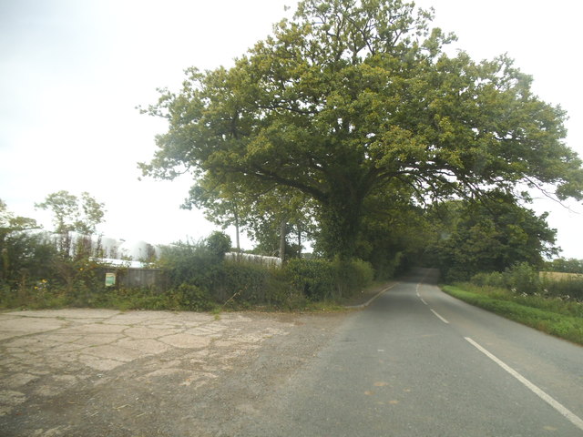
Haven is a small village located in the county of Sussex, England. Situated in the southern part of the country, it is nestled amidst picturesque countryside and offers a tranquil and idyllic setting. The village is known for its natural beauty and is a popular destination for nature lovers and outdoor enthusiasts.
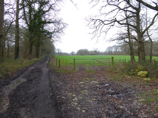
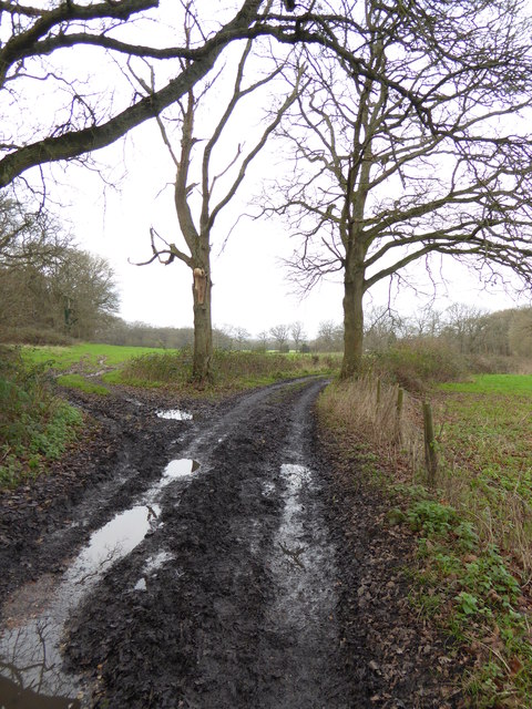
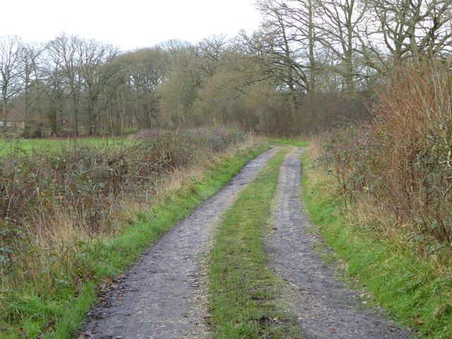
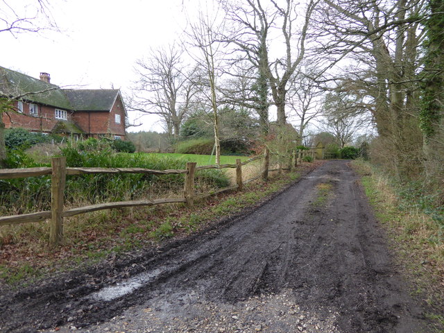
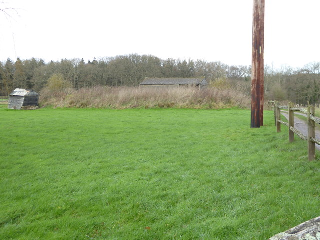
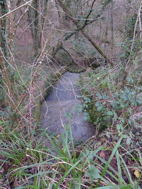
The Haven is characterized by its charming rural atmosphere, featuring traditional English cottages and a quaint village green. The area is surrounded by lush green fields, rolling hills, and dense woodlands, making it a haven for wildlife and a perfect place for hiking, cycling, and exploring nature.
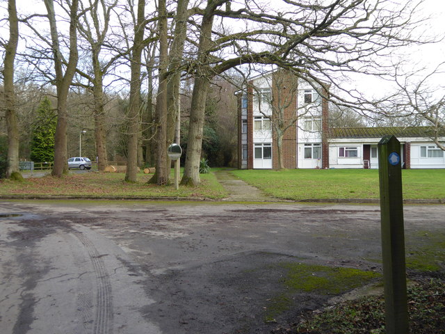
In terms of amenities, The Haven offers a range of facilities to cater to both residents and visitors. There is a local pub that serves traditional British cuisine and a selection of ales, providing a warm and friendly atmosphere for socializing. The village also has a small convenience store, providing basic necessities for its inhabitants.
For those seeking cultural experiences, The Haven is not far from several historical landmarks and attractions. The nearby town of Sussex offers a variety of shops, restaurants, and museums, allowing visitors to delve into the region's rich heritage.
Overall, The Haven in Sussex is a true gem for those seeking a peaceful and scenic retreat. Its natural beauty, coupled with its warm community spirit, make it an ideal destination for anyone looking to escape the hustle and bustle of city life and immerse themselves in the beauty of the English countryside.
If you have any feedback on the listing, please let us know in the comments section below.
Haven, The Images
Images are sourced within 2km of 51.064823/-0.448676 or Grid Reference TQ0830. Thanks to Geograph Open Source API. All images are credited.


Haven, The is located at Grid Ref: TQ0830 (Lat: 51.064823, Lng: -0.448676)
Administrative County: West Sussex
District: Horsham
Police Authority: Sussex
What 3 Words
///chase.embraced.bloomers. Near Rudgwick, West Sussex
Nearby Locations
Related Wikis

The Haven, West Sussex
The Haven is a rural hamlet in West Sussex, south east England located about 7 miles to the west of Horsham.The Haven is primarily an agricultural area...

Five Oaks
Five Oaks is a large hamlet in the Horsham District of West Sussex, England. It lies about 1.7 miles (2.8 km) north of Billingshurst on the Roman road...

Tisman's Common
Tisman's Common is a hamlet in the Horsham District of West Sussex, England. It stands in the parish of Rudgwick, on the Rudgwick to Loxwood road, 6.4...

Slinfold railway station
Slinfold railway station was on the Cranleigh Line and served the village of Slinfold in West Sussex. == History == The line had a single track and opened...

Rudgwick railway station
Rudgwick railway station was on the Cranleigh Line. It served the village of Rudgwick in West Sussex until June, 1965. == History == Rudgwick station opened...

Slinfold
Slinfold is a village and civil parish in the Horsham District of West Sussex, England. == Geography == The village is almost 4 miles (6.4 km) west of...
Rudgwick
Rudgwick is a village and civil parish in the Horsham District of West Sussex, England. The village is 6 miles (10 km) west from Horsham on the north...

Coppedhall Hanger
Coppedhall Hanger is a 0.6-hectare (1.5-acre) geological Site of Special Scientific Interest north of Billingshurst in West Sussex. It is a Geological...
Nearby Amenities
Located within 500m of 51.064823,-0.448676Have you been to Haven, The?
Leave your review of Haven, The below (or comments, questions and feedback).