Basset's Copse
Wood, Forest in Surrey Waverley
England
Basset's Copse
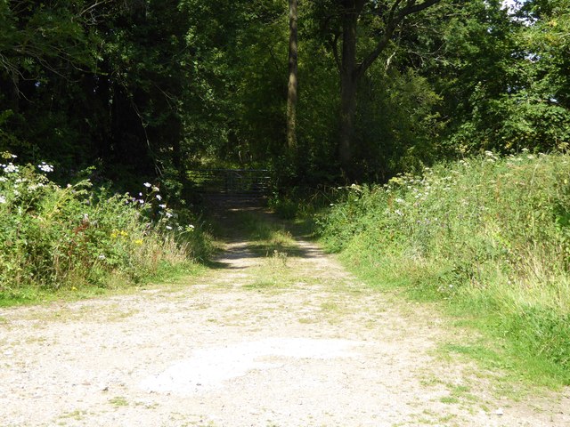
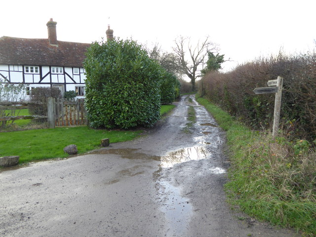
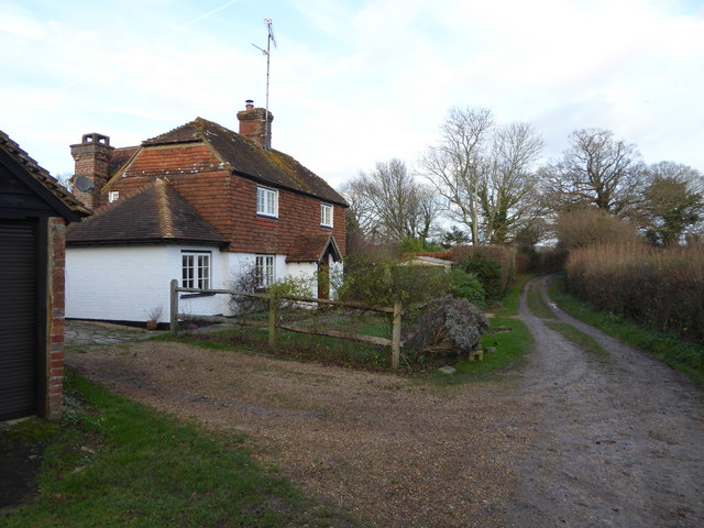
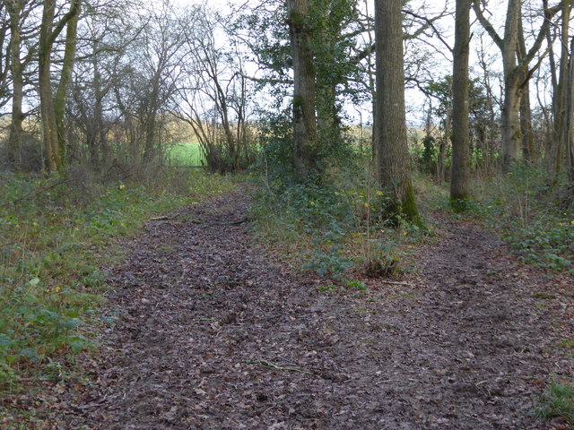
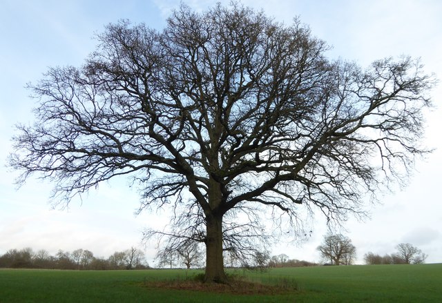
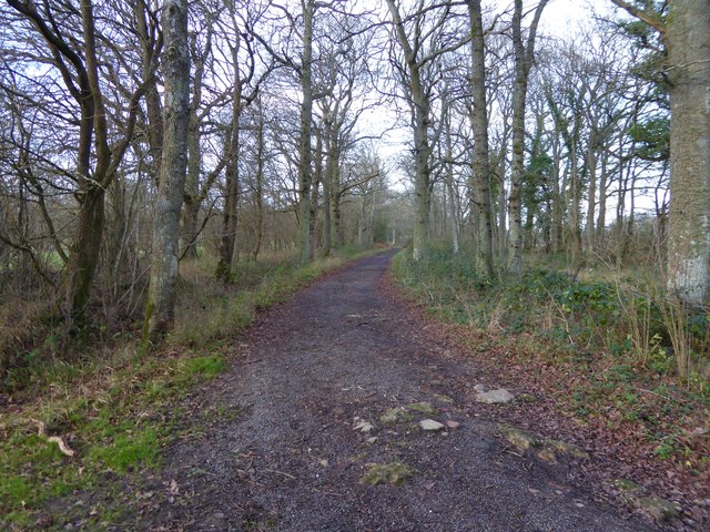
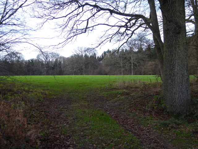
Basset's Copse is a picturesque woodland located in Surrey, England. Situated near the village of Betchworth, it covers an area of approximately 20 acres. The copse is known for its dense tree cover, predominantly consisting of oak, beech, and birch trees, which create a serene and tranquil atmosphere.
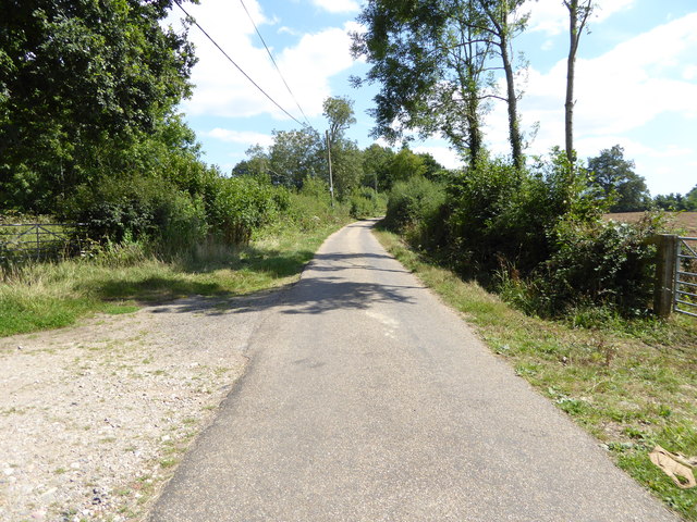
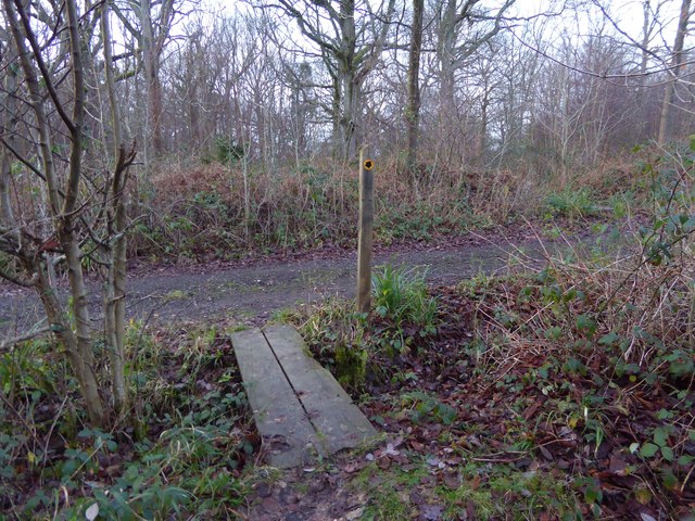
The woodland is situated on slightly undulating terrain, providing visitors with an opportunity to explore its diverse landscape. It is intersected by several footpaths that allow for easy access and navigation throughout the copse. These paths are well-maintained, making it a popular destination for walkers, joggers, and nature enthusiasts.
Basset's Copse is home to a variety of wildlife, including deer, squirrels, and numerous bird species. The copse's dense vegetation offers a safe haven for these animals, providing them with ample food and shelter. Birdwatchers often flock to the area in search of rare and migratory species.
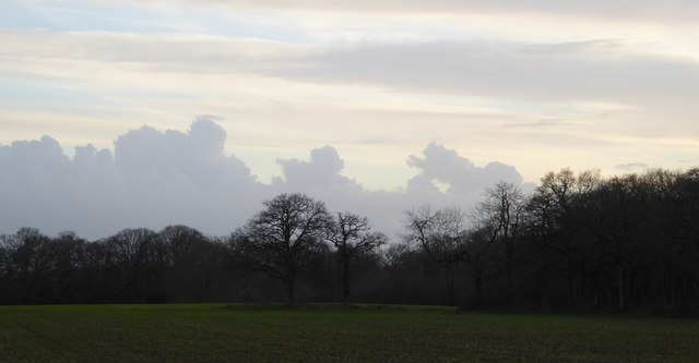
Throughout the year, Basset's Copse showcases the beauty of nature's changing seasons. In spring, the woodland comes alive with vibrant blossoms and fresh green foliage. Summer brings a lush canopy of leaves that provides shade and coolness on hot days. Autumn gifts visitors with a mesmerizing display of golden hues as the leaves turn from green to yellow and eventually, fiery red. Winter transforms Basset's Copse into a peaceful winter wonderland, with frost-covered trees and a quiet stillness that is truly enchanting.
Overall, Basset's Copse is a haven for nature lovers, offering a tranquil escape from the hustle and bustle of everyday life. Its beauty, diversity, and accessibility make it a cherished gem in the heart of Surrey.
If you have any feedback on the listing, please let us know in the comments section below.
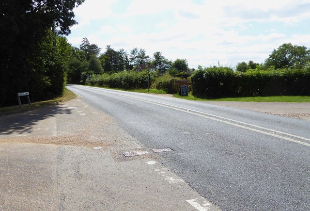
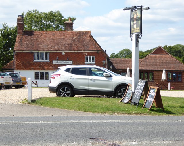
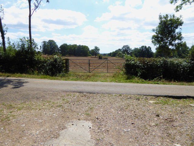
Basset's Copse Images
Images are sourced within 2km of 51.090809/-0.50586651 or Grid Reference TQ0433. Thanks to Geograph Open Source API. All images are credited.


Basset's Copse is located at Grid Ref: TQ0433 (Lat: 51.090809, Lng: -0.50586651)
Administrative County: Surrey
District: Waverley
Police Authority: Surrey
What 3 Words
///ownership.archives.cobbles. Near Rudgwick, West Sussex
Nearby Locations
Related Wikis

Alfold
Alfold is a village and civil parish in Surrey, England on the West Sussex border. Alfold is a dispersed or polyfocal village in the Green Belt, which...

Rikkyo School in England
Rikkyo School in England (立教英国学院, Rikkyō Eikoku Gakuin) is a Japanese boarding primary and secondary school in Rudgwick, Horsham District, West Sussex...

Alfold F.C.
Alfold Football Club is a football club based in Alfold, Surrey, England. They are currently members of the Southern Combination Division One and play...

Loxwood
Loxwood is a small village and civil parish with several outlying settlements, in the Chichester district of West Sussex, England, within the Low Weald...

Tisman's Common
Tisman's Common is a hamlet in the Horsham District of West Sussex, England. It stands in the parish of Rudgwick, on the Rudgwick to Loxwood road, 6.4...

Fir Tree Copse
Fir Tree Copse is a 6-hectare (15-acre) nature reserve south-east of Dunsfold in Surrey. It is managed by the Surrey Wildlife Trust and is part of the...

Wey and Arun Canal
The Wey and Arun Canal is a partially open, 23-mile-long (37 km) canal in the southeast of England. It runs southwards from the River Wey at Gunsmouth...

London to Portsmouth canal
The London to Portsmouth canal was a concept for the construction of a secure inland canal route from the British capital of London to the headquarters...
Nearby Amenities
Located within 500m of 51.090809,-0.50586651Have you been to Basset's Copse?
Leave your review of Basset's Copse below (or comments, questions and feedback).