Wanbrook Copse

Wood, Forest in Surrey Waverley

England

Wanbrook Copse

Barberry Bridge, River Lox Public footpath 622_1 crosses an interesting brick bridge. Its muddy state suggests the river often floods. This is looking upstream.
Barberry Bridge, River Lox Credit: Robin Webster

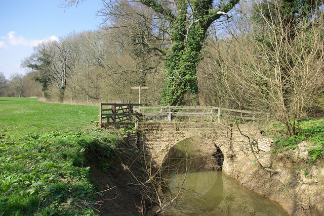
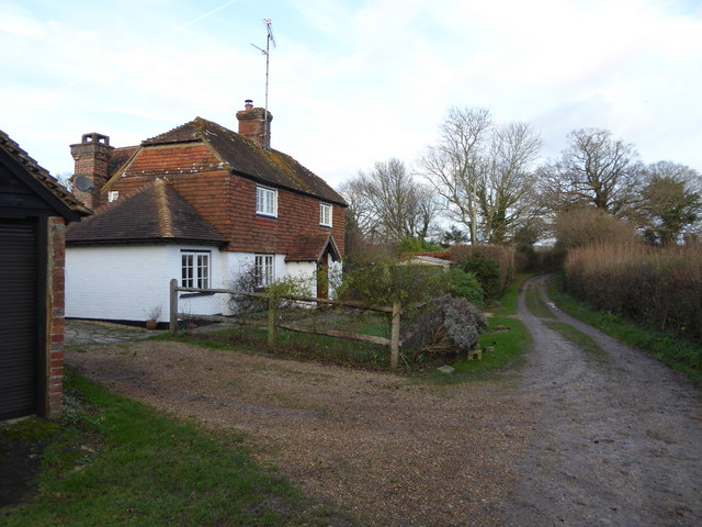
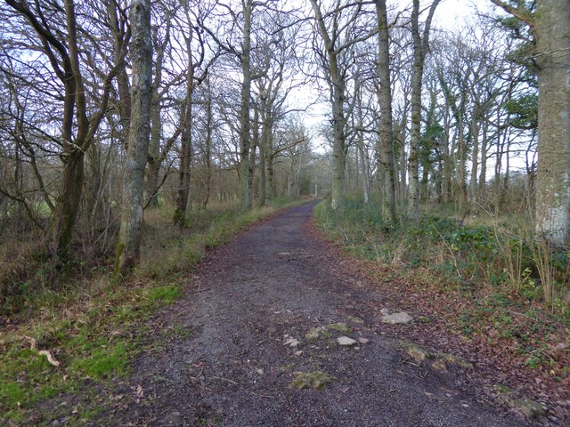
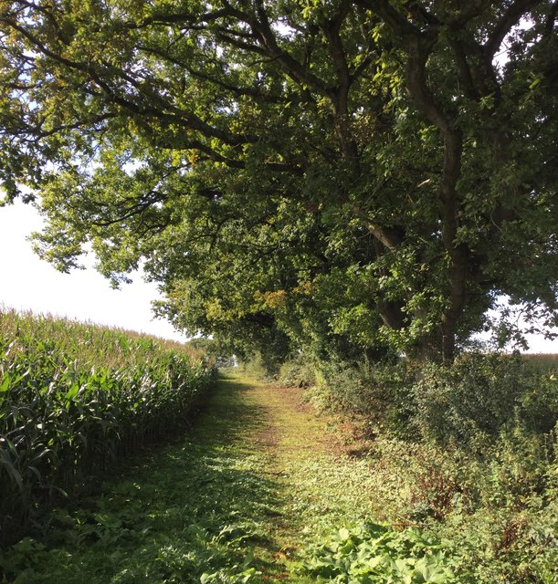
Wanbrook Copse is a picturesque woodland located in the county of Surrey, England. Covering an area of approximately 20 hectares, it is a charming example of a traditional British copse. The copse is situated near the village of Wanborough, nestled between the towns of Guildford and Farnham.

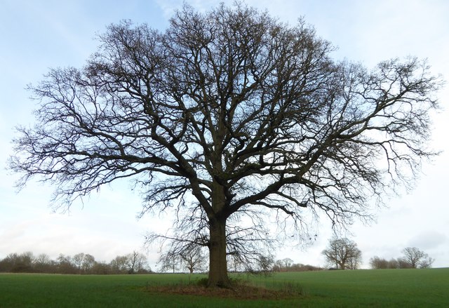
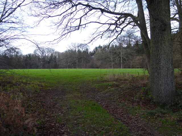
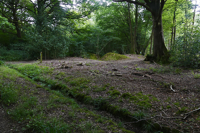
This woodland is characterized by its dense canopy of deciduous trees, predominantly consisting of oak and beech. The trees provide ample shade and create a tranquil and serene atmosphere within the copse. The forest floor is covered with a diverse array of flora, including bluebells, primroses, and ferns, which add vibrant colors and textures to the landscape.

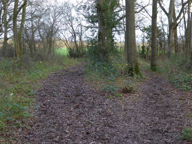
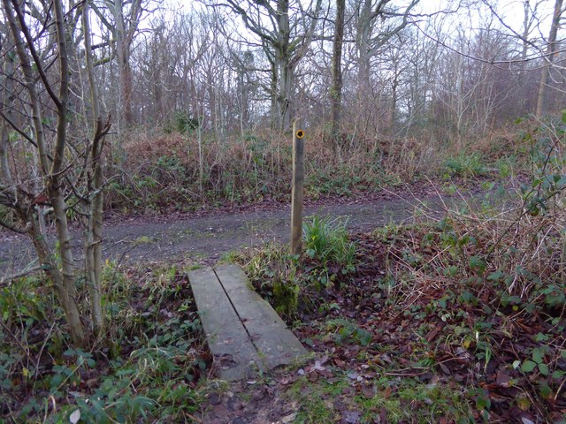
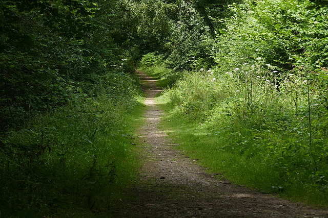
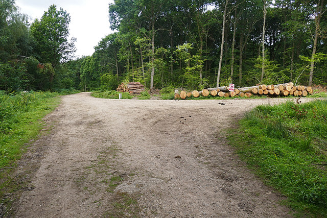
Walking trails wind their way through Wanbrook Copse, allowing visitors to explore the beauty of nature at their own pace. The paths are well-maintained and offer a peaceful escape from the hustle and bustle of everyday life. Birdwatchers will be delighted to find a variety of bird species, such as woodpeckers, nuthatches, and thrushes, making the copse their home.

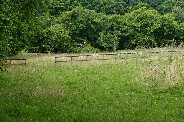
Wanbrook Copse is not only a haven for wildlife but also serves as an important ecological site. The woodland provides a habitat for numerous species, including deer, foxes, and squirrels, and plays a crucial role in maintaining the local ecosystem.

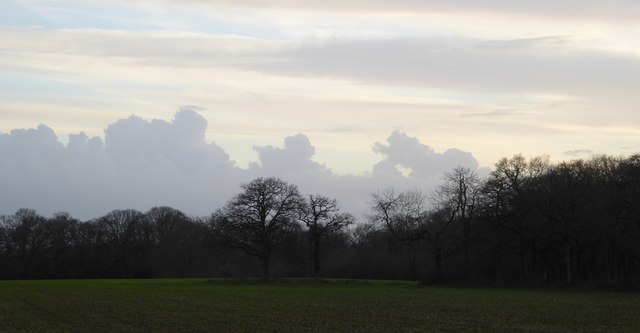
Whether it is for a leisurely stroll, a family picnic, or a nature-inspired photography session, Wanbrook Copse offers a serene and enchanting experience for visitors of all ages. It is a testament to the natural beauty that can be found in the heart of Surrey.

If you have any feedback on the listing, please let us know in the comments section below.

Wanbrook Copse Images

Images are sourced within 2km of 51.09244/-0.51315398 or Grid Reference TQ0433. Thanks to Geograph Open Source API. All images are credited.

Barberry Bridge, River Lox Public footpath 622_1 crosses an interesting brick bridge. Its muddy state suggests the river often floods. This is looking upstream.
Barberry Bridge, River Lox
Public footpath 622_1 crosses an interesting brick bridge. Its muddy state suggests the river often floods. This is looking upstream.
Bungalows on Loxwood Road, Alfold Crossways
Loxwood Road, Alfold Crossways
Bridleway to Tisman's Common passes cottage
Bridleway going east through woodland towards Barnsfold
Tree west of Barnsfield
Bridleway goes north towards Hope Rough
Diagonal view across field in Hope Rough This is in West Sussex.
Diagonal view across field in Hope Rough
This is in West Sussex.
Footpath crosses track at Clearmount This is in West Sussex.
Footpath crosses track at Clearmount
This is in West Sussex.
Clouds before sunset
Path into woodland in Rikkyo School grounds The woodland is known as The Knob.
Path into woodland in Rikkyo School grounds
The woodland is known as The Knob.
Signpost on bridleway in grounds of Rikkyo School
Overgrown track, Sidney Wood A shaded track through Sidney Wood. The left hand side was clear felled in the 1990s, now it is impenetrable.
Overgrown track, Sidney Wood
A shaded track through Sidney Wood. The left hand side was clear felled in the 1990s, now it is impenetrable.
Old paddock, Sidney Wood One of the paddocks off Sachell Hill, a public right of way near Sidney Wood.
Old paddock, Sidney Wood
One of the paddocks off Sachell Hill, a public right of way near Sidney Wood.
Forest Tracks, Sidney Wood The junction of two of the main forest tracks through Sidney Wood.
Forest Tracks, Sidney Wood
The junction of two of the main forest tracks through Sidney Wood.
Sachellhill Lane The junction of Sachelhill Lane, a footpath running along the east side of Sidney Wood, with the footpath off to the right towards Alfold.
Sachellhill Lane
The junction of Sachelhill Lane, a footpath running along the east side of Sidney Wood, with the footpath off to the right towards Alfold.
Farms north of Loxwood from the air Songhurst Furze is the large wood on the left; Old and New Songhurst farms lie a little away from the wood's edge. The farm buildings by the wood's corner go unnamed on maps; just to their right is Songhurst. At lower right is Alfold Bars; Loxwood is at upper right.
Farms north of Loxwood from the air
Songhurst Furze is the large wood on the left; Old and New Songhurst farms lie a little away from the wood's edge. The farm buildings by the wood's corner go unnamed on maps; just to their right is Songhurst. At lower right is Alfold Bars; Loxwood is at upper right.
Line of Oaks A fine line of oak trees beside the bridleway after it emerges from Wildwood Copse heading south.
Line of Oaks
A fine line of oak trees beside the bridleway after it emerges from Wildwood Copse heading south.
Show me another place!

Wanbrook Copse is located at Grid Ref: TQ0433 (Lat: 51.09244, Lng: -0.51315398)

Administrative County: Surrey

District: Waverley

Police Authority: Surrey

What 3 Words

///roadways.eagles.snails. Near Rudgwick, West Sussex

Related Wikis

Alfold

Alfold is a village and civil parish in Surrey, England on the West Sussex border. Alfold is a dispersed or polyfocal village in the Green Belt, which...

Rikkyo School in England

Rikkyo School in England (立教英国学院, Rikkyō Eikoku Gakuin) is a Japanese boarding primary and secondary school in Rudgwick, Horsham District, West Sussex...

Alfold F.C.

Alfold Football Club is a football club based in Alfold, Surrey, England. They are currently members of the Southern Combination Division One and play...

Loxwood

Loxwood is a small village and civil parish with several outlying settlements, in the Chichester district of West Sussex, England, within the Low Weald...

Fir Tree Copse

Fir Tree Copse is a 6-hectare (15-acre) nature reserve south-east of Dunsfold in Surrey. It is managed by the Surrey Wildlife Trust and is part of the...

Wey and Arun Canal

The Wey and Arun Canal is a partially open, 23-mile-long (37 km) canal in the southeast of England. It runs southwards from the River Wey at Gunsmouth...

London to Portsmouth canal

The London to Portsmouth canal was a concept for the construction of a secure inland canal route from the British capital of London to the headquarters...

Dunsfold Aerodrome

Dunsfold Aerodrome (former ICAO code EGTD) is an unlicensed airfield in Surrey, England, near the village of Cranleigh. It extends across land in the villages...

Nearby Amenities

Located within 500m of 51.09244,-0.51315398
Barrier: stile
Lat/Long: 51.0959323/-0.5144731
Barrier: stile
Lat/Long: 51.0961309/-0.5149492
Wanbrook Barn
Place: isolated_dwelling
Lat/Long: 51.0931807/-0.5121795
Songhurst
Place: isolated_dwelling
Lat/Long: 51.0891377/-0.5112321
The data included in this document is from www.openstreetmap.org. The data is made available under ODbL.

Have you been to Wanbrook Copse?

Leave your review of Wanbrook Copse below (or comments, questions and feedback).