Songhurstkiln Copse

Wood, Forest in Sussex Chichester

England

Songhurstkiln Copse

Wey and Arun Canal Brewhurst Bridge is visible in the distance.
Wey and Arun Canal Credit: Simon Carey

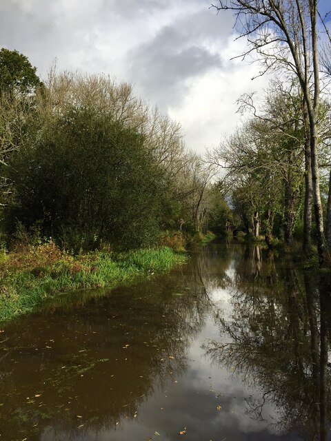
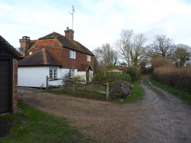
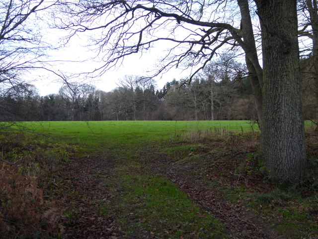
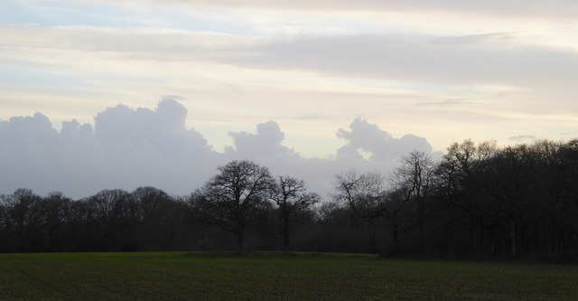
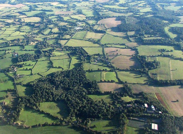
Songhurstkiln Copse is a picturesque woodland located in Sussex, England. Spread across a vast area, the copse is known for its dense forest and diverse range of flora and fauna. The copse is situated in the heart of the South Downs National Park, making it a popular destination for nature enthusiasts and hikers.

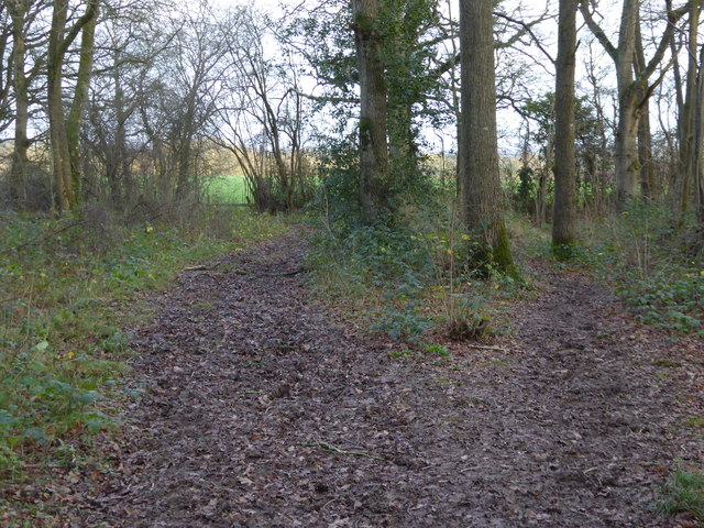
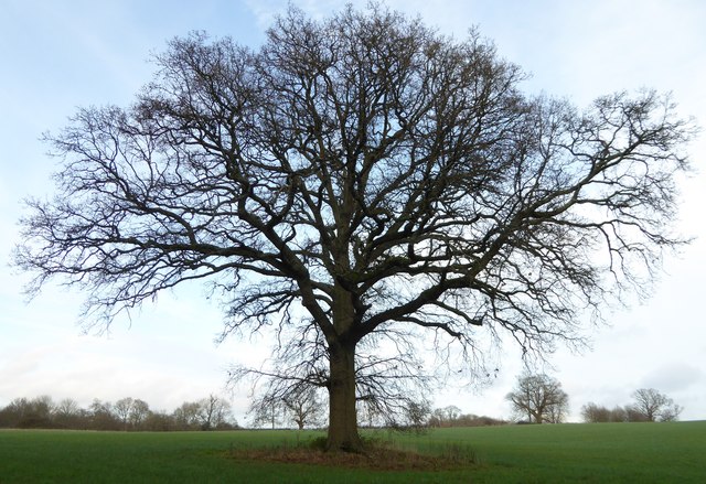
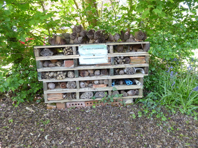
The woodland consists mainly of oak, beech, and hazel trees, which create a vibrant canopy of green during the summer months. These trees provide a natural habitat for a wide variety of wildlife, including birds, mammals, and insects. Visitors to Songhurstkiln Copse may spot species such as woodpeckers, owls, foxes, and deer, adding to the allure of the woodland.

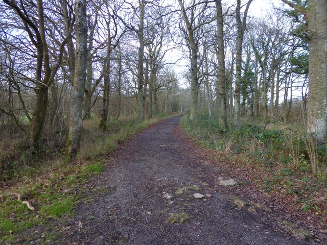
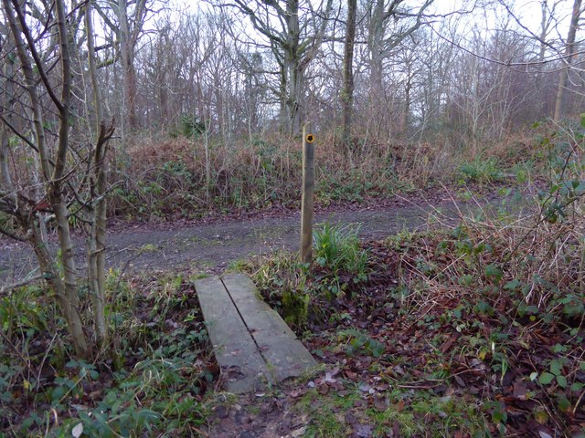
The copse features several well-maintained footpaths and trails, allowing visitors to explore its natural beauty at their own pace. One of the most popular trails is the Songhurstkiln Copse Circular Walk, which takes visitors through the heart of the woodland, offering breathtaking views of the surrounding countryside.

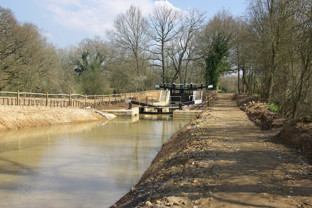
In addition to its natural splendor, Songhurstkiln Copse also has a rich historical significance. The site was once home to an iron-smelting furnace, known as a kiln, which was used during the 17th and 18th centuries. Today, remnants of this industrial heritage can still be found, adding an intriguing layer to the copse's character.

Overall, Songhurstkiln Copse is a captivating woodland that offers a tranquil escape for nature lovers. With its diverse range of wildlife, stunning landscapes, and historical significance, it is a place that truly showcases the beauty of the Sussex countryside.

If you have any feedback on the listing, please let us know in the comments section below.

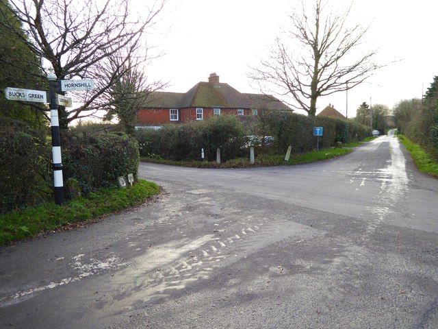
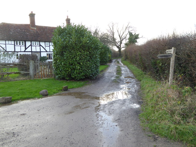
Songhurstkiln Copse Images

Images are sourced within 2km of 51.087528/-0.50455864 or Grid Reference TQ0433. Thanks to Geograph Open Source API. All images are credited.

Wey and Arun Canal Brewhurst Bridge is visible in the distance.
Wey and Arun Canal
Brewhurst Bridge is visible in the distance.
A bizarre canal lock, 2007 A possibly unique arrangement where the lower gates tower above the upper gates. This results from rebuilding to match an upper pound dug out to a lower level to pass under a new B2133 bridge. There is still a small rise. Lock 5, Brewhurst, on the Wey and Arun Junction Canal.
A bizarre canal lock, 2007
A possibly unique arrangement where the lower gates tower above the upper gates. This results from rebuilding to match an upper pound dug out to a lower level to pass under a new B2133 bridge. There is still a small rise. Lock 5, Brewhurst, on the Wey and Arun Junction Canal.
Road with no name crosses Hornshill Lane
Road becomes bridleway at Barnsfold Farm House
Bridleway to Tisman's Common passes cottage
Bridleway going east through woodland towards Barnsfold
Tree west of Barnsfield
Bridleway goes north towards Hope Rough
Diagonal view across field in Hope Rough This is in West Sussex.
Diagonal view across field in Hope Rough
This is in West Sussex.
Footpath crosses track at Clearmount This is in West Sussex.
Footpath crosses track at Clearmount
This is in West Sussex.
Clouds before sunset
Path into woodland in Rikkyo School grounds The woodland is known as The Knob.
Path into woodland in Rikkyo School grounds
The woodland is known as The Knob.
Signpost on bridleway in grounds of Rikkyo School
Sheep in Loxwood Diamond Jubilee Community Garden
Superior accommodation in Loxwood Diamond Jubilee Community Garden
Brewhurst Bridge Brewhurst Bridge which was restored in 1994 crossing over the Wey and Arun Canal.
Brewhurst Bridge
Brewhurst Bridge which was restored in 1994 crossing over the Wey and Arun Canal.
Farms north of Loxwood from the air Songhurst Furze is the large wood on the left; Old and New Songhurst farms lie a little away from the wood's edge. The farm buildings by the wood's corner go unnamed on maps; just to their right is Songhurst. At lower right is Alfold Bars; Loxwood is at upper right.
Farms north of Loxwood from the air
Songhurst Furze is the large wood on the left; Old and New Songhurst farms lie a little away from the wood's edge. The farm buildings by the wood's corner go unnamed on maps; just to their right is Songhurst. At lower right is Alfold Bars; Loxwood is at upper right.
Around Tisman's Common from the air The large area of woodland is (mostly) Hornshill Wood; past its nearest edge and past Rikkyo School to the right runs the Sussex Border Path. The scattered hamlet of Tisman's Common is beyond the wood to the left. Pephurst and Bullham Woods form the large area of woodland at upper right.
Around Tisman's Common from the air
The large area of woodland is (mostly) Hornshill Wood; past its nearest edge and past Rikkyo School to the right runs the Sussex Border Path. The scattered hamlet of Tisman's Common is beyond the wood to the left. Pephurst and Bullham Woods form the large area of woodland at upper right.
Show me another place!

Songhurstkiln Copse is located at Grid Ref: TQ0433 (Lat: 51.087528, Lng: -0.50455864)

Administrative County: West Sussex

District: Chichester

Police Authority: Sussex

What 3 Words

///liberated.defrost.nails. Near Rudgwick, West Sussex

Related Wikis

Rikkyo School in England

Rikkyo School in England (立教英国学院, Rikkyō Eikoku Gakuin) is a Japanese boarding primary and secondary school in Rudgwick, Horsham District, West Sussex...

Alfold

Alfold is a village and civil parish in Surrey, England on the West Sussex border. Alfold is a dispersed or polyfocal village in the Green Belt, which...

Loxwood

Loxwood is a small village and civil parish with several outlying settlements, in the Chichester district of West Sussex, England, within the Low Weald...

Tisman's Common

Tisman's Common is a hamlet in the Horsham District of West Sussex, England. It stands in the parish of Rudgwick, on the Rudgwick to Loxwood road, 6.4...

Alfold F.C.

Alfold Football Club is a football club based in Alfold, Surrey, England. They are currently members of the Southern Combination Division One and play...

Loxwood F.C.

Loxwood Football Club is a football club based in Loxwood, West Sussex, England. Nicknamed "The Magpies" and affiliated to the Surrey County FA, they are...

Fir Tree Copse

Fir Tree Copse is a 6-hectare (15-acre) nature reserve south-east of Dunsfold in Surrey. It is managed by the Surrey Wildlife Trust and is part of the...

Ifold

Ifold is a hamlet in West Sussex and part of the civil Parish of Plaistow, of which it is the largest settlement. Ifold is classified as a hamlet, because...

Nearby Amenities

Located within 500m of 51.087528,-0.50455864
Songhurst Farm
Note Retag: CS #48756035
Place: farm
Lat/Long: 51.0884799/-0.5081353
Old Songhurst Farm
Place: farm
Lat/Long: 51.085889/-0.5096555
Songhurst
Place: isolated_dwelling
Lat/Long: 51.0891377/-0.5112321
The data included in this document is from www.openstreetmap.org. The data is made available under ODbL.

Have you been to Songhurstkiln Copse?

Leave your review of Songhurstkiln Copse below (or comments, questions and feedback).