Buncer's Wood
Wood, Forest in Hertfordshire
England
Buncer's Wood
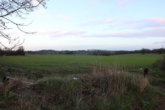
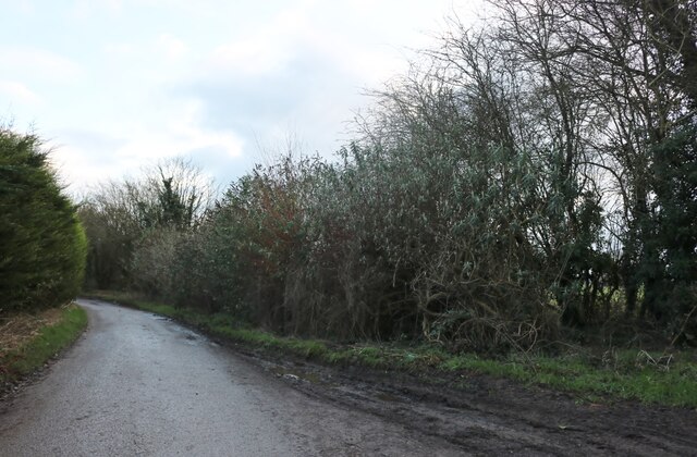
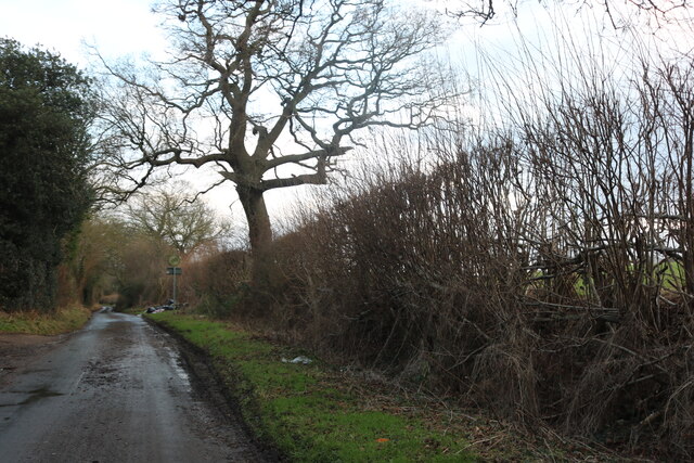
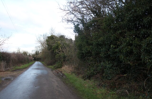
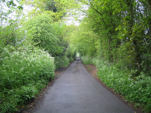
Buncer's Wood is a picturesque woodland located in Hertfordshire, England. Covering an area of approximately 50 acres, it is a popular destination for nature enthusiasts and outdoor lovers. The wood is characterized by its dense canopy of trees, comprising mainly of oak, beech, and ash, which create a lush and vibrant environment throughout the year.
The woodland is home to a diverse range of flora and fauna. Visitors can expect to see an array of wildflowers, including bluebells and primroses, that bloom in the spring, adding a burst of color to the landscape. The wood also provides a habitat for several species of birds, such as woodpeckers, owls, and thrushes, making it an ideal location for birdwatching.
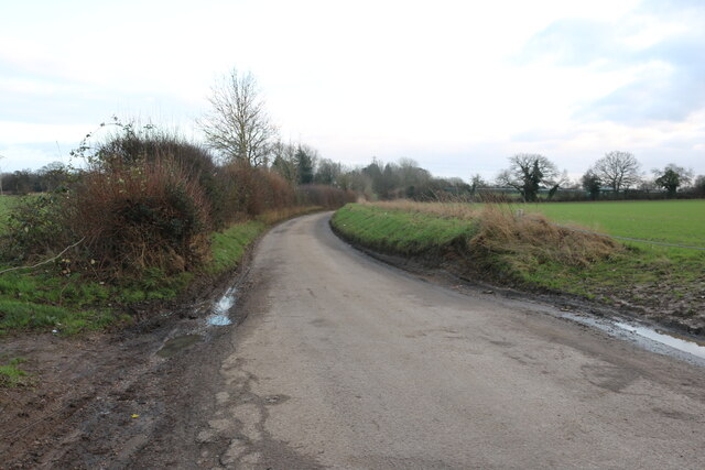
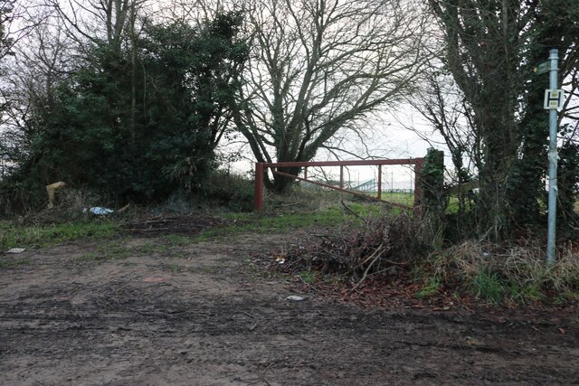
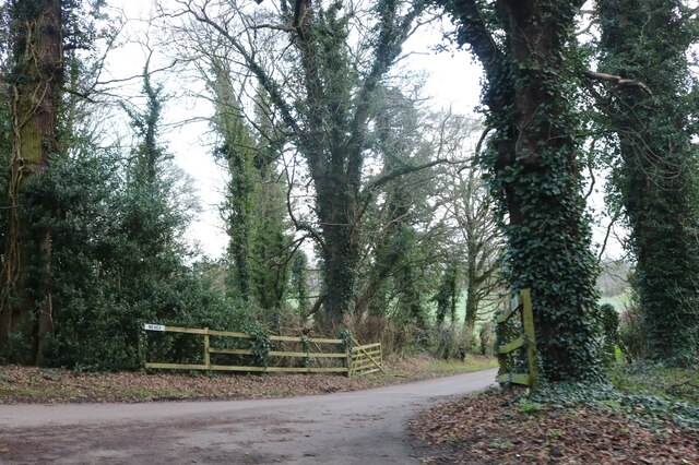
There are numerous well-maintained footpaths and trails that wind through Buncer's Wood, providing visitors with the opportunity to explore its natural beauty. These paths offer a peaceful and serene atmosphere, allowing visitors to immerse themselves in the tranquil surroundings.
In addition to its natural beauty, Buncer's Wood has historical significance as well. The wood is believed to have been in existence for centuries and has witnessed various changes throughout its history. It has served as a source of timber for the local community and has also been used for recreational purposes.
Overall, Buncer's Wood is a captivating destination that offers a perfect blend of natural beauty, wildlife, and historical significance. Whether one is seeking a peaceful stroll, a birdwatching adventure, or simply a place to connect with nature, this enchanting woodland in Hertfordshire is sure to leave a lasting impression.
If you have any feedback on the listing, please let us know in the comments section below.
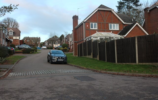
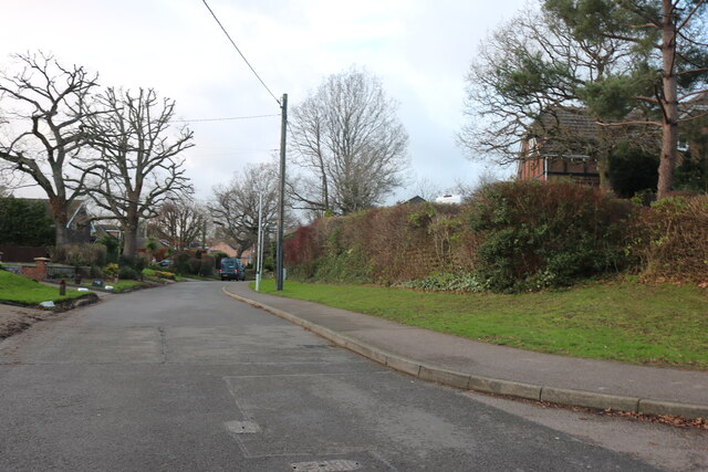
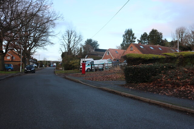
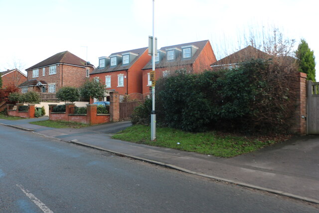
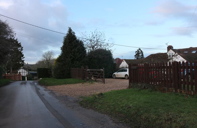
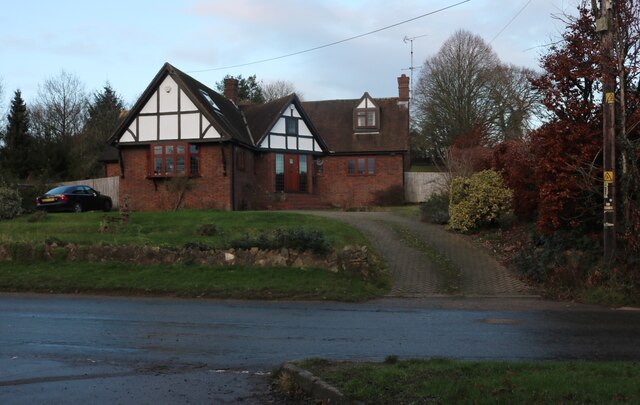
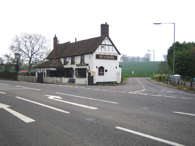
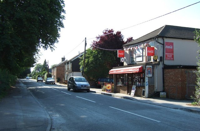
Buncer's Wood Images
Images are sourced within 2km of 51.861724/-0.47893963 or Grid Reference TL0419. Thanks to Geograph Open Source API. All images are credited.


Buncer's Wood is located at Grid Ref: TL0419 (Lat: 51.861724, Lng: -0.47893963)
Unitary Authority: Central Bedfordshire
Police Authority: Bedfordshire
What 3 Words
///busy.match.test. Near Caddington, Bedfordshire
Nearby Locations
Related Wikis

Caddington
Caddington is a village and civil parish in the Central Bedfordshire district of Bedfordshire, England. The western border of the parish is Watling Street...

Cottage Bottom Fields
Cottage Bottom Fields is a 14.1 hectare local nature reserve in Dunstable in Bedfordshire. It is owned and managed by Central Bedfordshire Council.The...

Church of St Mary, Kensworth
The Church of St Mary the Virgin is a Grade I listed church in Kensworth, Bedfordshire, England. It became a listed building on 3 February 1967. ��2...

Caddington F.C.
Caddington F.C. are a football club based in Caddington, near Luton, England. The club is affiliated to the Bedfordshire County Football Association and...
Zouches Farm transmitting station
Zouches Farm transmitting station is a microwave radio link site located near the top of Blows Downs at Zouches Farm, Caddington, Bedfordshire, England...
Kensworth
Kensworth is a village and civil parish located in the Central Bedfordshire district of Bedfordshire, England. The parish is located on the edge of Dunstable...
Markyate Priory
Markyate Priory was a Benedictine priory in Bedfordshire, England. It was established in 1145 and disestablished in 1537. == History == The priory of Markyate...

Cell Park
Cell Park (previously known as Markyate Cell) is a country house in Markyate, Hertfordshire near Luton, England. The house dates from the 16th century...
Nearby Amenities
Located within 500m of 51.861724,-0.47893963Have you been to Buncer's Wood?
Leave your review of Buncer's Wood below (or comments, questions and feedback).