Underley Copse
Wood, Forest in Sussex Horsham
England
Underley Copse
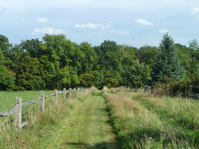
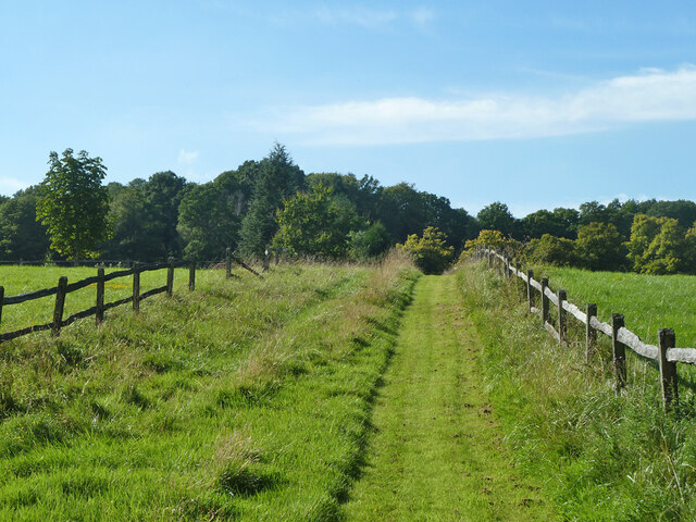
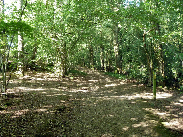
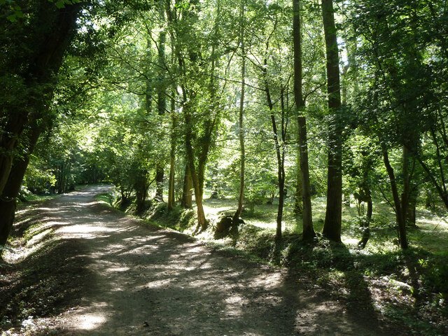
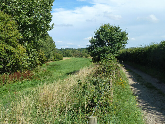
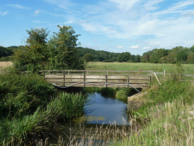
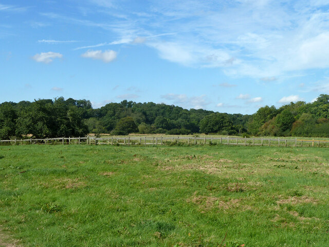
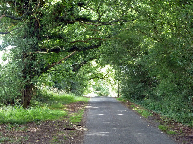
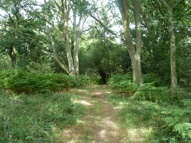
Underley Copse, located in Sussex, is a captivating woodland area that offers a tranquil escape from the bustling city life. Covering an expansive area, this copse is an enchanting mix of ancient trees, diverse flora, and abundant wildlife.
The copse is predominantly made up of deciduous trees, such as oak, beech, and ash, which create a dense canopy that provides shade and shelter. Walking through the copse, one is immersed in a symphony of bird songs, the rustling of leaves, and the gentle sound of a nearby stream.
The forest floor is adorned with a rich layer of moss, ferns, and wildflowers, creating a vibrant carpet of colors. In the spring, the copse comes alive with a burst of bluebells, transforming the forest floor into a mesmerizing sea of blue.
Underley Copse is home to a diverse range of wildlife. Visitors may be lucky enough to spot deer grazing in the early morning or catch a glimpse of a fox darting between the trees. The copse also provides a habitat for a variety of bird species, including woodpeckers, owls, and thrushes, making it a haven for birdwatchers.
The copse is popular among nature enthusiasts and hikers, offering a network of well-maintained trails that wind through the woodland. These trails provide the perfect opportunity to explore the copse's natural beauty, discover hidden nooks, and observe its abundant wildlife.
Underley Copse, with its tranquil atmosphere and breathtaking scenery, is a true gem in the heart of Sussex, offering a serene and rejuvenating experience for all who visit.
If you have any feedback on the listing, please let us know in the comments section below.
Underley Copse Images
Images are sourced within 2km of 50.978104/-0.50952927 or Grid Reference TQ0420. Thanks to Geograph Open Source API. All images are credited.


Underley Copse is located at Grid Ref: TQ0420 (Lat: 50.978104, Lng: -0.50952927)
Administrative County: West Sussex
District: Horsham
Police Authority: Sussex
What 3 Words
///engulfing.lower.shepherds. Near Pulborough, West Sussex
Nearby Locations
Related Wikis

Upper Arun
Upper Arun is a 17.6-hectare (43-acre) biological Site of Special Scientific Interest between Billingshurst and Pulborough in West Sussex.This 13-kilometre...

Codmore Hill
Codmore Hill is a hamlet in the Horsham District of West Sussex, England. It lies on the A29 road 1 mile (1.6 km) north of Pulborough. It is in the civil...

Pulborough
Pulborough is a large village and civil parish in the Horsham district of West Sussex, England, with some 5,000 inhabitants. It is located almost centrally...
North Heath
North Heath is a hamlet in the Horsham District of West Sussex, England. It lies just off the A29 road 1.9 miles (3 km) north of Pulborough. The Brinsbury...

Park Farm Cutting
Park Farm Cutting is a 0.2-hectare (0.49-acre) geological Site of Special Scientific Interest west of Pulborough in West Sussex. It is a Geological Conservation...
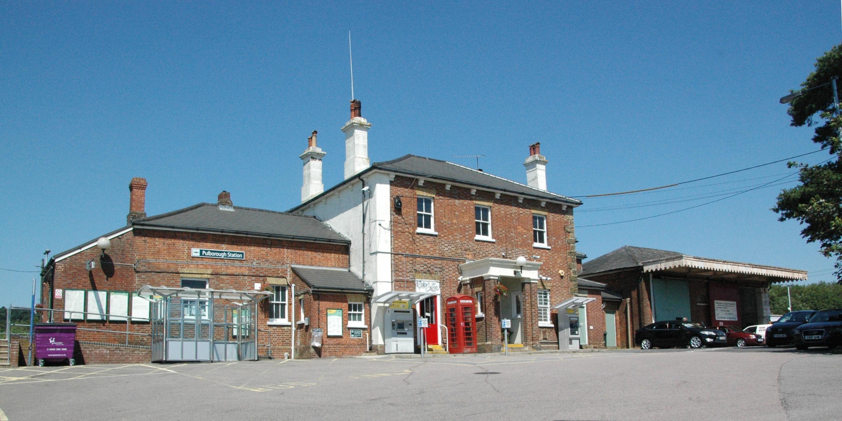
Pulborough railway station
Pulborough railway station serves the West Sussex village of Pulborough. It is at the western end of the village, just off the A283 road. It is 50 miles...

Pulborough (electoral division)
Pulborough is an electoral division of West Sussex in the United Kingdom and returns one member to sit on West Sussex County Council. The current County...

Marehill Quarry
Marehill Quarry is a 1.1-hectare (2.7-acre) geological Site of Special Scientific Interest east of Pulborough in West Sussex. It is owned and managed...
Nearby Amenities
Located within 500m of 50.978104,-0.50952927Have you been to Underley Copse?
Leave your review of Underley Copse below (or comments, questions and feedback).